

PORTLAND – A new flood map that will continue to allow development around Portland Harbor is the product of months of mostly collaborative discussions and data analysis, city and federal officials said Friday.
Both sides said the relationship they developed is a model for other cities that face development restrictions because of new flood maps being produced by the Federal Emergency Management Agency.
Additional Photos
Although the city and federal officials didn’t always agree, they worked together to create the most accurate flood map possible, said Michael Goetz, FEMA’s risk analysis branch chief for New England.
“It is a lesson for other communities” that will go through the process over the next few years, such as Portsmouth, N.H., Boston, Providence, R.I., and New Haven, Conn., he said. “We have always tried to work in collaboration and cooperation in our communities. Where that happens, everybody wins.”
Portland is the first city in New England with a significant commercial harbor to go through the re-mapping process, which uses new laser and digital map technology and sophisticated computer models. FEMA is spending more than $1 billion nationally to create new maps in areas that are prone to flooding and storm damage.
Discussions about Portland Harbor’s flood map began after FEMA announced its intention last summer to reclassify the harbor as a high-risk flood zone. The classification would have prohibited new construction on the city’s piers, and reconstruction of any structure that was more than 50 percent destroyed.
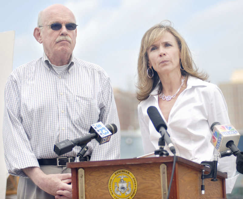
It also would have made it virtually impossible for property owners to borrow money for projects because they could not afford the required insurance, said Charlie Poole, whose family owns Union Wharf.
The result would have been devastating to the working waterfront, he said.
New data provided by the city, as well as wind data collected at the Portland International Jetport, allowed the agency to redraw its flood map for the harbor, Goetz said.
Soon after FEMA’s announcement last summer, Portland and South Portland hired Bob Gerber, an environmental engineer with Sebago Technics of Westbrook, to further analyze the agency’s data.
Portland officials said FEMA’s original analysis of the harbor was flawed because the agency chose an exposed section of the shore east of the Maine State Pier to analyze how the ocean and shore would interact in a storm. City officials said FEMA didn’t take into account the ocean-calming influence of the harbor’s numerous piers and wharves.
At the city’s urging, FEMA did a second analysis, examining how a 100-year storm would affect the area near the Portland Fish Pier, which is more sheltered.
The original analysis concluded that a 100-year storm would produce 5-foot waves; the second showed that the waves would be significantly smaller.
According to FEMA’s revised map, which it mailed to city officials on Friday, the only part of the harbor that will be included in the so-called V-zone will be a 25-foot-wide strip along the northeast edge of the city-owned Maine State Pier.
That won’t affect the city’s ability to redevelop the pier, said Penny St. Louis Littell, director of Portland’s Planning and Urban Development Department.
She said the city worked with FEMA to create a more refined and sophisticated model and show what really happens in the harbor during a major storm.
“A great result came from this,” she said. “It shows we can elect to work together.”
U.S. Rep. Chellie Pingree, D-Maine, who had an active interest in the issue along with other members of Maine’s congressional delegation, said she is pleased with the new flood map for Portland Harbor because the original plan would have been “disastrous” for the local economy.
“But it isn’t just about Portland,” she said. “It’s about a lot of other working waterfronts around the country that are going to be getting new flood zone maps, and I think the cooperation between the community and FEMA should set a good example.”
Staff Writer Tom Bell can be contacted at 791-6369 or at:
tbell@pressherald.com
Copy the Story Link
Send questions/comments to the editors.

Success. Please wait for the page to reload. If the page does not reload within 5 seconds, please refresh the page.
Enter your email and password to access comments.
Hi, to comment on stories you must . This profile is in addition to your subscription and website login.
Already have a commenting profile? .
Invalid username/password.
Please check your email to confirm and complete your registration.
Only subscribers are eligible to post comments. Please subscribe or login first for digital access. Here’s why.
Use the form below to reset your password. When you've submitted your account email, we will send an email with a reset code.