

Wouldn’t it be neat to see parts of the Lakes Region as it looked 200 years ago? While time travel may be wishful thinking, our local historical societies often have the next best thing.
On Monday, the Windham Historical Society will present a PowerPoint program called “Little Sebago Lake: A Lost Landmark.”
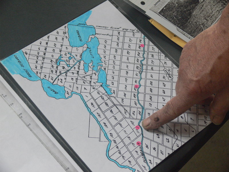
Additional Photos
“Two centuries ago, Little Sebago was very active,” said Ray Philpot, historian and researcher with the Windham Historical Society. “Its water supplied power to all the mills on the Pleasant River, Ditch Brook and Main’s Brook. It was an avenue for the transportation of raw materials.”
Though the lake may seem idyllic and far from any industrial uses today, it was the site of two man-made disasters that altered the geography of North Windham. Massive dam failures and washouts wreaked havoc all the way to Casco Bay. A river actually flowed backward under the influx of water.
It may surprise many to learn that the S.D. Warren Co., well known for manipulating big Sebago Lake, also had a major hand in Little Sebago’s history. Little Sebago used to flow into Big Sebago but now flows through a network of two small ponds — Mill Pond and Collins Pond — that were once part of a much larger Little Sebago Lake.
With a water level currently much lower than its original state, Little Sebago is now part of the Pleasant River watershed.
“Little Sebago used to have an outlet in the southwest corner of the middle section,” said Philpot. “It drained into the Sebago Lake Basin. Pettengill and Chaffin ponds drained into it as well.”
The rearranging began in 1814 with the first washout, called “the great freshet.”
“After the Revolution was a time of progress,” said Philpot. “Mills sprung up practically everywhere. All a mill required was a bend in the river or a ledge. There were approximately four mills along the Pleasant River before 1814.”
One mill, owned by Edward Anderson, suffered from a lack of water power. The audacious Anderson took it upon himself to remedy the situation by tracing his mill’s water source up to North Windham. From the Pleasant River, he followed Smith Brook, a small spring-fed stream, up to the shore of Little Sebago Lake, which was separated from a natural valley directly to its south by a small berm of earth. In a spur-of-the-moment decision, Anderson decided to increase the flow of Smith Brook by digging out this berm of earth, allowing some of Little Sebago’s water to flow down the valley to enlarge the tiny Smith Brook and supply his mill.
His plan worked. The new waterway passes under Varney Mill Road today and became what is now called Ditch Brook. Years ago, two mills were actually built here to take advantage of the new waterway.
However, events of June 14, 1814, including a period of very high water, causing Little Sebago Lake to rise, a dam to give way and Ditch Brook to become a raging torrent. The new mills were torn from their foundations and sent hurtling in a wall of water toward the Pleasant River. his ditch digging, Anderson had actually set the stage for his own mill’s demise.
“It took all the mills and bridges out on its way to the Presumpscot River,” said Philpot. “So much water came through when it hit the Pleasant River that it backed up and went upstream. The Pleasant River flowed backwards and confounded all the people who saw it.”
Because the makeup of the earth along the valley of the newly created Ditch Brook consists mostly of sand and loose rocks, the freshet carved out a trough some 50 feet deep and 200 feet wide in just a few hours.
“It was a man-made disaster,” said Philpot. “They say the sand went all the way to the ocean.”
All this caused a significant drop in the level of Little Sebago Lake, creating many of the islands seen today. Dams were rebuilt but were short-lived. Torrents came through again in May of 1861 that took out many mills and actually wiped out a section of town.
“Sawlogs, trees and remnants of the mills came down during the next flood and wiped out every mill along Popeville,” said Philpot. “It took out three bridges in South Windham. They say the effects were felt all the way to Portland.”
In 1890 S.D. Warren installed the present stone dam at the end of Little Sebago just north of the Route 115 bridge. This has guarded against flooding for the last 120 years. Philpot said the paper company actually owned a fair amount of the western shore of Little Sebago Lake and had a lumbering camp on Bass Island.
Philpot said the urge to document the area’s past came as a challenge of sorts. Someone asked why the historical society seems to have so much information on central and South Windham but very little on North Windham.
“At one time the lake was a major landmark and area of industry,” said Philpot, who grew up in North Windham. “Today there’s 24 miles of shoreline and it’s all privately owned. It had an active past that’s slowly being forgotten. I now feel satisfied that I can educate the rest of the town that North Windham once had a major historical landmark.”
The program will be held at 7 p.m. Monday at the historical society’s headquarters in the brick building at 234 Windham Center Road. Donations are suggested.
Don Perkins is a freelance writer who lives in Raymond. He can be reached at: presswriter@gmail.com
Send questions/comments to the editors.

Success. Please wait for the page to reload. If the page does not reload within 5 seconds, please refresh the page.
Enter your email and password to access comments.
Hi, to comment on stories you must . This profile is in addition to your subscription and website login.
Already have a commenting profile? .
Invalid username/password.
Please check your email to confirm and complete your registration.
Only subscribers are eligible to post comments. Please subscribe or login first for digital access. Here’s why.
Use the form below to reset your password. When you've submitted your account email, we will send an email with a reset code.