

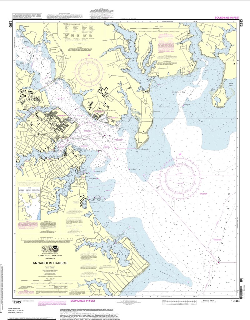
WASHINGTON – The federal government is going into uncharted waters, deep-sixing the giant paper nautical charts that it has been printing for mariners for more than 150 years.
The National Oceanic and Atmospheric Administration announced Tuesday that to save money, the government will stop turning out the traditional brownish, heavy paper maps after mid-April.
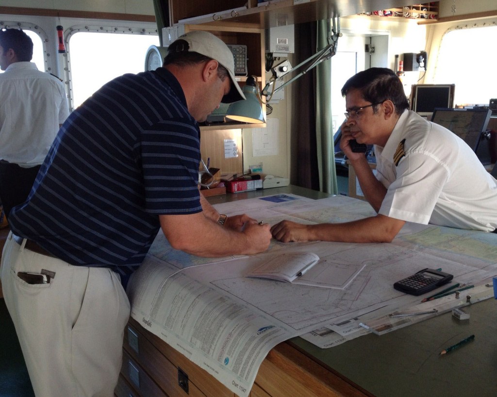
Additional Photos
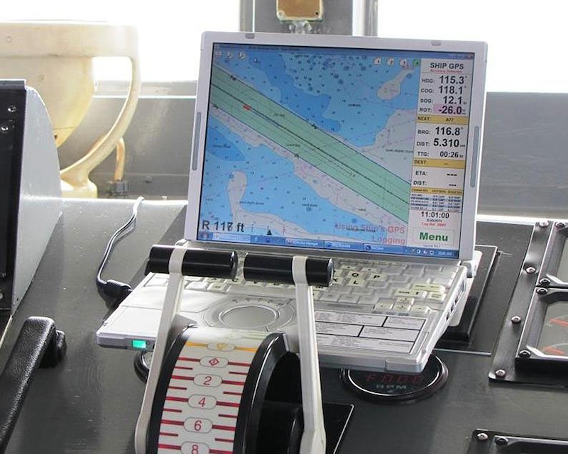
The agency will still chart the water for rocks, shipwrecks and other hazards, but sailors, boaters and fishermen will have to use private on-demand printing, PDFs or electronic maps to see the information, said Capt. Shep Smith, head of NOAA’s marine chart division.
“Think of them as the roadmap of the ocean,” said Smith, who grew up with charts of Penobscot Bay on his bedroom walls in Maine. “The navigational charts tell you what’s under the water, which is critical for navigation.”
Nowadays, most people instead use the on-demand maps printed by private shops, which are more up-to-date and accurate, Smith said.
Still, NOAA sells about 60,000 of the old 4-by-3-foot lithographic maps each year for about $20 apiece, the same amount it costs to print them.
The Federal Aviation Administration, which took over federal chart-making in 1999, wants to save some money and informed NOAA earlier this month that it is going to stop the presses, according to the ocean agency. FAA representatives did not return calls and emails for comment.
It costs NOAA about $100 million a year to survey and chart the nation’s waters. The agency will still spend the same money, but provide the information in the less traditional way.
Sea dogs say they will miss the charts, which also get used as decorations.
“It’s the nautical history, you know, pirates and ships,” said Newburyport, Mass., harbormaster Paul Hogg, who has a chart on his office wall. “It seems more nautical. There’s just kind of, like, a feel to it.”
There should be a historical feel to it, because the idea was Thomas Jefferson’s. He asked for a survey of the U.S. coast in 1807, and ever since, a government agency has been charting American waters. The soon-to-be-eliminated maps date to 1862.
The top-selling old-fashioned chart includes little of the U.S. It focuses on northwestern Washington state and Vancouver, Canada. The other top-selling charts cover the Detroit area, Prince William Sound in Alaska, Casco Bay in Maine, and Narragansett Bay in Rhode Island.
At New York Nautical, store manager James “Smitty” Smith saw the end of the old-fashioned maps coming. He sells far more of the on-demand maps on the lighter weight, whiter paper.
But personally, especially for decorations, he prefers the old maps because they are “more soothing on the eyes.”
“There must be some art value in them because a lot of people love them,” he said.
Send questions/comments to the editors.

Success. Please wait for the page to reload. If the page does not reload within 5 seconds, please refresh the page.
Enter your email and password to access comments.
Hi, to comment on stories you must . This profile is in addition to your subscription and website login.
Already have a commenting profile? .
Invalid username/password.
Please check your email to confirm and complete your registration.
Only subscribers are eligible to post comments. Please subscribe or login first for digital access. Here’s why.
Use the form below to reset your password. When you've submitted your account email, we will send an email with a reset code.