


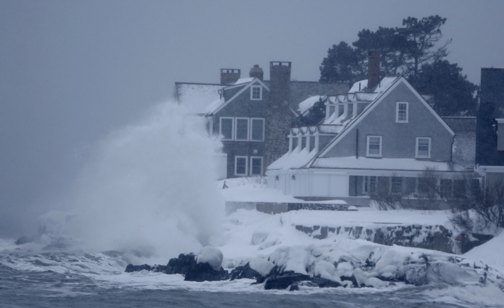


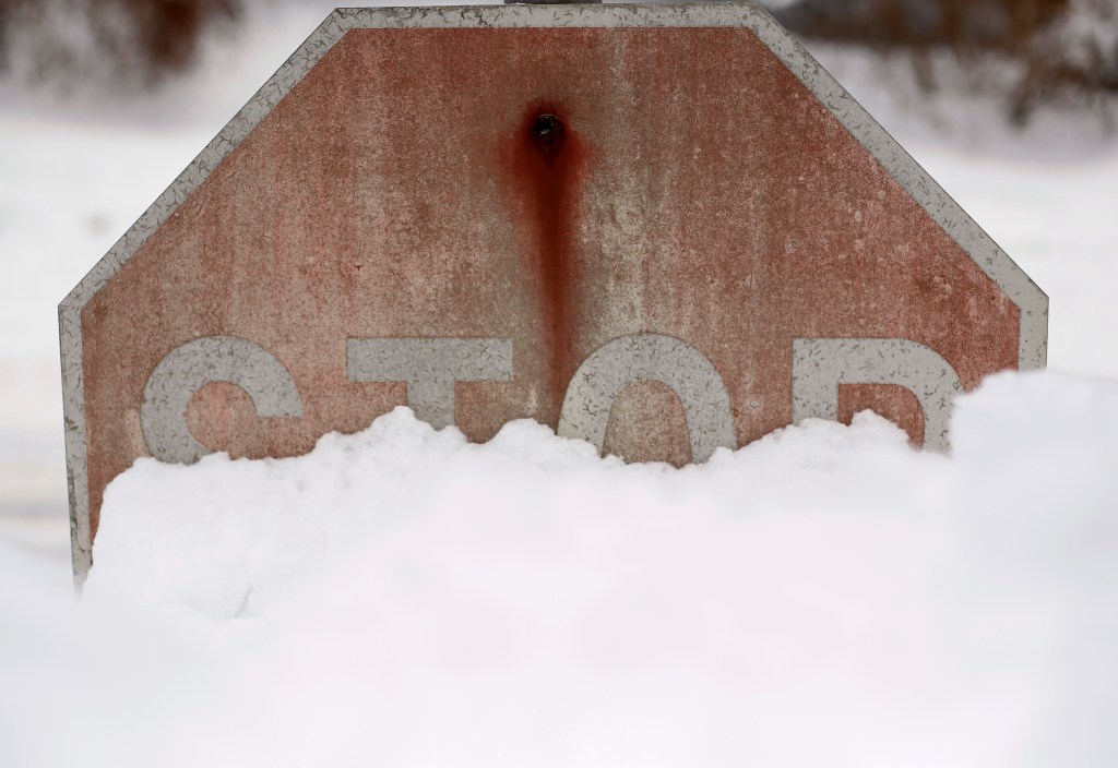
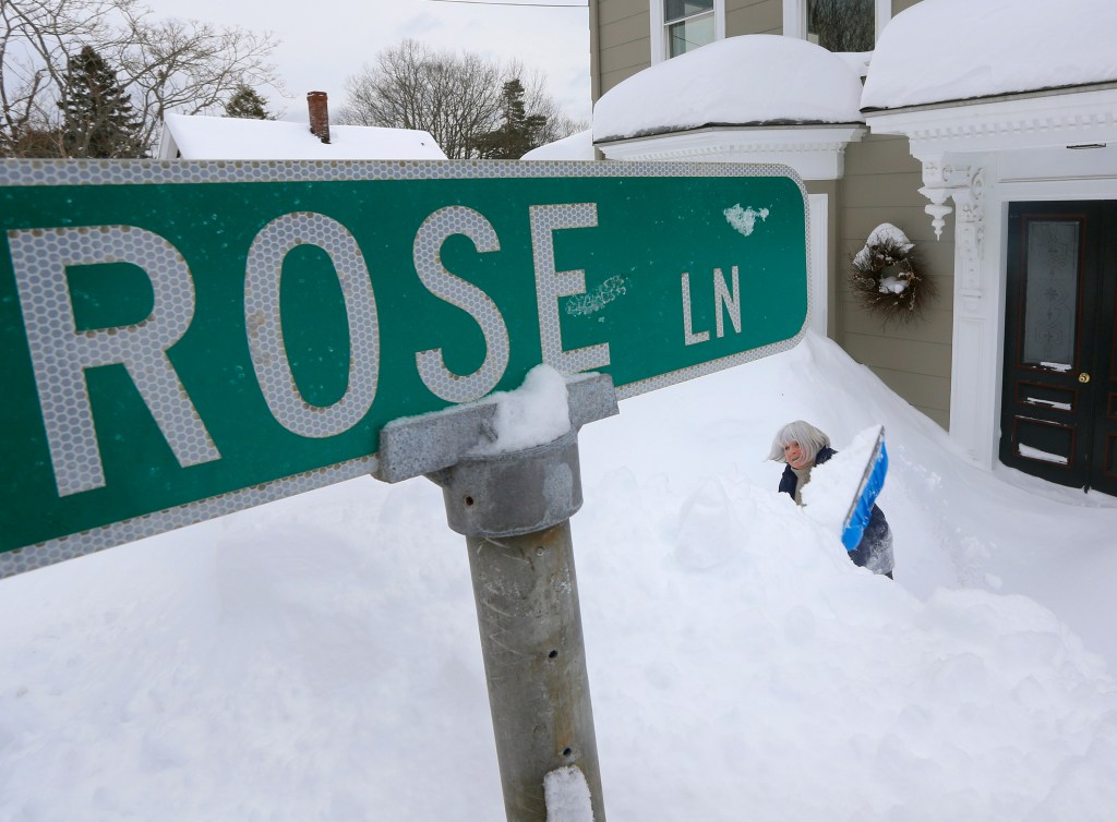

A major snowstorm forecast Thursday as having the potential to produce blizzard conditions in Maine split into two storm fronts this weekend, blasting coastal areas of York and Washington counties with 2 feet of snow but leaving coastal communities in between – such as Portland, Freeport, Bath and Rockland – virtually untouched.
A blizzard never materialized in York County, but the storm pummeled some communities, including York Beach, which got 24 inches of snow. Kittery and Ogunquit each got 17 inches, but towns to the west such as Hollis got a mere 3.3 inches. The Oxford County town of Bethel – situated in the heart of snow country –reported 1.1 inches.
Blizzard conditions did occur in parts of Down East Maine, according to the National Weather Service. The Washington County towns of Lubec and Eastport received 24 and 23 inches of snow, respectively.
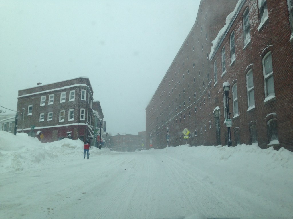
Portland and coastal communities to the north seemed to be in a no-snow zone. The Portland International Jetport recorded just 2.3 inches, while places such as Freeport and Bath got barely a dusting – 1.4 inches and 2 inches, respectively. Inland areas got even less, with Cumberland Center and Augusta each reporting 1.1 inches of snow.
Meteorologists apologized for the miscalculation, but pointed out that weather forecasting is an inexact science. A forecaster typically relies on more than a dozen computer models, each of which can contain dozens of mathematical variables. Most models agreed in advance that the weekend storm would be significant and had the potential to produce blizzard conditions.
Mike Kistner, a meteorologist with the weather service in Gray, said Sunday evening that a mid-Atlantic storm and a storm system to the north converged out to sea, about 100 miles farther east than earlier predicted. If the storms had met where the models predicted they would, places such as Portland would have seen as much snow as York Beach did.
Kistner likened the on-again, off-again snow accumulations along the coast to a summer thunderstorm, which can drench one town but leave a neighboring town with no rainfall.
“These storms are very tricky to predict because a lot of things have to come together in order for a big storm to develop,” Kistner said. “It’s an imperfect science. It was always meant to be probabilistic. But surprisingly enough, most people were more happy with us today than angry.”
David Epstein, a meteorologist and weather blogger for the Portland Press Herald, started to downgrade snow accumulation predictions Saturday after the computer models began to change.
Epstein conceded that forecasters are subject to public criticism, but he added: “It’s not exact. You do the best you can.”
“In the past five or 10 years, the public’s expectations have gone up as weather forecasting has gotten better,” Epstein said.
PLENTY OF PROBLEMS
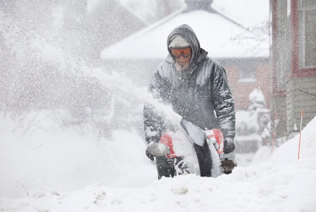
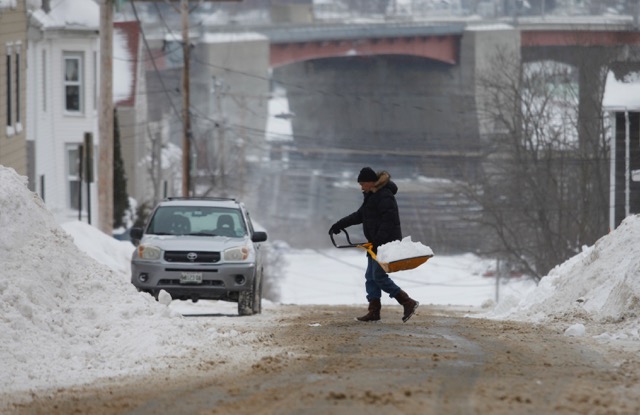
The weekend snowstorm caused plenty of problems in Maine and elsewhere in New England.
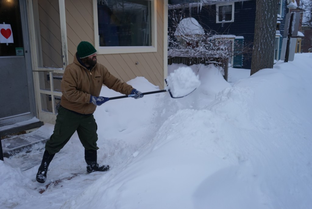
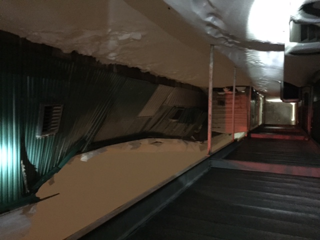
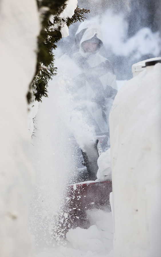
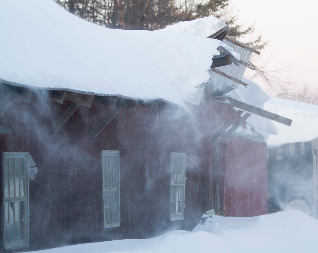
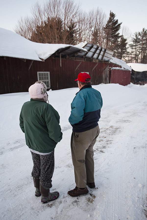
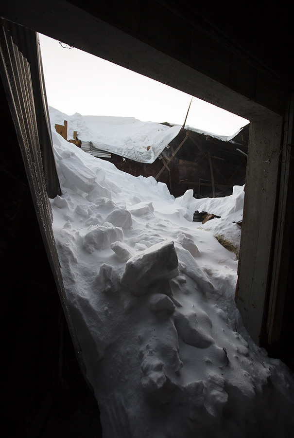
Several buildings collapsed as a result of snow buildup on roofs. Collapses were reported Sunday in York County, New Hampshire and Boston, which recorded 13 inches of new snow.
On Cranberry Meadow Road in Berwick, a barn roof collapsed Sunday afternoon under the weight of snow, trapping several racehorses inside. All of the animals made it out safely.
A barn collapsed in Stoughton, Massachusetts, and 33 horses had to be evacuated, according to the New England Cable News network.
Seacoast Online reported that 215 families were evacuated early Sunday after two roofs partially collapsed at the Patriots Park apartment complex in Portsmouth, New Hampshire.
No one was hurt when the roof of a South Portland warehouse partially collapsed Saturday night.
South Portland Fire Department Lt. Robb Couture said 40 feet of snow on a warehouse roof at 167 Rumery Road collapsed the roof around 9 p.m. Saturday.
Couture said the latest snow was just enough to trigger the collapse, as the weight of the snow buckled the wall of the metal building. The building was empty at the time and no injuries were reported. The building owners were contacted and the utilities were secured, Couture said.
Though no major storm-related accidents were reported, Sunday was not an ideal day to travel for many Mainers.
Maureen Towne, who drove Sunday morning from Kennebunk to Kennebunkport for her job as a police dispatcher, said snow accumulations varied widely on her short commute to work.
“Once I crossed Durrells Bridge onto River Road, you could see the difference,” Towne said.
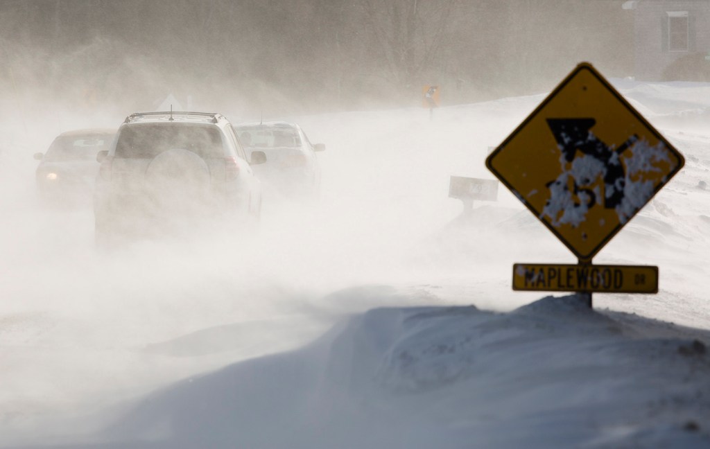
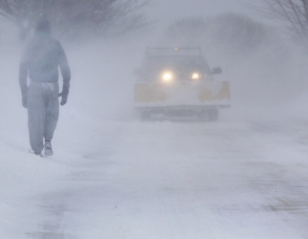
Whiteout conditions from blowing snow triggered a multi-car accident Sunday afternoon in Scarborough, briefly shutting down a portion of Route 1. No one was hurt, a dispatcher said.
Though Portland did not get a lot of snow from the storm, a spokeswoman for the city said a citywide parking ban would remain in effect through 6 a.m. Monday. The ban is necessary to give crews the time and space they need to remove snow from streets and sidewalks.
The storm caused few power outages. By Sunday night, only 21 Central Maine Power customers were without electricity. Emera Maine reported 21 outages Sunday afternoon in its coverage area in northern Maine.
Travel speeds on the Maine Turnpike, lowered to 45 mph during the storm, were returned to normal for the length of the toll highway Sunday afternoon.
Other parts of New England were hit hard, too. Coastal New Hampshire got dumped on, with up to 18 inches falling in North Hampton and 17 inches in Stratham, while the North Shore of Massachusetts was slammed with 20.5 inches in Salisbury and 20 inches in Ipswich. Connecticut picked up 2 to 6 inches across the state. Vermont saw 1 to 4 inches and Rhode Island 8 to 9 inches.
Kistner said the rest of the week is shaping up to be pretty decent, except for Tuesday night, when a coastal storm starts moving toward Maine. Forecasters think the storm will head out to sea and miss Maine, but they can’t be certain.
“We have a chance to see some decent snowfall Tuesday night into Wednesday, but right now we are calling it a miss,” Kistner said.
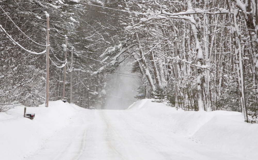
Gusty winds will continue to blow the snow around through Monday morning and wind chills will dip into negative double digits, the weather service in Gray reported.
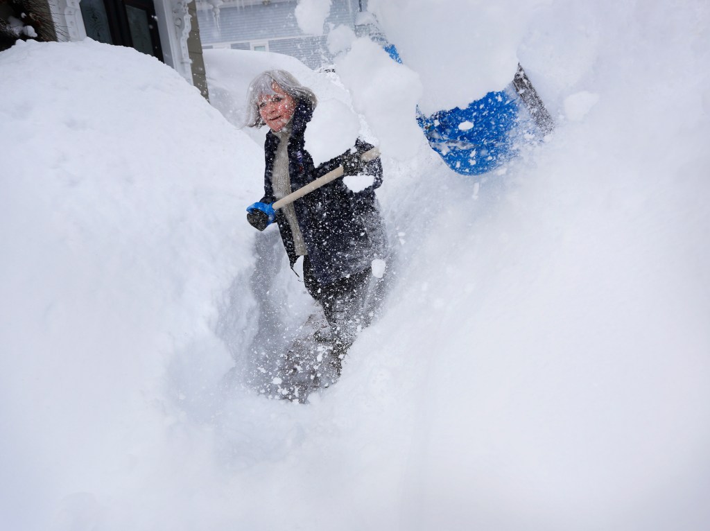
The weather service said the total snowfall amount for the season at the Portland International Jetport as of Sunday was 80 inches. That is above the normal for the season, which is 61.9 inches.
Staff Writer Scott Dolan contributed to this report.
Send questions/comments to the editors.

Success. Please wait for the page to reload. If the page does not reload within 5 seconds, please refresh the page.
Enter your email and password to access comments.
Hi, to comment on stories you must . This profile is in addition to your subscription and website login.
Already have a commenting profile? .
Invalid username/password.
Please check your email to confirm and complete your registration.
Only subscribers are eligible to post comments. Please subscribe or login first for digital access. Here’s why.
Use the form below to reset your password. When you've submitted your account email, we will send an email with a reset code.