

Ten miles north of Hot Springs, North Carolina, the Appalachian Trail reaches an old fire tower atop Rich Mountain at 3,500 feet. It had been on my mind for some time to camp at this spot and that’s just what I did at a delightfully early afternoon hour.
Like so many towers, the large 10-by-10-foot cab was in disrepair, covered with graffiti, and all the windows were missing. Despite these shortcomings, the tower provided 360-degree views and a welcome breeze, and proved to be a wonderful place to relax and rest.
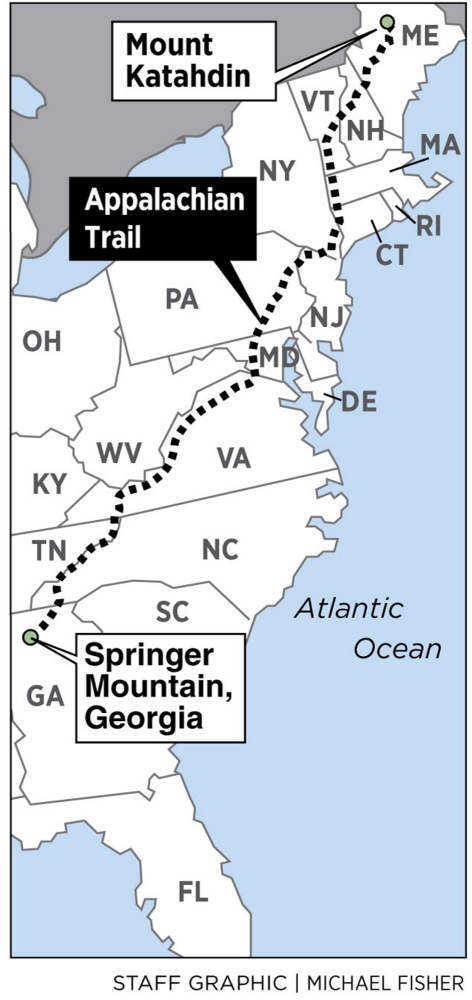
ON THE TRAIL
Follow Carey Kish on his thru-hike of the Appalachian Trail at his blog: mainetoday.com/author/ckish/
I had several parties visit me at the tower during the night, locals out on a Saturday looking for some wee-hour entertainment. I’m not sure who was more surprised, me or them, but we had a few good laughs before they let me get back to sleep.
Early the next morning, however, I awoke in a cloud, with horizontal rain blowing in and soaking my sleeping bag and other gear. In five minutes I was packed and down the steps, charging northward into the storm. So much for my bright idea of fire tower camping. Perhaps next time I’d choose one with windows, or at least pay closer attention to the forecast.
Forty trail miles ahead, the AT climbs 5,500-foot Big Bald, its grassy meadows offering an incredible panorama. I’d hoped for a good day on this peak and got one, but I couldn’t tarry long because of blustery winds howling undeterred from the west. No matter, I enjoyed every step in its big open and on the neighboring slopes of Big Stamp.
North of the Nolichucky River, the trail reaches another impressive array of high peaks, and I had a wonderful afternoon on the open summit of Beauty Spot, and a fine campsite on its north shoulder. But then the weather turned sour and cloaked in thick clouds, I missed the views on Unaka and Roan mountains, as well as Jane and Round balds, enduring several days of cold, soaking rain.
Once again under sunny skies, I was rewarded with a magnificent walk over Little and Big Hump mountains, and reveled in the beauty and wide-open vistas, hiking over terrain that reminded me of New Hampshire’s White Mountains.
Beyond Hump, the trail leaves North Carolina behind, traveling across northeast Tennessee before reaching Virginia. In this section I stopped at the Mountain Harbor Bed and Breakfast, a comfy respite near the trail.
Upon check-in I was presented with a surprise package and trail magic of the finest kind, a 12-pack of Pabst Blue Ribbon. Apparently I’d made quite an impression on some of the nighttime visitors to Rich Mountain fire tower, who’d arranged to have the beer delivered to me at one of my planned stops ahead. Having the trail name “Beerman” has its perks.
Mountain Harbor cooked up the best breakfast of the trip, a monstrous spread that had my belly aching on the hike out. I would remember that meal often as I pushed north through the Pisgah and Cherokee national forests, which soon brought me to Damascus, Virginia, nearly 500 miles from the start.
Smartphones are nearly ubiquitous on the trail. I carry my iPhone to stay in touch with family and friends, most especially my lovely wife at home. Plus the gadget makes it easy to call ahead for hostels and motels, shuttles and such. And as if it makes a difference, I can also check the weather.
In 1977, communication with home was by mail and the occasional call from a pay phone. On such a long journey it’s nice to be connected, and rather than detract, technology has actually enhanced my hike. Even so, I often feel a bit odd standing atop a mountain with phone in hand. Times have changed indeed.
Carey Kish of Mount Desert Island is the author of AMC’s Best Day Hikes Along the Maine Coast. Follow Carey’s AT thru-hike in his Maineiac Outdoors blog at:
mainetoday.com/blog/maineiac-outdoors
Send questions/comments to the editors.

Success. Please wait for the page to reload. If the page does not reload within 5 seconds, please refresh the page.
Enter your email and password to access comments.
Hi, to comment on stories you must . This profile is in addition to your subscription and website login.
Already have a commenting profile? .
Invalid username/password.
Please check your email to confirm and complete your registration.
Only subscribers are eligible to post comments. Please subscribe or login first for digital access. Here’s why.
Use the form below to reset your password. When you've submitted your account email, we will send an email with a reset code.