


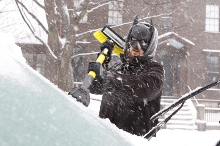
A snowstorm that started just after midnight Friday departed late Saturday afternoon, leaving behind nearly 7 inches of snow in some parts of the state.
In southern Maine, the snow mixed with or changed to sleet and freezing rain for part of the storm, cutting into totals a bit.
The National Weather Service in Gray said its site in that town recorded the most snow in the southern part of the state, with 5.2 inches. Portland had 3.5 inches at the jetport, Wells had 5 inches, and 6 inches fell in South Thomaston. In Down East Maine, Roque Bluffs in Washington County recorded 7 inches of snow, 6.8 inches fell in Eastport and 6.2 inches in Ellsworth.
There’s a chance of more snow Sunday night into Monday morning. The weather services said it should be only an inch or two, although there is a chance of brief but heavy snow showers in southwestern Maine.
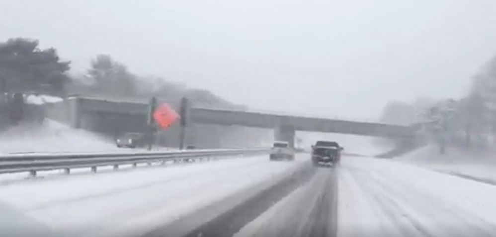
Saturday’s snow caused dozens of slide-offs or minor collisions around the state, but no serious injuries were reported.
The speed limits on the Maine Turnpike and Interstate 295 were lowered to 45 mph for most of the day, but raised back to normal limits early Saturday evening.
Most towns and cities were clearing local roads by the time the sun set Saturday.
Both electric utilities in the state reported small-scale power outages during the day, but customers were back on line Saturday night.
After the chance of snow showers Sunday night and early Monday, the weather service said northwest winds will kick up, lowering temperatures and wind chills. Highs through Wednesday will be in the mid-20s and any snow isn’t expected until next weekend at the earliest.
Check here for closings and cancellations.
Staff Writer J. Craig Anderson contributed to this report.
Send questions/comments to the editors.

Success. Please wait for the page to reload. If the page does not reload within 5 seconds, please refresh the page.
Enter your email and password to access comments.
Hi, to comment on stories you must . This profile is in addition to your subscription and website login.
Already have a commenting profile? .
Invalid username/password.
Please check your email to confirm and complete your registration.
Only subscribers are eligible to post comments. Please subscribe or login first for digital access. Here’s why.
Use the form below to reset your password. When you've submitted your account email, we will send an email with a reset code.