

Many of us love being at the ocean in July. But we also love exploring ponds and rivers in our canoes. Dilemma solved: Load your canoe and head to Wells to explore the Webhannet River. This tidal estuary is protected from the open Atlantic by the barrier beaches of Wells and Drakes Island, and is part of the Rachel Carson National Wildlife Refuge. That means lots of birds.
We enjoyed a meandering four-hour paddle, first south down to Mile Road, then north up into the convoluted fingers of marsh leading to Drakes Island Road. By starting at low tide we enjoyed two distinct experiences.
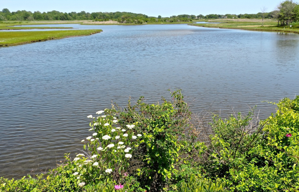
With low water, the grass-topped banking along the river is exposed. Oddly shaped dollops of mud have sloughed off the four-foot high banking over the years, offering a variety of interesting shapes and patterns. We kept the camera busy.
At low tide the main channel has just enough water in it to fully explore north and south from the launch site. We ran aground a few times but were always able to quickly locate deeper water.
At high tide the water is right up to the edge of the grass. In the clear incoming water we could look down along the shoreline at the underwater mud chunks and scalloped banking edges we had enjoyed at eye level hours before. My wife remarked that images of the lost world of Atlantis were coming to mind as we glided over the artistry below.
As you start south from the launch site you will pass a long line of white mooring buoys and string of docks serving the Wells Beach summer community. Don’t be dismayed – you quickly leave this congestion behind and can explore to your heart’s content in relative solitude.
At low water large tracts of sand are exposed in the middle of the river. A few fishermen had waded out and were casting in search of striped bass. On our way back two hours later the sandy island was nearly submerged. A friendly couple cast their lines a few more times, clasped hands and waded the waist-deep water back to the beach near the boat launch. The brilliant turquoise water flowing in above the white sand bottom was dazzling. We have never been to the bonefishing flats off Florida but imagine them to be like this – absolutely beautiful.
Many species of shorebirds call the river home during the summer. Right away we saw an immature loon, followed by cormorants sitting on a string of oyster farm floats. On our left a roseate tern worked the incoming waters along the shoreline. We saw many willets in all parts of the river and marsh. In flight they reveal striking black and white bands that dominate the sky, and their distinctive cries echoed from shore to shore. Up in the northerly marsh we spied an osprey on its nest on a man-made platform out in the open above a carpet of emerging green marsh grasses.
A long row of decaying wharf cribbing sticks out into the water near the osprey nest. These wharves saw heavy use a century ago.
A snowy egret glided low over the marsh and landed 20 yards ahead of us. They know how to style: Their brilliant yellow feet are sharp counterpoint to their black legs. The fashion industry in the 1880s almost did in the snowy egret. Their delicate white plumes were valued at $32 an ounce, double the price of gold at that time.
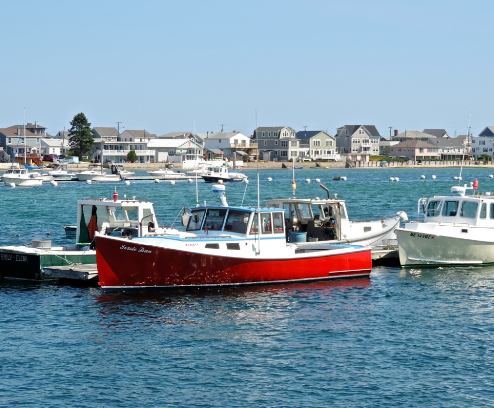
Back out in the mouth of the river off of Drakes Beach we saw many common terns flitting about the various buoys. Many boats were heading out between the impressive granite causeways lining the channel leading out to open water. That is where you do not want to be in a canoe – very busy, very choppy. We rejoiced at the solitude we had just shared with two kayakers up in the northerly marsh. The soothing sound of crashing surf filtered into the protected river through the rows of summer homes along the strand of sand to our east.
You can make this a culinary outing by bringing your credit card with you. Billy’s Chowder House is easily accessible from the water at any tide. Located at the Webhannet River bridge on Mile Road, two miles south of the boat launch, Billy’s has won many awards for its clam chowder.
Hobbs Harborside Restaurant at the boat launch and Fisherman’s Catch, which is 100 yards up the road, are both fine options for seafood.
Consult the Delorme Maine Atlas and Gazetteer (map No. 3) for help in getting to the Webhannet River boat launch at the end of Harbor Road in Wells. Harbor Road is a few yards north of the intersection of Routes 1 and 109. There is plenty of parking at the boat launch, and public restrooms. This is a popular spot on weekends so try to get on the water before 10 a.m.
Michael Perry is the former director of the L.L.Bean Outdoor Discovery Schools and the founder of Dreams Unlimited, specializing in inspiring outdoor slide programs for civic groups, businesses and schools. Contact him at michaelj_perry@comcast.net
Send questions/comments to the editors.

Success. Please wait for the page to reload. If the page does not reload within 5 seconds, please refresh the page.
Enter your email and password to access comments.
Hi, to comment on stories you must . This profile is in addition to your subscription and website login.
Already have a commenting profile? .
Invalid username/password.
Please check your email to confirm and complete your registration.
Only subscribers are eligible to post comments. Please subscribe or login first for digital access. Here’s why.
Use the form below to reset your password. When you've submitted your account email, we will send an email with a reset code.