


Imagine mapping a part of the earth that has never been explored.
A new exhibition at the Osher Map Library in Portland gives visitors an idea of the challenges that early cartographers faced when creating maps of the world before the world had been fully discovered.
Additional Photos
“To the Ends of the Earth and Back,” which opened this week and will remain on view through Feb. 27, begins with the mere concepts of the polar regions, and ends with photos of the South Pole taken when explorers finally reached it early in the 20th century.
The exhibition, made up of images on loan from the Jay I. Kislak Polar Collection in Miami Lakes, Fla., offers lessons in science, exploration and, perhaps memorably, the human spirit. With more than 80 maps, charts, books, photographs and other artifacts, “To the Ends of the Earth” presents a history of the polar regions and the centuries-old quest to map, find and conquer them.
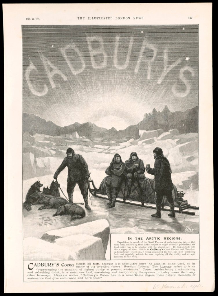
It documents Western exploration to the Arctic and Antarctic, and attempts to gauge that impact on popular culture. When the explorers Amundsen and Scott reached the South Pole in 1911 and 1912, respectively, they were treated as heroes, and their expeditions achieved mythological proportions in pop culture.
Their exploits were chronicled in magazines and newspapers and reflected in books, collecting cards and other memorabilia.
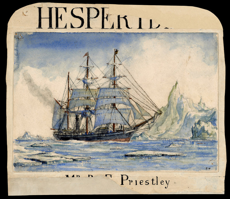
Of particular fascination is a photo album from 1911 showing members of the Scott expedition. They had the foresight to document their journey, and these photos offer a glimpse into what they endured. The Kislak collection includes more than 400 photographs, all of which are available on the Osher Map Library’s website.
“This is really the story of globalization,” said Arthur Dunkelman, director of the Kislak Foundation, who curated the exhibition and spoke about the collection during a stop in Portland earlier this week. “The show aggregates around the central theme of voyage to the poles. Through that, we see the very beginning of mapping and man’s ability to see the world in a different way.”
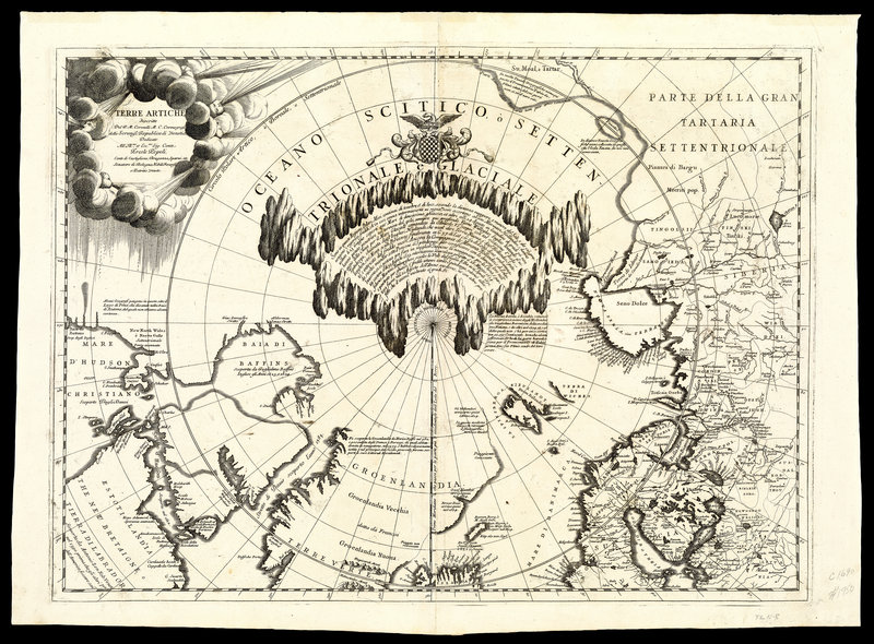
The earliest images in the collection begin with the Greek and Roman concepts of what was known as Terra Incognita, or the unknown land. That was the name given to the polar regions, which were mere concepts, but based on logical assumptions.
The Greeks knew the world was round, Dunkelman said, with regions that were suitable for life, regions not so suitable for life and regions that were unknown. This exhibition begins with early maps from the world’s earliest mapmakers that show the polar regions as “Frigida.”
Beginning with the English explorations of the Northwest and Northeast passages to Asia in the 17th century, a better and more accurate picture begins to emerge, but slowly. The British explorer James Cook made it to the Antarctic on two journeys, in 1768 and 1772, though he never saw the mainland.
But he mapped his route, which he published in the account of his second voyage. A century later, Scott and Amundsen completed the journey.
Yolanda Theunissen, curator of the Osher Map Library, hopes that people take the time to visit the library and explore the images and information available on the website. “I think the website is a beautiful introduction to the subject for a general audience, and we’re always available for group tours for adults and school groups,” she said.
“This is a particularly interesting exhibition, and we hope people come see us.”
Staff Writer Bob Keyes can be contacted at 791-6457 or:
bkeyes@pressherald.com
Twitter: pphbkeyes
Send questions/comments to the editors.

Success. Please wait for the page to reload. If the page does not reload within 5 seconds, please refresh the page.
Enter your email and password to access comments.
Hi, to comment on stories you must . This profile is in addition to your subscription and website login.
Already have a commenting profile? .
Invalid username/password.
Please check your email to confirm and complete your registration.
Only subscribers are eligible to post comments. Please subscribe or login first for digital access. Here’s why.
Use the form below to reset your password. When you've submitted your account email, we will send an email with a reset code.