


Got those snow tires mounted yet? Cleaned out the garage so the car fits? Found your windshield scraper?
Nature served up a reminder for your winter to-do list Sunday morning in the form of black ice on the roads of several southern Maine communities. Dozens of vehicles slid off the roads, but no major injuries were reported.
Additional Photos

“Some parts were impassable,” said Sgt. Thomas Baran of the York Police Department, which closed Route 91 for nearly an hour and Beech Ridge Road for half an hour so salt trucks could treat the roads. “You just couldn’t operate on them, they were so slippery,” he said.
Slick conditions and the slope of the road contributed to an accident in which a York fire engine, responding to an accident, sideswiped a vehicle that had pulled over to let it pass.
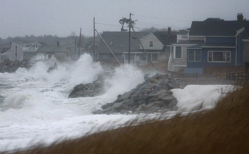
The Maine Turnpike Authority even halted southbound traffic on I-95 at the York toll booths for 15 minutes Sunday morning while trucks spread a mixture of salt and sand over the highway. Northbound traffic on parts of I-95 slowed to 10 mph between 8 and 9 a.m., making for a parade of flashing hazard lights dutifully following the salty spray of a hulking truck.
Rollover accidents were reported in Saco and South Berwick, and a Maine State Police dispatcher said about 10 vehicles slid off I-95, resulting in one minor injury.
Officials in Kittery, Kennebunkport, Scarborough, Sanford and Wells also reported cars sliding off the road. Some needed a tow to continue on their way.
“Luckily, people were going very slow,” Baran said. “We’re very fortunate this wasn’t a Monday morning with a lot of people commuting to work. The traffic was light on a Sunday morning.”
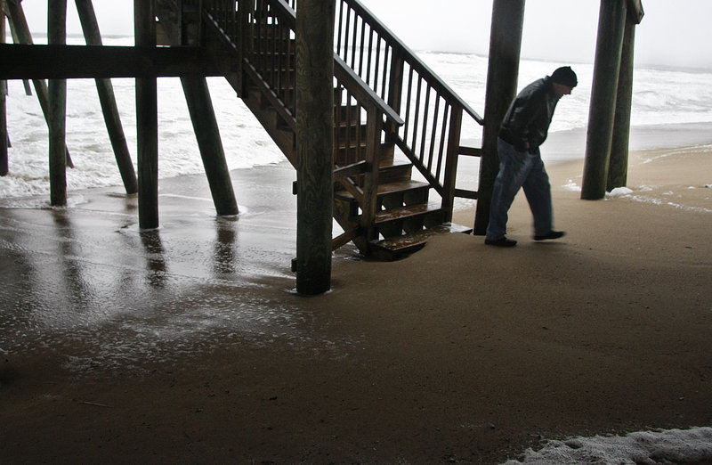
Meteorologist John Cannon of the National Weather Service in Gray said clear skies Saturday night allowed for radiational cooling, so the ground in some parts of the state turned quite cold. Then came a batch of mixed precipitation that included a narrow ribbon of freezing rain that fell for about an hour.
“It was really hit or miss on the potential for icing,” Cannon said. “In some of the areas, the precipitation started as snow. Others, rain. Others went from snow to freezing rain. We had the whole gamut.”
Cannon said he expected the combination of high winds and heavy rain later Sunday to result in power outages. Rain is in today’s forecast, but the winds should dissipate.
“Throughout (this) week,” he said, “we’re looking for temperatures cooling off and scattered snow showers.”
Flooding is another possibility, particularly the Kennebec River from Skowhegan down through Augusta. He said coastal flooding is unlikely because the astronomical tide cycle is ebbing.
“There could be some splash-over in York County,” Cannon said, “but that’s about it.”
And if you still haven’t switched over to snow tires?
This week, he said, “is probably a good time.”
Staff Writer Glenn Jordan can be contacted at 791-6425 or at:
gjordan@pressherald.com
Send questions/comments to the editors.

Success. Please wait for the page to reload. If the page does not reload within 5 seconds, please refresh the page.
Enter your email and password to access comments.
Hi, to comment on stories you must . This profile is in addition to your subscription and website login.
Already have a commenting profile? .
Invalid username/password.
Please check your email to confirm and complete your registration.
Only subscribers are eligible to post comments. Please subscribe or login first for digital access. Here’s why.
Use the form below to reset your password. When you've submitted your account email, we will send an email with a reset code.