

KEY WEST, Fla. – Tropical Storm Isaac barely stirred Florida Keys residents from their fabled nonchalance Sunday, while the Gulf Coast braced for the possibility that the sprawling storm will strengthen into a dangerous hurricane by the time it makes landfall there.
It was on course to strike land on the seventh anniversary of Hurricane Katrina, a powerful storm that crippled New Orleans and the Gulf Coast and became a symbol of government ineptitude.
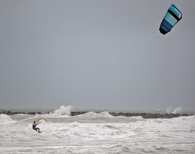
Additional Photos
Forecasters expected Isaac to pass the Keys late Sunday before turning northwest and striking as a Category 2 hurricane somewhere between New Orleans and the Florida Panhandle on Wednesday.
The National Hurricane Center issued a hurricane warning for the northern Gulf Coast from east of Morgan City, La. — which includes the New Orleans area — to Destin, Fla. A Category 2 hurricane has sustained winds of between 96 and 110 mph.
Louisiana Gov. Bobby Jindal called a state of emergency, and officials in St. Charles Parish near New Orleans told its 53,000 residents to leave ahead of the storm. Jindal also said he may skip a speaking engagement later this week at the Republican National Convention in Tampa unless the threat to his state subsides.
Alabama Gov. Robert Bentley has canceled his trip to the convention because of Isaac, and Florida Gov. Rick Scott also gave up his speaking engagement.
Elected leaders’ vigilance toward tropical storms has heightened in the seven years since Katrina struck. More than 1,800 people died, there were 53 levee breaches and the federal government was viewed as unprepared to handle the aftermath. Criticism was leveled at officials reaching all the way to the White House.
An emergency declaration was also issued in Mississippi by Gov. Phil Bryant amid concerns of storm surge threatening low-lying areas. Oil companies began evacuating workers from offshore oil rigs and cutting production in advance of Isaac.
The storm was on a course to pass west of Tampa, but it had already disrupted the Republicans’ schedule there because of the likelihood of heavy rain and strong winds that extended more than 200 miles from its center.
Even before reaching hurricane strength, Isaac caused considerable inconvenience, with more than 550 flights canceled at Miami International Airport and about 150 from Fort Lauderdale’s airport. Scattered power outages from Key West to Fort Lauderdale affected more than 16,000 customers, and flooding occurred in low-lying areas.
Scott said at a news conference Sunday evening that only minor damage was reported from Isaac.
Wind gusts of 60 mph were reported as far north as Pompano Beach, north of Fort Lauderdale. But while officials urged residents in southeast Florida to stay home, that recommendation was ignored by surfers and joggers on Miami Beach and shoppers at area malls.
In Key West, Emalyn Mercer rode her bike while decked out with a snorkel and mask, inflatable armbands and a paddle, just for a laugh. She rode with Kelly Friend, who wore a wet suit, dive cap and lobster gloves.
“We’re just going for a drink,” Mercer said.
“With the ones that are brave enough like us,” Friend added.
Along famed Duval Street, many stores, bars and restaurants closed, the cigar rollers and palm readers packed up, and just a handful of drinking holes remained open.
But people posed for pictures at the Southernmost Point, while at a marina Dave Harris and Robyn Roth took her dachshund for a walk and checked out boats rocking along the waterfront.
“Just a summer day in Key West,” Harris said.
Farther up the coast, Edwin Reeder swung by a gas station in Miami Shores — not for fuel, but drinks and snacks.
“This isn’t a storm,” he said. “It’s a rainstorm.”
With a laugh, Reeder said he has not stocked up aside from buying dog and cat food.
The forecast, however, wasn’t funny. Isaac was expected to draw significant strength from the warm, open waters of the Gulf of Mexico, but there remained much uncertainty about its path.
Hurricane center forecasters are uncertain of the storm’s path because two of their best computer models now track Isaac on opposite sides of a broad cone. One model has Isaac going well west and the other well east. For the moment, the predicted track goes up the middle.
Send questions/comments to the editors.

Success. Please wait for the page to reload. If the page does not reload within 5 seconds, please refresh the page.
Enter your email and password to access comments.
Hi, to comment on stories you must . This profile is in addition to your subscription and website login.
Already have a commenting profile? .
Invalid username/password.
Please check your email to confirm and complete your registration.
Only subscribers are eligible to post comments. Please subscribe or login first for digital access. Here’s why.
Use the form below to reset your password. When you've submitted your account email, we will send an email with a reset code.