


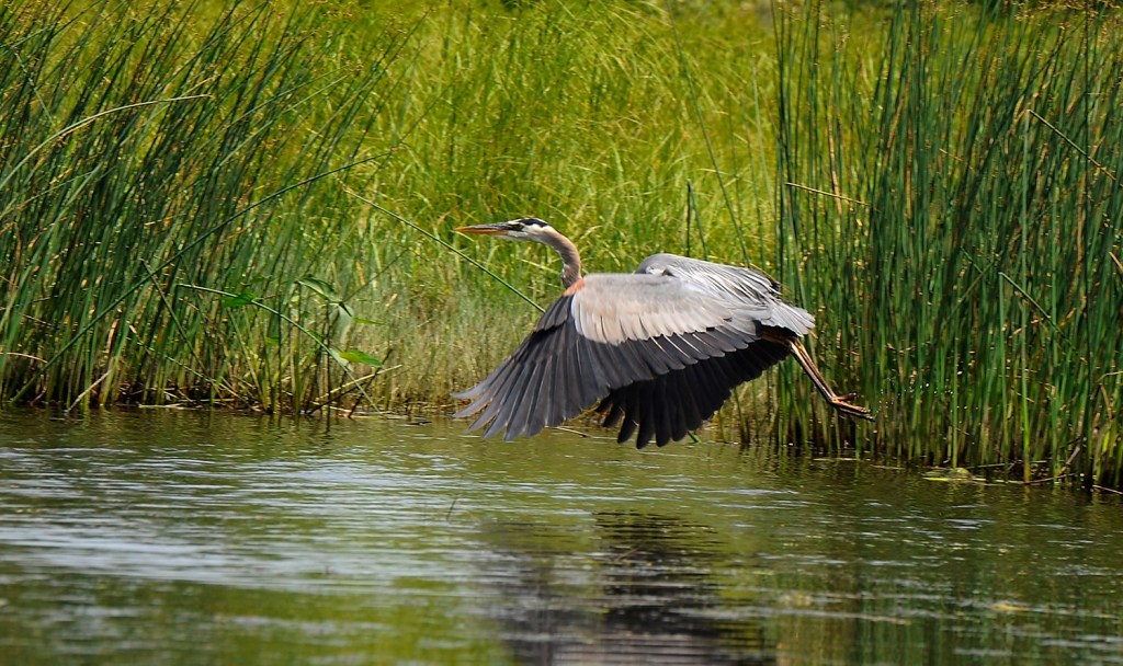
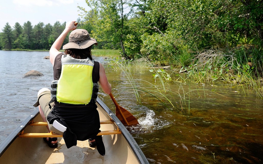
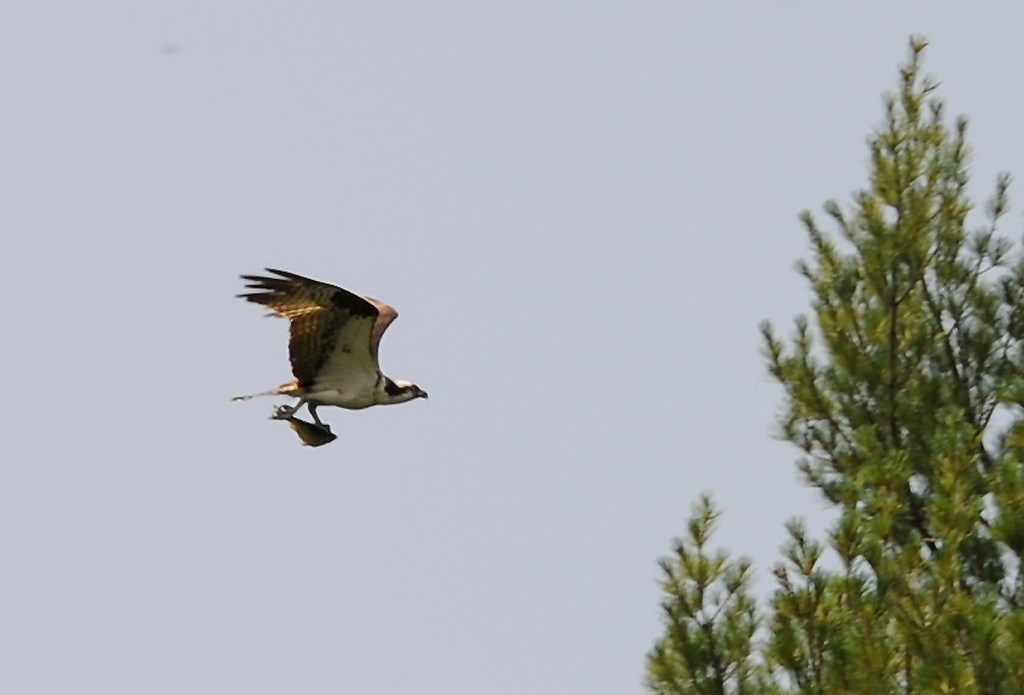
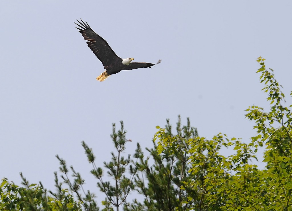
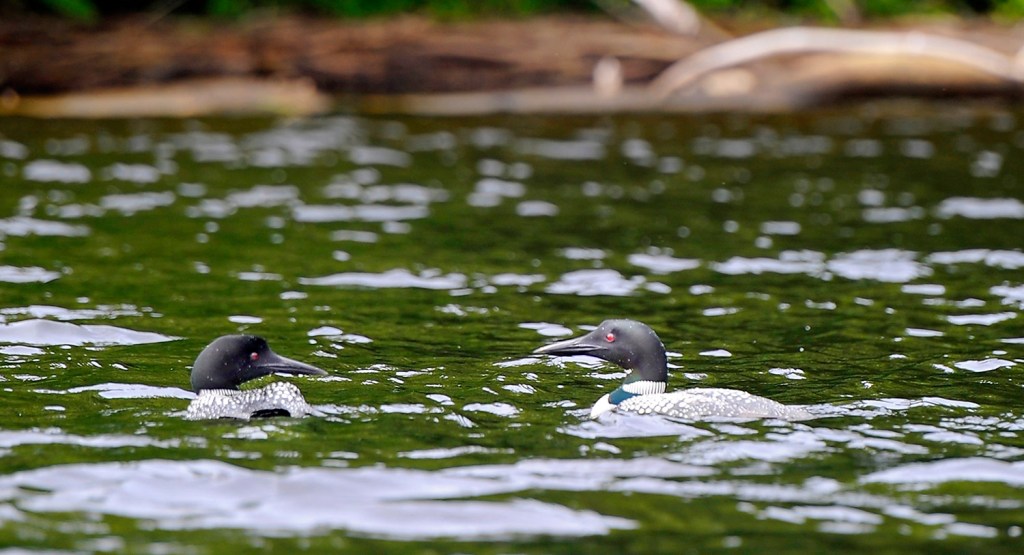


TURNER — Imagine taking a canoe trip in Maine that passes undeveloped land with no signs of life except a bald eagle, a blue heron, a pair of loons and an osprey.
Such images bring to mind the Allagash Wilderness Waterway, the West Branch of the Penobscot River or maybe the Fish River in Aroostook County.
And believe it or not, a site just 10 minutes outside Auburn.
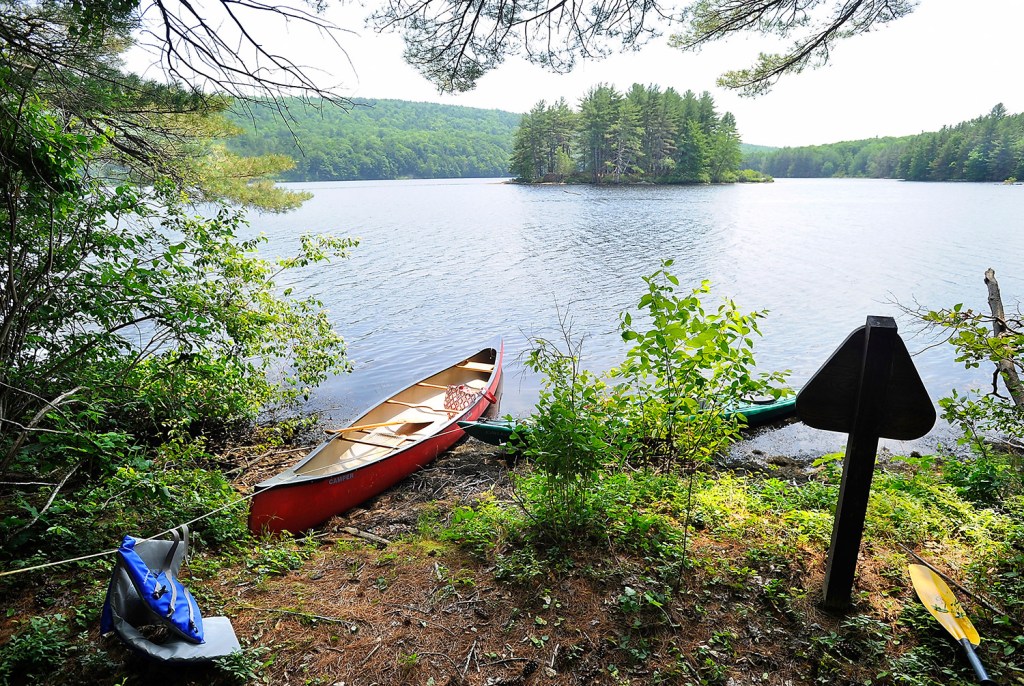
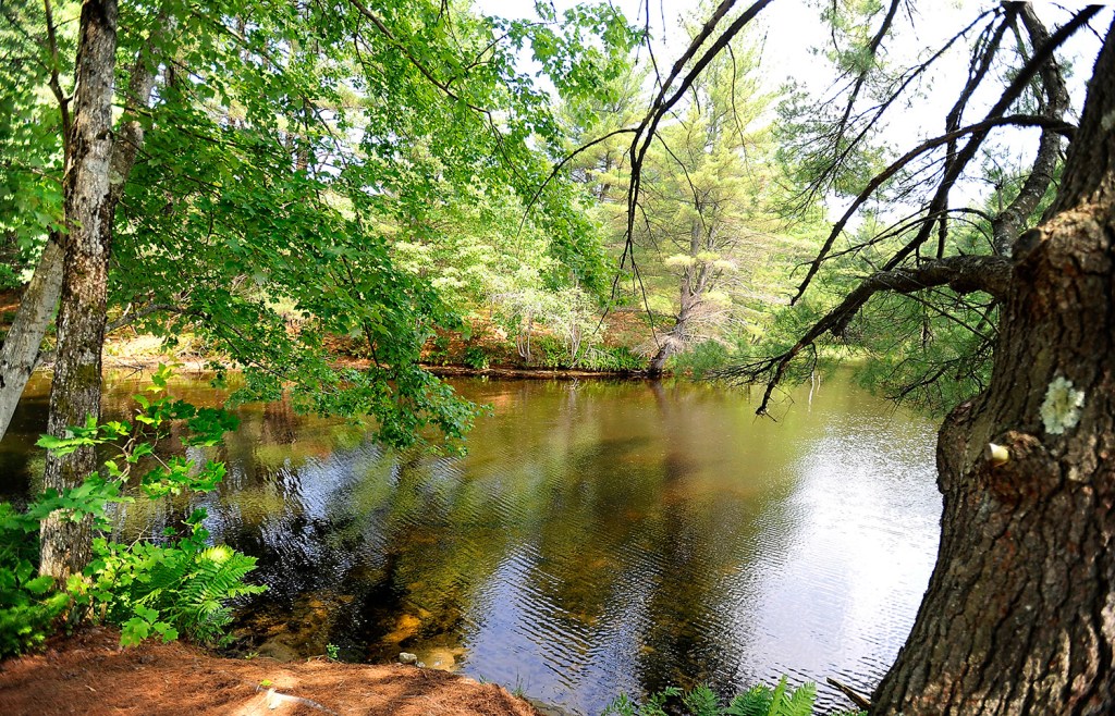
Androscoggin Riverlands, Maine’s newest state park, offers 12 miles of river frontage among its 2,700 acres. The park, which opened five years ago, remains little used during the week – and there’s not much more activity on weekends, according to park manager Adam McKay.
“People from Lewiston or Auburn who are timid to go to Moosehead Lake or up north, they can go here and feel like they are far outside the city. They can travel 20 minutes and feel they are up in northern Maine,” he said.
“Even though we manage it under the Bureau of Parks and Lands we make sure to keep the wilderness experience.”
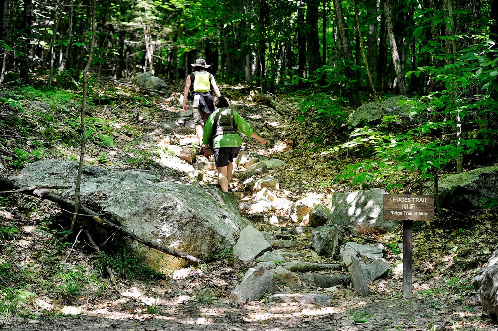
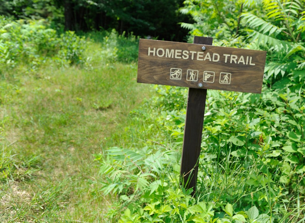
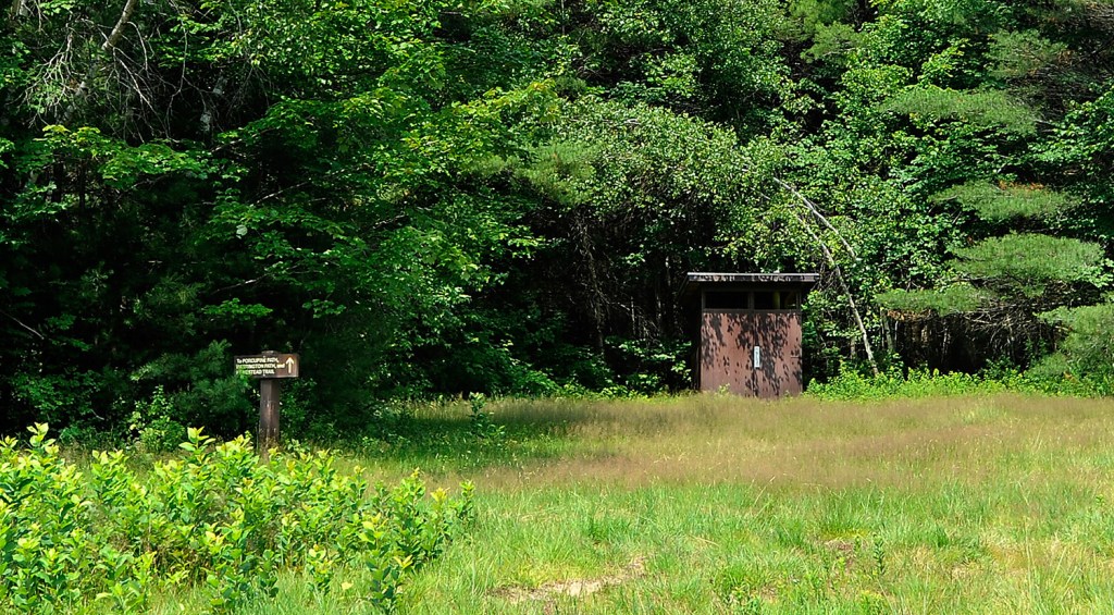
But McKay is hoping more folks venture to the park, especially since signs have been posted along the 22 miles of trails in the past month. The rustic signs mark about 75 percent of the trail network, McKay said.
“Even if they had a map before with no signs, people might worry about getting lost,” McKay said. “Hopefully with the signs they’ll realize it’s not a scary place.”
The multi-use trail system includes an ATV corridor, the single-track mountain bike trails and hiking paths. Stone steps also were built in two places to connect trails.
While Maine’s many state parks are varied and unusual, McKay said the Riverlands’ remote feel so close to a city makes it unique.
“You can get lost in the Riverlands,” said Frank Jalbert, co-owner of Busytown Bikes in Lewiston, who leads mountain bike rides in the park once a week.
“We’ve brought a few (mountain bike) people here for the first time and if they’re not on the main trail, they don’t even know where they are. If you’re there at night, you feel so deep in the woods, if you got lost, you could be in trouble. And yet it’s 18 miles from our shop.”
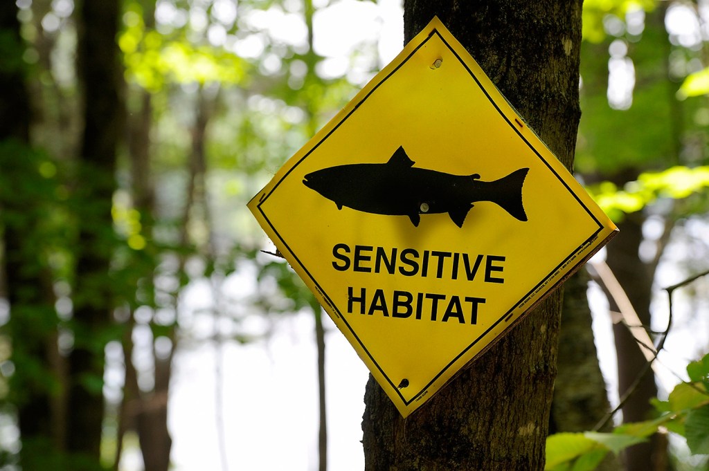
The terrain is covered by thick woods with steep hills and large boulders. Eight old foundations show the community that existed here before 1927 when the Gulf Island Dam was built, creating Gulf Island Pond and flooding the land along the river.
“It’s challenging terrain,” Jalbert said. “It’s got good hills. It’s really more intermediate to advanced (mountain-bike) riding. The hikers we run into can’t believe we’re riding this stuff.”
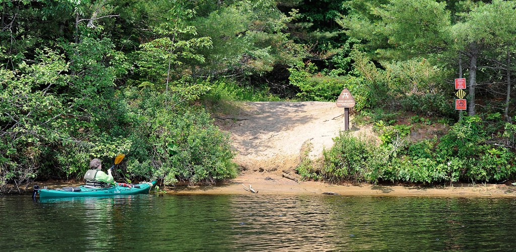
The park’s two water landings now also have signs alerting paddlers to where they can safely anchor their canoes and kayaks. Although McKay notes those landings can be tough to find in the thick overgrowth.
“If you’re not going that fast and you’re paying attention along the shoreline, you’ll see them,” McKay said. “I think signing the trails will be paramount to people feeling more comfortable here.”
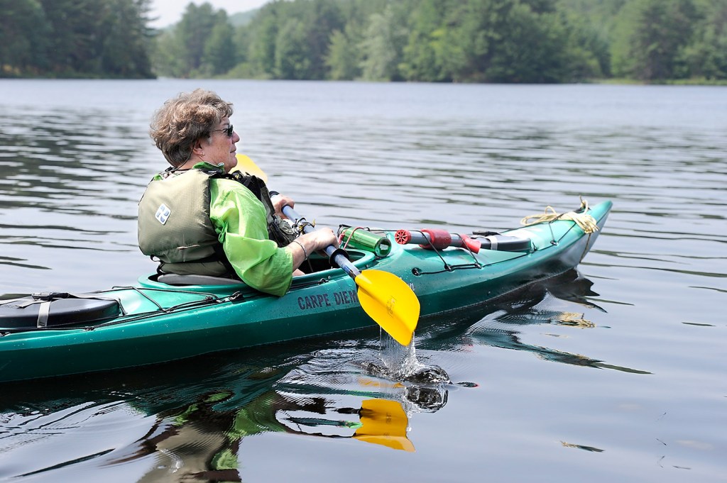
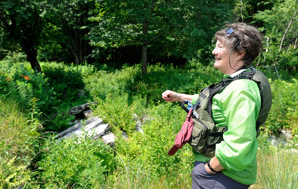
Judith Marden is a board member of the Androscoggin Land Trust, which helped the state acquire land along the river for the park. She led a three-hour paddle in Riverlands earlier this month. The only signs of life she saw could be counted on two hands: the paddling team she led, the float plane pilot who waved his wing at her, a pair in a motor boat who appeared at the end of the journey – and all those wild birds.
“There’s emotional attachment to this park. It’s very quiet,” Marden said.
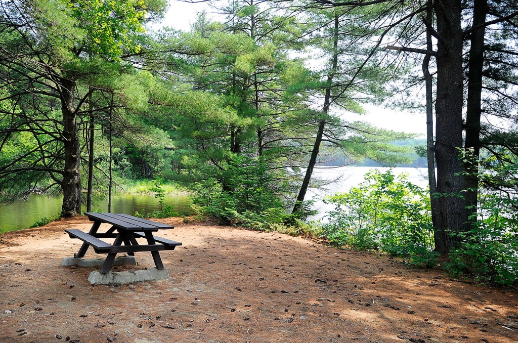
There is no gate fee at the Riverlands, making it seem more like a public reserve than a state park. The idea, McKay said, is to keep the Riverlands State Park a place with a very far-away feel.
“We’ve decided at this point, there are not going to be (fee collection kiosks). It makes (the park) unique,” he said.
Send questions/comments to the editors.

Success. Please wait for the page to reload. If the page does not reload within 5 seconds, please refresh the page.
Enter your email and password to access comments.
Hi, to comment on stories you must . This profile is in addition to your subscription and website login.
Already have a commenting profile? .
Invalid username/password.
Please check your email to confirm and complete your registration.
Only subscribers are eligible to post comments. Please subscribe or login first for digital access. Here’s why.
Use the form below to reset your password. When you've submitted your account email, we will send an email with a reset code.