

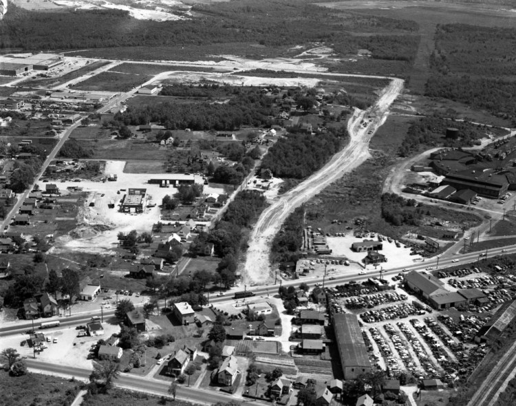
An aerial photograph from the July 13, 1960, Portland Evening Express shows the construction of Rumery Street in South Portland’s Cash Corner neighborhood. Route 1 (Main Street) is visible at the bottom of the photograph.
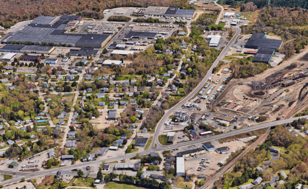
Today, the Hannaford distribution warehouses (visible in the upper left of the modern day Google Earth view) dominate the neighborhood.
 Google Earth image
Send questions/comments to the editors.
Related Stories

Latest Articles
Success. Please wait for the page to reload. If the page does not reload within 5 seconds, please refresh the page.
Enter your email and password to access comments.
Hi, to comment on stories you must . This profile is in addition to your subscription and website login.
Already have a commenting profile? .
Invalid username/password.
Please check your email to confirm and complete your registration.
Only subscribers are eligible to post comments. Please subscribe or login first for digital access. Here’s why.
Use the form below to reset your password. When you've submitted your account email, we will send an email with a reset code.