

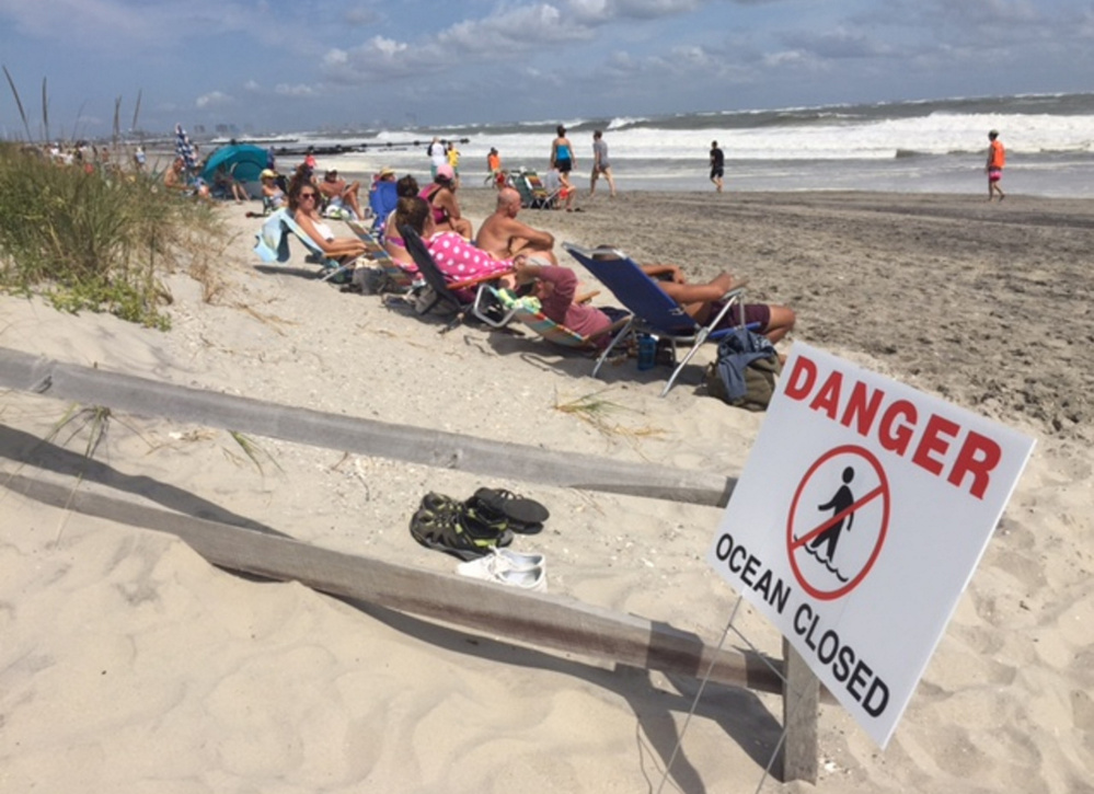
NORFOLK, Va. — Hermine spun away from the East Coast on Sunday, removing the threat of heavy rain but maintaining enough power to whip up dangerous waves and rip currents and keep beaches off-limits to disappointed swimmers and surfers during the Labor Day weekend.
As it churned hundreds of miles off shore in the Atlantic Ocean, the system picked up strength, and forecasters said it could regain hurricane force later as it travels up the coast. It was expected to stall over the water before weakening again to a tropical storm by Tuesday.
“It’s just going to meander for a few days,” said Dennis Feltgen of the National Hurricane Center, explaining that Hermine was unlikely to make landfall again but was positioned to batter the coast with wind and waves.
Governors all along the Eastern Seaboard announced emergency preparations. Tropical storm watches and warnings were in effect from Virginia to Massachusetts, with special concern focused on New Jersey and Delaware, where Rehoboth Beach could experience gusts up to 50 mph and life-threatening storm surges during high tide late Sunday and into Monday.
On the Virginia Beach boardwalk, the Atlantic Ocean roared with uncharacteristically large waves, drawing only a couple of surfers into the choppy white water.
Tropical storm-force winds were possible Monday in New Jersey. Gov. Chris Christie warned that minor to moderate flooding was still likely in coastal areas and said the storm will cause major problems, even as it tracks away from land.
“Don’t be lulled by the nice weather,” Christie said, referring to the bright sunny skies along the Jersey Shore on Sunday. “Don’t think that nothing is going to happen, because something is going to happen.”
New York City planned to close its beaches Monday because of rip currents, and the ban could extend into Tuesday.
Long Island authorities urged people to evacuate the summer getaway known as Fire Island to avoid any storm surge and coastal flooding. Emergency officials warned that anyone who stays will not be able to leave after ferries shut down Sunday evening.
Hermine rose up over the Gulf of Mexico and hit Florida on Friday as a Category 1 hurricane before weakening to a tropical storm across Georgia.
It has caused two deaths, inflicted widespread property damage and knocked out power to hundreds of thousands of people from Florida to Virginia.
At 5 p.m. Sunday, Hermine’s top sustained winds were steady at 70 mph. The storm was centered about 335 miles east of Ocean City, Maryland.
Send questions/comments to the editors.

Success. Please wait for the page to reload. If the page does not reload within 5 seconds, please refresh the page.
Enter your email and password to access comments.
Hi, to comment on stories you must . This profile is in addition to your subscription and website login.
Already have a commenting profile? .
Invalid username/password.
Please check your email to confirm and complete your registration.
Only subscribers are eligible to post comments. Please subscribe or login first for digital access. Here’s why.
Use the form below to reset your password. When you've submitted your account email, we will send an email with a reset code.