


Temperatures Saturday didn’t climb above freezing across southern Maine for the first time since last March. You’d have to go back to March 4 to find a day when the mercury failed to reach 32 degrees and, if you are curious, all the way back to Valentine’s Day weekend to find a day when it was really a lot colder than today. (The high Feb. 14 was only 12 in Portland.)
You’ve likely heard about some snow for Monday, and it is still coming. It’s far from a major storm, but many towns will be plowing for the first time.
The National Weather Service has issued a winter storm watch for Sunday night and Monday.
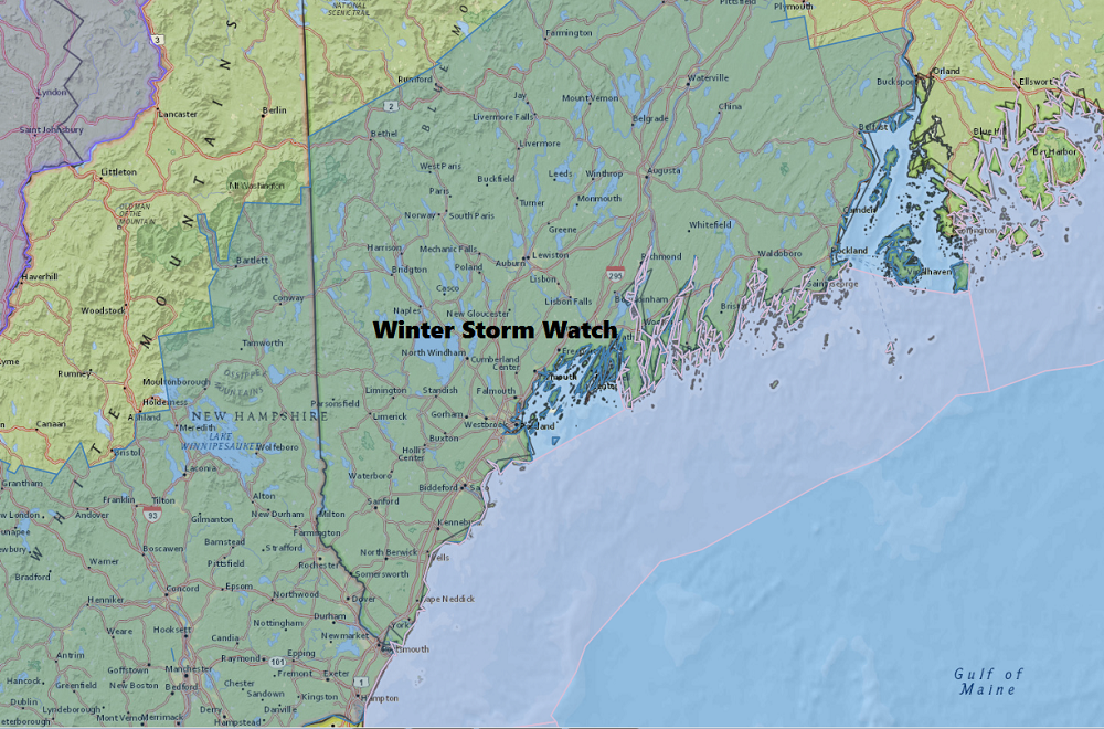
Late Saturday a winter storm watch was issued for much of southern and central Maine.
TIMING OF THE SNOW
At the moment, it appears snow will start across the area Sunday evening. The snow will continue into early Monday morning before mixing with or changing to rain along the coastline.
This will end up a more typical snowfall pattern, with the heaviest amounts inland and a change to rain over the immediate coastal towns, especially within a mile or two of the water.
Most if not all areas begin as snow, but the rain/snow line will push inland along coast early Monday. This will put an end to the accumulating snow as the change to rain occurs.
The snow will change to rain between 9 a.m and 1 p.m from the southeast to the northwest. The exact time of the change will determine how much snow each area receives. This is the biggest challenge to the forecast.
If the rain/snow line stays off the coast, Portland would get 4 to 6 inches of snow. However, if the rain line moves inland farther and faster, those amounts will be cut by at least half, if not more.
It’s a very tough call currently and I will have a better handle on this Sunday with another update.
EFFECT ON TRAVEL
Based on the timing of the snow, this storm coul have a moderate to great effect on travel. Last Monday, travel was slowed by some snow and I expect a similar if not worse situation with this storm. It doesn’t take a lot of snow to cause big delays if the timing is during a commute.
Air travel at the Portland International Jetport will be affected and some schools could be delayed or canceled Monday. Do your homework anyway.
SNOW TOTALS
The map below gives you an idea of how much snow to expect. Notice there is a gradient of totals with ranges. You should plan for the possibility of receiving snow at either end of the range. Also, I will update the map Sunday to refine it. If the cold air hangs on longer, then these numbers would increase, and, of course, if the rain moves in faster, then the numbers decrease.

There’s likely to be a plowable amount of snow Sunday night and Monday.
Behind this system things look tranquil and seasonably cold for the middle of the week. There will be some melting during the day, but you should still try to get up as much of the snow and slush as possible. The low angle of the sun prevents a lot of melting this time of year.
ARCTIC AIR
A mass of very cold air for mid-December arrives later next week. Temperatures will likely fall into the single numbers in much of the area with below-zero readings up north.
Follow Dave Epstein’s Updates during the storm on Twitter @growingwisdom
Send questions/comments to the editors.

Success. Please wait for the page to reload. If the page does not reload within 5 seconds, please refresh the page.
Enter your email and password to access comments.
Hi, to comment on stories you must . This profile is in addition to your subscription and website login.
Already have a commenting profile? .
Invalid username/password.
Please check your email to confirm and complete your registration.
Only subscribers are eligible to post comments. Please subscribe or login first for digital access. Here’s why.
Use the form below to reset your password. When you've submitted your account email, we will send an email with a reset code.