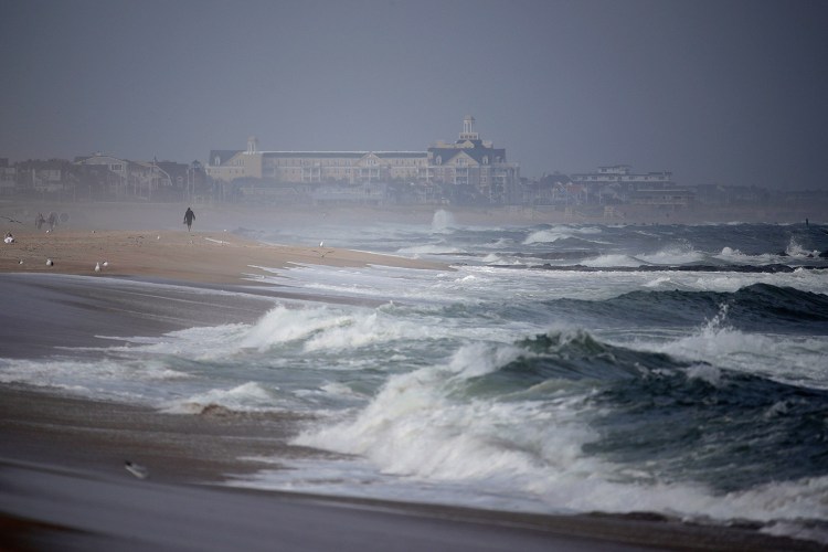
FORT LAUDERDALE, Fla. — As Tropical Storm Jose continues to circle in the Atlantic, posing minimal threat to land, a pair of rough-weather patches off the African coast are just two more indications that while Irma might be over, hurricane season is not.
“The peak of the hurricane season is mid-August through late October, and conditions remain favorable across the Atlantic basin for systems to form and strengthen,” said National Hurricane Center spokesman Dennis Feltgen.
Mexico, meanwhile, was being threatened by two storms in the Pacific, Max and Norma.
Both potential Atlantic systems are far out at sea and have a medium chance of formation over the next five days, according to the Miami-based National Hurricane Center.
The one closer to the Caribbean has a 60 percent chance of formation over the next five days while the one closer to Africa has a 40 percent chance, hurricane specialists said.
It’s too early to determine what impacts, if any, either would have.
Hurricane Center forecasters downgraded Jose from a hurricane to a tropical storm on Thursday, but said it is expected to restrengthen to a hurricane by the weekend. Jose was 435 miles northeast of the Bahamas moving northwest at 7 mph with winds of 70 mph.
The two areas of storms and clouds, meanwhile, are showing early signs of becoming typical, peak hurricane-season storms. Called Cape Verde storms, these cyclones form from winds blowing off the African coast – often near the Cape Verde Islands, the Atlantic’s hurricane incubator.
After forming in the far Atlantic they march westward toward the Caribbean, gathering strength as they make the dayslong journey. Once in the vicinity of the Caribbean, they tend to turn north toward the United States.
“A common track runs from the far eastern Atlantic toward and onto the U.S.,” Feltgen said.
Many of the most devastating major hurricanes on record have been Cape Verde hurricanes: Andrew in 1992, Katrina in 2005 and Matthew in 2016.
So far this has been a busier-than-usual hurricane season.
“Remember 2004 and 2005? Florida was hit with several hurricanes in each of those years, including Wilma in October 2005,” Feltgen said. “We still have 2 1/2 months to go in the hurricane season, so it is important to remain vigilant and prepared.”
Hurricane Max made landfall on Mexico’s southern Pacific coast Thursday and is forecast to move inland along the coast of Guerrero state, a region that includes the resort city of Acapulco.
The center said Max should weaken as it moves over land but could bring life-threatening flash floods and rainfall to Guerrero and Oaxaca states.
Max had maximum sustained winds of 80 mph, was located about 55 miles east-southeast of Acapulco and was heading toward the east at 8 mph, the hurricane center reported.
Tropical Storm Norma formed far off Mexico’s western Pacific coast and is expected to gain strength and move toward the resort-studded Baja California Peninsula.
The storm had winds of 40 mph and was moving north at 5 mph.
On that track Norma could be at hurricane strength just west of Los Cabos by Monday.
Copy the Story LinkSend questions/comments to the editors.


Success. Please wait for the page to reload. If the page does not reload within 5 seconds, please refresh the page.
Enter your email and password to access comments.
Hi, to comment on stories you must . This profile is in addition to your subscription and website login.
Already have a commenting profile? .
Invalid username/password.
Please check your email to confirm and complete your registration.
Only subscribers are eligible to post comments. Please subscribe or login first for digital access. Here’s why.
Use the form below to reset your password. When you've submitted your account email, we will send an email with a reset code.