Hurricane Florence has rapidly intensified on its path toward the East Coast and is now a Category 4 with 140-mph winds, the National Hurricane Center said Monday. The storm could soon be on the brink of a Category 5.
“None of the guidance suggest that Florence has peaked in intensity,” the Hurricane Center said, predicting that its peak winds will reach 155 mph Tuesday, just 2 mph shy of Category 5. It expected to issue hurricane watches for parts of the Southeast and mid-Atlantic coast Tuesday morning.
Not only has the storm exploded in intensity, but its zone of hurricane-force winds approximately doubled in size Monday.
Computer-model forecasts generally project the storm to make landfall between northern South Carolina and North Carolina’s Outer Banks as a Category 4 on Thursday, although shifts in the track are possible and storm impacts will expand great distances beyond where landfall occurs. Given the uncertainty and time it takes to evacuate, officials in North Carolina have issued mandatory evacuation orders for Dare County and Hatteras Island.
The Hurricane Center is warning of an “extremely dangerous” triple threat in the Carolinas and Virginia:
– A “life-threatening storm surge” at the coast – a rise in ocean water over normally dry land.
– “Life-threatening freshwater flooding from a prolonged and exceptionally heavy rainfall event” from the coast to interior sections.
– “Damaging hurricane-force winds” at the coast as well as some distance inland.
Like Hurricane Harvey, which stalled over Texas in 2017, Florence could linger over the Southeast for several days after landfall. Forecast models suggest that more than two feet of rain could fall over the higher elevations of the Carolinas and Virginia, which would generate dangerous flooding downstream. The flooding might be similar to what the Carolinas experienced during Hurricane Matthew in 2016.
As of 5 p.m. Monday, Florence was tracking west-northwest at 11 mph just less than 1,200 miles east-southeast from Cape Fear, North Carolina.
If Florence makes landfall as a Category 4 in North Carolina, it will be the strongest storm to come ashore that far north on record.
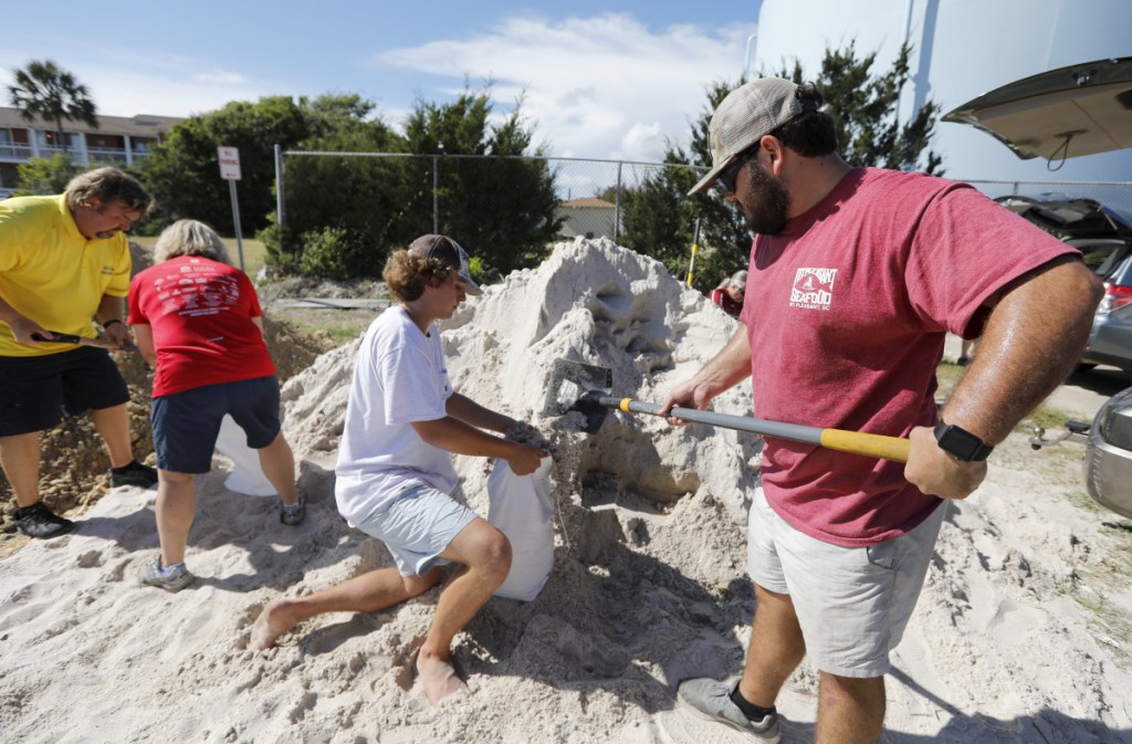
Residents along the Southeast and mid-Atlantic coasts should continue to prepare for a major hurricane landfall and have an evacuation plan. In those coastal areas, heavy surf and elevated water levels are expected to arrive by Wednesday morning, and rainfall could begin by Thursday morning.
Tropical-storm-force winds could reach the coastline as early as Wednesday night, at which point all outdoor preparations should be completed. Extremely dangerous hurricane-force winds could batter coastal locations Thursday into Friday. Hurricane-to-tropical-storm-force winds could extend inland, depending on the storm’s track.
Models have come into agreement that a northward turn before reaching the United States is unlikely and that a building high-pressure zone north of the storm will cause it to slow or stall once it reaches the coast or shortly thereafter. Rainfall could begin Friday or Saturday and continue into next week. Where exactly the zone of heaviest rain will be is a big uncertainty. It could reasonably occur anywhere between the mountains and the coast.
If the storm stalls, some areas could see feet of rain, especially if downpours focus over the higher terrain in western North Carolina and southwestern and central Virginia.
This region will be particularly susceptible to flooding because of far-above-normal rainfall in the region since May. In addition, because the ground is likely to be saturated, trees will be vulnerable in strong winds.
Parts of the mid-Atlantic region, especially from Virginia to Pennsylvania, have received 150 to 300 percent of their normal rainfall since May.
Farther north into the Delmarva Peninsula, residents of New Jersey, Pennsylvania and New York and coastal and inland areas should also monitor the storm and prepare in case the forecast shifts to the north and east.
Where the storm makes landfall has implications for where the strongest winds and biggest rise in water at the coast occurs, but strong winds and extreme rainfall could occur at great distances from the landfall location. Here is the likelihood of landfall based on an evaluation of model data: 70 percent in the Carolinas, 10 percent between Virginia and New York, 10 percent offshore and 10 percent between northern Florida and Georgia
Even if the storm center remains just offshore, it will almost certainly come close enough to bring dangerous wind and flooding to coastal areas.
Send questions/comments to the editors.


Success. Please wait for the page to reload. If the page does not reload within 5 seconds, please refresh the page.
Enter your email and password to access comments.
Hi, to comment on stories you must . This profile is in addition to your subscription and website login.
Already have a commenting profile? .
Invalid username/password.
Please check your email to confirm and complete your registration.
Only subscribers are eligible to post comments. Please subscribe or login first for digital access. Here’s why.
Use the form below to reset your password. When you've submitted your account email, we will send an email with a reset code.