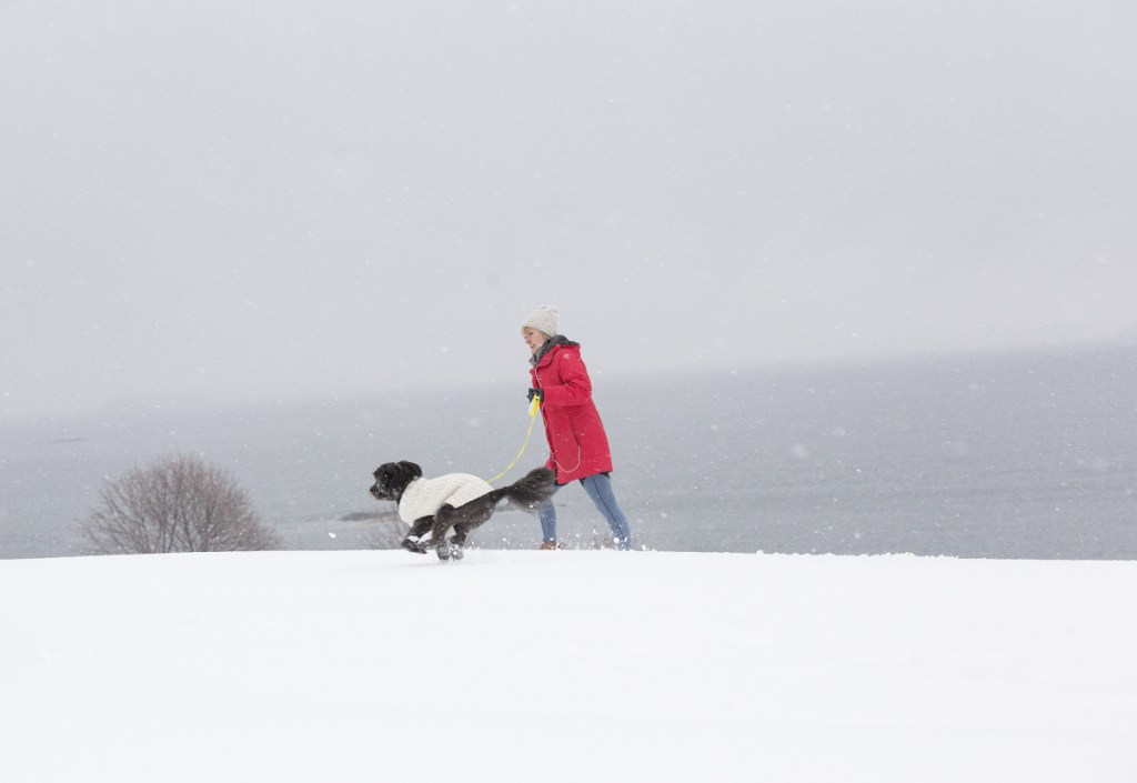
An ocean storm dumped heavy, wet snow along Maine’s coastal regions Monday morning, causing minor slide-offs and spin-outs during the morning commute before clearing out in time for the afternoon rush hour.
Traffic was slow across southern Maine in the morning as police and tow trucks helped motorists who lost control or got stuck.
“Nothing major, just lots of vehicles off the road,” a Cumberland County dispatcher said.
James Brown, a meteorologist with the National Weather Service in Gray, described the ocean storm, which grazed Maine’s coast, as a huge system.
“If it had come much closer, we would have been buried,” Brown said Monday evening.
Instead, coastal towns and cities bore the brunt of the storm, with South Portland claiming title to the highest snowfall amount at 5.3 inches.
The Portland Jetport got 4.3 inches; Falmouth, 3 inches; Biddeford, 4 inches; Hallowell, 3 inches; Lewiston, 3 inches; and Farmington 1.5 inches, the National Weather Service said.
Snowfall amounts were expected to be higher in northern and Down East sections of Maine, with forecasters calling for 6 to 10 inches in some areas.
Brown said Tuesday’s weather looks like it will produce much colder temperatures accompanied by powerful wind gusts in Portland and surrounding areas. The highs along the coast will reach the mid 20s while the highs in the mountains will fall into the teens, Brown predicted.
Wednesday’s forecast for the Portland area is calling for warmer temperatures, and by Friday Portland will start to see a steady rain.
Staff Writer Dennis Hoey contributed to this report.
Copy the Story LinkSend questions/comments to the editors.


Success. Please wait for the page to reload. If the page does not reload within 5 seconds, please refresh the page.
Enter your email and password to access comments.
Hi, to comment on stories you must . This profile is in addition to your subscription and website login.
Already have a commenting profile? .
Invalid username/password.
Please check your email to confirm and complete your registration.
Only subscribers are eligible to post comments. Please subscribe or login first for digital access. Here’s why.
Use the form below to reset your password. When you've submitted your account email, we will send an email with a reset code.