


AUGUSTA — Consider the alarm sounded for riverfront central Maine towns this spring – weather officials say flood risks are above average this year.
The River Flow Advisory Commission – comprised of representatives from the National Weather Service, U.S. Geological Survey, and state and local emergency management agencies – met at the Department of Public Safety building Thursday to review data collected this winter and how it would affect floodplains. At the end, officials reached the conclusion that flood risks are “above normal.”
Bob Lent, associate director of hydrological surveys in Maine for the USGS, said stream flow, water density in packed snow, ice thickness and water levels in basins are all above average for this time of year. Compounding that with colder-than-normal weather and high snowfalls, springtime melt in northern and central parts of the states will cause a large quantity of water to enter streams and rivers.
“It is safe to say, (flood risk) is … higher than normal for the spring period,” Lent said. “If you have high density (snow) layers, there could be even more … than we’re predicting.”
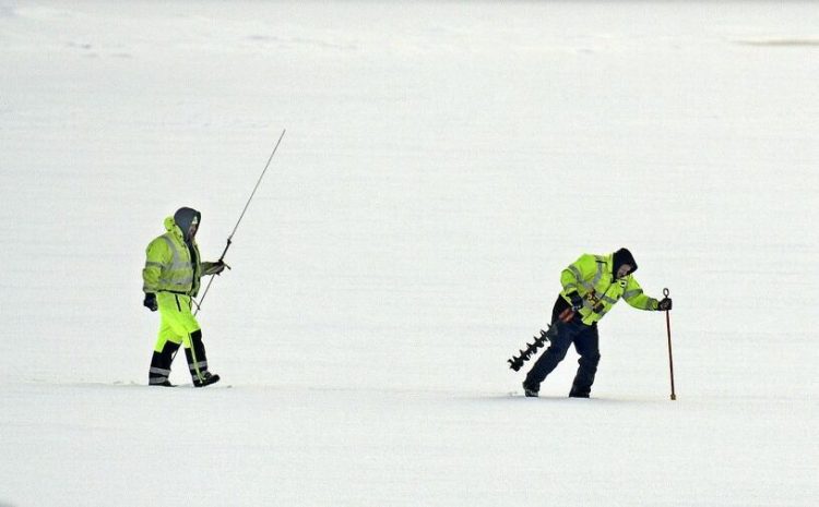
The frozen Kennebec River in Hallowell on Thursday. Andy Molloy/Kennebec Journal
Weather service officials said many northern Maine towns have seen near-record snowfalls. Caribou has amassed 151.5 inches of snow this season, which puts them on pace for record snow of 197.8 inches in 2007-2008, a year when flooding was widespread. A comparison of maps with snow water densities show similar data between 2018-2019 and 2007-2008, where flooding of the St. John River forced a number of Fort Kent residents to evacuate.
While Augusta and southern areas of the state have seen normal snowfall totals, temperatures have been low. This winter, according to weather service officials, has been the second-coldest in 71 years in the state capital. Kennebec County Emergency Management Agency Director Sean Goodwin said after the commission meeting that the melt will be gradual in Kennebec County, but the real flood risk originates in the northern areas of the Kennebec River.
The Kennebec River originates at Moosehead Lake. The eastern outlet of Moosehead has seen the third-most snowfall in 88 years this season, with 123.3 inches. That snow could start affecting areas down-river as early as April, which Goodwin said gives his agency plenty of time to coordinate with municipalities. Still, flood risks should grab the attention of Kennebec County towns with river frontage, such as Hallowell, Gardiner and Richmond.
In January 2018, an ice jam caused flooding in Hallowell, destroying nearly 20 vehicles and damaging several downtown businesses. The Kennebec Journal reported that a breakdown in communication between county and local emergency management officials led to downtown residents and business owners not being fully informed.
Since then, Hallowell and Kennebec County officials said they have worked to warn appropriate parties about flood potential well before flooding happens. Hallowell City Manager Nate Rudy said the town installed a flood gauge last year and that data informs their flood preparedness.
“We feel our manual is up to date and we feel we’re in a better position to respond to flood issues than we were last year,” he said Wednesday.
A representative from the Coast Guard briefed the commission on ice breaking missions, which are scheduled on the Kennebec River on March 25, 26 and 28. According to surveys done by USGS, areas of the Kennebec River currently have between 14 and 16 inches of ice.
Sam Shepherd can be contacted at 621-5666 or at:
sshepherd@centralmaine.com
Twitter: @SamShepME
Send questions/comments to the editors.

Success. Please wait for the page to reload. If the page does not reload within 5 seconds, please refresh the page.
Enter your email and password to access comments.
Hi, to comment on stories you must . This profile is in addition to your subscription and website login.
Already have a commenting profile? .
Invalid username/password.
Please check your email to confirm and complete your registration.
Only subscribers are eligible to post comments. Please subscribe or login first for digital access. Here’s why.
Use the form below to reset your password. When you've submitted your account email, we will send an email with a reset code.