

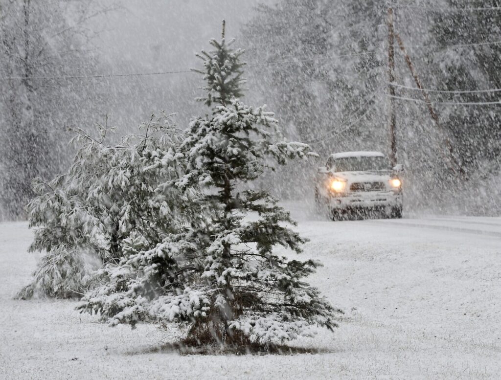
A motorist drives through snow covered roads with decreased visibility during a snowstorm in Vassalboro on Thursday. (Rich Abrahamson/Morning Sentinel)
LEWISTON — Early Thursday morning, before the snow began to fall, meteorologist Mike Haggett warned that the coming storm would be one to remember.
“This storm will go into our memory banks and remembered in the years ahead,” Haggett wrote on his Pine Tree Weather page.
He wasn’t wrong. By 3 p.m. Thursday, the wind was blowing hard and in most places, rain turned into heavy wet snow.
Come the commuter hour, reports of car wrecks, vehicles off roads and wires down were rolling in from all over the region.
In Auburn, it came particularly fast and furious. At 4:25 p.m., there was a reported crash at Poland and Manley roads in which a woman was said to be trapped in her vehicle.
At 4:30 p.m. came a report of a car vs. pole at Washington Street and Brickyard Circle. A short time later, wires were reported down on a car in the Washington Street area and minutes later, wires were down and sparking on Turner Road.
No serious injuries were reported in any of those wrecks.
It wasn’t much better in surrounding towns, with similar crashes and snow-related mayhem reported in Lewiston, Sabattus, Durham, Poland, New Gloucester and Wales.
By 9 p.m., most areas had received at least six inches of snow. And it was heavy, extremely wet snow — the kind that brings down power lines and causes outages.
At 9 p.m., Central Maine Power reported that roughly 79,000 customers were without power. In Androscoggin County, 9,000 were in the dark, roughly half of them in Auburn. Another 15,000 were without power in Kennebec County while about 6,000 were out in Oxford County.
Early in the evening, a tree was reported down on wires on Pond Road in Lewiston and in Auburn, public works crews had to shutdown the roadway when a snow laden tree came down on power lines, pulling down wires and four poles in the process at Hotel Road and Lake Street. Central Maine Power crews, already beleaguered by downed wires in other areas, were said to be on the way.
Just before 7 p.m., wires came down on Garfield Road, sparking and starting a fire. Fire fighters scrambled from another scene, but the fire was out when they arrived. Meanwhile, more lines were reported down across the bridge in Lewiston, on Montello Street this time. Fire crews responded and the street was shut down.
Just after 7 p.m., a car and pickup truck collided at Webster Street and Scribner Boulevard on slush covered streets. Police, fire and rescue crews responded. One woman was being examined for a complaint of pain.
Just before 9 p.m., a woman on Pond Road reported that a tree had crashed down onto her propane tank and the tank was hissing. The woman evacuated the home with her family and police advised her not to start her car while fire crews were on the way. Just 20 minutes later, a tree was reported down on a trailer in a lot on Sabattus Street while another was down on a car on Summit Avenue.
Emergency dispatchers in Androscoggin County, meanwhile, reported at about 9 p.m. that power outages had caused some of their systems, including some phones, to go down. At about the same time, a rollover crash was reported in Auburn, with the vehicle coming to rest on its roof.
Louds rolls of thunder were reported in several areas as the storm raged on. By 7 p.m., the snow was still coming down hard in the Lewiston-Auburn area, although by then there was less traffic on the roads. The storm was expected to start winding down late Thursday night.
Haggett, the meteorologist, advised that homeowners should consider their strategy when it comes time to clean up after the storm.
“There is nothing like a spring snow after a warm up which snow plows tear up gravel driveways and lawns,” Haggett wrote. “As I have been saying over the past couple of days, do the minimum amount of snow removal you can with this one. After a cool day Friday as the storm lingers, temperatures rise through Tuesday.”
Coming up next, according to Haggett: warming, rain and the potential for flooding at the start of next week.
Comments are not available on this story.
Send questions/comments to the editors.
