

Last Monday marked a mess of wind and rain in Maine. This Monday, a pretty impressive coastal storm will slide by to our south. In other words, we miss the worst of it. Good news there.
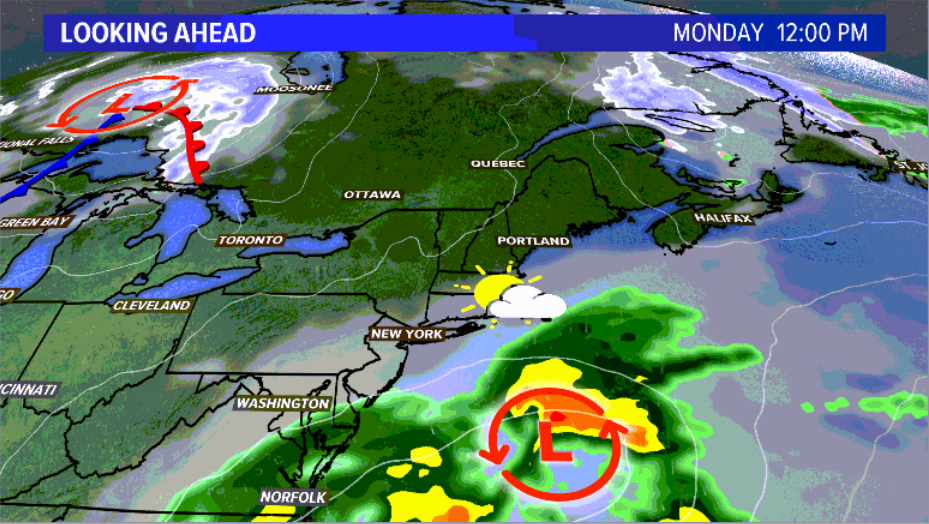
The storm slides south of us on Monday. News Center Maine
The day will not be super nice, though. Filtered sunshine and mostly cloudy skies in the morning will limit high temperatures, with most topping out near 50.
Tuesday starts off chilly – one of the coldest mornings in some time. Temperatures will likely be in the 20s inland and near 30 along the coastline. High temperatures make it to near 50 again as a warm front brings back shower chances.
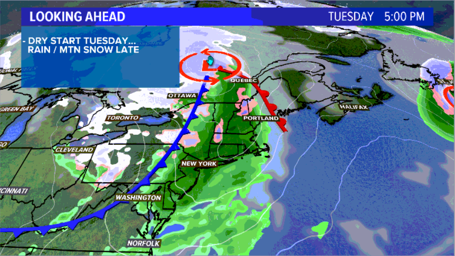
Showers start up later on Tuesday. News Center Maine
It will be breezy leading into Tuesday evening. This lasts through the day on Wednesday.
Expect mostly rain showers with a little bit of mixing in the mountains. After the cold front passes late Tuesday into early Wednesday, we open the door for a blast of cold.
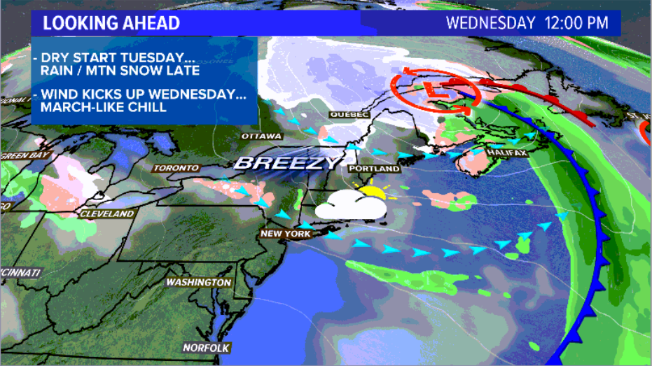
Wednesday will feel like winter for some Mainers. News Center Maine
Some isolated flurries fall inland. High temperatures will likely not make it higher than 45 degrees. Sunshine returns late in the day. The breeze finally tapers off Wednesday evening.
Thursday looks like a decent day, though it will still be slightly below average. High temperatures return to the 50s with some sunshine.
Friday could pose a shower threat to southern counties in Maine. It would be rain showers, if any at all. It still could miss us to the south.
More details as we get a bit closer. Until then, I’ll be posting forecast info on my Twitter and Facebook accounts. Check them out for more info.
Send questions/comments to the editors.

Success. Please wait for the page to reload. If the page does not reload within 5 seconds, please refresh the page.
Enter your email and password to access comments.
Hi, to comment on stories you must . This profile is in addition to your subscription and website login.
Already have a commenting profile? .
Invalid username/password.
Please check your email to confirm and complete your registration.
Only subscribers are eligible to post comments. Please subscribe or login first for digital access. Here’s why.
Use the form below to reset your password. When you've submitted your account email, we will send an email with a reset code.