

South Portland’s coastal location is one of the defining characteristics of the city, with deep historical, cultural and economic ties to the waterfront. The mix of commercial, industrial, cultural and recreational activity enriches the city directly and indirectly. As sea levels and storm surge increase with climate change, the waterfront will be at the forefront of increasing inundation, interrupted operations and property damage — putting our community increasingly at risk.
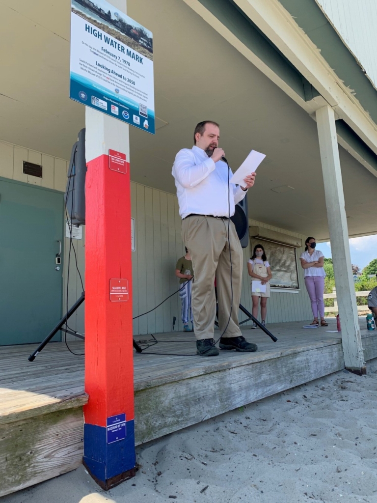
South Portland Mayor Misha Pride addresses the crowd at the city’s unveiling of high-water-mark signs that were placed in three locations. Courtesy photo
The city of South Portland recently installed high-water-mark Signs along the Greenbelt in Mill Creek, Bug Light Park and at Willard Beach. The signs show historic high water levels during the Blizzard of 1978 and then prompt community members to look ahead to 2050 by marking where flood levels for a historic storm, like the Blizzard of 1978, could be in the future without significant climate action.
The collaborative initiative among federal, state and local partners will help community members visualize where flood water could be in the future.
In the Gulf of Maine, sea levels are rising at a rate that is higher than the global average. More intense storms will also bring extreme rain and wind. Together, these effects will directly impact the health and well-being of the natural systems, communities and economies in South Portland.
The city’s new high-water-marks raise awareness of the local impacts from global climate change at some of the city’s most vulnerable and beloved waterfront locations. The initiative is one of many actions, tools and resources identified in One Climate Future, the city’s joint climate action and adaptation plan with Portland, to draw attention to sea level rise and local flood risk.
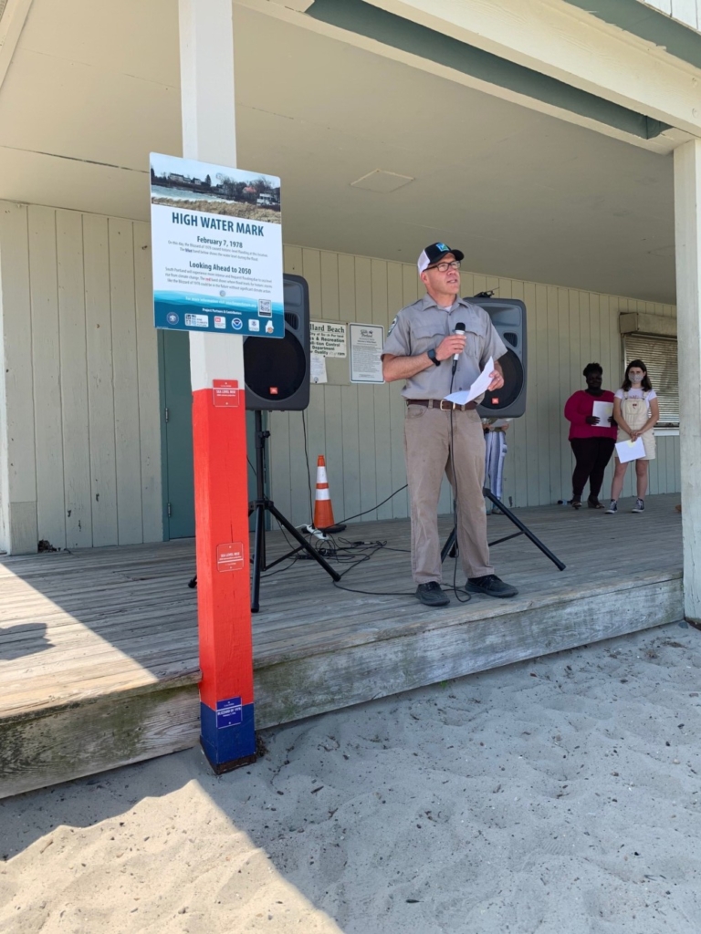
Pete Slovinsky, marine geologist with the Maine Geological Survey in the Department of Agriculture, Conservation, and Forestry, at the May 22 event to unveil high-water-mark signs in South Portland. Courtesy photo
The high-water-mark signs not only provide a stunning visual representation of future water levels, but also incorporate the voices of future generations through accompanying audio recordings created by South Portland High School students. The recordings explain the science behind coastal flooding, prompt listeners to consider local impacts higher seas and stronger storms and identify several ways for community members to take action. Recordings are available on the South Portland Community Television’s Vimeo page for streaming (vimeo.com/spctv) and can be accessed by scanning the QR code located on each sign.
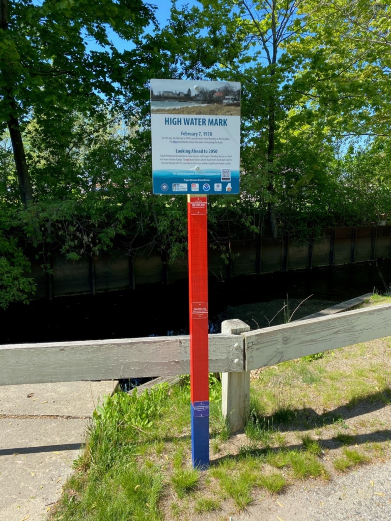
The city of South Portland unveiled the high-water-mark signs during an event at the Willard Beach Shack on May 26. Above, the sign placed in Mill Creek Park. Courtesy photo
The city unveiled the high-water-mark signs during an event at the Willard Beach Shack on May 26. South Portland’s mayor, South Portland High School students and several representatives from Maine Silver Jackets spoke at the event.
The high-water-mark installations were made possible through the Maine Silver Jackets. The Maine Silver Jackets High Water Mark Initiative was developed by FEMA in coordination with USACE, USGS, NOAA, NASA, and many other federal and state agencies across the United States. Additional information is available at oneclimatefuture.org.
Our Sustainable City is a recurring column in the Sentry intended to provide residents with news and information about sustainability initiatives in South Portland. The Sustainability Office is located at 496 Ocean St. in the former Hamlin School building. Follow the Sustainability Office on Instagram and Facebook @soposustainability. Lucy Perkins is sustainability program coordinator for South Portland.
Comments are not available on this story.
Send questions/comments to the editors.
