

It’s here … the final week of January.
So far this month, Portland has been running almost 2 degrees below normal. The frequent Arctic air intrusions have helped usher in one of the colder winter months in the past few years.
NEWS CENTER Maine
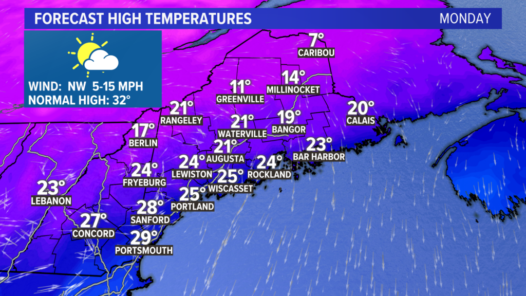
This is even evident in the forecast for high temperatures on Monday.
Most spots only make it into the 20s, almost 10 degrees below normal. Expect a mix of sun and clouds with the chilly temperatures.
NEWS CENTER Maine
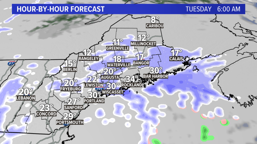
Snow showers begin late Monday night or early Tuesday morning. Watch for minor snow accumulations and slick roads during the morning commute.
NEWS CENTER Maine
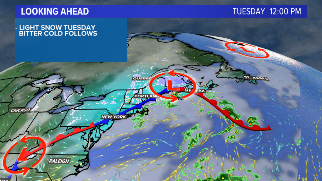
A weak storm passes on Tuesday, which brings a threat for snow showers most of the day.
NEWS CENTER Maine
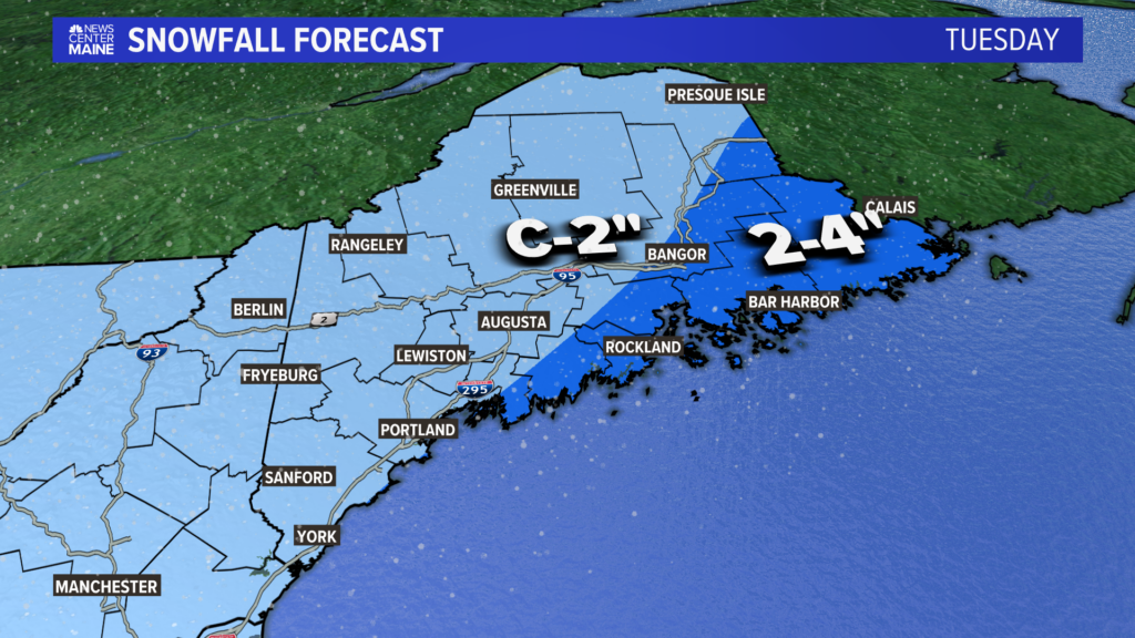
This is a pretty lackluster storm, and the forecast snow totals reflect that.
Most spots west of Augusta will see a coating to 2″of snow total.
NEWS CENTER Maine
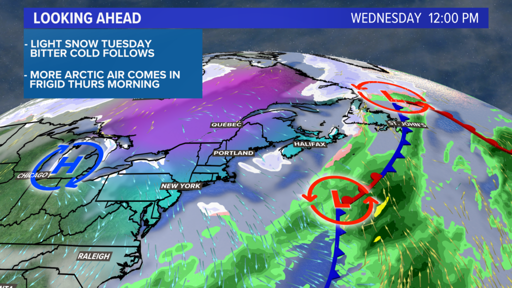
This storm opens the door to the Arctic yet again.
While Wednesday will be sunny, high temperatures will be stuck in the teens and 20s yet again.
The core of the colder air looks to settle in Wednesday night.
NEWS CENTER Maine
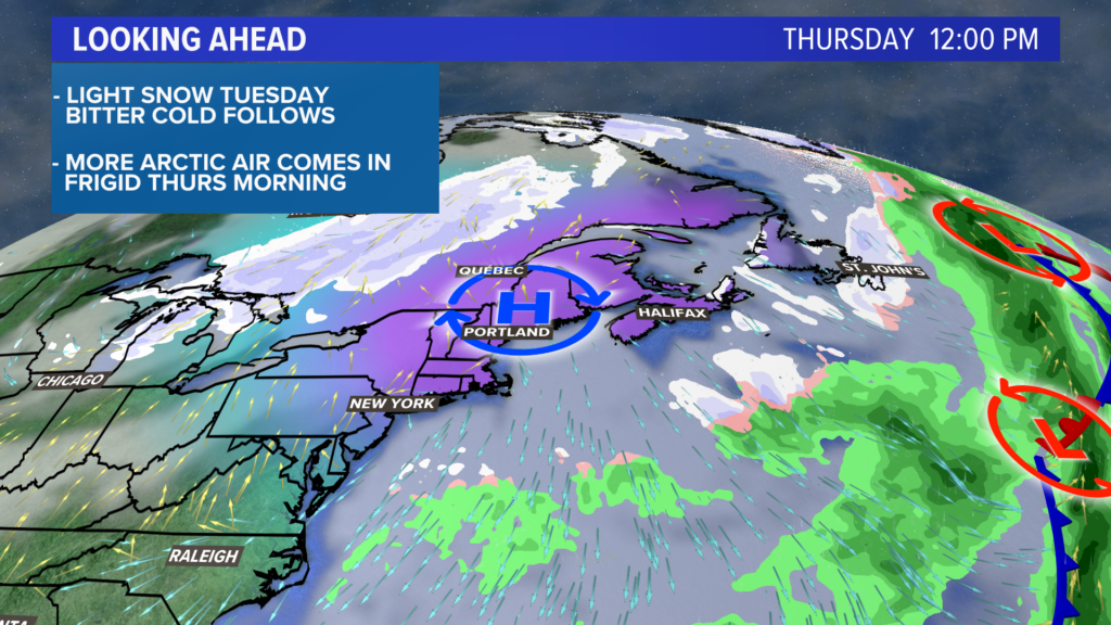
I think most spots will end up below zero again on Thursday morning. Some of the cold spots in western Maine might even fall down to -20° or lower range, if we can get the cold air to drain into the valleys.
Clouds begin to thicken up a bit on Friday, and there could be a bigger storm looming for the weekend.
More on that, of course, as we get closer.
You can get more updates by following me on Twitter, @MikeSliferWX.
Comments are not available on this story.
Send questions/comments to the editors.
