

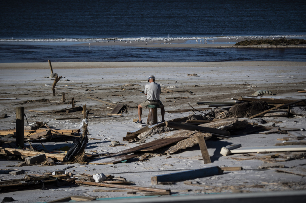
Billy Harvey in Oct. 2018, in Mexico Beach, Fla., two days after Hurricane Michael made landfall. Jabin Botsford/The Washington Post
A typical Atlantic hurricane season could be ahead this summer and fall, the National Oceanic and Atmospheric Administration predicted Thursday. But the agency stressed an uncertain outlook, urging people to prepare for more dangerous and rapidly intensifying storms – and potentially an eighth consecutive above-normal hurricane season.
The agency is predicting 12 to 17 tropical storms, which get a name once their maximum sustained winds reach 39 mph. Five to nine of those cyclones are forecast to strengthen into hurricanes, with sustained winds of 74 mph or greater. One to four hurricanes could reach “major” status, with sustained winds exceeding 111 mph.
Based on data from 1991 through 2020, 14 named storms, seven hurricanes, and three major hurricanes form in the Atlantic basin each year on average. The Atlantic hurricane season begins June 1.
The agency predicted a 40 percent chance of a near-normal season but said odds were nearly as high that the season could end up above or below normal, with 30 percent chances of either outcome.
“It’s time to prepare,” NOAA Administrator Rick Spinrad said at a media briefing. “Remember, it only takes one storm to devastate a community.”
Conflicting climatic trends are making this year’s long-term tropical weather outlook especially difficult to pin down, meteorologists said.
Leading them to expect fewer tropical cyclones in the Atlantic: a fast-developing episode of the global climate pattern known as El Niño, which has been brewing for the past few months. El Niño has domino effects on global weather patterns. Among them: Conditions in the Atlantic tend to be less favorable for storms to organize and strengthen.
The climate pattern makes high-pressure systems more common over the Atlantic basin, and it increases wind shear. That variation in wind speeds and direction at different altitudes can prevent tropical systems from organizing into cyclones with defined eyes.
During past El Niño episodes, there have been as few as six and as many as 18 named storms, said Matthew Rosencrans, NOAA’s lead hurricane season outlook forecaster.
On the other hand, unusually warm waters could serve to encourage tropical systems to form and strengthen. Amid a surge in average global sea surface temperatures, scientists have recently observed record ocean warmth for this time of year in areas of the Atlantic that are key for tropical storm formation and intensification.
“It’s a pretty rare condition to have both of these going on at the same time,” Rosencrans said of the Atlantic warmth and the developing El Niño. That’s why the agency assigned relatively even probabilities of above, below, or near-normal storm seasons, he said.
“It’s definitely kind of a rare setup,” he said.
The ocean warmth extends into Gulf Stream waters off the Mid-Atlantic states and the Gulf of Mexico, where extra heat, as well as favorable wind patterns, could encourage storms to undergo rapid intensification, defined as a 35 mph increase in a storm’s wind speeds within 24 hours, as Hurricane Ian did last September.
Research suggests rapid intensification is occurring more frequently as human-caused climate change is warming the planet and thus providing more energy for storms. Sixteen of the 20 hurricanes over the past two seasons in the Atlantic basin have undergone rapid intensification.
The U.S. has seen more Category 4 and 5 hurricane landfalls since 2017 than it did from 1963 to 2016.
NOAA officials said they are better prepared for forecasting such storm impacts as this season begins, in part because of major federal spending through the recent federal laws focused on infrastructure investment and inflation reduction.
In June, they will launch a new hurricane forecasting model that they expect will eventually become their primary forecasting tool, expected to improve predictions of storm track and intensity by 15 percent. The agency has also expanded its midrange forecasting capabilities as it invests in modeling and supercomputing, stretching its tropical weather outlooks from five days to seven days this year.
Meteorologists emphasize that, even during a season with below-normal hurricane activity, any single storm can bring devastation.
“NOAA and FEMA are prepared,” Deputy Secretary of Commerce Don Graves said. “Now it’s time for communities to prepare as well.”
Federal Emergency Management Agency Director Deanne Criswell urged coastal and inland residents to gauge their risks of flooding, wind damage, and even carbon monoxide poisoning from portable power generators, and to develop emergency kits and evacuation plans.
When storms approach, “you can only take action quickly if you take the steps today,” Criswell said.
The last below-normal hurricane season in the Atlantic came in 2015, during the last El Niño episode. Since then, there has been a string of active years for Atlantic tropical cyclones, including a record-setting 2020 season with 30 named storms.
As this hurricane season begins, Atlantic waters are about as warm as they were in 2020, Rosencrans said. At the same time, there is about a 93 percent chance that El Niño will be active during the heart of hurricane season from August through October, he said.
Other season outlooks suggest that slightly below-normal activity is possible because of El Niño. Colorado State University’s Tropical Meteorology Project in April predicted 13 named storms, six hurricanes, and two major hurricanes this year, while also noting that its forecast contained “more uncertainty than normal.”
AccuWeather predicted a range of outcomes, depending on how El Niño and sea surface temperature trends play out: 11 to 15 named storms, four to eight hurricanes, and one to three major hurricanes. AccuWeather suggested two to four storms could have “direct impacts” on the U.S., including Puerto Rico and the U.S. Virgin Islands.
The Weather Company, which owns weather.com, Weather Underground, and weather data company Atmospheric G2, predicted slightly more named storms than normal, with 15, and average hurricane activity.
Hurricane season begins June 1 and ends Nov. 30, though cyclones can and have developed outside that window. The National Hurricane Center said this month that, in hindsight, a subtropical storm formed off the northeastern U.S. coast in mid-January.
The first system to become a tropical storm this year will get the name, Arlene. The season is expected to end well before reaching the last on this year’s list of storm names: Whitney.
Copy the Story LinkSend questions/comments to the editors.

Success. Please wait for the page to reload. If the page does not reload within 5 seconds, please refresh the page.
Enter your email and password to access comments.
Hi, to comment on stories you must . This profile is in addition to your subscription and website login.
Already have a commenting profile? .
Invalid username/password.
Please check your email to confirm and complete your registration.
Only subscribers are eligible to post comments. Please subscribe or login first for digital access. Here’s why.
Use the form below to reset your password. When you've submitted your account email, we will send an email with a reset code.