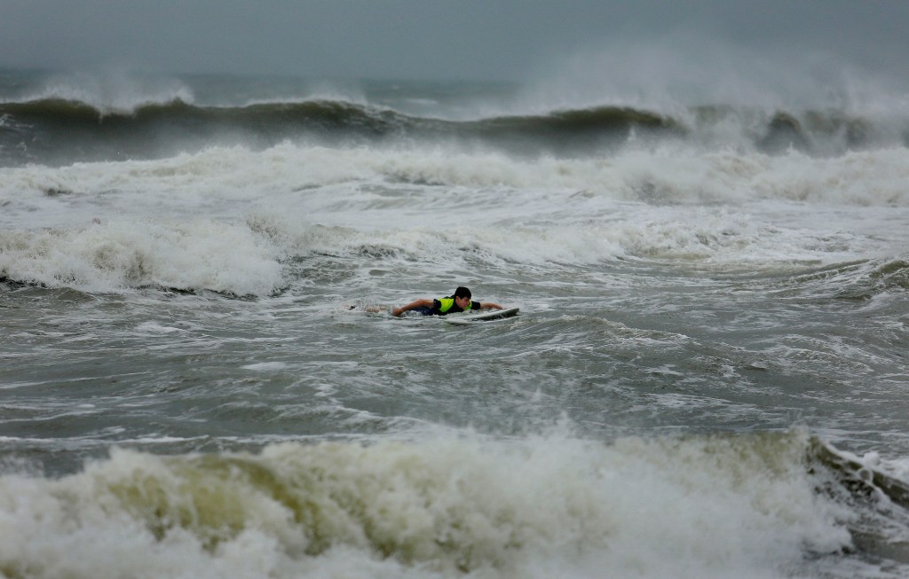
Danny Yates, a William and Mary law student, paddles out through waves created by the remnants a storm, Friday, July 4, 2014, in Sandbridge, Va.
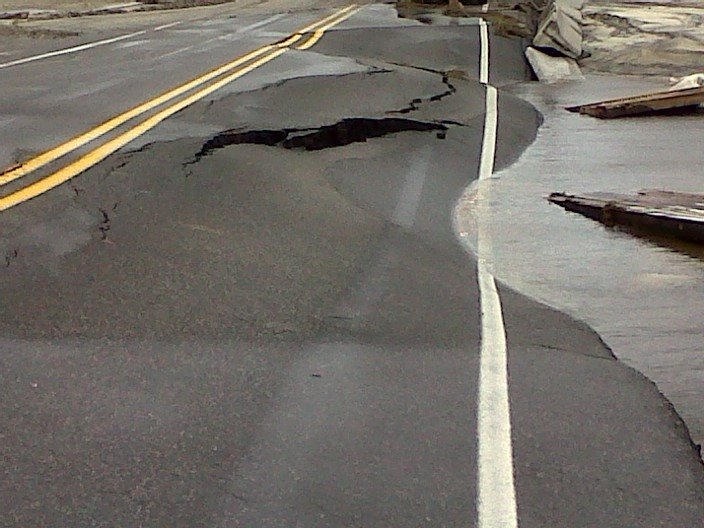
Water from Hurricane Arthur buckled a section of North Carolina Highway 12 on Hatteras Island, seen in a Friday, July 4, 2014 photo provided by the North Carolina Department of Transportation.
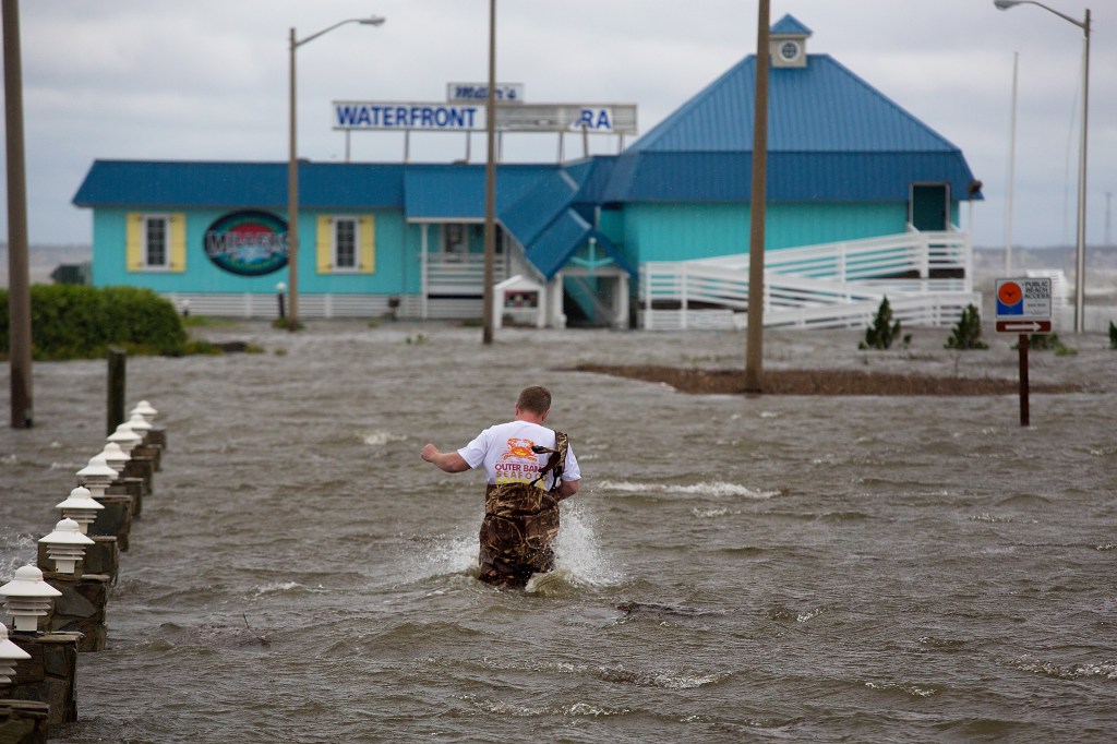
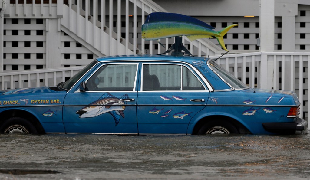
Bryan Wilson, owner of Millerís Waterfront restaurant, braves floodwaters to check the damage to his property as wind from the Hurricane Arthur pushes water to his parking lot in Nags Head, N.C. Friday, July 4, 2014.
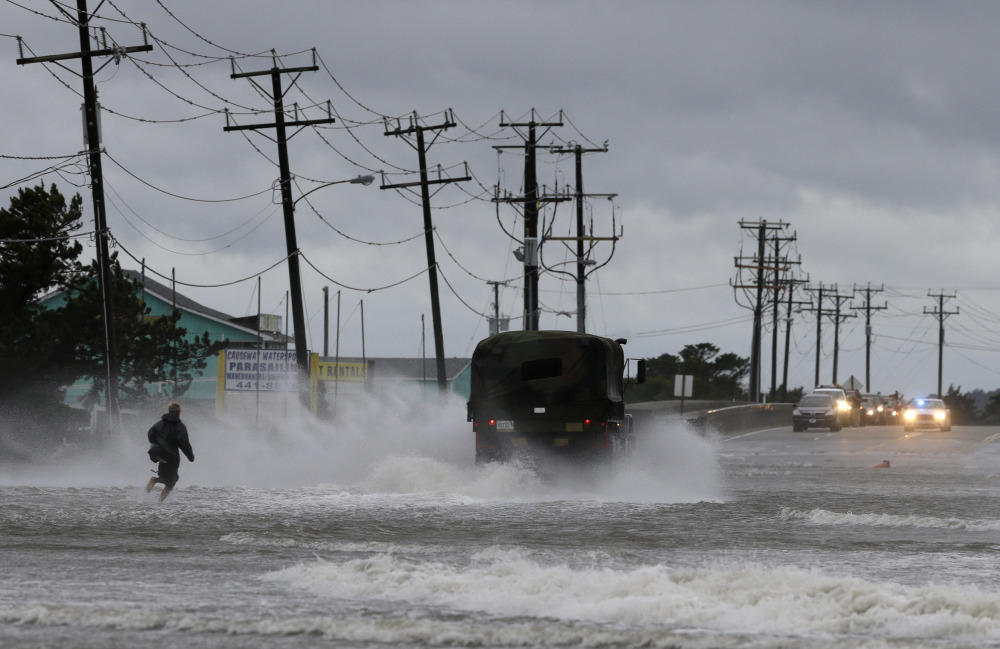
A military vehicle and a man navigate a flooded Highway 64 as wind pushes water over the road while Hurricane Arthur passes through Nags Head, N.C., Friday, July 4, 2014.
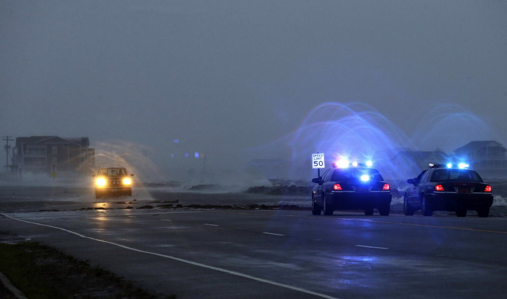
Police watch a flooded area as a vehicle navigates Highway 64 as wind pushes water over the road while Hurricane Arthur passes through Nags Head, N.C., Friday, July 4, 2014.

A man crosses a flooded Highway 64 as wind pushes water over the road as Hurricane Arthur passes through Nags Head, N.C., Friday, July 4, 2014.
A vehicle sits in rising waters as Hurricane Arthur passes through the area in Nags Head, N.C., Friday, July 4, 2014.
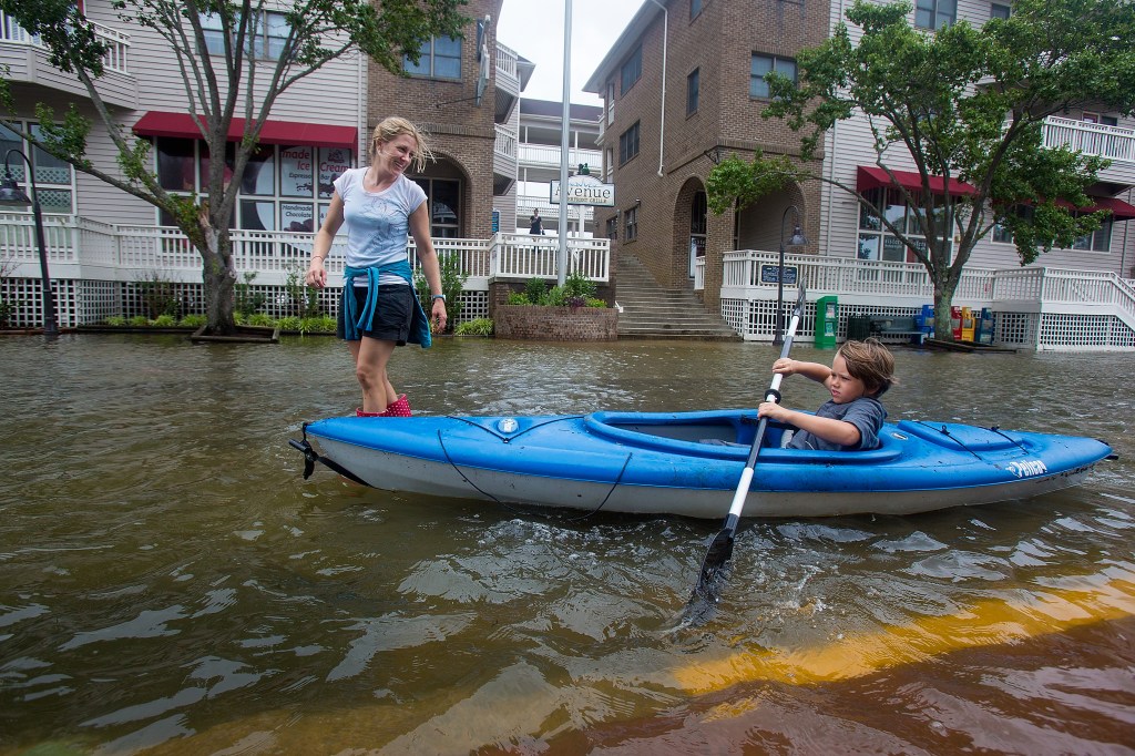
Lauren Heesemann, left, smiles at her nephew Summit Gibson, 7, from Oklahoma as he tries to maintain his balance on the kayak through a flooded street on Friday, July 4, 2014, in Manteo, N.C.
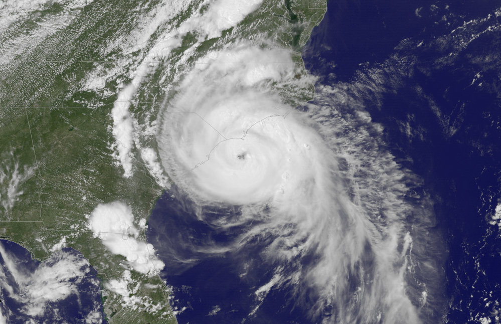
This Thursday, July 3, 2014, satellite image taken at 3:45 p.m. EDT and released by the National Oceanic and Atmospheric Administration (NOAA), shows Hurricane Arthur near the coasts of South Carolina and North Carolina. Arthur strengthened to a Category 2 hurricane Thursday night, its winds strengthening to 100 mph before it made landfall. Little change was expected in the storm’s strength Thursday night and Friday, and Arthur was expected to weaken as it travels northward and slings rain along the East Coast.