Days ago, Maine appeared to be on the doorstep of spring, with irises sprouting around house foundations and the smell of mud season in the air.
Today, it looks like this on-again, off-again winter is on again.
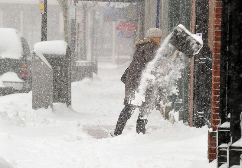
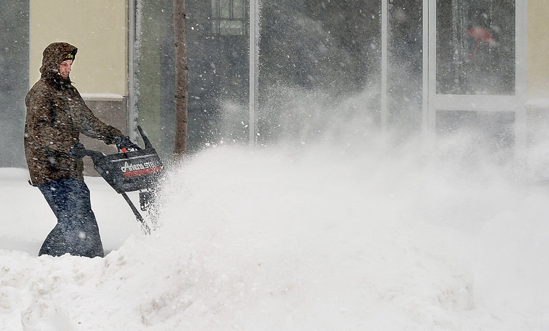
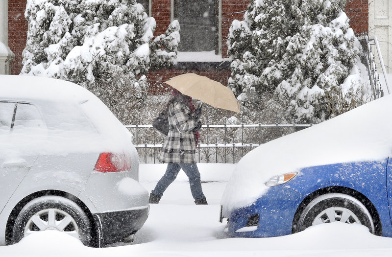
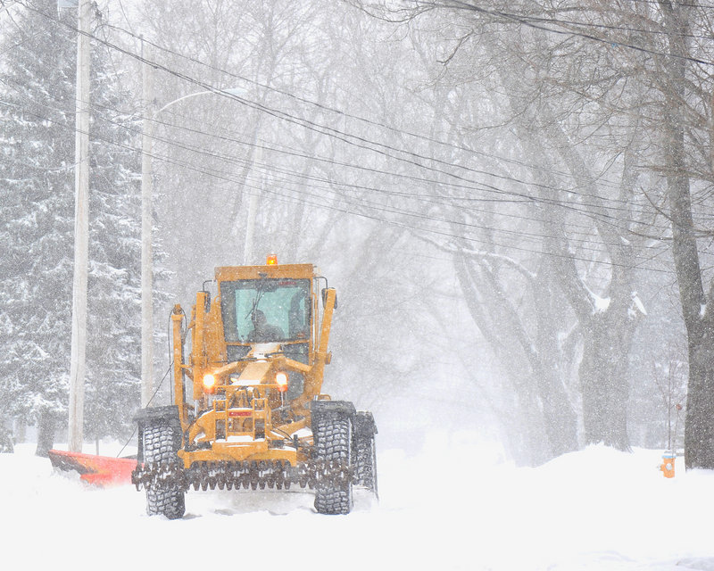
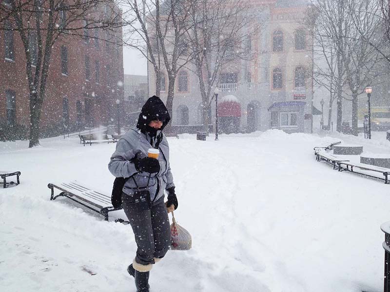
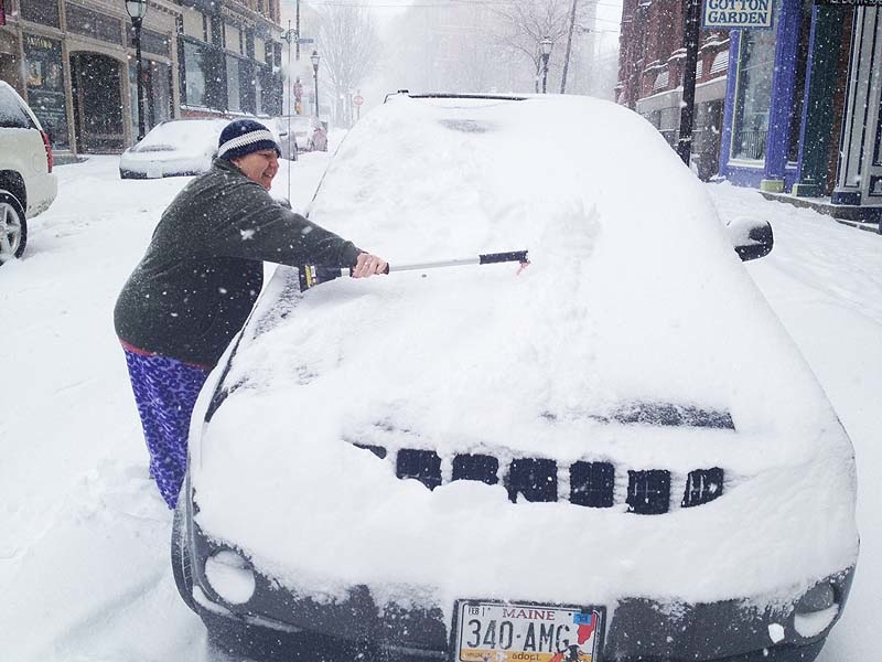
Much of southern and western Maine stayed indoors Thursday as 10 to 14 inches of snow fell over a 24-hour span. Many schools were closed, and state and municipal offices closed early.
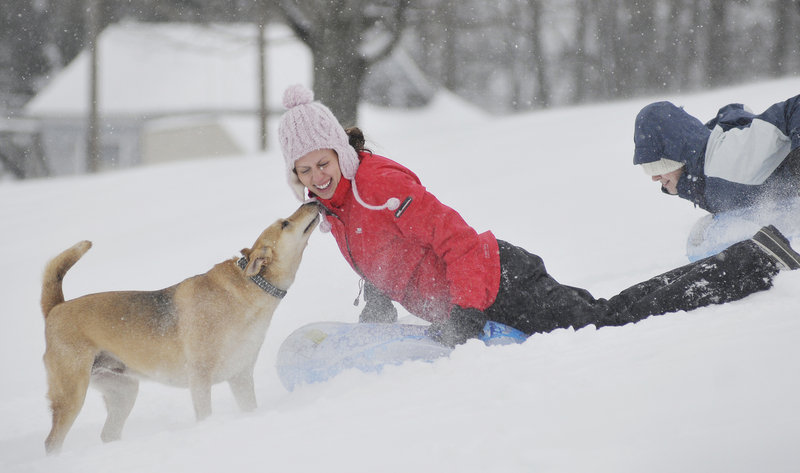
Winter sports lovers breathed a big collective sigh of relief.
“We’re so excited,” said Cathryn Anderson, who works at the Pineland Farms Ski Touring Center, which has had to make snow just to have limited cross-country skiing this year. “People are just pouring in and calling, saying it’s finally here.”
But will it last? On the heels of the relief they felt, outdoor enthusiasts almost immediately started to hold their breath; the forecast calls for a little snow tonight, turning to rain Saturday.
“We in the nordic world are more inclined to think it will be snow,” Anderson said. “Maybe that’s wishful thinking.”
Either way, the state will get a blast of cold air to freeze what moisture remains, followed by warm temperatures – in the 40s anyway – next week, said Mike Cerpa of the National Weather Service in Gray.
Thursday’s storm dumped 13 inches in Portland by 7 p.m., breaking the record for March 1. The previous record for the date was 9.6 inches of snow, set in 2005.
Parking bans declared in many southern Maine communities proved a headache for some small businesses. Dr. Jeff Cook, a dentist in Yarmouth, had to reschedule the entire day.
“For my office, we don’t have off-street parking, so that’s pretty much a deal-breaker for us,” he said of the daylong parking ban in his town.
The snow and winds that gusted to 25 mph complicated Thursday’s morning and evening commutes.
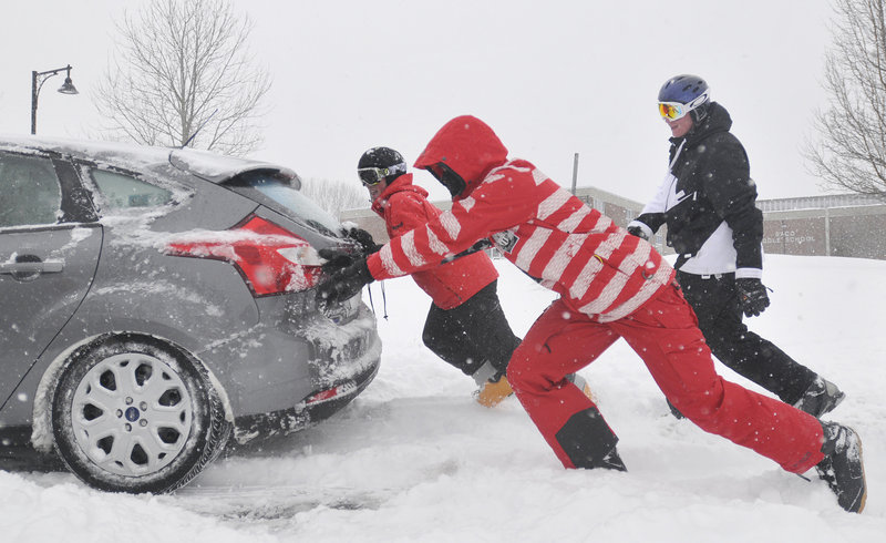
While no serious traffic accidents were reported, many cars slid off the roads.
“It’s a typical Maine winter storm, where the people that ended up off the road are the ones driving too fast for the conditions,” said Maine State Police Sgt. Robert Burke.
“They need to remember the roads are extremely slippery. I almost got hit out here,” he said, from the Maine Turnpike.
One woman ran into the back of a Department of Transportation supervisor’s truck at Exit 17 southbound on the turnpike, Burke said.
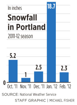
Portland now has gotten more than 39 inches of snow this winter, but there was little evidence of any snowfall before Thursday.
The snow from storms on Halloween and just before Thanksgiving was gone by the time winter got into full swing.
January brought more than 18 inches of snow, but that too melted away.
As February neared its end, the ground was virtually bare in southern Maine.
That was bad news for cross-country skiers and sledders, but welcome news for emergency planners who are forecasting this spring’s threat of flooding.
Despite Thursday’s snow, the potential for river flooding in southern Maine is below normal. That’s because there is little snowpack and little river ice.
The River Flow Advisory Commission held its first meeting of the season Thursday to evaluate the flood threat throughout Maine. The snowpack represents a reservoir of water that can be turned loose with significant rain.
River ice can cause jams that act like dams, swelling rivers to flood stage upstream. When the ice jams give way, the sudden release threatens downstream areas, said Lynette Miller, spokeswoman for the Maine Emergency Management Agency.
The commission noted that the fast-moving rain this weekend will be followed by a blast of cold, then above-average temperatures for the next week.
“This has been a strange fall and winter, in terms of snowfall and temperature. But one rainstorm at the wrong time could still cause flooding,” said Rob McAleer, director of the Maine Emergency Management Agency and co-chair of the commission, in a statement issued after the meeting.
The commission, which includes state and federal officials and members of industries that are affected by water flow issues, was formed in response to severe flooding in 1987, when the snowpack was not unusually big but heavy rain inundated the state.
This time of year can bring sudden flooding because frozen ground does not absorb rain and the trees have no leaves, which help to draw water out of the soil during warmer months.
Staff Writer David Hench can be contacted at 791-6327 or at:
dhench@pressherald.com
Send questions/comments to the editors.




Success. Please wait for the page to reload. If the page does not reload within 5 seconds, please refresh the page.
Enter your email and password to access comments.
Hi, to comment on stories you must . This profile is in addition to your subscription and website login.
Already have a commenting profile? .
Invalid username/password.
Please check your email to confirm and complete your registration.
Only subscribers are eligible to post comments. Please subscribe or login first for digital access. Here’s why.
Use the form below to reset your password. When you've submitted your account email, we will send an email with a reset code.