Many Mainers would probably like to see the ubiquitous mounds of snow disappear all at once and replaced by brown grass and asphalt.
But for those trying to predict spring floods, that would be a sign of a disastrous spring.
The U.S. Geological Survey and other agencies have begun conducting weekly snow surveys at hundreds of locations across the state to identify areas where the snow is deepest and most dense – meaning it has the highest water content. They will keep an eye on those areas as spring approaches and the snow begins to melt.
“Compared to two years ago, it’s a lot different because we had virtually no snowpack at this point,” USGS hydrologist Charles Culbertson said Wednesday. “But what we’re seeing is typical for this time of year.”
While a deep snowpack can set the stage for spring flooding, this winter’s consistent snow cover has been good news for gardens and farms, said Richard Brzozowski, an agricultural educator for the University of Maine Cooperative Extension service.
Strawberry crops will benefit from the blanket of snow protecting them from the withering cold, and everything from lawns to vegetable gardens will enjoy the nitrogen left behind by the melting piles of snow, known by farmers as the poor man’s fertilizer.
“Snow is good,” Brzozowski said.
A snowpack that lasts longer than usual could delay spring bulbs from sprouting. On the other hand, Brzozowski said, the insulating snow cover means the soil below won’t take as long to thaw and warm up for planting season.
“Spring will come like it usually does. Sometimes, it’s a week earlier or a week later, but it all balances out,” he said.
The agencies charged with predicting flooding danger conducted monthly snowpack surveys in January and February, and began weekly measurements at the beginning of March.
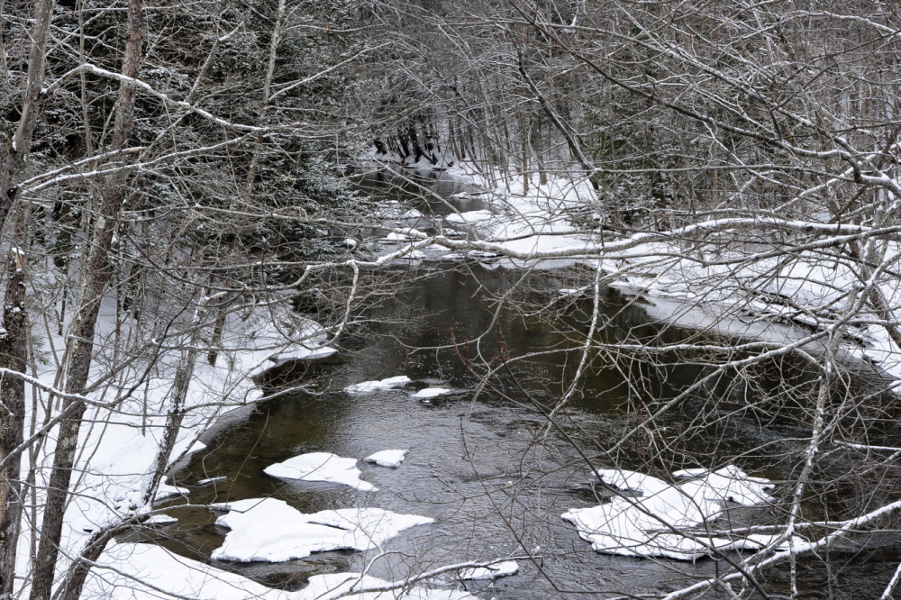
Flooding is a perennial concern in Maine. In the best scenario, accumulated snow melts slowly and evenly as the temperatures ease into the high 30s and 40s.
But, if there is a stretch of unseasonably warm temperatures and the snow melts too quickly, it can cause flooding, as can heavy rains over a short amount of time. If both warm temperatures and heavy rain arrive at the same time, that’s the nightmare scenario.
The spring of 2008 was one of the worst in recent memory for flooding. The entire downtown of Fort Kent in Aroostook County was under water after the St. John River climbed to record levels.
This week’s map was released Wednesday in advance of the River Flow Advisory Commission’s annual late winter meeting Thursday. The map will be updated every week until early May.
According to the provisional map, which surveyed 179 sites across the state, the snow depth ranged from about 6 to 18 inches in parts of southern Maine to 36 to 42 inches in small areas of far western Maine near Rangeley. Last year’s snow totals were a little higher across the board at this point.
As for density, snowpack with densities above 0.33 are considered “ripe,” or no longer able to absorb rainfall and likely to release water if it rains. The areas with the highest densities this year, 0.36 to 0.40, were in Oxford County around Rumford and Franklin County around the Jay area. Last year, the ripe areas in early March were a large portion of central Piscataquis County north of Milo and Dover-Foxcroft and a large swath of Washington County northeast of Machias.
The commission on Thursday reviewed conditions and short-term weather forecasts. So far, they reported, river ice is within the normal range in most areas of the state, and below-average cold temperatures will hold the current snow pack in place, with the possibility of more snow and thickening of the ice.
Lynette Miller, spokeswoman for the Maine Emergency Management Agency, said the spring snow surveys provide valuable information to emergency personnel.
The National Weather Service also uses the information for preparing flood-potential statements and running flood-forecast models.
“There is always potential and this year there is more snow on the ground, so we’re paying attention,” said James Brown, a meteorologist with the National Weather Service in Gray.
Brown said the worst situations exist when there is dense snow near headwaters of major rivers such as the Kennebec, Androscoggin and Penobscot. The density of snow near most headwaters this year is normal, he said.
The commission also reported that reservoir levels in the headwaters of the state’s large rivers are being drawn down to prepare for spring runoff.
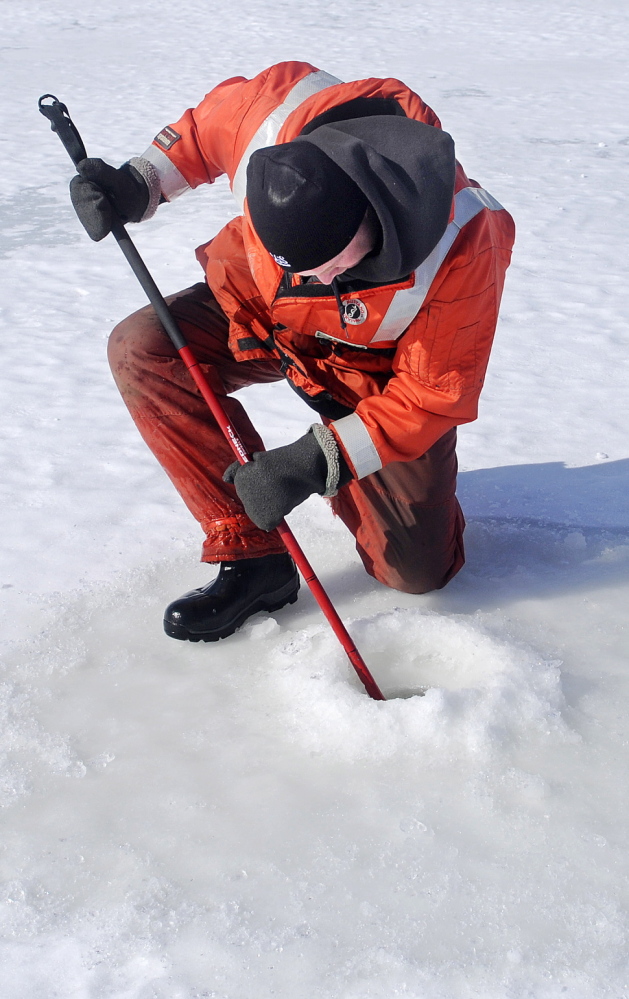
Another potential concern is the thickness of ice on major rivers, which can cause ice jams when water is supposed to flow. Ice is thick in many areas, Brown said, but U.S. Coast Guard officials have been aggressive in breaking up ice jams over the past month.
Staff Writer Eric Russell can be contacted at 791-6344 or:
Twitter: @PPHEricRussell
Send questions/comments to the editors.


Success. Please wait for the page to reload. If the page does not reload within 5 seconds, please refresh the page.
Enter your email and password to access comments.
Hi, to comment on stories you must . This profile is in addition to your subscription and website login.
Already have a commenting profile? .
Invalid username/password.
Please check your email to confirm and complete your registration.
Only subscribers are eligible to post comments. Please subscribe or login first for digital access. Here’s why.
Use the form below to reset your password. When you've submitted your account email, we will send an email with a reset code.