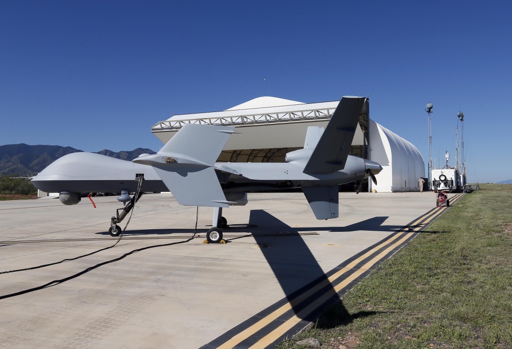
SIERRA VISTA, Ariz. — The U.S. government now patrols nearly half the Mexican border by drones alone in a largely unheralded shift to control desolate stretches where there are no agents, camera towers, ground sensors or fences, and it plans to expand the strategy to the Canadian border.
It represents a significant departure from a decades-old approach that emphasizes boots on the ground and fences. Since 2000, the number of Border Patrol agents on the 1,954-mile border more than doubled to surpass 18,000 and fencing multiplied nine times to 700 miles.
Under the new approach, Predator Bs sweep remote mountains, canyons and rivers with a high-resolution video camera and return within three days for another video in the same spot, two officials said.
The two videos are then overlaid for analysts who use sophisticated software to identify tiny changes – perhaps the tracks of a farmer or cows, perhaps those of immigrants who entered the country illegally or a drug-laden Hummer, they said.
About 92 percent of drone missions have shown no change in terrain, but the others raised enough questions to dispatch agents to determine if someone got away, sometimes by helicopter because the area is so remote. The agents look for any sign of human activity – footprints, broken twigs, trash.
About 4 percent of missions have been false alarms and about 2 percent are inconclusive. The remaining 2 percent offer evidence of illegal crossings from Mexico, which typically results in ground sensors being planted for closer monitoring.
The government has operated about 10,000 drone flights under the strategy, known internally as “change detection,” since it began in March 2013. The flights currently cover about 900 miles, much of it in Texas, and are expected to expand to the Canadian border by the end of 2015.
The purpose is to assign agents where illegal activity is highest, said R. Gil Kerlikowske, commissioner of Customs and Border Protection, the Border Patrol’s parent agency.
“You have finite resources,” he said. “If you can look at some very rugged terrain (and) you can see there’s not traffic, whether it’s tire tracks or clothing being abandoned or anything else, you want to deploy your resources to where you have a greater risk, a greater threat.”
Border missions fly out of Sierra Vista, home of the U.S. Army Intelligence Center at Fort Huachuca, or Corpus Christi, Texas.
Send questions/comments to the editors.


Success. Please wait for the page to reload. If the page does not reload within 5 seconds, please refresh the page.
Enter your email and password to access comments.
Hi, to comment on stories you must . This profile is in addition to your subscription and website login.
Already have a commenting profile? .
Invalid username/password.
Please check your email to confirm and complete your registration.
Only subscribers are eligible to post comments. Please subscribe or login first for digital access. Here’s why.
Use the form below to reset your password. When you've submitted your account email, we will send an email with a reset code.