
In an effort to keep up with the digital age and to more easily inform residents and visitors about the town’s various public trails, Scarborough Community Services is creating a local trails app that people can upload to their smartphones or other handheld devices.
And while apps have become ubiquitous, having one that focuses solely on local trail systems would be unique to the area. Neither the South Portland Land Trust nor the Cape Elizabeth Land Trust have yet turned to apps to help people navigate their trails, according to their respective spokesmen.
The trails app that Community Services is creating for Scarborough would also be the first such app for any town department, according to Nicole Hall, the project manager for the trails app program.
While the Scarborough Land Trust is not officially partnering with the town on this project, Kathy Mills, the trust’s executive director, is all for it.
“We think it’s a great idea, and applaud Community Services for taking the initiative,” Mills said. “A local trails app would be a great way for more people to learn about Scarborough Land Trust trails. We conserve land for public benefit and we are happy to have more people enjoy our trails.”
And while neither the South Portland Land Trust nor the Cape Elizabeth Land Trust are pursuing a similar app program, both Cindy Krum in South Portland and Chris Franklin in Cape think it’s a great idea.
Krum said a trails app is “a great idea. We have not (done it) but might look into it in the future” and Franklin said, “We have toyed with some online interactive maps, but that is all.”
In terms of the land trust trails in Scarborough, Mills said people should know that they are “easy to access and you don’t have to drive far to enjoy a good walk in the woods, along a brook, out in a field or near the marsh.”
She also said, “Our trails are free and open to the public year-round, so people can enjoy them in all seasons.” In addition, downloadable trail maps are available online at www.scarboroughlandtrust.org.
Hall said that Scarborough Community Services thought creating a trails app would be a good idea because there seems to be an “increasing focus on wellness and health, as well as an interest in reconnecting to nature.”
She added, “We are finding more and more individuals and families interested in using our many trails. At the same time we are living in a digital age. By combining the two we hope to provide our users an easily accessible app that fits all of their needs and interests.”
Hall said that although her department is not working directly with the Scarborough Land Trust, “we will be uploading all of their maps, trail facts and photos for their respective trails. It is important for our citizens to be aware of all of the trails available to them in Scarborough.”
In terms of looking around Maine for similar programs, Hall said,
“When we started researching trail apps, we found many Maine trails on websites, such as Trails.com and MaineTrailFinder.com, but not all of the websites also offered an app. Or if the website did link to an app, the parameters didn’t allow all of our trails to be uploaded.”
She said the goal of the app is to make local trail maps, routes and information “easily accessible to interested users. The ultimate vision is to have a user on a trail take out their (mobile device), find the map for the trail they have chosen and be able to track their progress, experiences and even points of interest along the way.”
Hall said, “We (also) hope it will have the capabilities for users to upload their experiences and photos to social media sites. With GPS capabilities, it should also provide necessary location information to public safety personnel should emergency services be required on the trail.”
She said that Community Services seemed to be well on its way to offering its new trails app to users sometime this fall, but then the department experienced a setback.
“Just like everything technology-based, app development changes day-by-day,” Hall said. And, to date, the town has not found an app that works consistently well and that is also available for free.
“We are currently back at the researching stage of either finding a user-friendly app that already exists or possibly finding a local company that can develop an app just for us with the specifications we require,” she said.
Hall said she’s been able to find similar apps available from other states, such as Carrollton, Texas, “which we would like to use as a model for our app.”
Overall, she said, “We think it’s important to note that this project will take some time before it comes to fruition. Once we have found a usable app or have had one developed for us, there will be a good amount of time spent on running tests to make sure it works perfectly before launching it to the public. We will keep residents apprised of the progress on the Community Services trails webpage.”
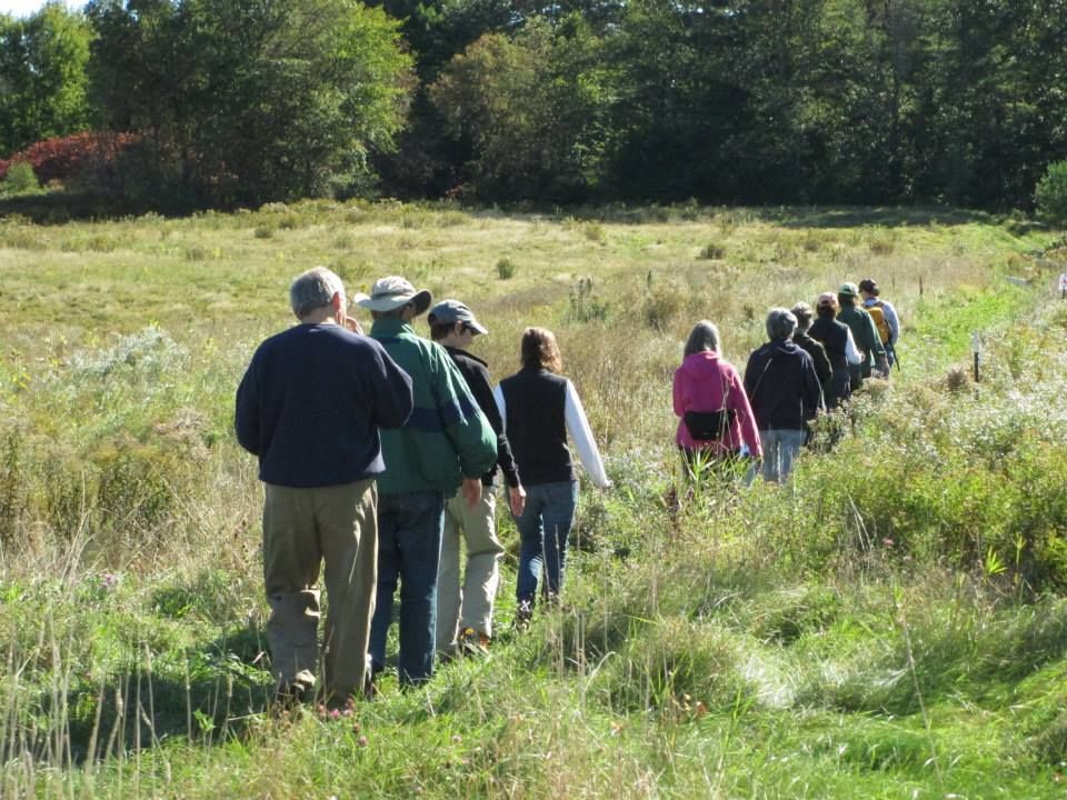 A group of walkers enjoying the trails at the Fuller Farm in Scarborough. Soon, local trail maps will be available for electronic download to handheld devices.Courtesy photo
Comments are no longer available on this story