
After the weekend chill, temperatures have recovered somewhat, but are still at frosty levels for Monday. The weather pattern overall is cold and it does appear that we will have several chances for precipitation between now and the end of the month.
The models have done a particularly poor job of forecasting the cold weather in the long range. In fact, at the beginning of the month it looked like November would be average or even warmer than average. That obviously hasn’t happened. This month is probably going to trend average or colder than average which means the likelihood of a colder and snowy winter increases.
Today we’re looking at a small area of low pressure moving south of New England and bringing a period of showers in some form, especially later this afternoon and early this evening. Because of the cloud cover and the precipitation it will be raw and quite chilly with highs struggling to get to the upper 30s.
ON THE EDGE
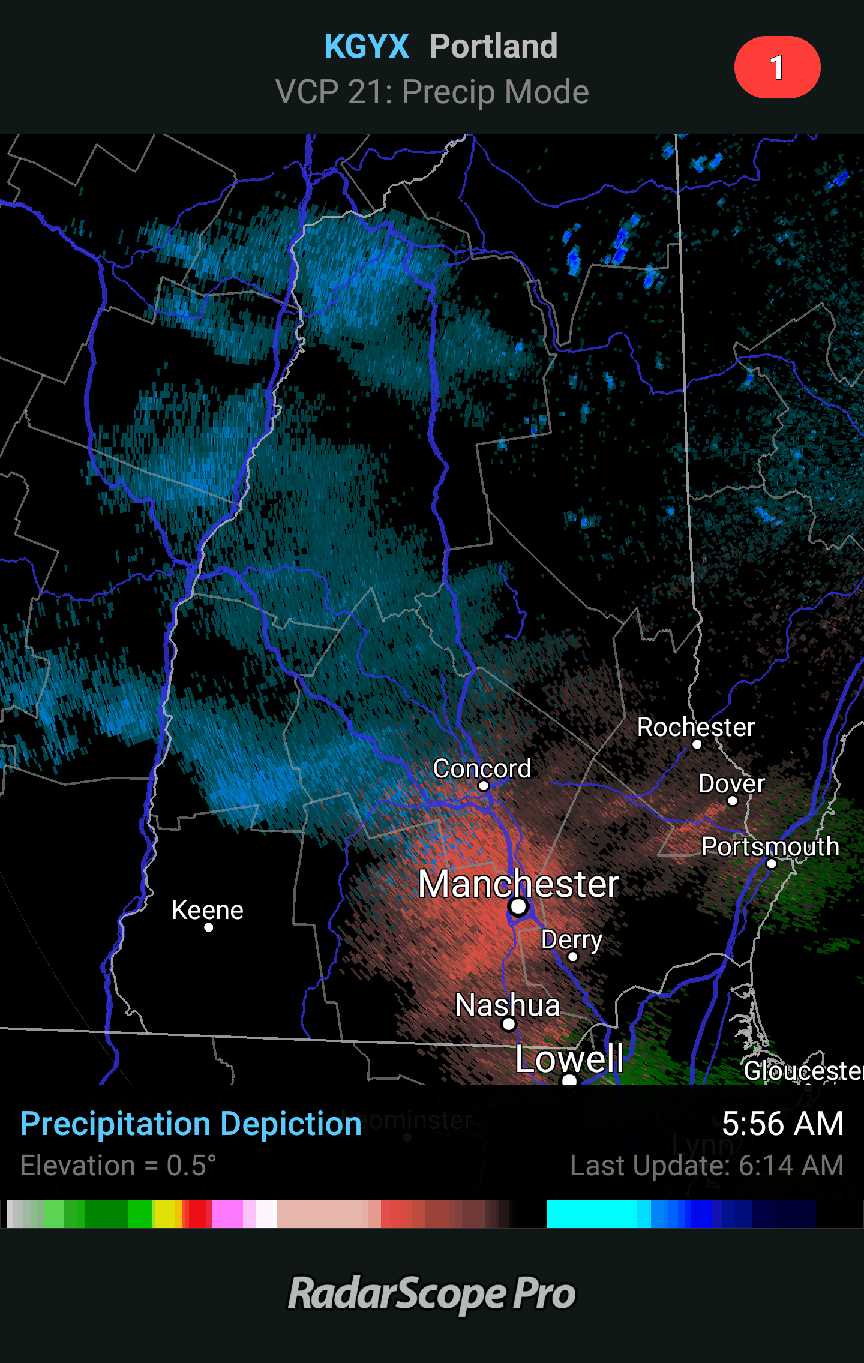
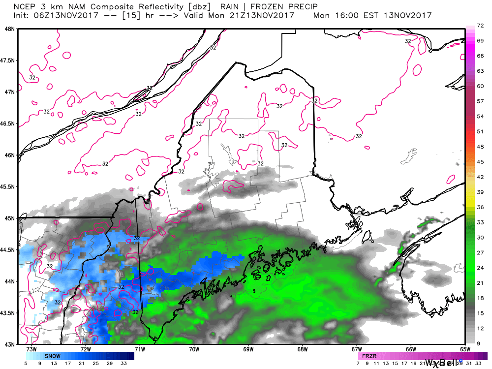
There is some light snow in New Hampshire this morning, but most of the steadier precipitation is going to miss the region. This is what I like to call a marginal event. The further north you are from Portland the lower the chances you see anything.
WHEN AND HOW MUCH?
Any snow today is a nuisance event with some accumulation possible this evening on grassy surfaces or the top of your car over the interior area. The snow line runs roughly from southern York County to the interior areas back from the coastline north of Rockland. It may look quite wintry briefly, but don’t worry – this isn’t a snowstorm or even close. The window with the highest chance of precipitation is small and will be between about 3 and 7 p.m. There could be some spotty stuff earlier.
The hires model I use keeps nearly all the precipitation south of Portland this evening, but other models bring it up to the capitol district. When you have conflicting information in a short distance it’s best to mention both scenarios: we could see some rain and snow this afternoon, but it’s not a sure bet.
Drier weather returns for Tuesday and Wednesday with seasonably chilly air. A fast-moving front brings a few showers Wednesday night and Thursday before it’s back to nice weather for Friday. Sometime during the weekend there will be another storm system bringing a windswept rain with perhaps mountain snow to the region. The timing, amounts and all the other details will be ironed out in the coming days.
You can follow my updates here and on Twitter @growingwisdom.
Comments are no longer available on this story