
It’s a big holiday week and it’s a big week to travel but it’s not a big week for weather. This time of the year can be stormy and we have seen nor’easters with snow and rain in the past.
High pressure is going to remain in control for much of the next 10-day period with limited amounts of rainfall. Any significant snowfall should be confined to the highest of elevations as well as the northmost regions of New England.
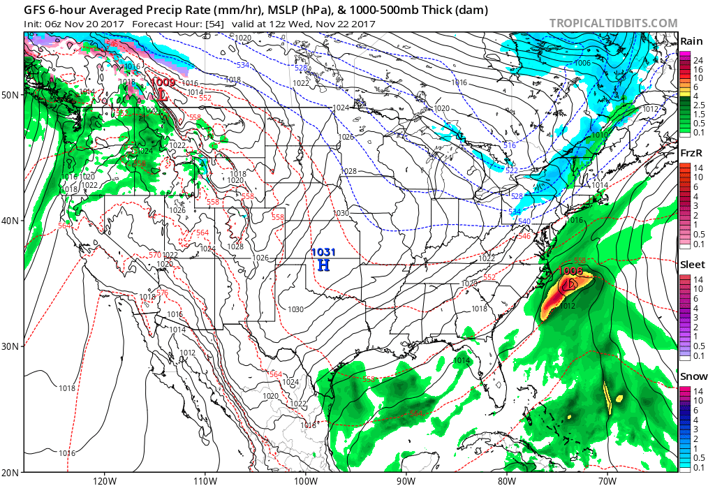
Actually, most of the country will see quiet weather this week. The map for Wednesday morning shows just a few light areas of rain off the West Coast with a cold front bringing some light precipitation to New England.
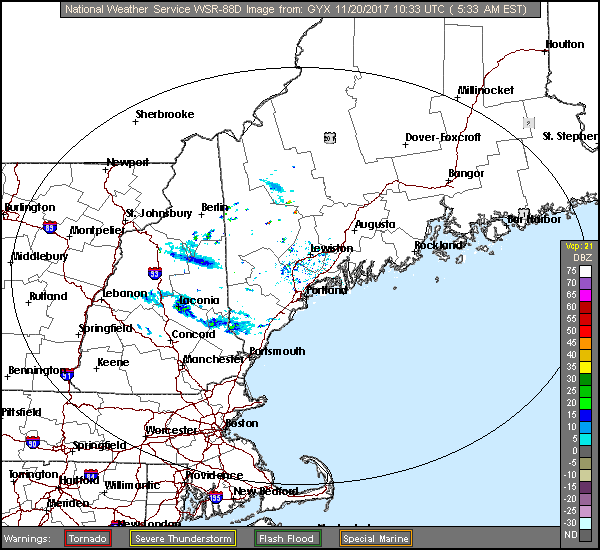
Now while that is the big picture, there are some smaller weather events that will take place over the coming days. This morning we find very cold air traveling over the Great Lakes with lake-effect snow reaching into New England in the form of flurries.
There’s also a bit of energy in the upper atmosphere near us. Therefore, I can’t rule out that some of these snow showers could make it all the way to the coast. Don’t be surprised if you see a few flakes in the air this morning.
High pressure slips to our south tomorrow and the return flow of southerly air brings in a much milder day. Temperatures will reach for the 50s, but this is just a brief warmup. It will be a good day to do some outdoor work and if you are not working this week, Tuesday’s warmth will be an opportunity to put up some Christmas lights or just do more raking.
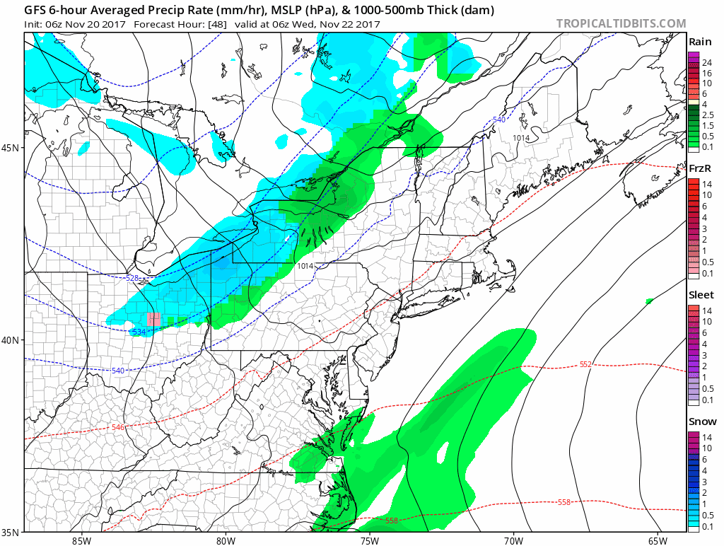
As a cold front approaches Tuesday night and Wednesday there will be a few showers. Some moisture will also try to move up from the south along this frontal system to enhance the shower activity, but the models all agree this won’t reach into Maine. You should expect wet roads Wednesday morning, especially along the coast. Over the highest elevations there may be a few snow showers with some light accumulation possible, but nothing significant.
Dry and chilly weather returns for Thanksgiving with the next small chance of showers sometime Saturday. Before those showers arrive once again we’ll see a brief warmup, but not lasting very long. As of now, travel conditions for Sunday look dry.
Sunsets are getting earlier and earlier, but there’s some good news: The absolute earliest sunset of the year occurs Dec. 9, and after that we slowly start gaining a few seconds of time in the afternoon. However, the loss of sunlight in the morning continues through early January, so morning folks will need to wait until the closing days of that month before they see the sun come up before 7 a.m again.
Follow Dave Epstein on Twitter @growingwisdom
Comments are no longer available on this story