
The South Portland Comprehensive Plan Committee approved its version of the document last week. The proposal will go before the City Council for a public hearing on April 21, and if approved, will be submitted for state review.
What is the purpose of a comprehensive plan?
A comprehensive plan is a long-term guide for city policy and growth for the next 15 years.
Committee members, including residents, elected officials and city staff, have met for three years to craft a vision for the future of the city.
The committee compiled and reviewed comments that community members left on the draft plan, and spent February and March revising and updating.
What are some of the city’s main goals for the future?
Committee members identified several key areas: promoting intentional and balanced growth with economic transformation, increasing housing and sustainable transportation options and working toward climate resilience and environmental stewardship.
How is the city promoting growth and economic transformation in this plan?
Commercial growth would occur throughout the city.
“That doesn’t mean every street is going to become a storefront,” City Planner Milan Nevajda said. “But most of our corridors are going to be given a little bit more leeway and capacity to build on and do more for the community.”
Higher traffic roads like Broadway, Ocean Street and Cottage Road would see more flexible zoning to support economic development.
Downtown Mill Creek has been identified as a spot for growth, with the opportunity for more multi-story, mixed-use development.
The western part of the city near the Maine Mall also has potential for commercial and residential growth, Nevajda said. There are a number of vacant parcels, and the comprehensive plan calls for flexible land use to promote significant investment.
“We’re basically trying to create another downtown,” he said.
What’s the city’s plan to address housing needs?
The median home price rose 56% from 2015 to 2021, from $256,704 to $400,000, adjusting for inflation, according to MaineHousing data. Rental costs have also increased: In 2012, the median gross rent was $980. In 2021, it was $1,465, a 49% increase.
South Portland needs more housing for all income levels, according to the 2022 city assessment. Housing demand averages 54 year-round units per year. That’s double the average number of vacant units per year — 27.
The city is willing to get creative to meet these needs, although what that housing looks like will depend on the area.
“All neighborhoods have to contribute to the housing solution.” Nevajda said. “Nobody gets a pass.”
Areas on the western side of the city, including the West End Business Park, Sable Oaks Golf Course and Maine Mall, have been identified as locations for future housing stock, including multi-family builds.
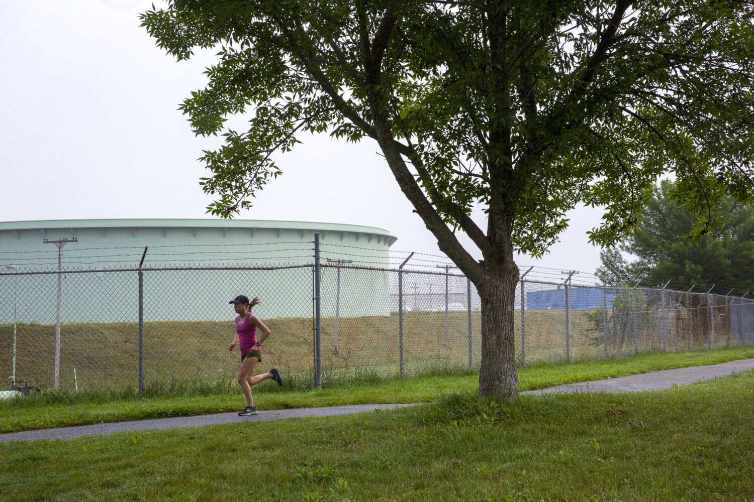
Two areas that could have residential zoning in the future— Nutter Hill and the eastern waterfront — are currently home to petroleum tanks.
Both of these areas include parcels owned by the Portland Pipe Line Corp., a subsidiary of the Canadian oil company Suncor. But Nevajda said that the city can use the comprehensive plan as a way to set the city’s intentions.
The 100-acre tank farm in the middle of the Nutter Hill neighborhood could become a walkable neighborhood complete with a high-density core, green space and a lower-density periphery, SMRT Architects imagined in a community forum last April.
What is the city’s plan for transportation?
The city wants to expand safe and reliable multi-modal transportation networks by 2040.
It plans to enhance and expand off-street pathways, like the Greenbelt, to make it easier for residents to get across the city by bike or on foot. New land use regulations stipulate that developers will have to incorporate pedestrian and bike paths into their plans, and the city will also explore ways to bring more paths to the western part of the city.
The city will also be conducting roundabout feasibility studies for a number of known bottlenecks, like Cash Corner and the intersection of Sawyer and Broadway, and is requesting a bike and pedestrian master plan to look into ways to make intersections safer.
The city will have a traffic impact fee — assessed based on the stress that new developments will place on existing infrastructure — that will help fund intersection improvements.
The city is also interested in improving public transportation access by exploring potential bus route expansion and optimization as well as adding stops to parts of the city that can expect higher density.
How is the city planning for climate change impacts?
The plan also proposes making South Portland a “climate-ready city” by 2040.
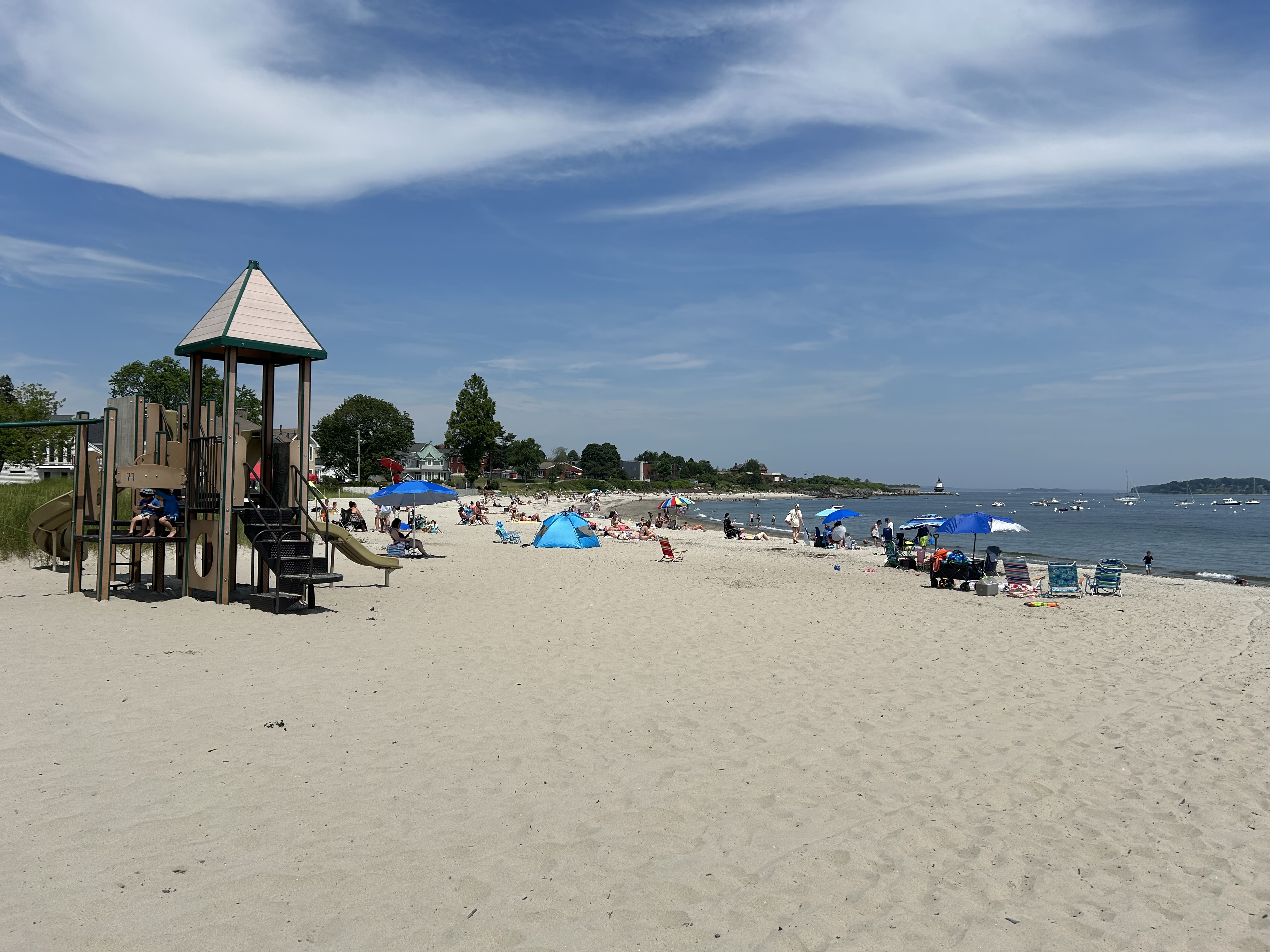
The sea level in Maine is projected to rise 1.1 to 3.2 feet by 2050 and 3 to 9.3 feet by 2100, increasing the risks of coastal flooding. By 2050, parts of Willard Beach and Ferry Village are expected to flood during 10-year storms.
The plan proposes creating coastal resilience overlay zones that will dictate how future development will be built in at-risk areas. The building requirements would differ depending on land use.
“If you have a parking garage, you probably have to do very minimal things in order to operate in a flood-risk area,” Nevajda said. “But if you had a hospital or some other community-sensitive use, like large amounts of housing, you’ll have to prepare differently, and generally that means raising up the bottom floor so it’s higher than the water levels.”
The plan stipulates that new development must minimize risk from at least 3.9 feet of sea level rise, plus a 100-year storm, or an extreme weather event with a 1% chance of occuring each year. For critical infrastructure and services like police and fire stations and sewage infrastructure, new builds or significant renovations must take into account 8.8 feet of sea level rise, plus a 100-year storm.
“Not all decisions are down-the-road king of decisions,” Nevajda said. “Some are really near-term.”
In particularly high risk areas like Willard Beach and Ferry Village, the plan recommends suppressed development and in certain areas, voluntary relocation inland.
Near Willard Beach, the city is potentially exploring a transfer-of-development-rights ordinance. If someone with waterfront property has a friend or neighbor who lives on a double lot farther inland that wasn’t necessarily zoned for the construction of another home, they would be able to put another house on the property because they’re relocating a house from a very at-risk area.
“It’s got to be a perfect scenario,” Nevajda said. “You have to have some connections, a willingness to have someone build a house on their property, the means to build the house and the ability to sell the property.”
Nevajda said that in the future, the city could consider an advocacy program reaching out to owners of double lots to see if they would be willing to help out neighbors in flood zones.
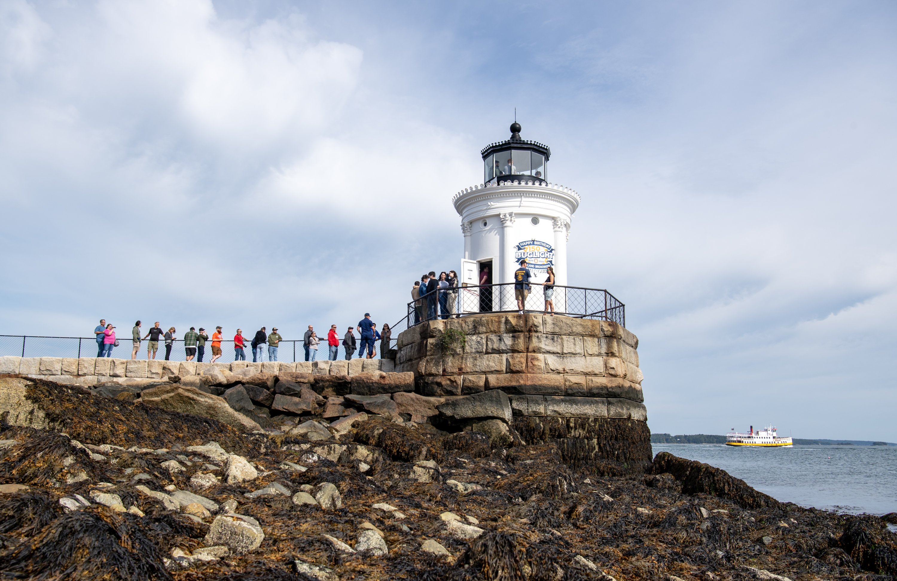
What’s happening at the eastern waterfront near Bug Light?
The eastern waterfront, or the area between Front Street, Preble Street, Bug Light Park and the water, is recommended for rezoning, with residential use permitted in land not directly touching the water.
The plan for the area involves lower density use closer to the shore and higher density farther inland. Developers along the Fore River on either side of the zone are allowed to build to a maximum of three stories, with no residential.
Moving away from the water, the height limit increases to three, four and five stories, and residential is permitted. The section of land owned by the Portland Pipe Line Corp. — including two tanks and an adjacent vacant field — could support buildings up to six stories.
Some community members have been adamantly against any residential development near Bug Light, citing environmental and traffic concerns. Sea level rise could inundate this area in the future, and it’s near petroleum tanks.
Barbara Dee, a South Portland resident, proposed converting 30 acres near Bug Light into a national monument or state park, preserving both the green space and the historical legacy of the area.
More than 100 families in Cushing’s Point lost their homes to make way for the Liberty Shipyard there during World War II, which produced hundreds of ships for the war effort.
The park would honor that sacrifice while preserving an open green space by the water, Dee said.
We invite you to add your comments. We encourage a thoughtful exchange of ideas and information on this website. By joining the conversation, you are agreeing to our commenting policy and terms of use. More information is found on our FAQs. You can update your screen name on the member's center.
Comments are managed by our staff during regular business hours Monday through Friday as well as limited hours on Saturday and Sunday. Comments held for moderation outside of those hours may take longer to approve.
Join the Conversation
Please sign into your Press Herald account to participate in conversations below. If you do not have an account, you can subscribe here. Questions? Please see our FAQs.