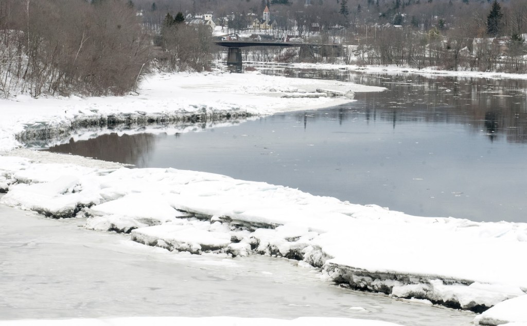
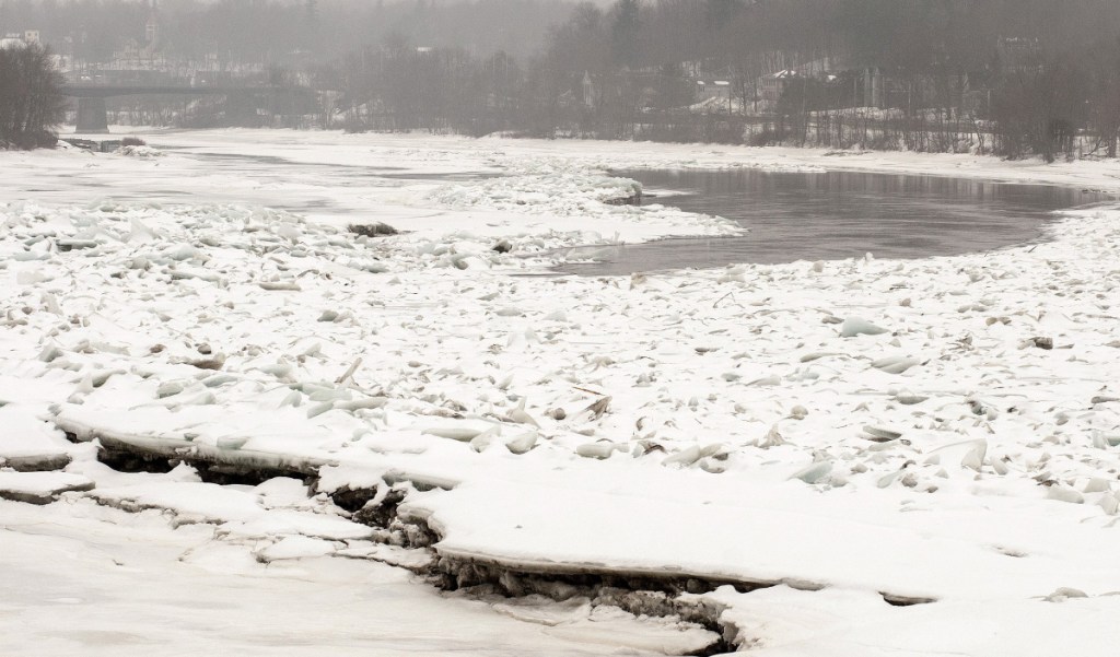
AUGUSTA — The ice jam on the Kennebec River that formed about two months ago south of Augusta has broken up, and the river’s main channel is open.
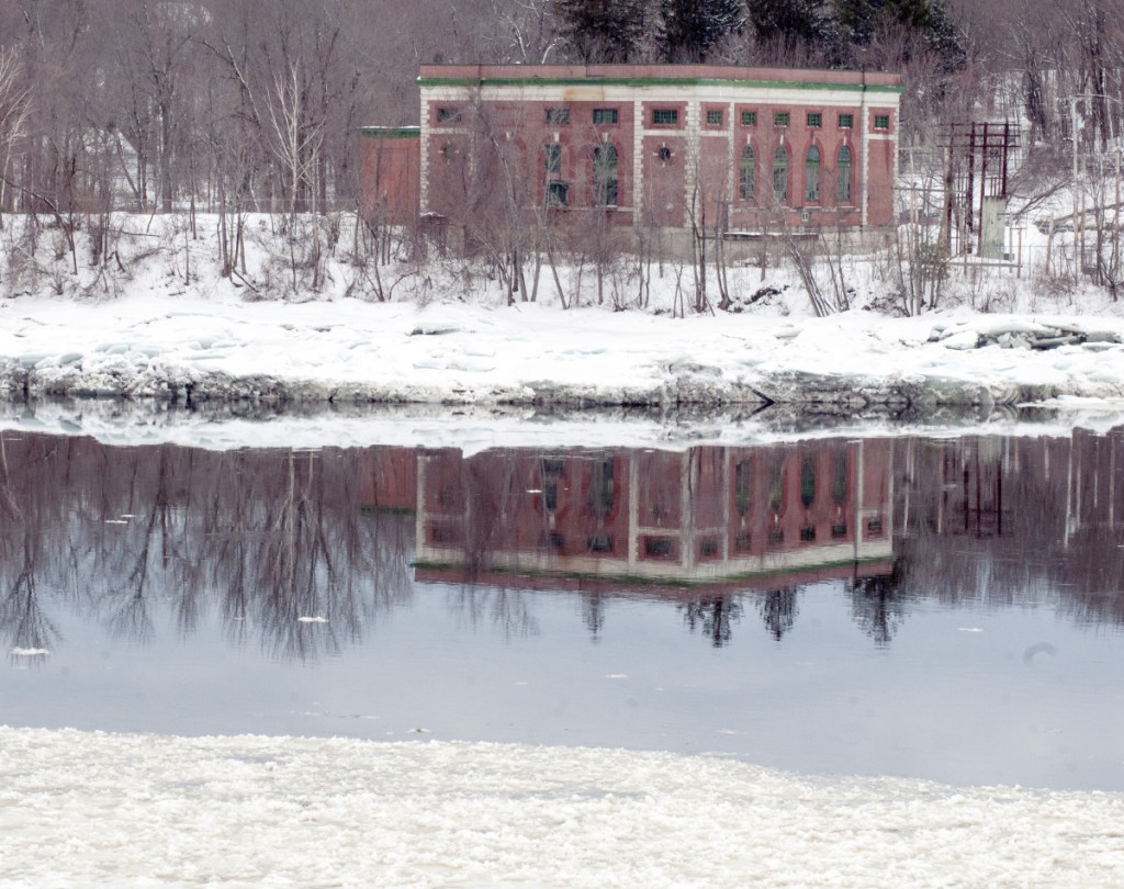
An update issued Friday by the Kennebec County Emergency Management Agency noted that the breakup happened Thursday, and the chunks of ice that had been stuck at Hallowell and Farmingdale were flowing down river to the Maine Kennebec Bridge, which connects Dresden and Richmond.
“I saw some big chunks go early,” Sean Goodwin, Kennebec County Emergency Management Agency director, said Friday.
“There’s still quite a bit of ice along the banks of the river, but there’s no jam. We’re pleased, and I am sure the all the landowners along the river are pleased and the Gardiner officials and the Hallowell officials are pleased.”
The jam, which formed in mid-January, caused destructive flooding along the waterfront in Hallowell and prompted the closure of Augusta’s downtown waterfront parking for several days.
Concern over the ice jam prompted state emergency management officials to send two requests for ice-breaking operations to the U.S. Coast Guard on the Kennebec River.
The first, in January, was halted after the ice around Richmond proved too thick. The second, which started at the end of February, was a success, with ice-breaking vessels traveling as far north as Gardiner to clear ice on the river.
While the ice jam was north of Gardiner, the concern was opening a channel to give the chunks and slabs of ice in the jam a path to flow.
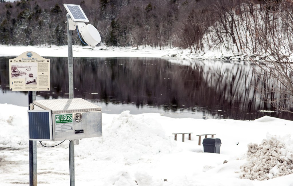
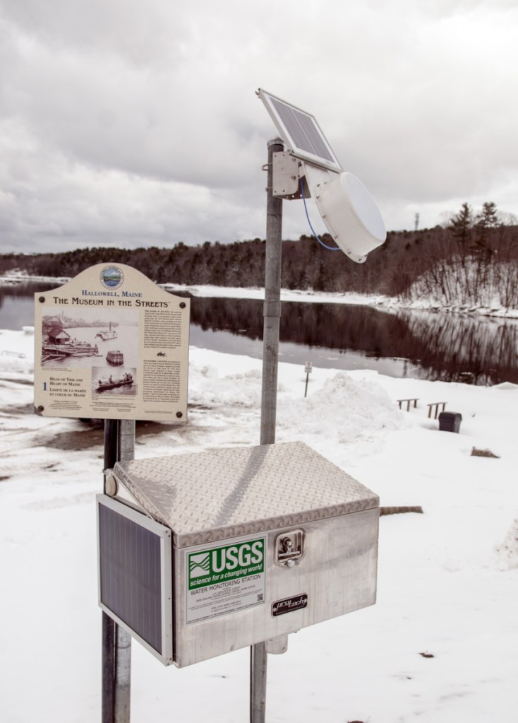
The U.S. Geological Survey, which monitors the flow of the Kennebec River and publishes flow data on its website, installed a monitoring gauge at the end of February at the bulkhead at the north end of Hallowell’s waterfront in direct response to the mid-winter flooding.
Nick Stasulis, data section chief at the USGS New England Water Science Center, said the stage-only gauge will provide information specific to Hallowell — which was identified as a “gap in the data.”
“They have relied on using data from Augusta or Gardiner,” Stasulis said.
But with the ice jam in place, he said, water flow derived from those other gauges was unreliable.
When ice jams form, they can extend below the river’s surface and impede the river flow downstream and the tidal flow upstream.
Because the ground is still frozen, Stasulis said, the installation is only temporary. Its permanent placement will take place later this year.
Send questions/comments to the editors.



Success. Please wait for the page to reload. If the page does not reload within 5 seconds, please refresh the page.
Enter your email and password to access comments.
Hi, to comment on stories you must . This profile is in addition to your subscription and website login.
Already have a commenting profile? .
Invalid username/password.
Please check your email to confirm and complete your registration.
Only subscribers are eligible to post comments. Please subscribe or login first for digital access. Here’s why.
Use the form below to reset your password. When you've submitted your account email, we will send an email with a reset code.