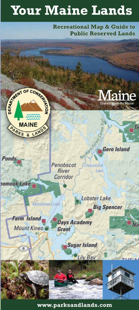
The Maine Bureau of Parks and Lands has released a new publication certain to be of interest to hikers, backpackers, campers and other outdoor enthusiasts looking for serious adventure.
“Your Maine Lands: Recreational Map & Guide to Public Reserved Lands” is a comprehensive guide to state-owned wild areas.
The map highlights public lands by official state tourism region, provides a detailed description of each and indicates the many recreational activities available.
In addition to 48 state parks and historic sites, the bureau manages close to 600,000 acres of public reserved lands for multiple uses, including recreation, wildlife habitat, forest products and protection of unique natural and cultural resources.
These lands are organized into 29 units that range in size from 500 acres to more than 43,000 acres, and include a number of smaller, scattered parcels.
The map is an offshoot of the book of the same name published in 2008. “Your Maine Lands: Reflections of a Maine Guide,” a series of colorful essays authored by veteran outdoorsman Tom Hanrahan, was designed to draw more attention to the extensive, but little known, public reserved lands.
“From Deboullie to Nahmakanta to Cutler Coast, Scraggly Lake to Duck Lake and the Unknowns, Maine provides a diverse offering of public lands. Just about any recreational activity you can think of is available and few activities are not allowed. You can hunt and fish and tent and hike and canoe and go bird watching,” writes Hanrahan.
The wealth of outdoor opportunities and scenic beauty is astounding, indeed, and the new map provides a much needed geographic context to these precious resources.
“A lot of people want to use these lands,” said Rex Turner, outdoor recreation planner with the bureau. “But they often don’t know where they are or even that they exist.”
In contrast to most state parks, which have staff on hand and amenities like potable water, flush toilets, hot showers, numbered campsites and the like, public reserved lands offer a more primitive outdoor experience.
For starters, they can be very remote, often requiring extensive travel on gravel roads. Once there, you won’t find a ranger station or visitor center or anyone to greet you, just a sign and a simple campsite with a picnic table, fire ring and privy (but not always). Strap on your pack and hike into the back country and you’re likely to have the trails mostly to yourself.
“It’s really more of an on-your-own type of experience,” explained Turner. “Visitors should have basic outdoor skills and know how to navigate in remote settings.”
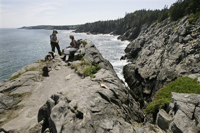
Some of the more recognized and popular public reserved lands include the high mountain peaks of Bigelow Preserve, Tumbledown and Mahoosuc, and the rugged cliffs and pounding surf of Cutler Coast, all of which offer incredible day hiking and backpacking on miles of foot paths.
Lesser-visited gems for hiking and camping are Little Moose near Moosehead Lake, Nahmakanta in the 100-Mile Wilderness between Monson and Baxter State Park, and Deboullie in north-central Aroostook County.
Spread the map out and scan the length and breadth of the state for other public reserved lands that catch your imagination.
Then mark your calendar, and come spring, summer and fall, plan on spending a few days, several weekends or a week or more really getting out there and exploring the treasures in our own backyard.
No fees are charged for using public reserved lands, except where they are managed cooperatively with private landowners or managers, such as North Maine Woods and the KI-Jo Mary Multiple Use Forest.
The bureau is responsible for maintaining 326 campsites, 150 miles of hiking trails, 35 trailered and hand-carry boat launches and 130 miles of public access roads.
Recreational uses on public reserved lands are managed entirely with funds derived from sustainable forestry operations on these same lands, which provide marketable wood products and jobs for the local economy.
Over the last 20 years or so, the acquisition of public reserved lands has been made possible through the Land for Maine’s Future Program and the Forest Legacy Program, which together have generated $172 million to help with the purchase, in fee or easement, of 1,185,000 acres, much of it now managed as public land.
Carey Kish of Bowdoin is a freelance writer and avid hiker. Send comments and hike suggestions to:
MaineOutdoors@aol.com
Send questions/comments to the editors.


Success. Please wait for the page to reload. If the page does not reload within 5 seconds, please refresh the page.
Enter your email and password to access comments.
Hi, to comment on stories you must . This profile is in addition to your subscription and website login.
Already have a commenting profile? .
Invalid username/password.
Please check your email to confirm and complete your registration.
Only subscribers are eligible to post comments. Please subscribe or login first for digital access. Here’s why.
Use the form below to reset your password. When you've submitted your account email, we will send an email with a reset code.