The Appalachian Trail north of Damascus, Virginia, follows a portion of the Virginia Creeper Trail, a popular 35-mile rail trail, before climbing into the high country of grassy bald summits and spruce-fir forests of the Mount Rogers National Recreation Area, which contains 5,000 acres of terrain over 4,000 feet in elevation.
At 5,729 feet, heavily forested Mount Rogers is the highest peak in Virginia.
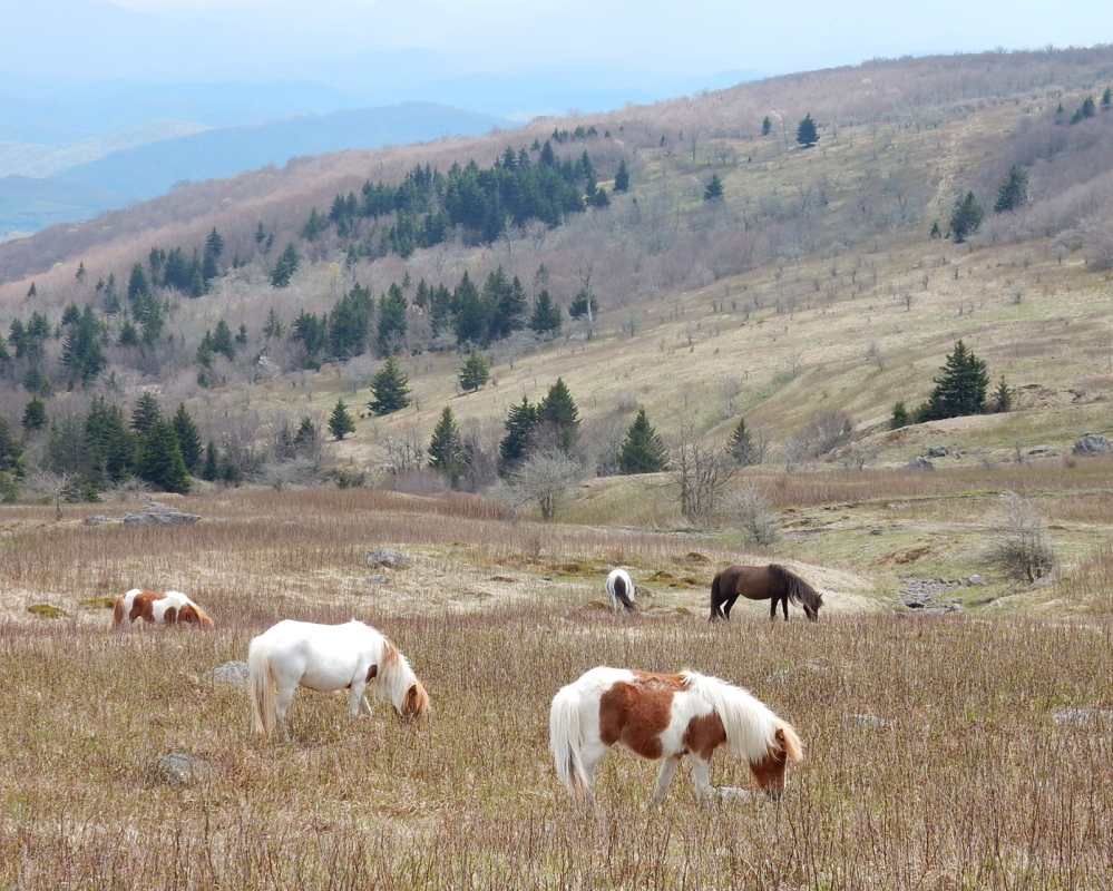
The highlight of this beautiful section of trail, which also includes Grayson Highlands State Park, is the herd of feral ponies, about the size of Shetlands, that roam free amid the amazing mountain scenery. At several points I was able to get close enough to these beautiful animals to get some great photos as well as earn a few thrilling nibbles at my leg.
A short distance behind the Mount Rogers visitor center is one of the most remarkable campsites on the trail, the Partnership Shelter. Attached to the log structure is a shower stall with hot running water. A sink out back, and a clothesline and clean toilet complete this hikers dream. Bonus: Hikers can order pizza for delivery from nearby Marion, and you can bet we did.
Virginia is home to 550 miles or roughly one-quarter of the entire Appalachian Trail, which this year tallies 2,189.2 miles.
In the southwest corner of the state the trail winds through Jefferson National Forest, while in central Virginia it passes through George Washington National Forest. Together these federal lands encompass 1.8 million acres, much of it wilderness.
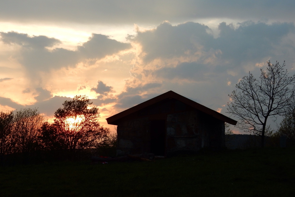
A short hiking day from tiny Atkins, the trail passes the quarter mark on its way to ascending 4,400-foot Chestnut Knob. My trail friends and I reached its summit meadow around 1 p.m. and called it good, all of us intent on enjoying the sunny afternoon and a night in the stone shelter there. We relaxed for hours, drinking in the view over Burke’s Garden, a farming community and valley encircled by mountain ridges and often referred to as God’s Thumbprint.
Nightfall brought a violent thunderstorm, a spectacular display of nature that shook the shelter and kept us awake in our bunks well into the night.
Pearisburg is a tidy little town of 2,800 situated along the New River, a fine spot with all the services needed to rest, refuel and resupply.
My chronic back pain had flared up to the point where I became concerned about the future of the hike, so I sought out a chiropractor in town to address what had become a serious problem. Turns out a rib end had popped out near the T6 vertebra, but once back in place I breathed a big sigh of relief.
A hiker’s primary mode of transportation is their boots, and mine were in pretty rough shape. I felt a little like I was hiking with my check engine light on.
Luckily I was able to find a local cobbler who stitched up my boots for a few bucks, likely extending the life of my Lowas by several hundred miles.
Virginia’s famed “triple crown” of scenic mountain vistas is found in a single 35-mile stretch of the Appalachian Trail west of Roanoke near Catawba.
Dragon’s Tooth is a 35-foot high outcropping of Tuscarora quartzite on Cove Mountain. I climbed to within a few feet of the top of the pinnacle but then lost my nerve.
At Tinker Cliffs, the trail weaves along the precipice for a half-mile, providing many airy moments and a few scary ones.
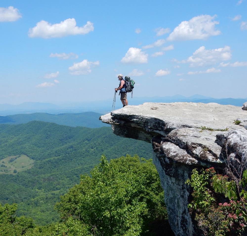
McAfee Knob is one of the most photographed points on the AT, its rock finger jutting out into space and offering an extraordinary lookout. I crept out to the very edge of the broad shelf to get the prized photos, which were graciously snapped by a fellow hiker.
Carey Kish of Mount Desert Island is the author of AMC’s Best Day Hikes Along the Maine Coast. Follow Carey’s AT thru-hike in his Maineiac Outdoors blog at:
mainetoday.com/blog/ maineiac-outdoors
Copy the Story LinkSend questions/comments to the editors.


Success. Please wait for the page to reload. If the page does not reload within 5 seconds, please refresh the page.
Enter your email and password to access comments.
Hi, to comment on stories you must . This profile is in addition to your subscription and website login.
Already have a commenting profile? .
Invalid username/password.
Please check your email to confirm and complete your registration.
Only subscribers are eligible to post comments. Please subscribe or login first for digital access. Here’s why.
Use the form below to reset your password. When you've submitted your account email, we will send an email with a reset code.