

Contributed photo
I’ve a few friends in my mountain cohort who call themselves High-pointers. High-pointers dedicate considerable time and energy to reaching the highest point in each of some selected geographies. It’s a game of sorts, and its adherents say that it leads to all sorts of discoveries, especially of lands they’d never visit without the highpoint prod.
The best-known of these pursuits is the ascent of the high point in each of the 50 U.S. states, which range from a forgettable 345’ mound in Florida to the daunting Denali (20,237-feet) in frigid (or formerly frigid) Alaska. Around here, we have Katahdin (5,267-feet), of course, and to our south in little Rhody, Jerimoth Hill (812-feet).
Perhaps you can imagine how this game could grow, even get a little out of hand (see one of those friends who is midway to sussing out and visiting the high point of every township in New Hampshire).
On a good day, I like to go uphill. But living near the sea often means having to scout for slopes that last more than a minute. Recently, that scouting took me to the far corner of Brunswick, where the land wants to become Durham.
There, on Hacker Road, courtesy of our Parks and Recreation Department, you’ll find a well-maintained parking area, whose far corner offers a trail that leads immediately to an impressive footbridge. It feels as if you are being admitted to an exclusive place.
Once across the bridged wetlands, the trail, two bodies broad and well marked, begins to ease upward. You are on the lower slopes of Cox Pinnacle, said to be the high-point of Brunswick.
On the late August day I visited, the air was autumn clear and the wind was up. It was the sort of day that makes you wonder about a view.
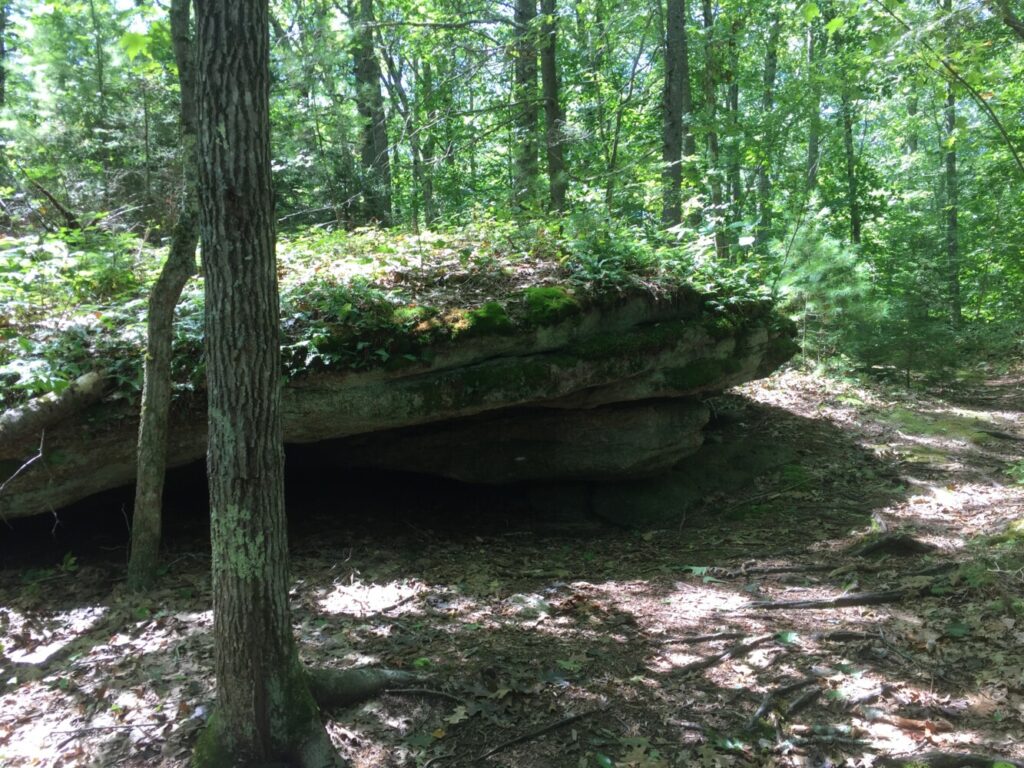
Once upon a past, say a century ago, Cox Pinnacle was said to offer two high points, Mount Washington and Katahdin, as distant scenery. Now, however, this 104-acre public preserve suggests that you look at the trees, their filtered light and the stones poking everywhere through the ground. These woods, once gnawed down to nothing by grazing animals, verge on becoming a mature forest. The canopy has shaded out much of the brush, and each year the tree trunks thicken. In a few decades, these will be Ent-woods.
Even now they quickly give you the feeling of being away. And that joins the mostly gradual but continuous climb to take you up out of town.
Deprived of my mountain habit by the recent no-go times, I was broadly happy to be climbing…even for a short while. Good uphill work is rarely linear; instead a climber meanders a trail, directed by the terrain’s folds and the roots and rocks punctuating the ground.
The best climbing mimes the way water flows, finding always the “weakness” in a slope as it comes down. Try, for example, going uphill after a steady rain and following the evident course of the water’s descent. See if you don’t find yourself flowing up.
That was my experience on the Pinnacle, where I doubled exploration with workout. Running slowly up, I went where water had been. The trail admitted this beautifully.
Cox Pinnacle’s trails are two — a 1-mile lollipop loop that separates to form the “pop” around halfway to the top. You can, if so inclined, circle the “pop” (around a 1/2-mile) any number of times to extend time and distance.
At the top, a short spur climbs the huge embedded stone that must once have summoned the word “pinnacle.” There is even a sheer 20-foot drop-off on one side.
The 2nd trail (also marked by blue-blazed wood markers) departs south just below the summit; a little under a half-mile later it arrives at Durham Road, where there is no parking. There, you could turn left and walk back to Hacker Road, turn left again and regain the parking lot. But there’s little to recommend walking along this relatively high-speed road’s narrow shoulders. Better to return upslope to the stem trail, which takes you back to where you parked.
How high can you go? Estimates vary from 350-to-407-feet, the figure I chose to accept from a mapping program, which also offered my day’s “vert” (vertical feet climbed). With “pop”-loops added, I got 500-feet, the beginnings of a mountain day. I went home from our local high point Pinnacle a little mud-flecked and smiling.
Sandy Stott is a Brunswick, Maine resident, chair of the town’s Conservation Commission, and a member of Brunswick Topsham Land Trust’s Board of Directors. He writes for a variety of publications. His book, Critical Hours — Search and Rescue in the White Mountains, was published by University Press of New England in April, 2018. He may be reached at fsandystott@gmail.com
Comments are not available on this story.
Send questions/comments to the editors.


