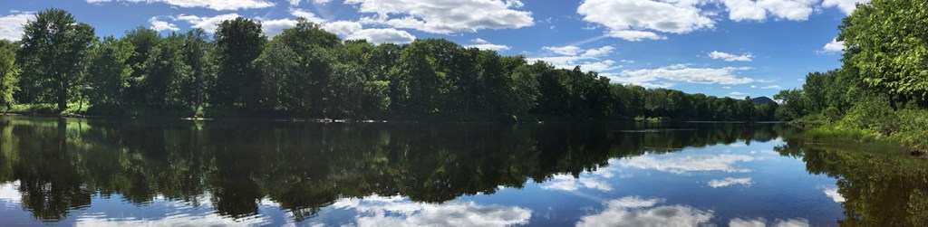
The East Branch of the Penobscot River is among the pristine areas in the Katahdin Woods and Waters National Monument. Monument lands supported extensive logging operations from the time of early Maine statehood.
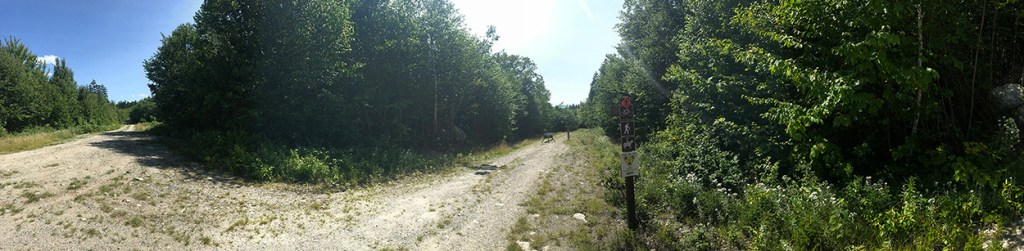
A sign marks a trail head off Katahdin Loop Road. While it’s impossible to say how many people have visited the national monument, more than 2,000 vehicles have passed through the monument’s southern gate, while roughly 1,200 people from 42 states and half a dozen countries have signed visitor logs.
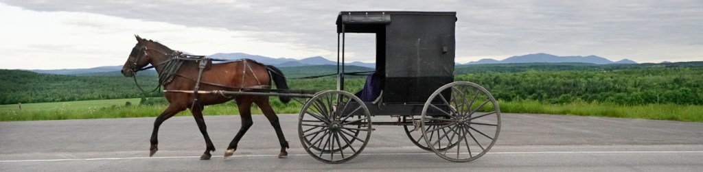
An Amish couple drive their buggy along Route 11 in Patten with a backdrop of Mount Katahdin. Activities allowed in the national monument include canoeing and kayaking, birding, fishing, hiking and mountain biking. Cross country ski trails are groomed in the winter.
The entrance to the national monument has a welcome sign at the start of the 16-mile Katahdin Loop Road. In the year since the designation, Katahdin Woods and Waters has drawn visitors who find their way there despite a lack of signs and who are willing to endure a ride along bumpy roads once they get there.
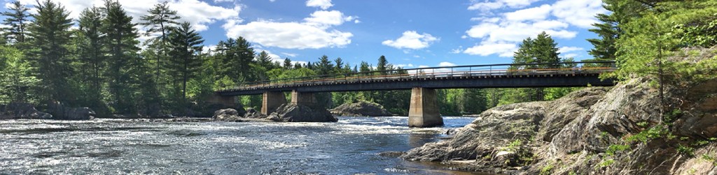
The Whetstone Bridge crosses over the East Branch of the Penobscot River in the national monument. This photo was taken on June 15. The monument encompasses 30 miles of rivers and streams, including waterfalls, and special ecological features.
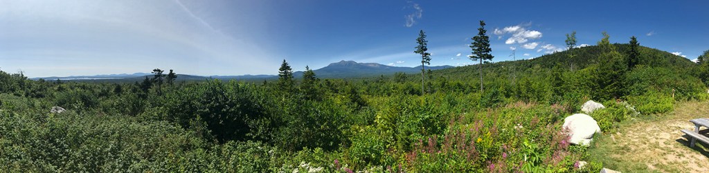
An overlook off Katahdin Loop Road provides a view of Mount Katahdin. Wildlife is in abundance in the national monument, including moose, black bear, deer, eastern coyote and many northern bird species, including the protected northern Spruce Grouse.
