


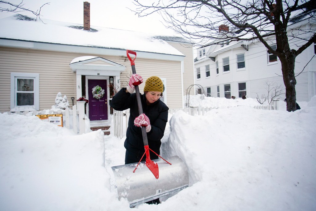
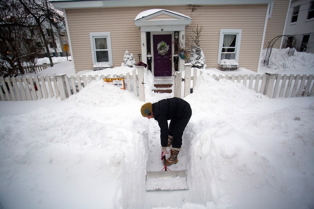

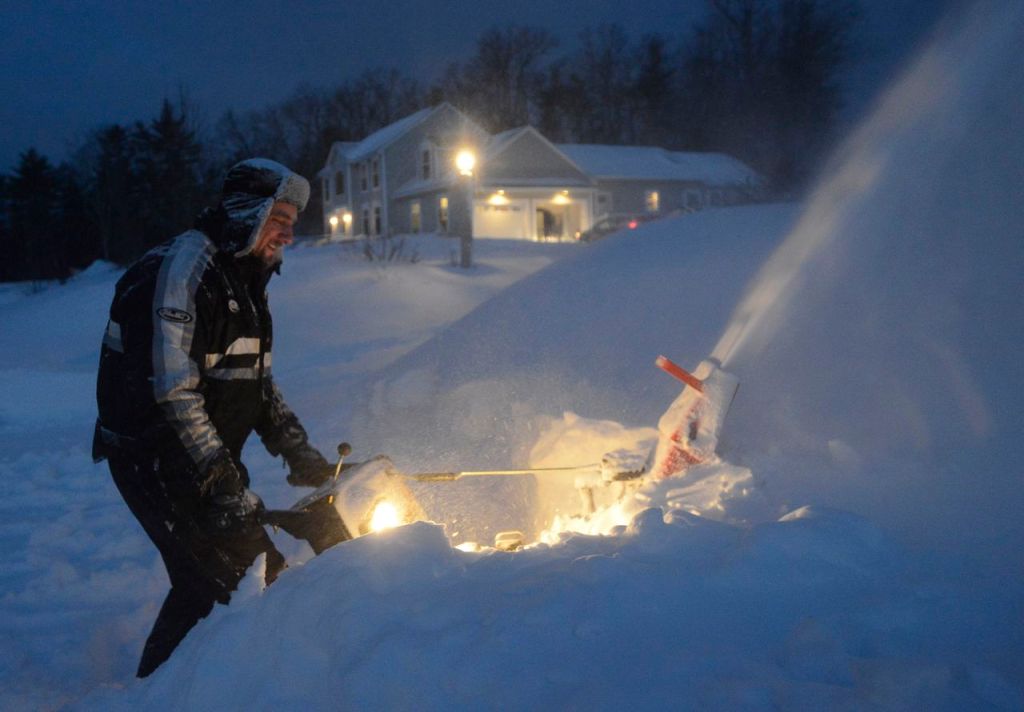

Leave those snow shovels somewhere handy: Tuesday’s blizzard appears to be just a curtain-raiser for more snowy and cold weather in the next week or two.
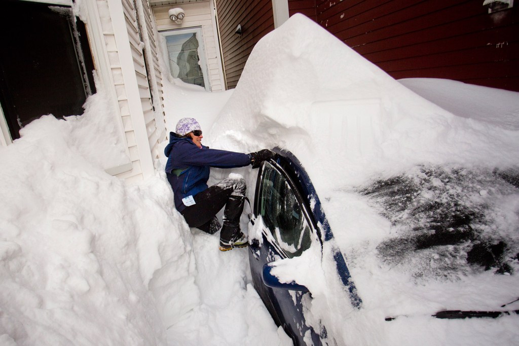
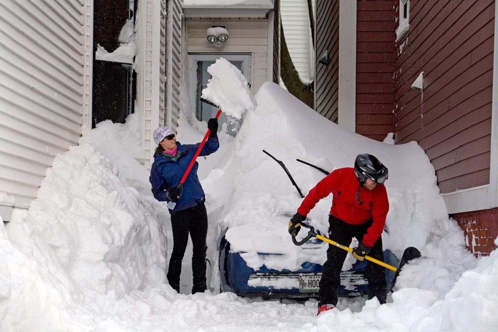
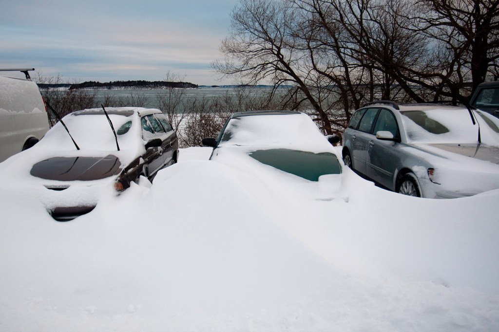
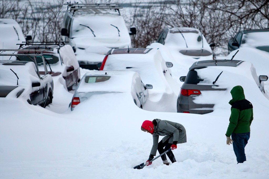
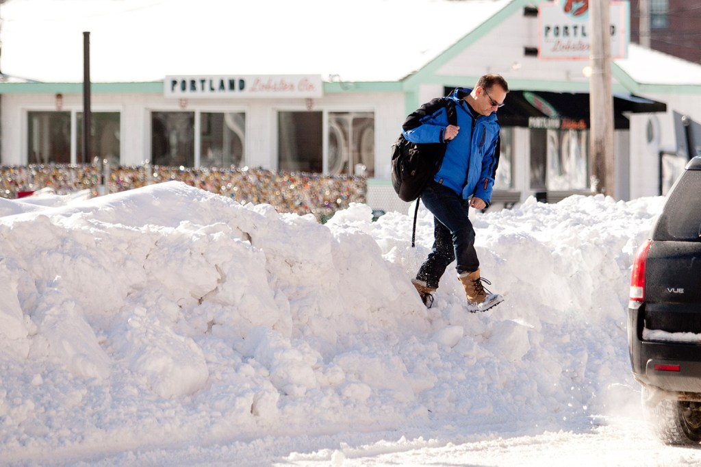
More than 2 feet of snow fell Tuesday in parts of Maine, and high winds created visibility whiteouts and hazardous travel conditions. Periods of snow and blustery winds were expected to continue into Wednesday morning before tapering off.
Photo Gallery
SNOWFALL TOTALS
YORK COUNTY
Sanford – 26 inches
York – 23 inches
Biddeford – 20 inches
CUMBERLAND COUNTY
Portland peninsula – 27.4 inches
Portland (Jetport) – 21.6
Windham – 23 inches
Scarborough – 22 inches
South Portland – 19.7 inches
Bridgton – 19.3 inches
New Gloucester – 19 inches
Pownal – 12.2 inches
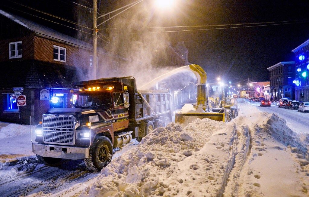
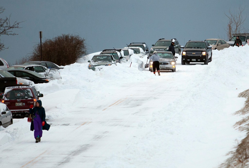
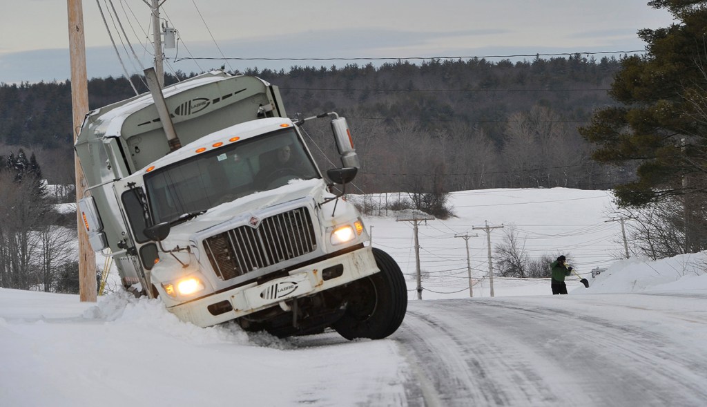
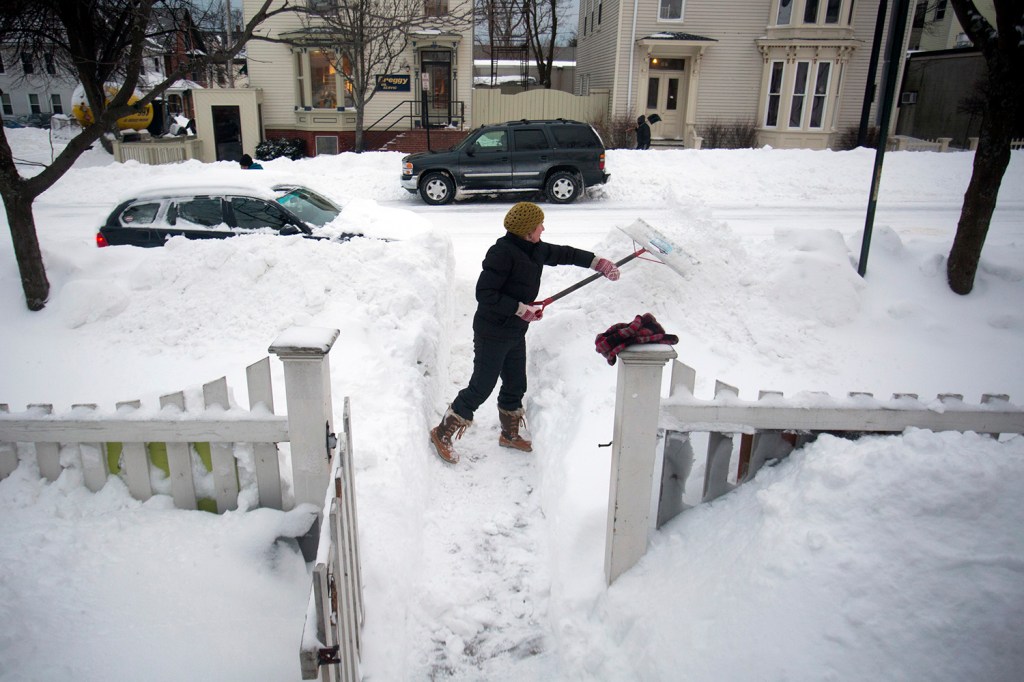
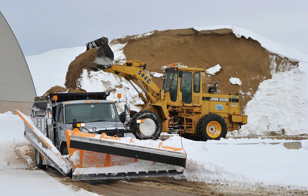
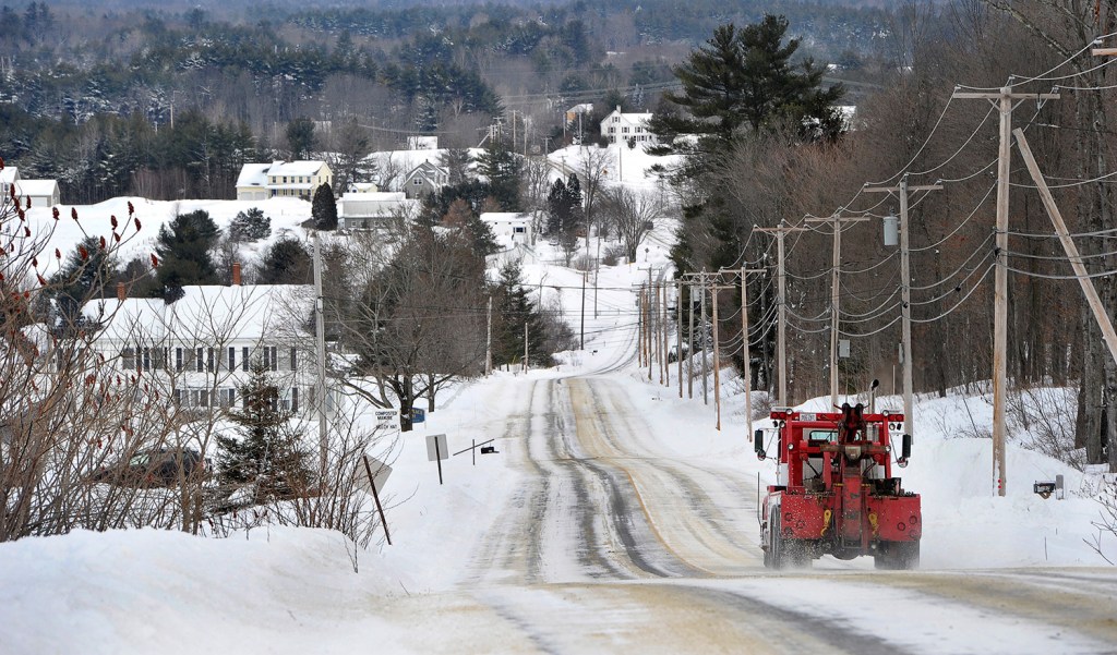
Drivers largely followed the advice of public safety officials and stayed off the roads Tuesday. That allowed plow crews to stay on top of the heavy snowfall during the day, and they were continuing to work overnight to deal with drifting as strong winds shifted the dry, powdery snow.
Scores of school districts called off classes for Wednesday, the second straight day of closures. Towns and cities delayed the opening of municipal offices Wednesday morning, and airline, train and bus systems began to try to rebuild their services in the wake of thousands of cancellations.
The storm was scorned as a bust in New York City, where predictions had called for snow to match amounts that were seen in eastern New England. But only 9.8 inches fell in Central Park, according to the National Weather Service.
In New England, however, the storm delivered: Snowfall totals included 27 inches in Lewiston, 26 inches in Sanford and 27.4 inches on Portland’s East End, and those measurements were taken late Tuesday evening when the snow was still falling at a good clip.
Portland set a record for Jan. 27 with 21.6 inches of snow at the Portland International Jetport, breaking the record of 8.3 inches set in 1963. Nearly every community in southern and eastern Maine topped a foot of snow, and many towns and cities in York and Cumberland counties were at or near 20 inches. Towns in Massachusetts and Connecticut reported more than 30 inches of snow.
MORE STORMS FRIDAY, MONDAY
There’s more on the way.
Clear skies should return by Wednesday afternoon, but then clouds are expected to return late Thursday, with light snow forecast for Friday, said Chris Kimble, a meteorologist with the National Weather Service. Colder temperatures are expected Saturday and Sunday, with high temperatures in the teens and lows near zero.
Then another nor’easter could develop Monday. Although Kimble said it’s too soon to talk snowfall forecasts, he noted that nor’easters often come with more than 6 inches of snow. After that, expect a dose of very low temperatures with highs in the teens – “if we’re lucky,” Kimble said.
In Maine on Tuesday, state offices closed, many business told their employees to take a day off or work from home, and the U.S. Postal Service called off mail delivery and closed post offices for all but the northernmost tip of the state.
EMPTY ROADS AID SNOW REMOVAL
The storm rolled into Maine late Monday night and clobbered the state with snow, winds and even some coastal flooding at Camp Ellis in Saco.
Both the Maine Department of Transportation and the Maine Turnpike Authority said light traffic allowed plow crews to operate efficiently and keep up with snow that fell at 3 to 4 inches an hour at times.
For drivers, staying off the roads was a mix of self-preservation and civic responsibility as winds drove clouds of snow up to 50 mph. Drivers sometimes could barely see the car in front of them and often couldn’t see where the road ended and the snow-covered shoulder began.
“You can’t tell whether you are on the road or off the road. … It is very, very easy to get disoriented,” said Bob Bohlmann, retired director of the York County Emergency Management. A couple dozen cars slid off roads during the morning commute, police said, but fewer on the way home. No injuries were reported.
STORM LIVES UP TO DIRE WARNINGS
For those who did venture out, there was an eerie emptiness to the world, silent but for the sharp hiss of the wind and the occasional grind of a plow scraping pavement.
“Usually they hype a storm and it doesn’t quite live up to it. This one seems to be coming through,” said Ron Gordius, who was hunched against the wind-driven snow as he walked down Congress Street in search of an open coffee shop. Most stores he passed were closed.
Gordius, a building contractor who lives in Portland, had the day off because his work site was snowed in. In spots, the wind had driven the snow into 3-foot drifts and higher.
“I have no plans,” he said. “All plans were washed away when I woke up this morning and saw this. … So far, it’s impressive.”
Gov. Paul LePage declared a state of emergency before dawn Tuesday and ordered all state offices closed for the day.
But he didn’t follow the leads of the governors of Massachusetts, Rhode Island and Connecticut, where driving bans were imposed.
The reason was simple, said Stephen McCausland, spokesman for the Maine Department of Public Safety.
“We’re Maine,” he said.
McCausland isn’t aware of any legal barrier to declaring a ban on driving in the state, but he doesn’t recall a prohibition ever being imposed.
EVEN MAIL DELIVERY SUSPENDED
Despite the lack of a legal ban, McCausland said Maine has weathered the storm well.
“It’s been very manageable,” he said. “For the most part, people have heeded the advice to stay off the roads” and that allowed state and town plows to keep up with the snowfall.
That request surely wasn’t aimed at the Post Office, but the heavy snow led to mail delivery in most of Maine being called off for Tuesday.
Spokeswoman Melissa Lohnes said mail delivery and post office openings were canceled for all of the state except for the area where the zip code begins “047,” which covers far northern Maine.
Lohnes said the decision was made for the safety of postal employees and the public, so people wouldn’t trek out to mailboxes or venture to a post office.
Of course, everyone knows that the unofficial postal motto says “neither snow nor rain …” will stop deliveries, but Lohnes said that’s not a hard-and-fast rule.
“When you get like 3 feet of snow, maybe it doesn’t apply,” she said.
FEW WIDESPREAD POWER OUTAGES
Most of the major school districts in southern Maine called off classes for Wednesday because wind-driven snow was expected to slow the cleanup of sidewalks and many roads. The University of Southern Maine said its Portland and Gorham campuses would open at noon, and the city of Portland said its offices wouldn’t open until 10 a.m. to give public works crews time in the morning to clear streets.
One bright spot in the storm was the lack of widespread power outages.
The fear had been that the high winds would bring down power lines, but for the most part, that didn’t happen.
The number of customers without power varied during the day, but at the height of the storm fewer than 300 Central Maine Power Co. customers were without power. By 9 p.m. that number had jumped to about 1,900, but those were largely concentrated in Isleboro and Northport.
CMP POWER CREWS ON STANDBY
More than 1,000 CMP customers in Lincoln County – primarily in the Waldoboro and Bremen areas – lost electric service earlier Tuesday when several sections of power lines came down in the wind and snow. By around 3 p.m., CMP spokeswoman Gail Rice said the lines had been repaired and power restored. With wind gusts topping 50 mph, power crews were on standby all day Tuesday.
“Not bad,” Rice said when asked how the company was faring with the storm.
Unlike the Thanksgiving snowstorm that brought water-logged snow throughout the region, knocking out power to tens of thousands, Tuesday’s cold temperatures and strong winds meant the snow wasn’t sticking to power lines and tree branches.
Copy the Story LinkSend questions/comments to the editors.

Success. Please wait for the page to reload. If the page does not reload within 5 seconds, please refresh the page.
Enter your email and password to access comments.
Hi, to comment on stories you must . This profile is in addition to your subscription and website login.
Already have a commenting profile? .
Invalid username/password.
Please check your email to confirm and complete your registration.
Only subscribers are eligible to post comments. Please subscribe or login first for digital access. Here’s why.
Use the form below to reset your password. When you've submitted your account email, we will send an email with a reset code.