


There are indications colder and perhaps snowy weather arrives next week, but in the short-term it’s more mild air with a windswept rain this evening.
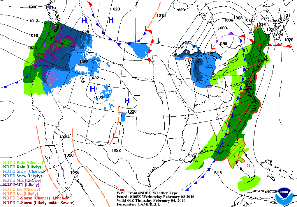
The weather is quite volatile as of late across much of the country and although you are likely enjoying the mild weather, our lack of snow and cold is directly connected to the cold and snow out west.
Wet ride home with some frozen precipitation
Rain does arrive this evening and if you are driving expect wet roads. Interior areas and the mountains will see a period of sleet, snow and rain. The frozen stuff could amount to an inch or two and will be followed by plain rain, even in the higher elevations.

Meteorology is all about forecasting the waves in the atmosphere and different sides of the waves bring very different weather. This week we’ve already seen severe weather and a blizzard all associated with the same weather system. As this storm heads to our west it will force warm and even slightly humid air northward.
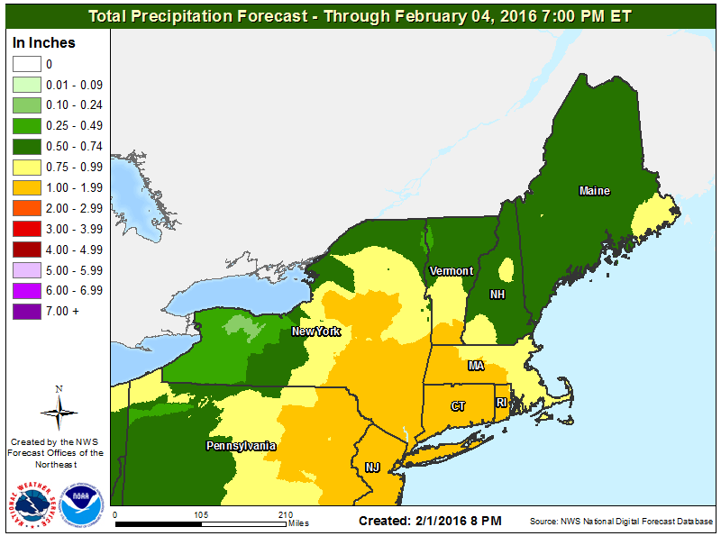
I expect one-half to an inch of rain. The map below shows where the heaviest rain will fall across the region.
Temperatures won’t peak until 11:59 p.m tonight and could exceed 50 degrees. The record high for today in Portland is 59 degree set back in 1991.
As the cold front finally passes off the coast the rain will end and skies will partially clear for tomorrow. It’s going to be another mild day. The cold air will take it’s time moving into the area. This means another day of temperatures at least 10, or perhaps 15, degrees above the average and the feeling of spring.
Friday and the weekend see a return to cooler air, but still won’t be very cold. Highs over the weekend will reach at least 40 degrees along the coast and mid to upper 30s inland to the foothills both days along with plenty of sunshine. A game of winter golf, a run or bike ride would be great ways to pass the time.
So what about snow? We’ve only had about 20 inches of it in Portland and are now over a foot below average. Of course this could be made up in one storm. Last year at this time there had already been about 60 inches of snow in the season, much of that falling in less than two weeks at the end of January and the first couple of days of February.
The chart below shows how quickly snow accumulated at this time last year. There isn’t a line for 2016 because it hasn’t snowed in over two weeks.
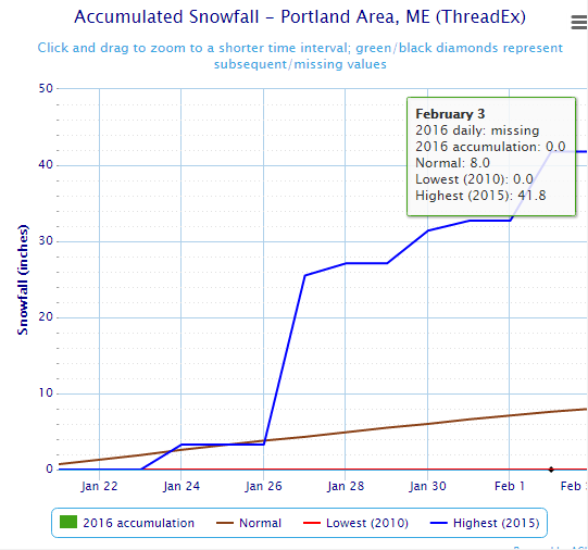
Daily Snowfall January 22nd February 3rd 2015 and averages
Early next week the computer models agree there will be a coastal storm passing to our east. What we don’t know right now is how close this will come to New England and whether it will bring snow or a mixed bag of precipitation.
Send questions/comments to the editors.

Success. Please wait for the page to reload. If the page does not reload within 5 seconds, please refresh the page.
Enter your email and password to access comments.
Hi, to comment on stories you must . This profile is in addition to your subscription and website login.
Already have a commenting profile? .
Invalid username/password.
Please check your email to confirm and complete your registration.
Only subscribers are eligible to post comments. Please subscribe or login first for digital access. Here’s why.
Use the form below to reset your password. When you've submitted your account email, we will send an email with a reset code.