

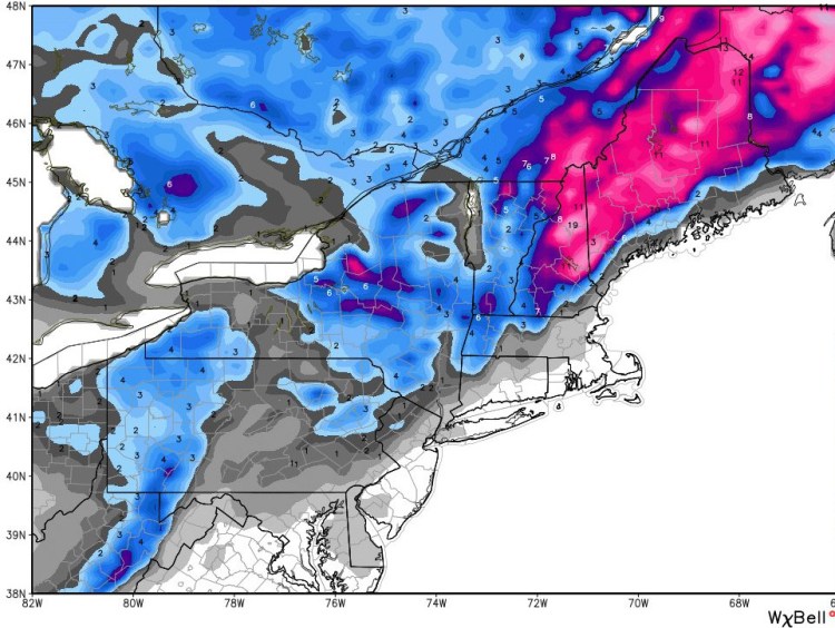
A fast-moving nor’easter could drop up to 10 inches of snow Thursday across the mountains and foothills of western Maine, but warmer weather means the coastline will see a mix of rain and light snow, according to the National Weather Service office in Gray.
“It’s not too bad. We’re used to snow,” weather service meteorologist Stacie Hanes said Monday night.
Higher temperatures mean the snowfall will drop off sharply along the coast, from 6 inches to 2 inches within a few miles of the coast, she said.
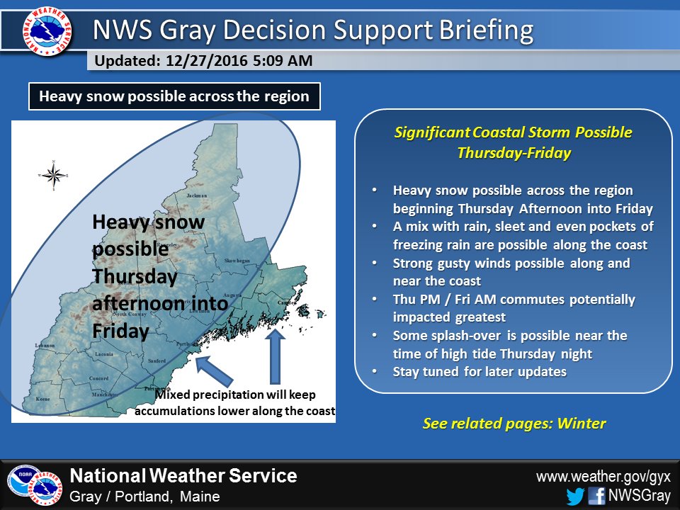
Heavy snow is expected to begin Thursday afternoon. Image courtesy of National Weather Service
Portland is expected to have a high temperature near 37 degrees on Thursday, according to the National Weather Service.
The storm will move in about 6 a.m. Thursday and be mostly gone by Friday, Hanes said.
After that, the extended forecast calls for clear weather until Saturday night, with a chance of snow on New Year’s Eve and on Jan. 1.
The weather is expected to be mostly mild until the snowstorm hits later this week. Some freezing rain was forecast to move in overnight Monday in the Portland area. Skies are expected to clear by midday Tuesday with temperatures in the high 40s. Mostly sunny weather is expected Wednesday with a high near 36 degrees, according to the National Weather Service.
Send questions/comments to the editors.

Success. Please wait for the page to reload. If the page does not reload within 5 seconds, please refresh the page.
Enter your email and password to access comments.
Hi, to comment on stories you must . This profile is in addition to your subscription and website login.
Already have a commenting profile? .
Invalid username/password.
Please check your email to confirm and complete your registration.
Only subscribers are eligible to post comments. Please subscribe or login first for digital access. Here’s why.
Use the form below to reset your password. When you've submitted your account email, we will send an email with a reset code.