


The Appalachian Trail in Maine extends from the New Hampshire border over the crest of the western mountains, across the Kennebec River valley and through the 100-Mile Wilderness to Baxter Park and finishes atop Katahdin. The 282-mile stretch is arguably the most remote, rugged and scenic of the trail’s 14-state, 2,192-mile route that emanates in northern Georgia.
This summer and fall, hikers can sample some the best terrain that Maine’s AT has to offer through a series of fun day hikes organized by the Maine Appalachian Trail Land Trust. Since it was established in 2002, MATLT has helped conserve more than 40,000 acres and protect nearly 28 miles of the AT corridor, including five of Maine’s 4,000-foot peaks.
MATLT’s popular series of what it calls community hikes kicks off in early July and run through late October. Six great hikes are on the calendar now and more will be added. Free and open to the public, but limited to 10 participants, the hikes are meant to accommodate all ability levels. Each is led by a knowledgeable leader and designed to be a fun, social, supportive and educational experience.
“Our mission is to protect the Appalachian Trail region in Maine for the public benefit, but people have to know it’s there” said Simon Rucker, MATLT’s executive director. “The AT is beautiful and sells itself, but you’ve got to get people out on it to help support it.”
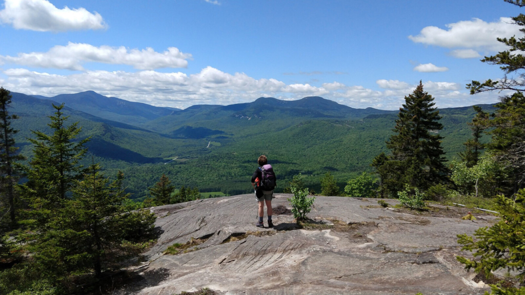
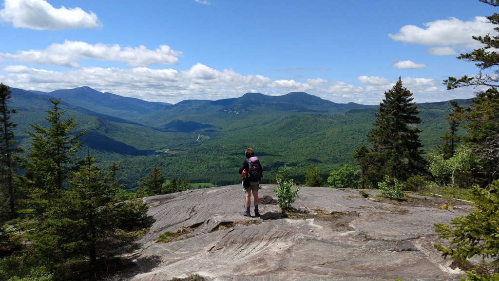
A hiker stops top enjoy the view looking toward Grafton Notch from Puzzle Mountain overlook. Photo courtesy Maine Appalachian
Seven years ago, MATLT determined that there was a public awareness problem with regard to the AT, that a lot of people, including many who lived right near the trail, didn’t know much about the trail or where it went. The AT is remote by nature and linear in structure, an important natural resource that is in many ways hidden in plain sight.
“That’s when we came up with the community hikes idea,” Rucker said. “Ever since, it’s been our best engagement tool, getting both experienced hikers and those new to the sport interested in the AT and energized about our conservation work to better protect it.”
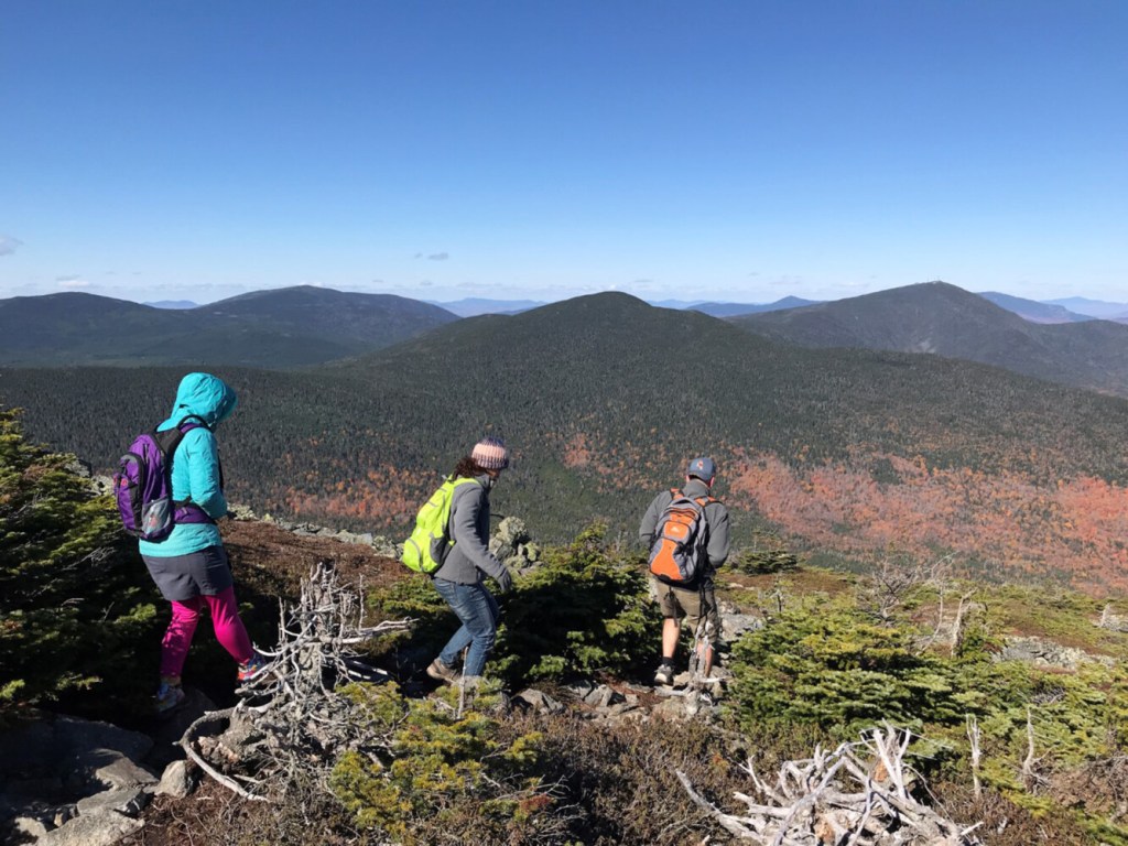
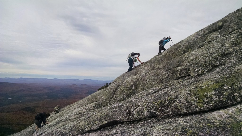
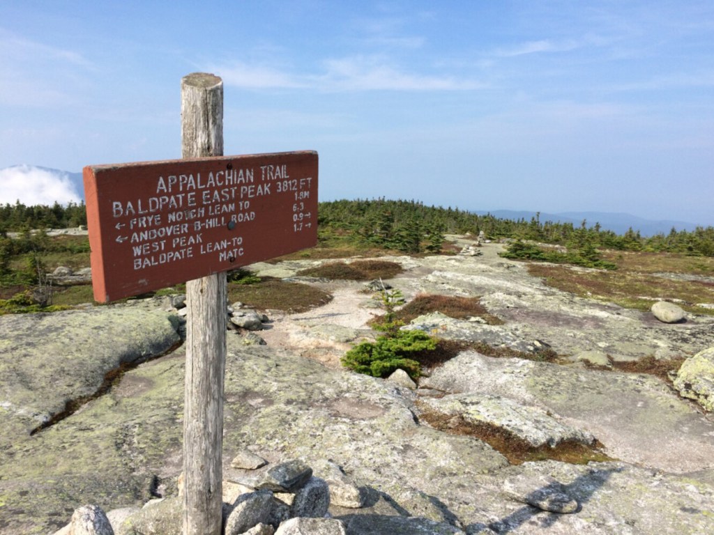
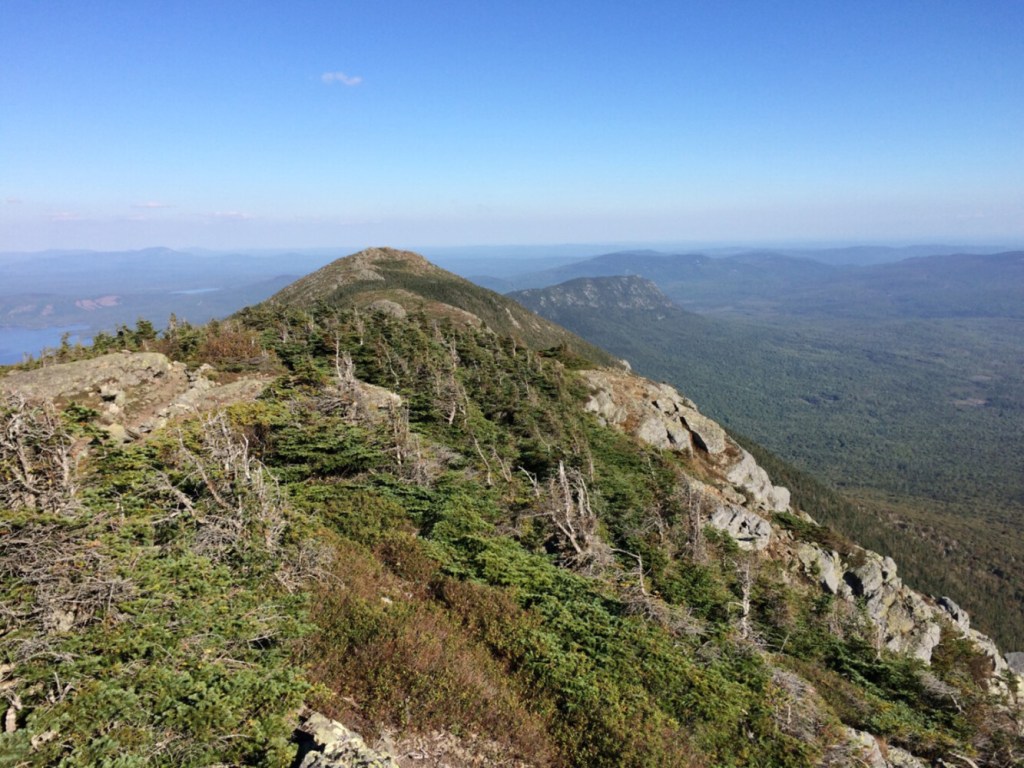
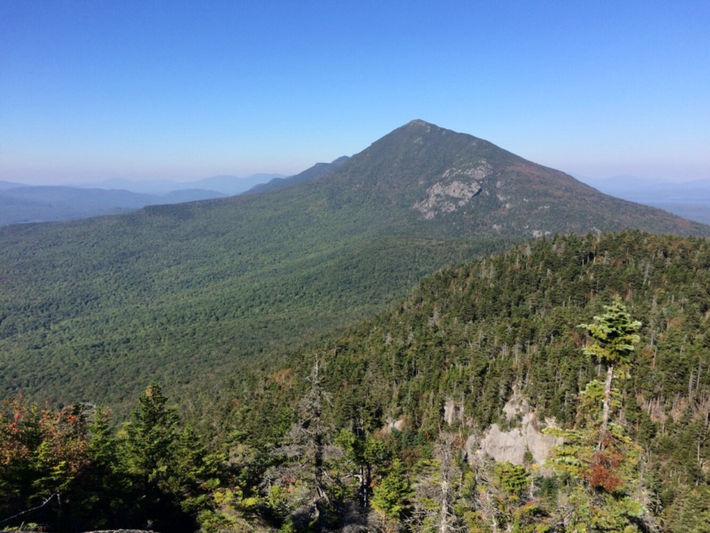
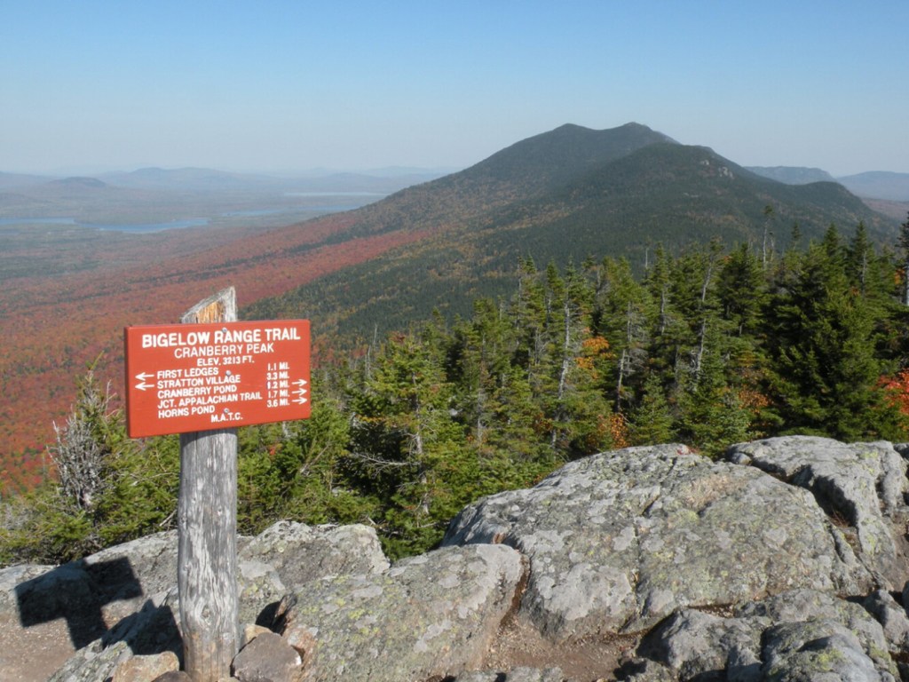
Community hikes on tap so far include Cranberry Peak in the Bigelow Range, Saddleback and The Horn, East and West Baldpate, Little Bigelow and Four Ponds between Route 4 and Route 17 near Rangeley. The series begins, ostensibly, with a hike on Caribou Mountain in Evans Notch, which might have you scratching your head.

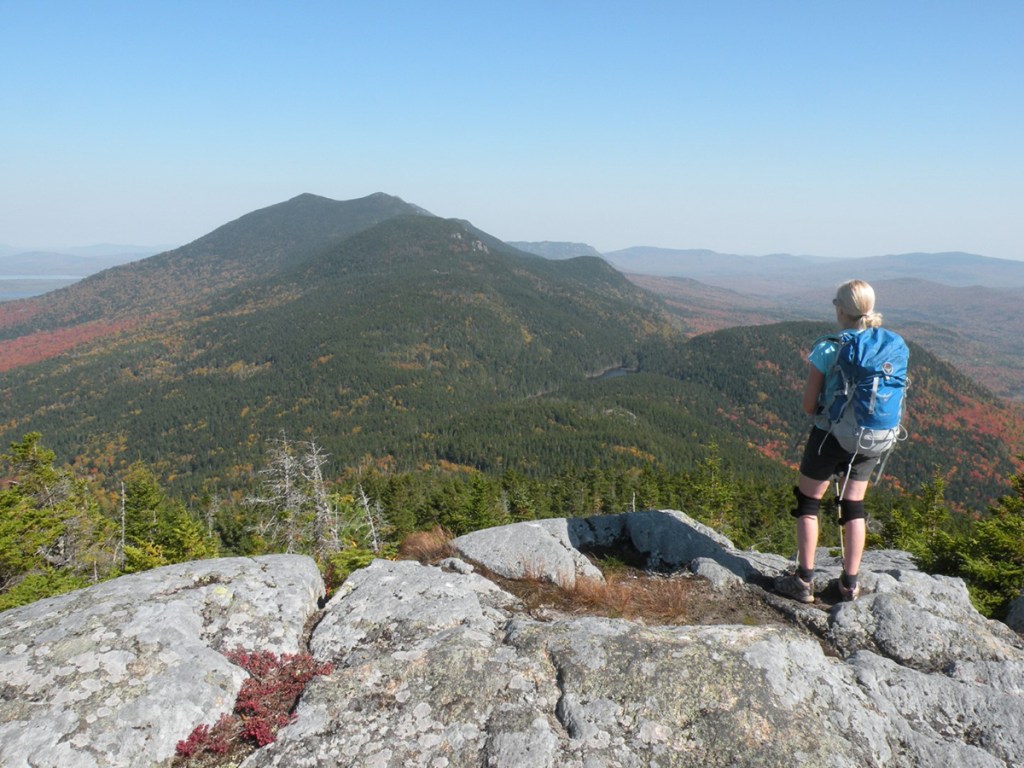
A hiker on the summit of Cranberry Peak enjoys the view of the Bigelow Range. Carey Kish photo
“Caribou isn’t on the AT, but you can see the AT from there,” chuckled Rucker. “It has become our go-to warm-up hike to ease into the season. It’s accessible and lower in elevation but with aspects of terrain similar to what you’ll find along the AT.”
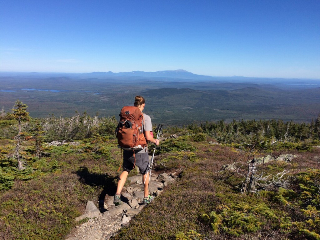
This hiker is registered for the July 31 hike on Berry Pickers Trail to the 4,000-foot summits of Saddleback and The Horn. I’ve been on Saddleback many times over the years, but never on the relatively new (2016) Berry Pickers Trail, so I’m super excited. And I’ve already learned an interesting factoid: that the local berry pickers who used the informal trail for years were after mountain cranberries, not blueberries as I’d assumed. Thanks, Simon. Good AT trivia!
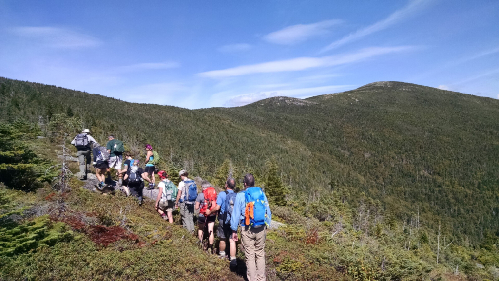
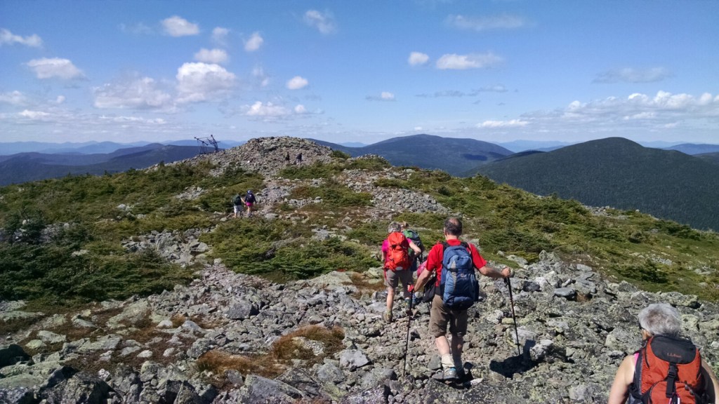
Hikers make their way along the Berry Picker’s Trail with The Horn in background. Photo courtesy Maine Appalachian
To accomplish its mission, the MATLT works with a host of amazing conservation partners, like the Maine Appalachian Trail Club. In fact, two MATC members sit on MATLT’s board. Other key partners include the Appalachian Trail Conservancy, National Park Service, Appalachian Mountain Club, High Peaks Alliance, Maine Bureau of Parks and Lands, Forest Society of Maine, and Trust for Public Land, among others.
Over the years, MATLT has helped protect large swaths of land on Mt. Abraham, Saddleback (including the Orbeton Stream valley), the White Cap Range (including the White Brook valley and a portion of Gulf Hagas and the West Branch of the Pleasant River), South Crocker and North Crocker, Sugarloaf, Mt. Redington and Moxie Bald Mountain. A very impressive resume of accomplishments indeed.
MATLT also hosts a winter version of community hikes, beginning sometime in December (generally after there’s enough snow for snowshoeing) and running into April. Pre-registration at matlt.org/hikes is required for MATLT’s community hikes. They’ll email you all the pertinent trip details and help arrange carpooling to the trailhead. Have fun, and maybe see you out there.
Carey Kish of Mount Desert Island is an outdoors writer and two-time Appalachian Trail thru-hiker. Follow Carey’s adventures on Facebook @CareyKish
Copy the Story LinkSend questions/comments to the editors.

Success. Please wait for the page to reload. If the page does not reload within 5 seconds, please refresh the page.
Enter your email and password to access comments.
Hi, to comment on stories you must . This profile is in addition to your subscription and website login.
Already have a commenting profile? .
Invalid username/password.
Please check your email to confirm and complete your registration.
Only subscribers are eligible to post comments. Please subscribe or login first for digital access. Here’s why.
Use the form below to reset your password. When you've submitted your account email, we will send an email with a reset code.