


The Maine Mountain Guide, published by the Appalachian Mountain Club, is the only comprehensive hiking guide to the mountain trails of Maine. It’s considered by countless hikers and backpackers to be an indispensable planning resource and an essential trail companion. The latest edition, the 12th since the book first appeared in print in 1961, is now available online, in bookstores and at outdoor retailers around the state.
For the third straight time, this hiker has served as the guide’s editor, author and primary field researcher, putting in thousands of miles on the ground and thousands of hours on the laptop. When you read that this latest version has seen every trail description and each statistic reviewed and updated, well, you can count on that. And when you sort through the four solid pages of acknowledgments, you’ll know that I had lots of great help.
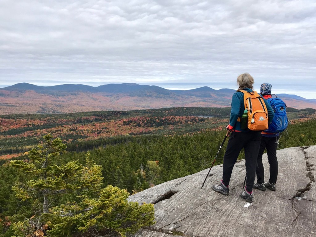
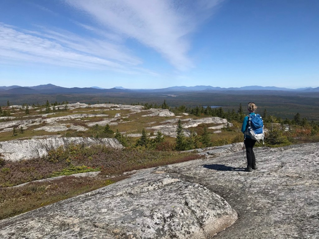
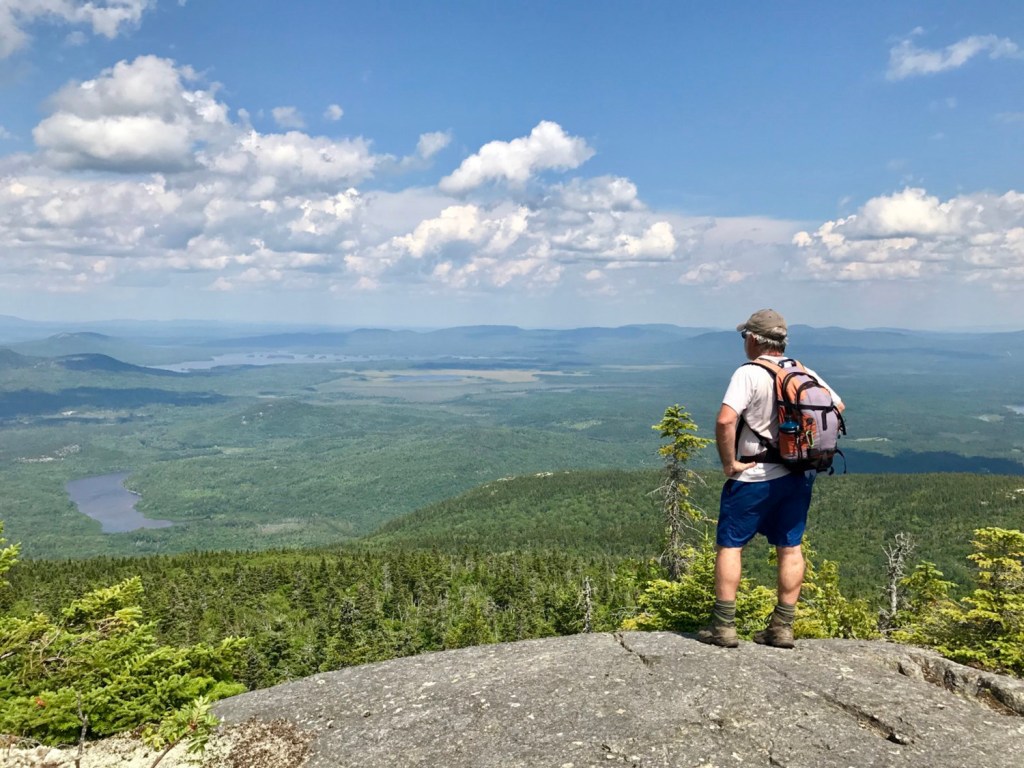
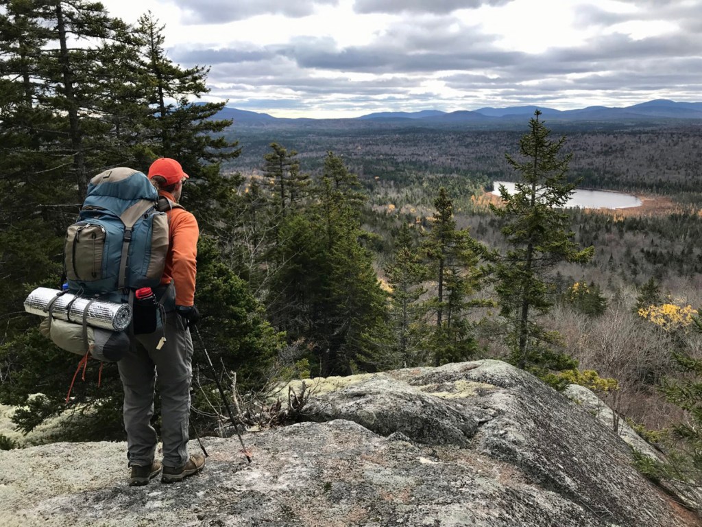
Nearly 100 new trails on 30 “new” mountains plus six new in-text maps have been added to the 12th edition. The six full-color topographic pull-out maps have also been revised and expanded. All told, the guide features a veritable bonanza of hiking opportunities from Aroostook to Acadia and Lovell to Lubec that includes 330 mountains and some 700 trails totaling over 1,600 trail miles. Total elevation gain? A heck of a lot. No doubt about it, you have work to do.
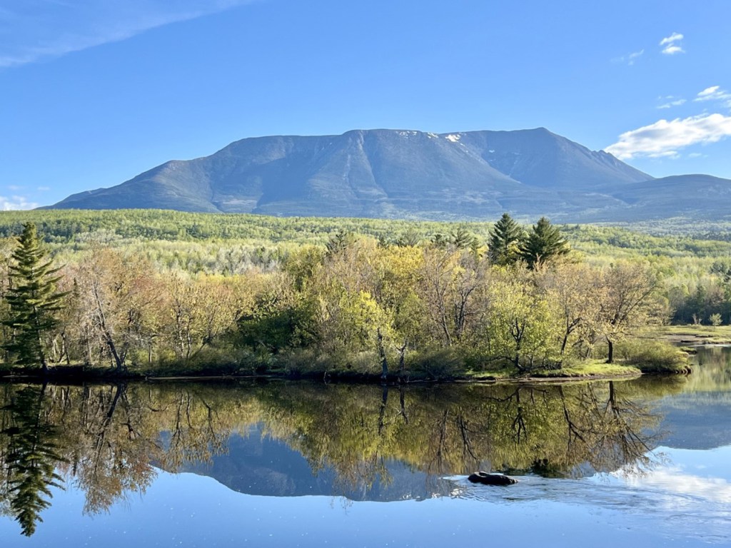
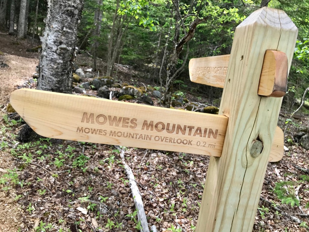
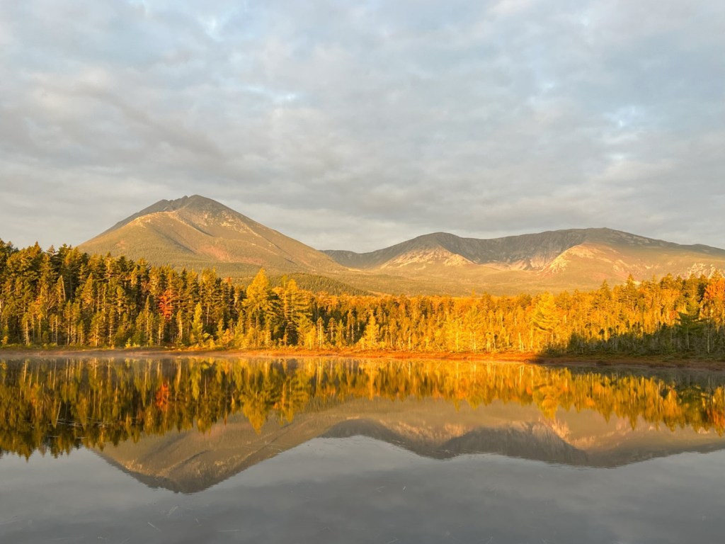
The highest summit in the book is, of course, 5,267-foot Baxter Peak on Katahdin in Baxter State Park. The lowest mountain is all 130 feet of Mowes Mountain in Lubec; part of Cobscook Shores’ Race Point Park, you’ll climb just 90 feet to get there, the least elevation gain. The highest elevation gain of a single mountain trail is the Hunt Trail on Katahdin, which gains 4,168 feet over its 5.4 miles from Katahdin Stream Campground to Baxter Peak.
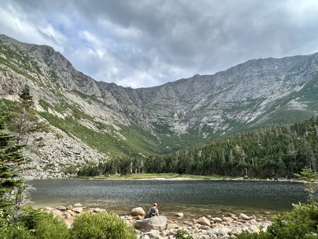
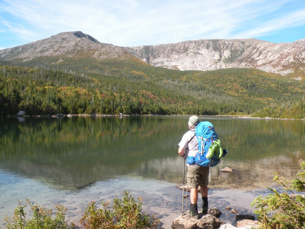
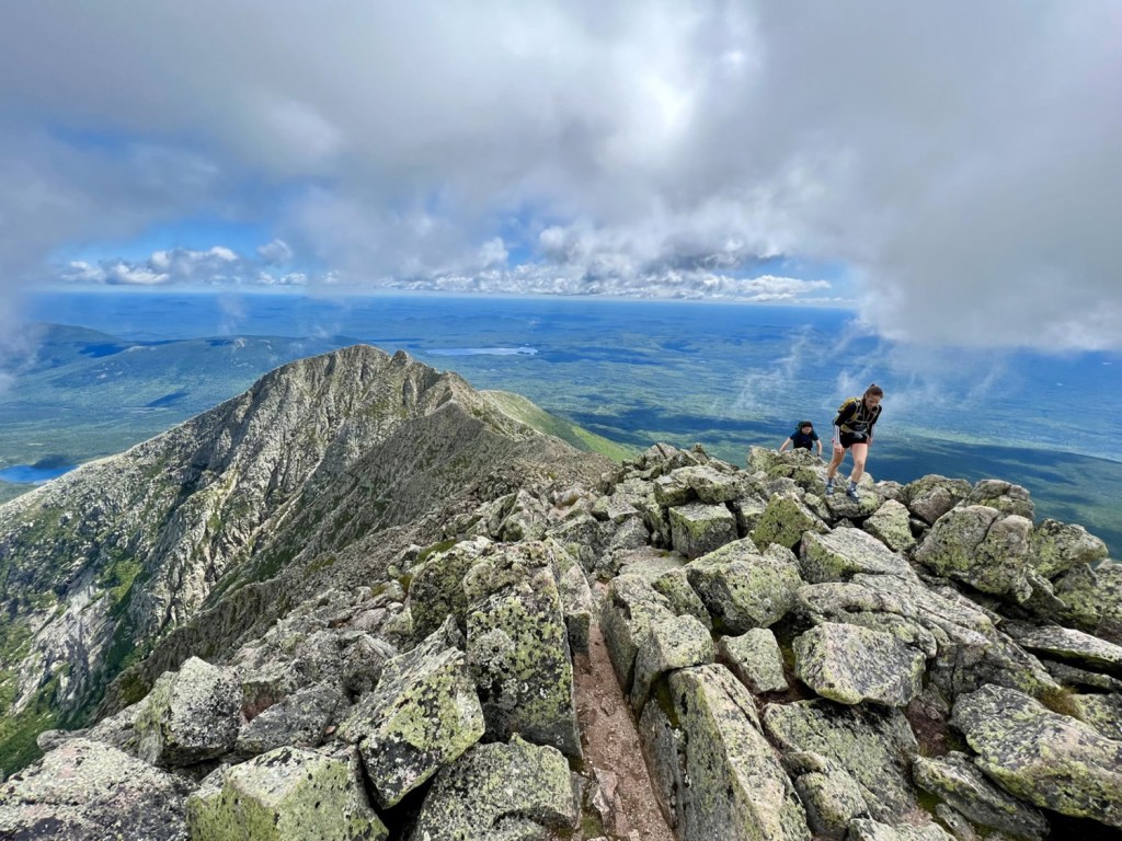
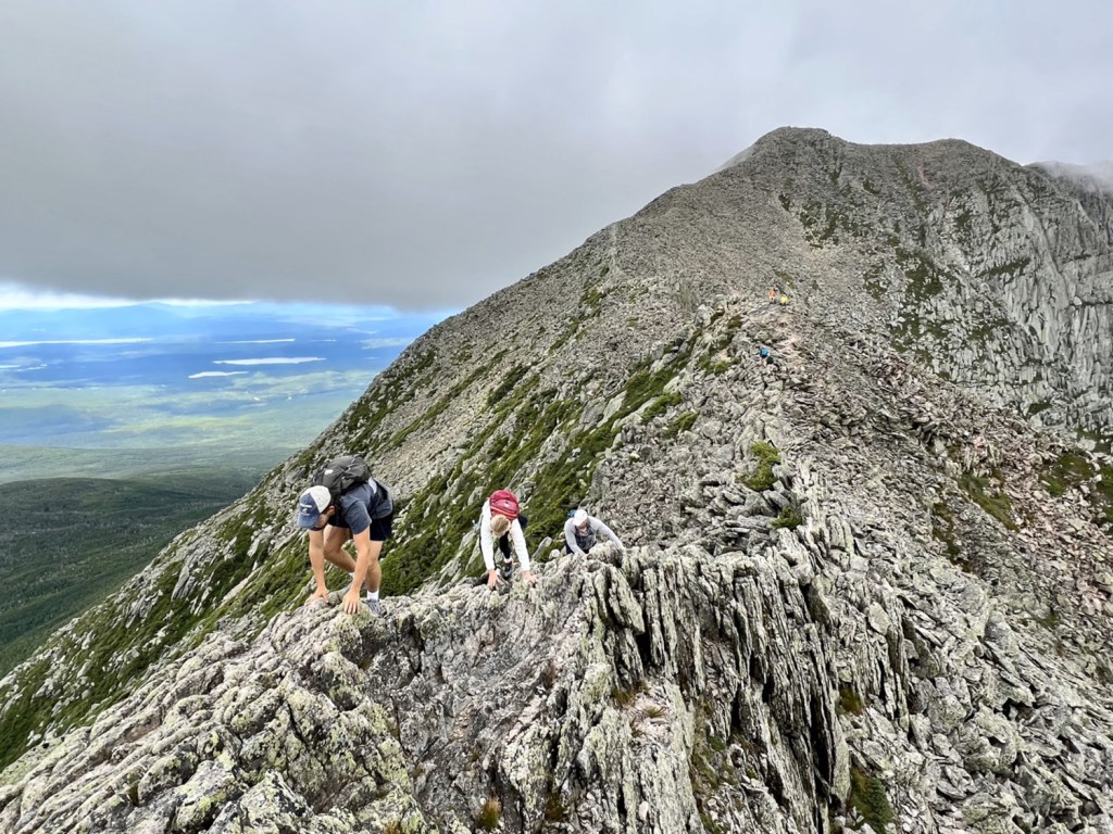
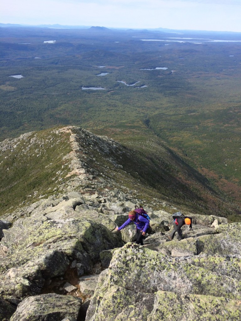
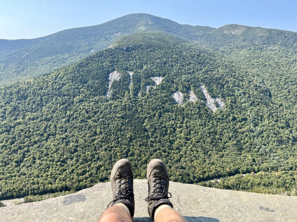
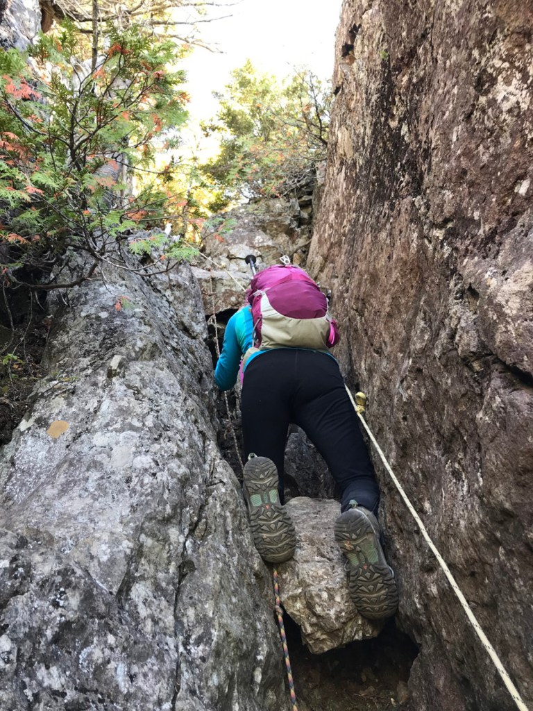
The most spectacular trail? Hands down it’s the Knife Edge, the airy 1.1-mile route along the famously narrow, serrated ridgeline from Pamola over Chimney Peak and South Peak to Baxter Peak. The wildest hike has got to be on Little Spencer Mountain in the boondocks northeast of Moosehead Lake, where the steep RAM Trail gains nearly 1,900 feet over 1.1 miles by way of two strenuous chimneys that must be scaled using fixed ropes.
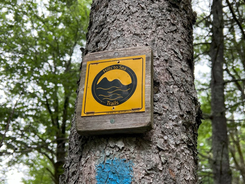
The longest trail is the Hills to Sea Trail stretching 47.8 hilly miles from Unity to Belfast, although 8.4 miles are closed for the foreseeable future. The rugged Grafton Loop Trail in the Mahoosuc Range includes sections of the AT along its 35.9 miles. Deep in the 100-Mile Wilderness, the new Great Circle Trail route makes an outstanding 27.3-mile backpacking circuit. The shortest trail is 0.3 miles to the gorgeous granite dome of Jockey Cap in Fryeburg.
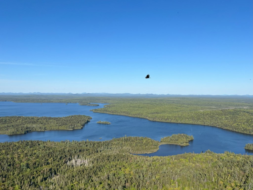
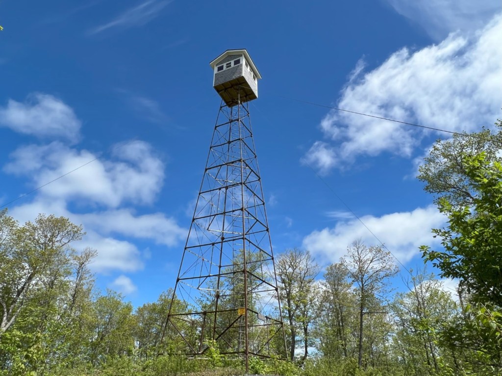
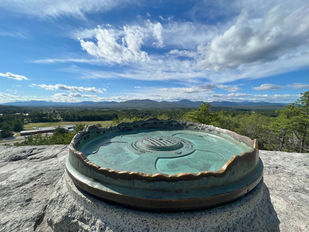
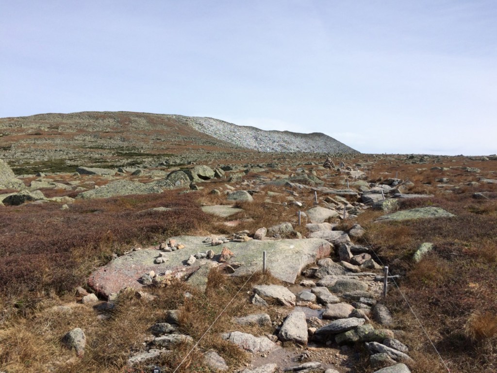
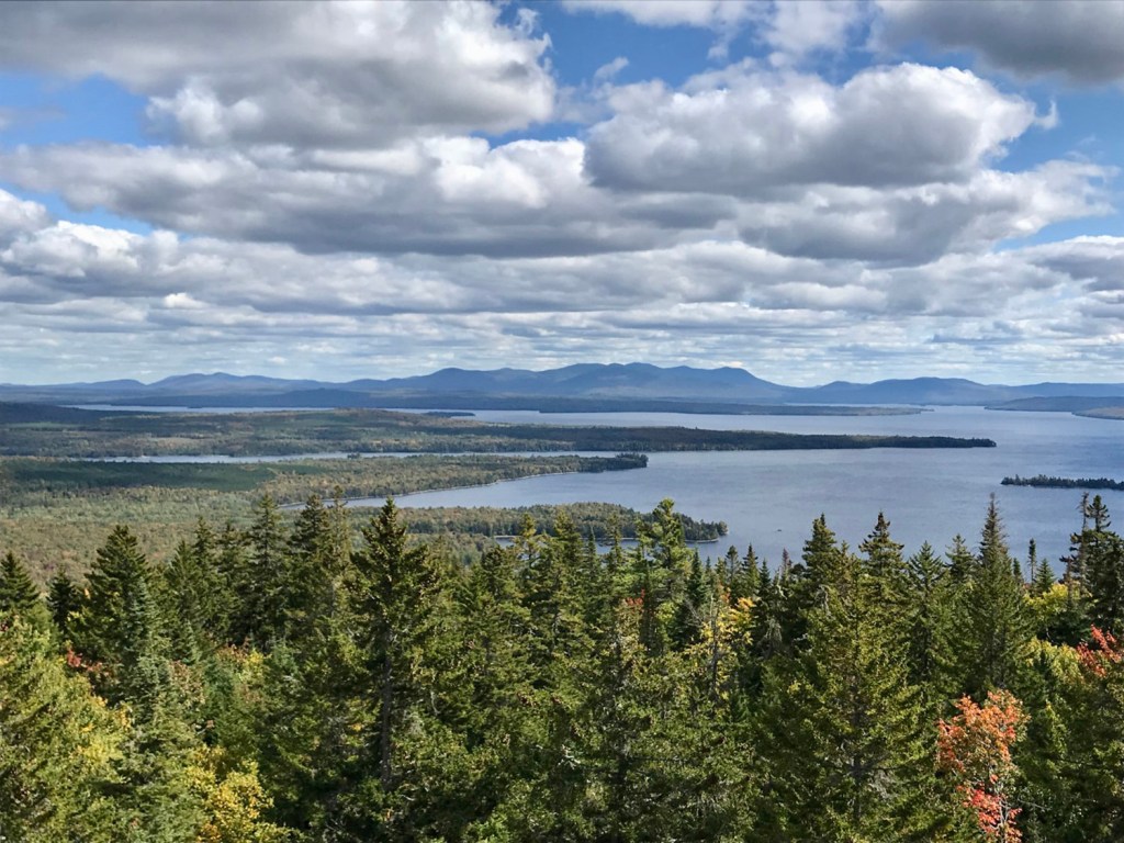
The most remote hike is Allagash Mountain in the Allagash Wilderness Waterway. Getting there from the pavement at Golden Road Crossing (formerly North Woods Trading Post) 9 miles west of Millinocket requires 60 miles of travel over gravel logging roads. It’s worth it, though, as the 360-degree panorama from the fire tower atop the 1,770-foot peak may well be the finest in the entire state. Runner-ups to that honor also include Mount Kineo, Moxie Bald’s North Peak and Number Five Mountain, among select others. The most urban hike is Howard Hill, which looks out over the state capital building and downtown Augusta.
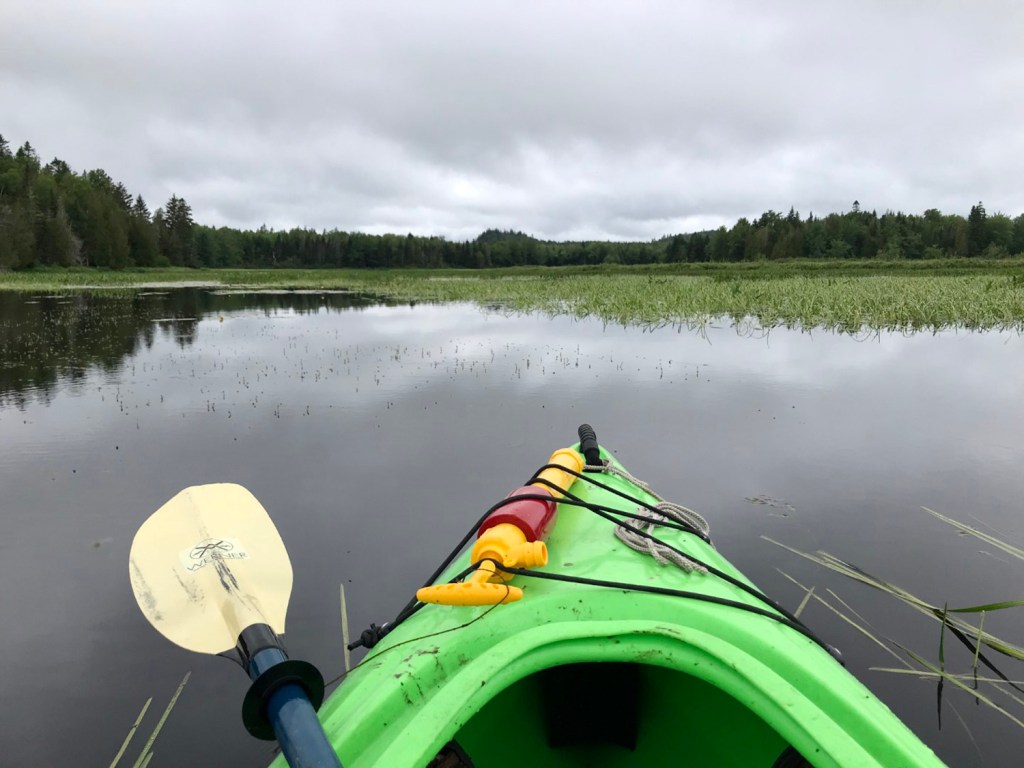
Three trails can only be accessed by water. To reach the Round Pond Mountain trailhead, it’s a 2.5-mile paddle down the Allagash River and across Round Pond. Lobster Mountain requires paddling 3 miles on Lobster Stream and Lobster Lake to the start of the hike. Down East in Whiting, it’s a 1.3-mile paddle on the Orange River to the short but sweet Estey Mountain Trail.
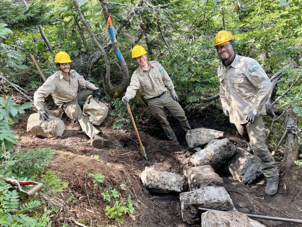
The trails on Maine’s public and private conservation lands – now totaling 4,431,000 acres or 21.4% of the state’s land area – exist because of the generosity of landowners and the stewardship of many dedicated organizations and hard-working individuals. It’s little wonder then that the 12th edition of the Maine Mountain Guide is dedicated to the trail builders and trail maintainers throughout the Pine Tree State, with a special shout out to the Baxter State Park trail crews for their extraordinary work in recent years. Please walk softly, respect nature and give thanks.
Carey Kish is a diehard hiker and outdoors writer from Mount Desert Island. “Maine Mountain Guide” questions, comments, suggestions, and any notes on errors and omissions, are welcome and may be emailed to Carey at maineoutdoors@aol.com
Send questions/comments to the editors.

Success. Please wait for the page to reload. If the page does not reload within 5 seconds, please refresh the page.
Enter your email and password to access comments.
Hi, to comment on stories you must . This profile is in addition to your subscription and website login.
Already have a commenting profile? .
Invalid username/password.
Please check your email to confirm and complete your registration.
Only subscribers are eligible to post comments. Please subscribe or login first for digital access. Here’s why.
Use the form below to reset your password. When you've submitted your account email, we will send an email with a reset code.