

New England is home to 67 mountains over 4,000 feet in elevation. Of these lofty summits, 48 are scattered across New Hampshire’s White Mountains, five are on the crest of Vermont’s Green Mountains, and 14 are in Maine, mostly along the route of the Appalachian Trail from the New Hampshire state line to Baxter State Park.
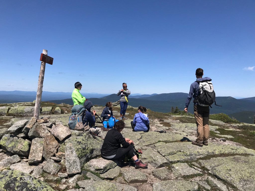
Checklists are a big thing in hiking circles these days, and for some, climbing all 67 peaks is a worthy, albeit ambitious, goal. If you’ve got a hankering to tag Maine’s 4,000-footers, well, bravo. There are many possible variations, but here’s an outline for completing the list over 10 separate day hikes, presented roughly in recommended order.
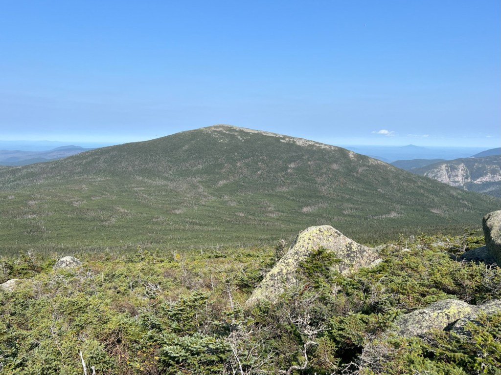
Old Speck offers excellent views over the rugged Mahoosuc Range from its summit observation tower. Carey Kish photo
Old Speck (No. 5; 4,188 feet). The observation tower on Old Speck offers excellent views over the rugged Mahoosuc Range along the Maine-New Hampshire state line. Enjoy the peak but beware of marauding Canada jays! Via the Appalachian Trail and the Mahoosuc Trail, it’s 7.6 miles round-trip with 2,692 feet of elevation gain.
Mount Abraham (No. 10; 4,050 feet). Home to the second largest Alpine zone in Maine, Abraham offers outstanding 360-degree views from the former fire tower site on the summit. The Fire Warden’s Trail traverses an awesome talus field before topping out. All told, you’ll climb 2,887 feet over the 8 miles up and down.
Saddleback (No. 8; 4,122 feet) and The Horn (No. 12; 4,024 feet). Hike a section of the Fly Rod Crosby Trail to pick up the Berry Picker’s Trail, which climbs to the saddle between the peaks. Follow the Appalachian Trail out-and-back to each summit, enjoying above-treeline views with every step. The tally? Ten miles even and 2,892 feet.
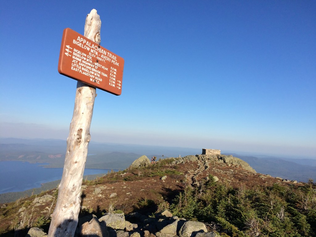
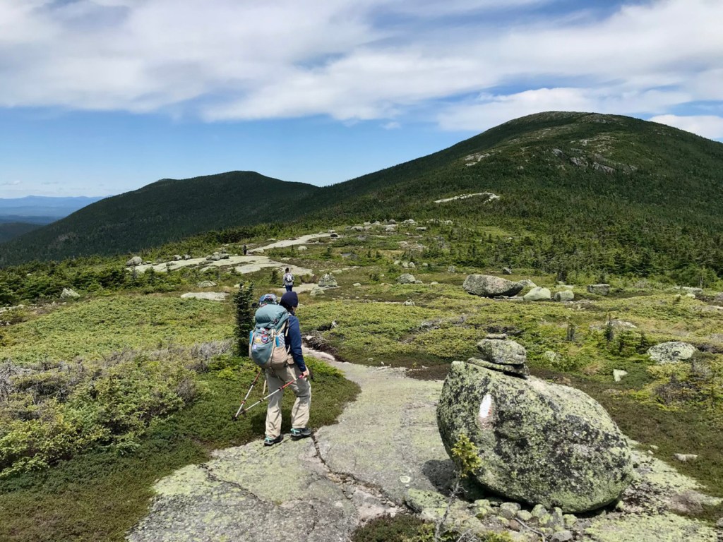
Bigelow, Avery Peak (No. 9; 4,082 feet) and West Peak (No. 7; 4,134 feet). The steep final mile of the Firewarden’s Trail to Bigelow Col will test your meddle. But the effort is worth it for that “top-of-the-world” feeling on the craggy summits, each reached by short hops on the Appalachian Trail. It’s 10.8 miles round-trip with 3,199 feet of elevation gain.
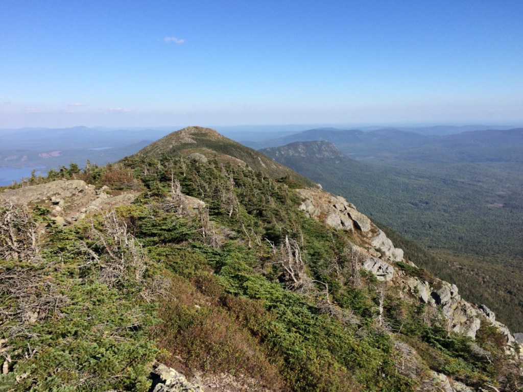
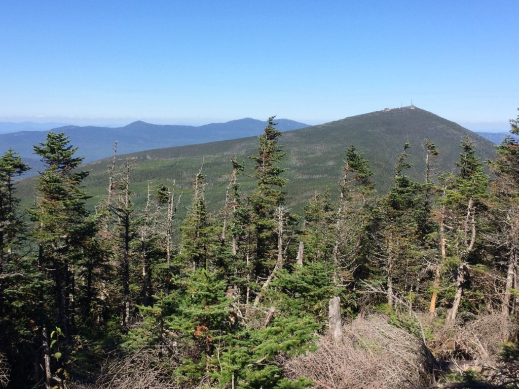
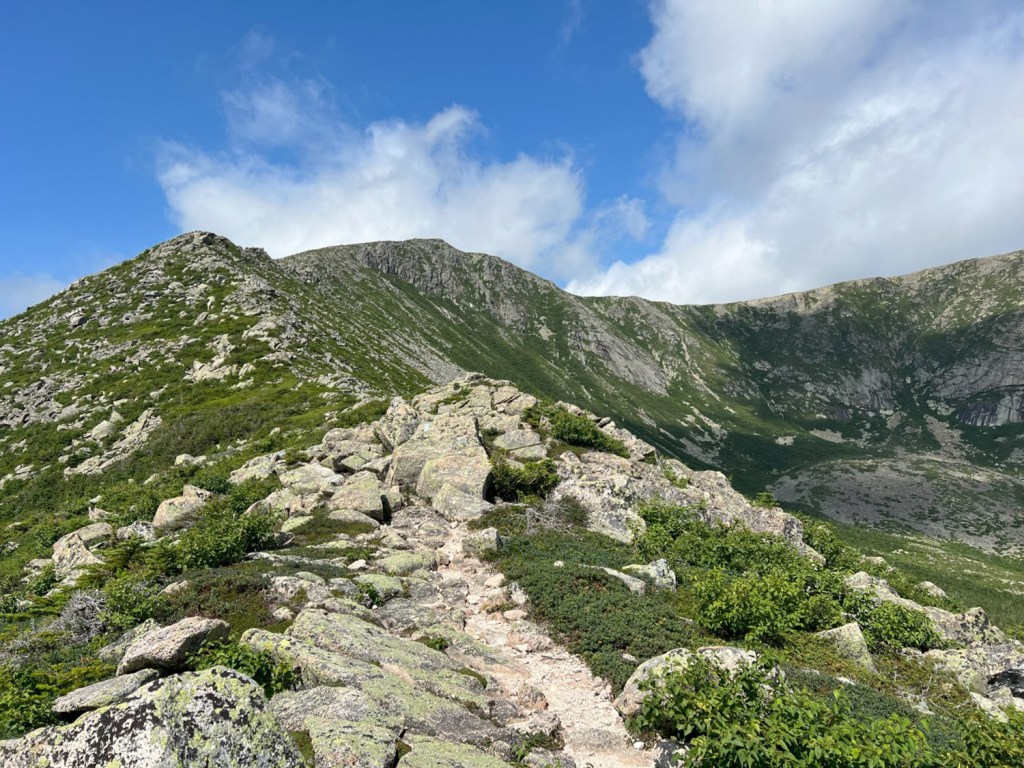
From the top of South Crocker, Sugarloaf, left, and Spaulding mountains come into view. Carey Kish photo
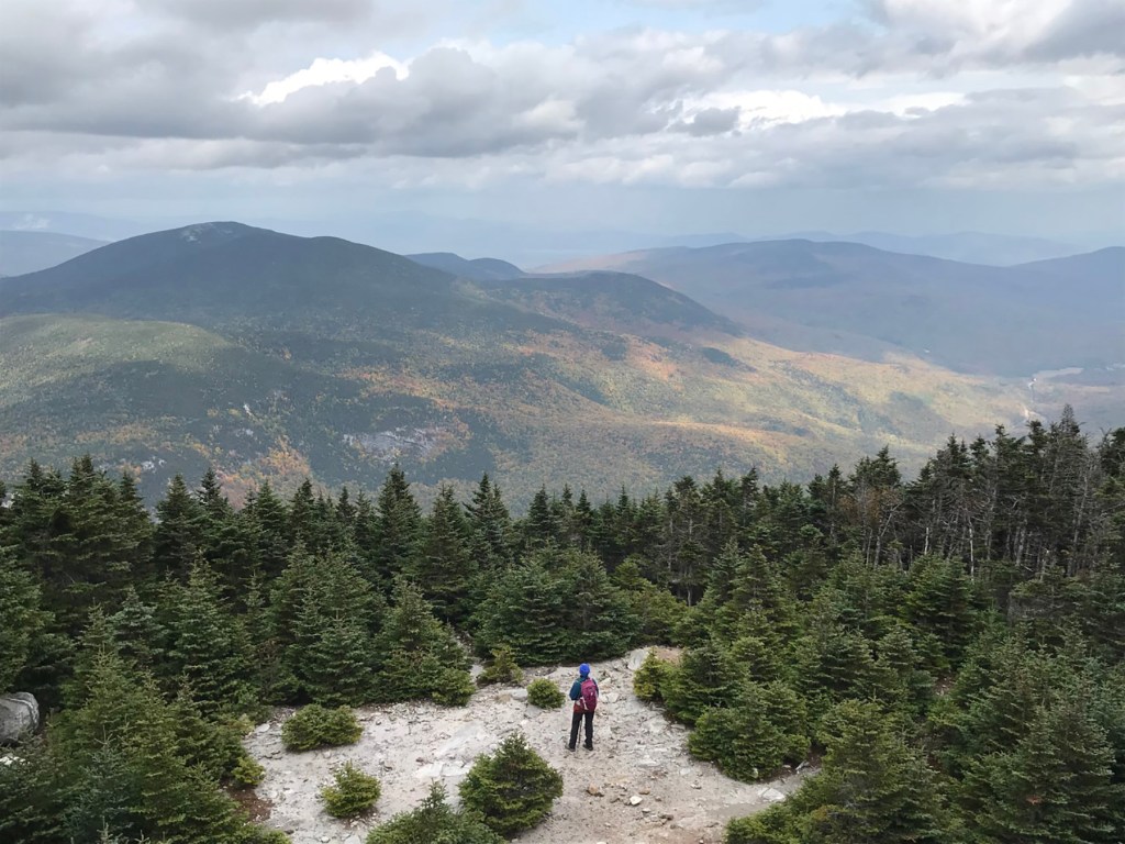
South Crocker (No. 11; 4,048 feet) and North Crocker (No 4.; 4,228 feet). Approach from Caribou Valley Road and climb via the Appalachian Trail, visiting scenic Crocker Cirque en route. There are views of Sugarloaf and the Bigelows on the south peak ascent, but the north peak is wooded. Climb 2,822 feet over 7.2 miles round-trip.
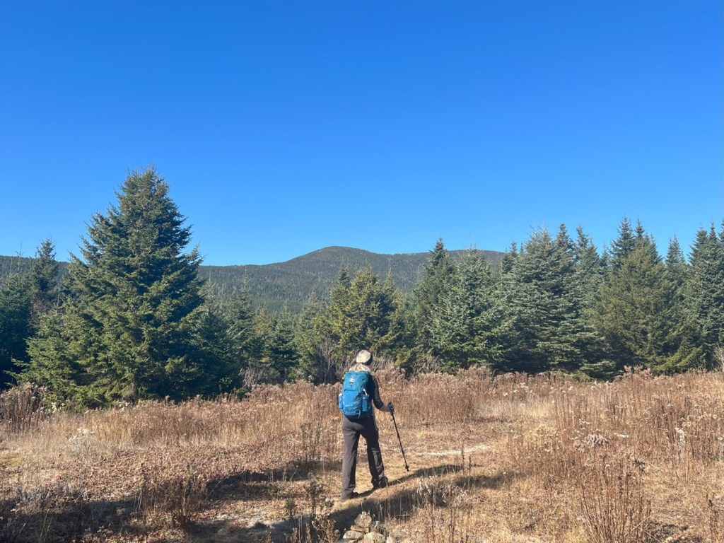
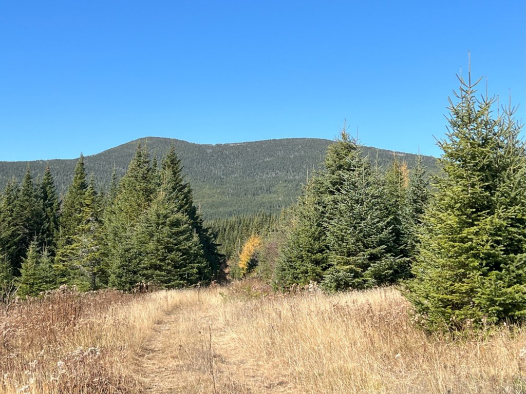
Redington (No. 14; 4,002 feet). Redington can be reached by a herd path from South Crocker, but better (longer but less elevation gain) is the route up Caribou Valley Road to Caribou Pond, then more tote roads and footpaths to the top. Although unmarked, it’s a straightforward, pleasant hike if you pay close attention. Eleven miles and 1,880 feet.
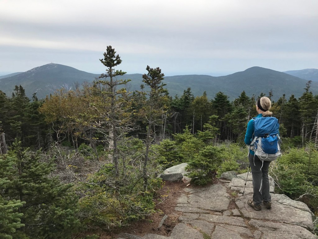
Sugarloaf (No. 3; 4,238 feet) and Spaulding (No. 13; 4,011 feet). Check the boxes on these two peaks by way of the Appalachian Trail and the Sugarloaf Mountain Trail, a spur off the AT. Despite the cluster of towers on top, Sugarloaf is a worthwhile objective. A narrow corridor atop Spaulding affords Sugarloaf and Bigelow views. Round-trip stats: 11.6 miles; 2,820 feet.
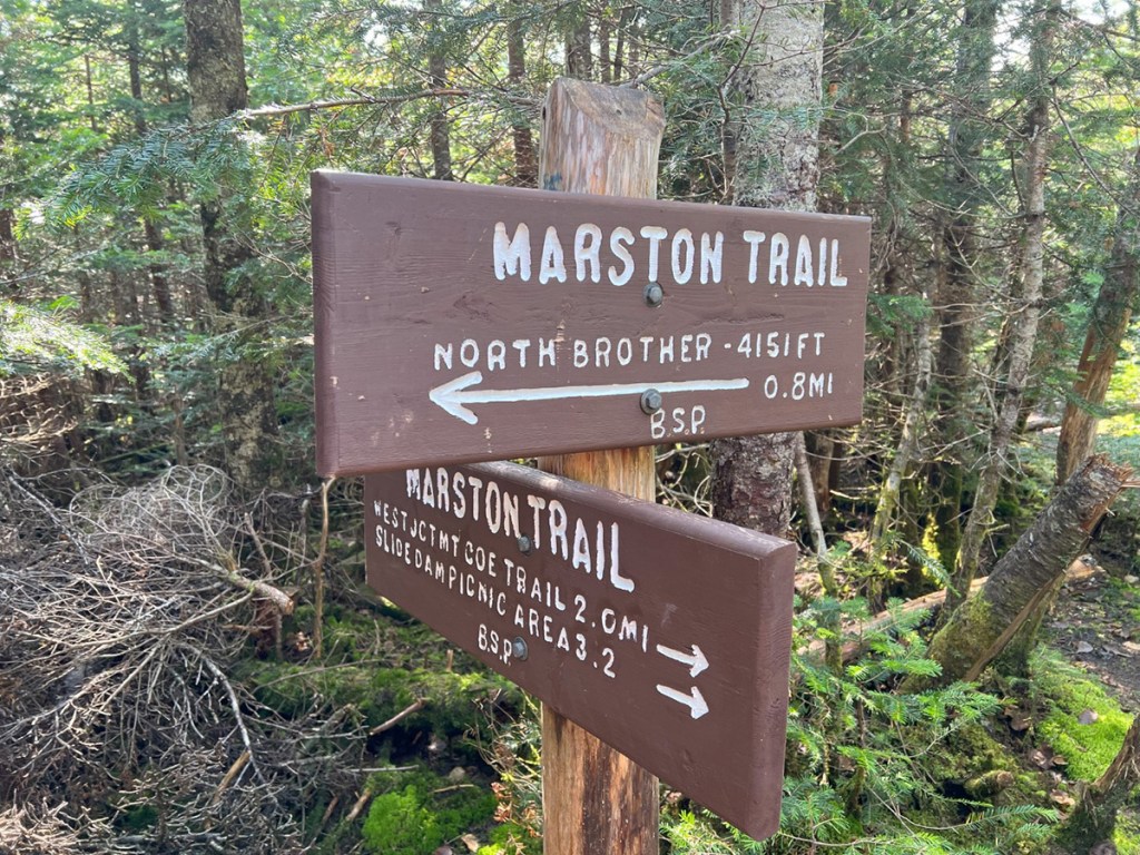
North Brother (No. 6; 4,143 feet). North Brother’s rocky top rewards hikers with incredible views across the wilds of Baxter State Park, from Katahdin and its neighbors to the Traveler peaks and Doubletop to the Turners. Marston Trail gets you there and back in 9.2 miles with 2,953 feet of elevation gain.
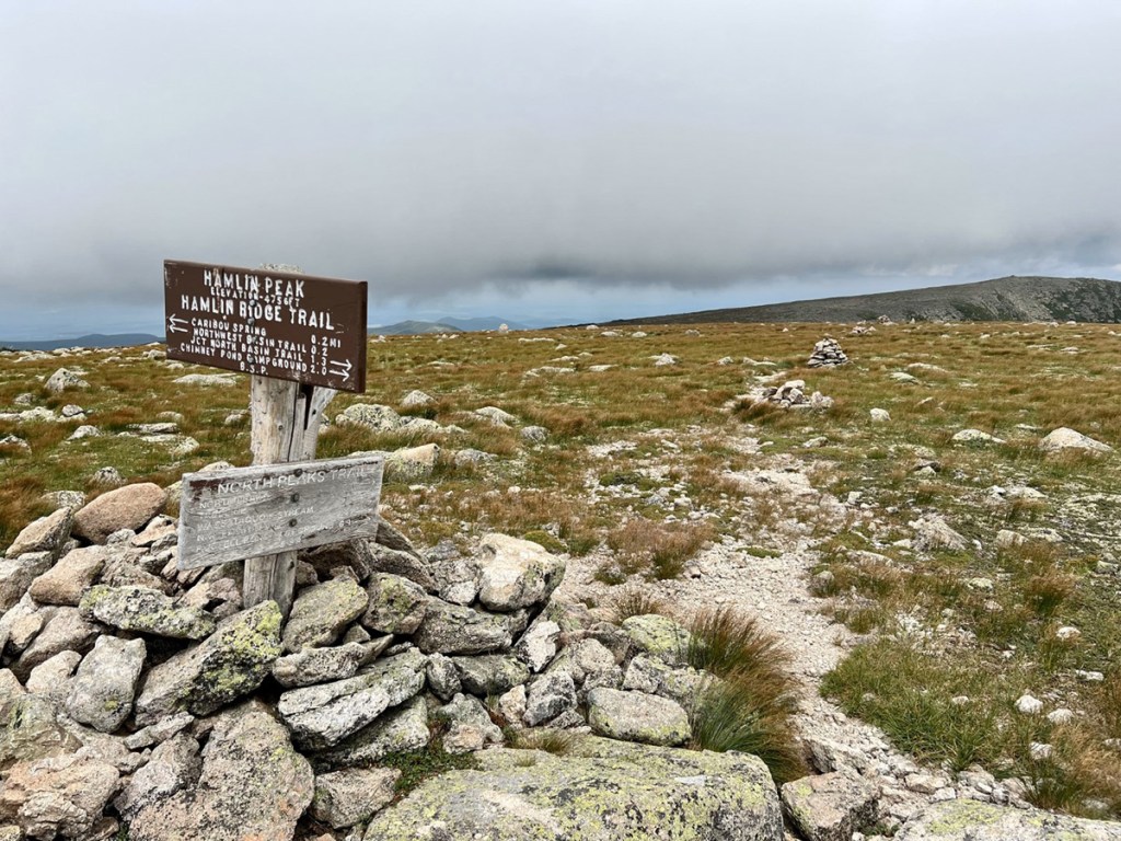
Hamlin Ridge Trail climbs to the amazing and less-visited Alpine summit of Hamlin Peak. Carey Kish photo
Katahdin, Hamlin Peak (No. 2; 4,752 feet). While throngs of hikers crowd the top of Baxter Peak, you’re likely to have the amazing Alpine summit of Hamlin Peak all to yourself. From Roaring Brook Campground, follow the Chimney Pond, North Basin and Hamlin Ridge trails for one heckuva day. Cover 10.4 miles while climbing 3,263 feet.
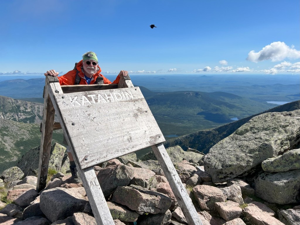
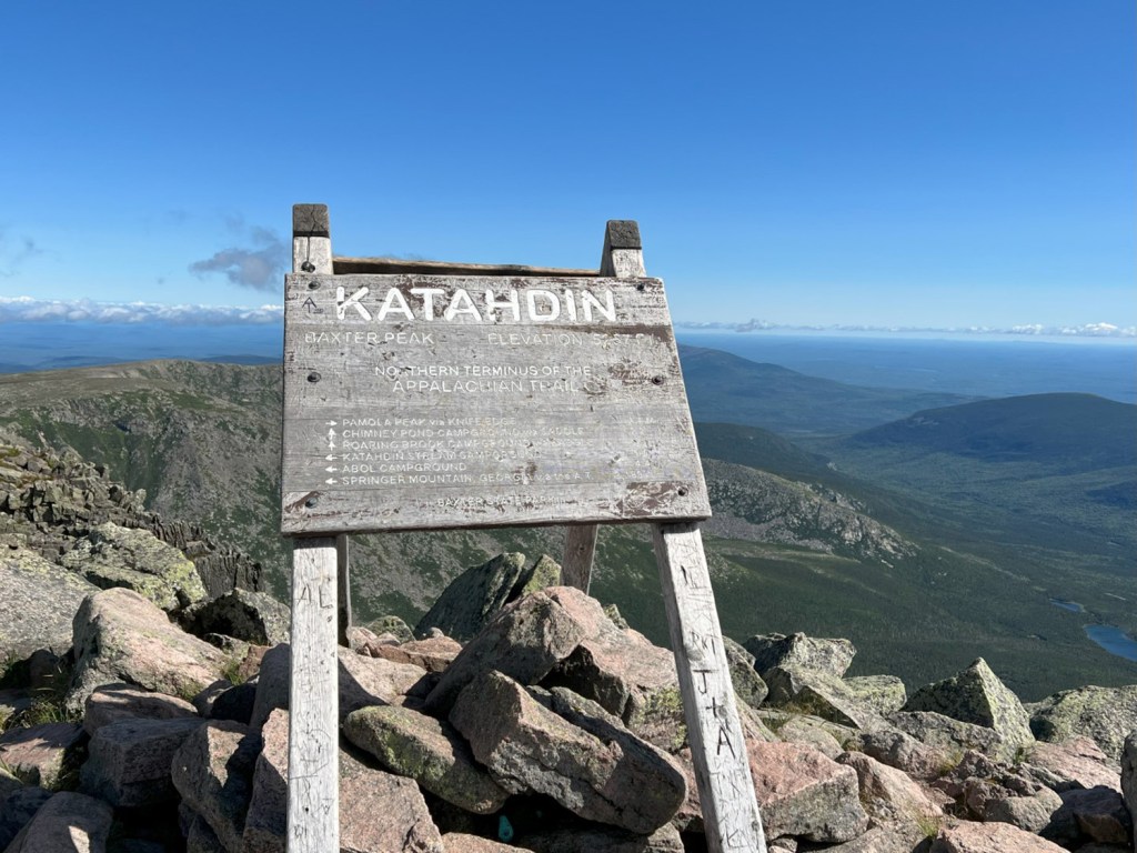
Katahdin, Baxter Peak (No. 1; 5,267 feet). There are multiple ways to scale Maine’s highest peak, and all are long and arduous. Perhaps the least intimidating is the Saddle Trail, which ascends the Saddle Slide to the Saddle and then on to the top. Start at Roaring Brook and take the Chimney Pond Trail to the spectacular tarn. Total day: 11.4 miles; 3,778 feet of up.
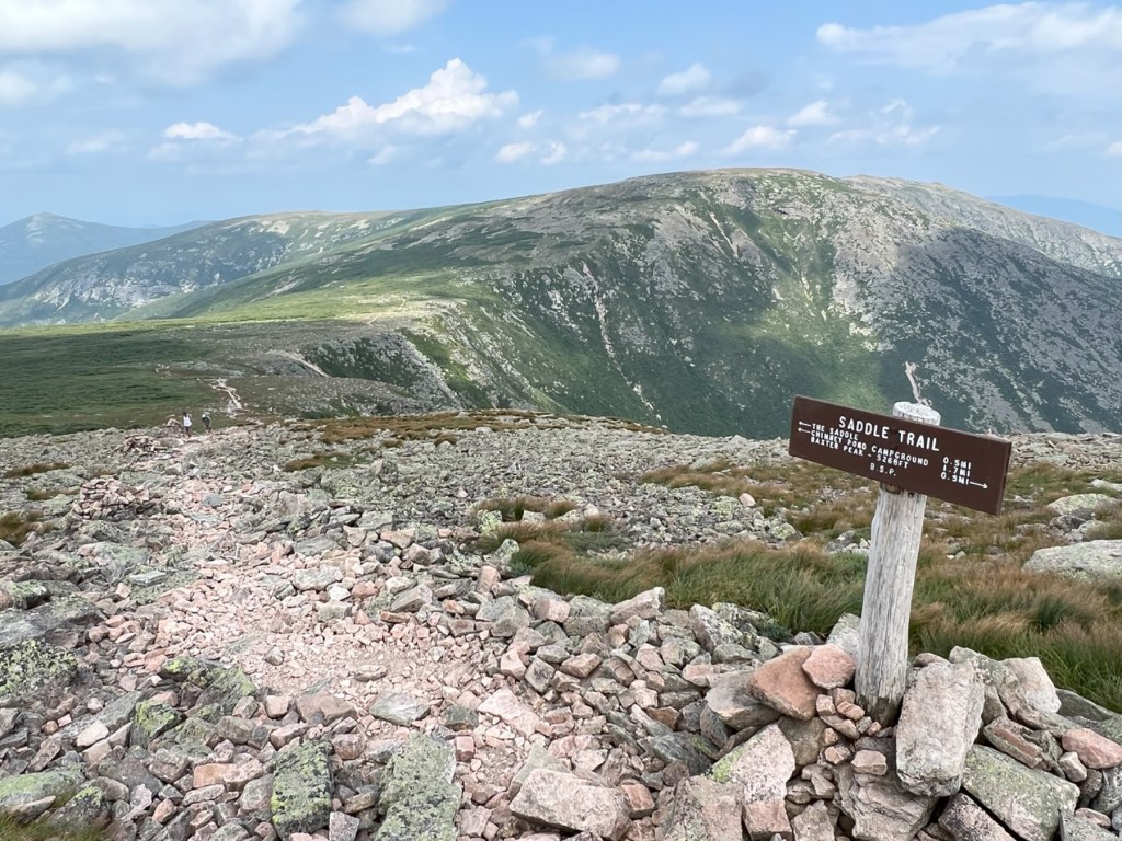
The Saddle Trail from Chimney Pond is perhaps the least intimidating route up Katahdin to Baxter Peak. Carey Kish photo
Over the 10 day trips hiking the 4,000-footers, you’ll cover 108 miles and gain 32,450 feet of elevation. The latest (12th) edition of the AMC Maine Mountain Guide is an indispensable resource and trail companion. Have fun!
Carey Kish of Mount Desert Island is the author of “Beer Hiking New England,” “AMC’s Best Day Hikes Along the Maine Coast” and the AMC “Maine Mountain Guide.” Follow more of Carey’s adventures on Facebook and on Instagram @careykish
Copy the Story LinkSend questions/comments to the editors.

Success. Please wait for the page to reload. If the page does not reload within 5 seconds, please refresh the page.
Enter your email and password to access comments.
Hi, to comment on stories you must . This profile is in addition to your subscription and website login.
Already have a commenting profile? .
Invalid username/password.
Please check your email to confirm and complete your registration.
Only subscribers are eligible to post comments. Please subscribe or login first for digital access. Here’s why.
Use the form below to reset your password. When you've submitted your account email, we will send an email with a reset code.