


Maine is likely to see some messy and potentially hazardous weather over the next few days, including strong winds that could lead to power outages later in the week.
Up to 3 inches of snow fell across the region overnight with a chance of freezing rain or drizzle Tuesday. That will be followed Wednesday by a much stronger storm that could cause flooding in central Maine.

The freezing rain could create slick roads and dangerous driving during the morning commute Tuesday, said Derek Schroeter, meteorologist at the National Weather Service office in Gray. Gov. Janet Mills announced Monday that state offices will open late Tuesday, at 10 a.m.
Schroeter said driving conditions should improve by late morning – but not for long.
“We got a pretty complicated, busy stretch of weather that’s coming in right now,” Schroeter said on a Monday evening phone call. “Tomorrow is going to be one weather event, and then we have another weather event that is coming on Wednesday.”
Schroeter said the storm Wednesday also could bring winds of up to 50 mph to coastal communities and 40 mph to inland areas, but he said it’s difficult to predict exactly how deep the gusts will penetrate.
Wednesday could shape up to be one of the warmest days of the winter season: forecasters expect a high temperature of 54 in Augusta, with snow-melting rains through Wednesday night. The weather service said the system will likely bring 2-3 inches of rain across the region.

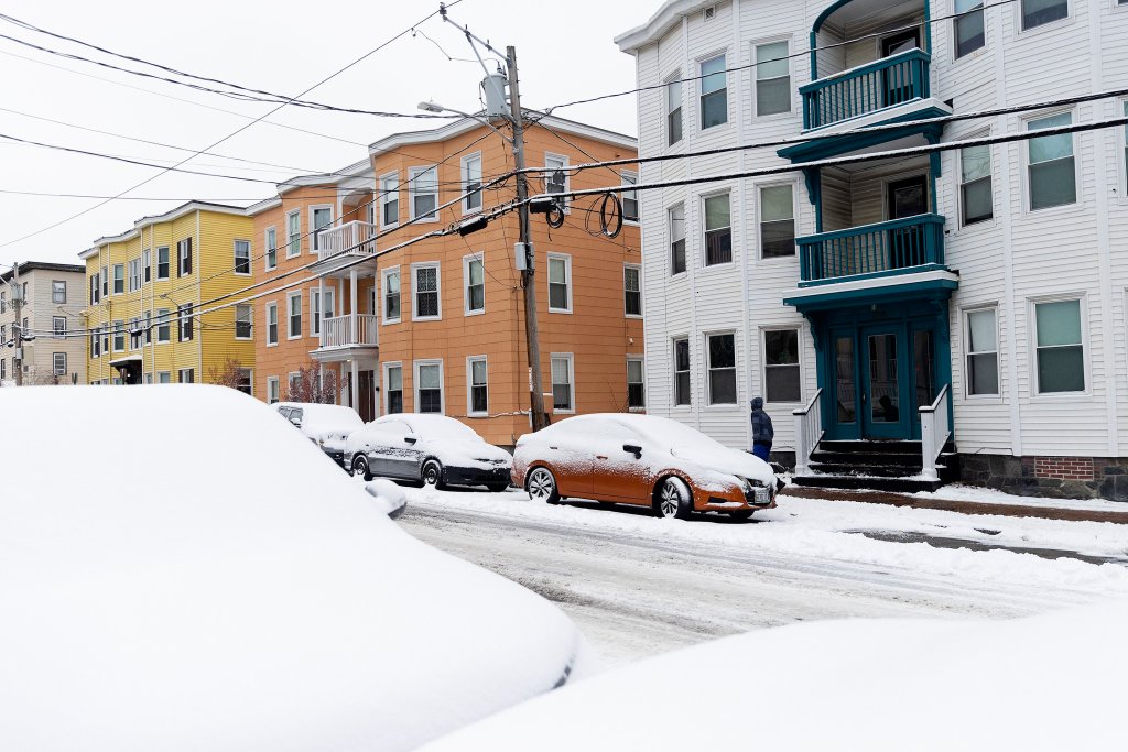
An Augusta Public Works plow cleans up on Capitol Street in front of the Blaine House following a storm on Nov. 29. More messy weather is on tap for this week, with snow forecasted for overnight Monday into Tuesday and rain and possibly strong winds on Wednesday. Joe Phelan/Kennebec Journal
“Model solutions suggest this rain could potentially be very heavy, with the added effects of snowmelt across the region,” the weather service said in its forecast Monday. “Flooding is possible and will need to be monitored closely for this late-season heavy rain event.”
In central Maine, the rain and warmer temperatures could melt the existing snow and create flooding, the weather service said.
The weather service said early indications show Wednesday’s warm-up may not reach the mountains and melt the snowpack quite as much, but that depends on an uncertain storm track.
Sunny conditions and near-normal temperatures will likely return Thursday, with highs near 42 in Augusta and 41 in Portland.
Send questions/comments to the editors.

Join the Conversation
We believe it’s important to offer commenting on certain stories as a benefit to our readers. At its best, our comments sections can be a productive platform for readers to engage with our journalism, offer thoughts on coverage and issues, and drive conversation in a respectful, solutions-based way. It’s a form of open discourse that can be useful to our community, public officials, journalists and others. Read more...
We do not enable comments on everything — exceptions include most crime stories, and coverage involving personal tragedy or sensitive issues that invite personal attacks instead of thoughtful discussion.
For those stories that we do enable discussion, our system may hold up comments pending the approval of a moderator for several reasons, including possible violation of our guidelines. As the Maine Trust’s digital team reviews these comments, we ask for patience.
Comments are managed by our staff during regular business hours Monday through Friday and limited hours on Saturday and Sunday. Comments held for moderation outside of those hours may take longer to approve.
By joining the conversation, you are agreeing to our commenting policy and terms of use. More information is found on our FAQs.
You can modify your screen name here.
Show less
Join the Conversation
Please sign into your Press Herald account to participate in conversations below. If you do not have an account, you can register or subscribe. Questions? Please see our FAQs.