


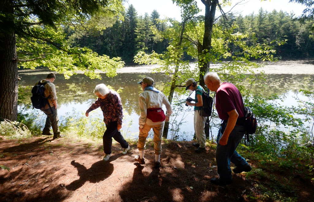
LOVELL — The Kezar River Reserve, given to the Greater Lovell Land Trust in 2003 by The Nature Conservancy, amounts to a walk in the woods for most people. But within this forested 114-acre parcel that hugs Kezar Lake to the east and the west lies an outdoor science classroom with visible proof that Maine was the site where the last continental ice sheet retreated.
What is known as the Center Lovell Quadrangle in Lovell has clear evidence of glacial deposits “formed during and after the latest episode of glaciation in Maine, within the last 25,000 years,” according to the Maine Geological Survey’s 1999 report. That period, the Pleistocene epoch, was “when the latest continental ice sheet covered all or portions of New England,” according to the survey.
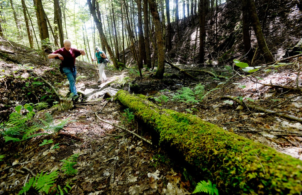
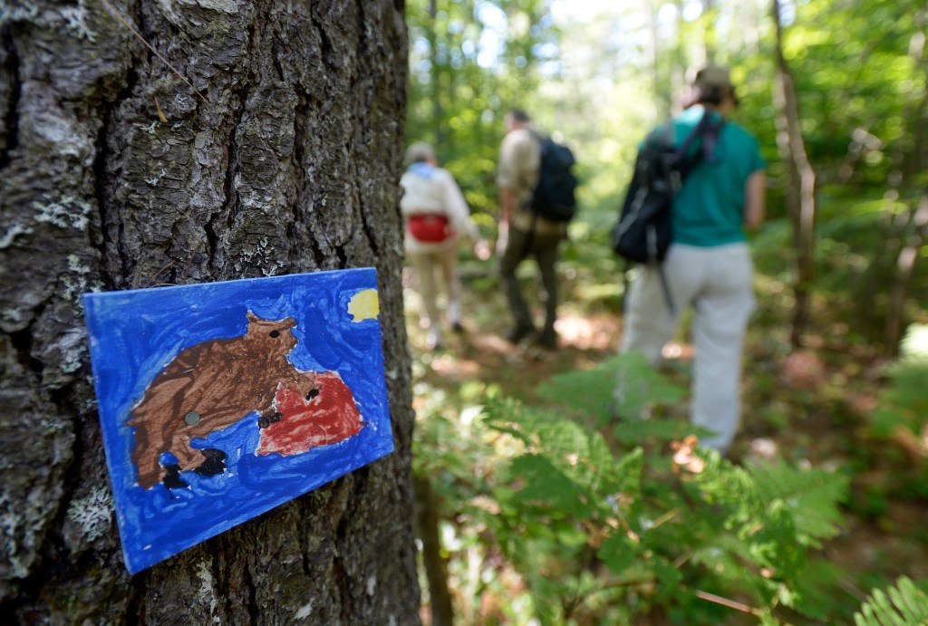
The Kezar River Reserve, located in Oxford County, has a deep V-shaped ravine – a geological feature known as a headwall. The headwall indicates the flow of the massive ice sheet from north to south, said Lovell Land Trust board member Bob Winship, who guided a hike there last week.
“It’s primarily a forest in the reserve, then as you hike through it the geological side shows up,” he said.
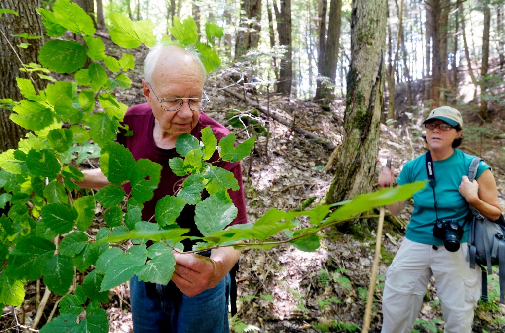
For the most part, locals don’t ponder the unique landscape, said Beverly Bassett, a land trust board member.
“To them, it’s just the best spot to hunt. I don’t know if the ravine is even mentioned,” she said.
Evidence of fauna and wildlife, such as mink and deer tracks, do draw locals to the preserve. But the Kezar Reserve forest has more reasons to step away from busy roads and towns here.
Winship explained that as the ice melted a river formed on top of the glacier. As it ran down it gathered stones and debris that also formed a formation called an esker – a ridge of gravel left by the glaciers. One such feature can be seen along the mile-long trail in the Reserve, where it looks over the Kezar River.
“It’s very common to see in the hills around here a sloping mound, and then it drops off,” Winship said as he looked down the ridge toward the Kezar River. “What happens is as the glacier advances north to south, the cliff side is where the glacier passed and grabbed the rock and tore the rock off, creating a cliff.”
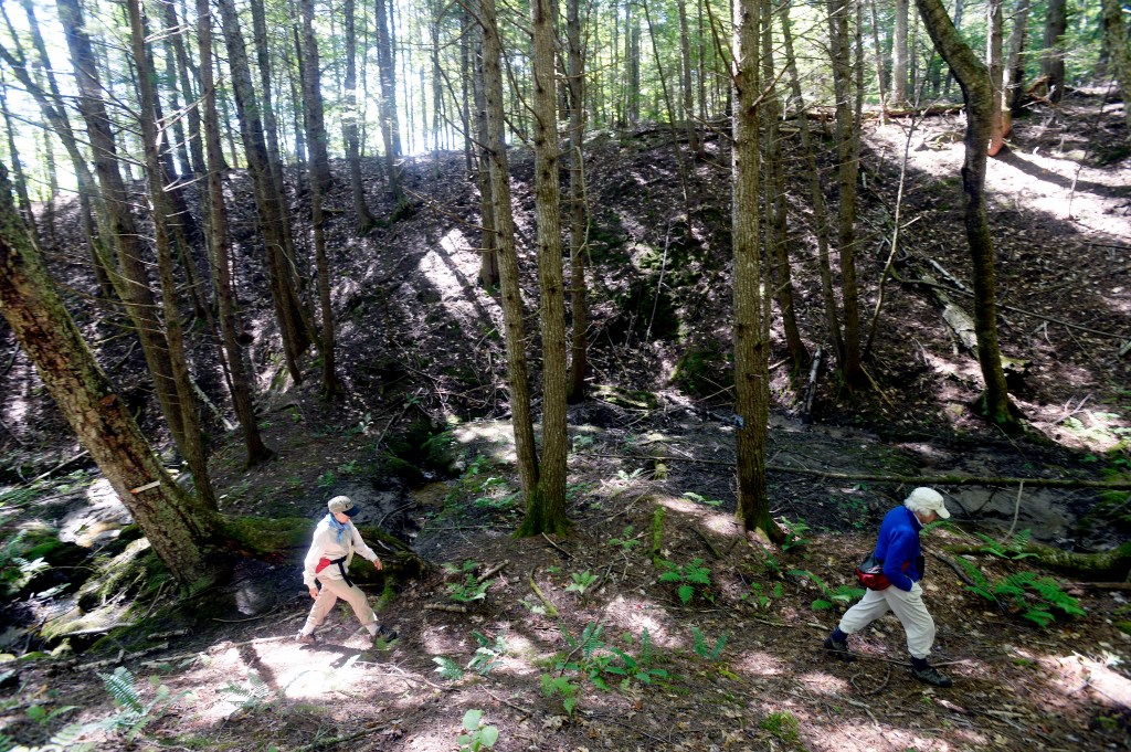
But this sudden, steep drop-off to the river is not the ravine.
“You’ll know the ravine when you’re in it” Winship said.
When the group of hikers came upon it last week, with its headwall dropping into a steep canyon, they carefully climbed into it together.
The ravine here opens into a sparse, dark pine forest that drops down into a wet canyon, where a tiny brook runs out to the Kezar River. It has a “Land of the Lost” feel because it contrasts dramatically with the lush, logged forest above it, where a healthy, thick, rich canopy of leaves results from new growth.
The ravine, however, is made up of an older, untouched forest.
“During the Ice Age about a mile of ice sitting on top of Maine ran through here,” Winship said. “Some things happen as ice moves, scraping as it did. You end up with unusual rocks like you have in Acadia.”
The ravine is another example of the ice sheet.
The ravine’s bottom around the brook that runs through it is damp, with moss and ferns. It’s a great place to hunt for animal tracks. As land trust education director Leigh Hayes does just that, Winship looks up and down the ravine, estimating its wall height at about 50 feet.
“There is totally different geology here,” Hayes said.
As the group climbs out of the ravine, she admires the strange canyon-like area.
“It’s a completely different ecology than up here. There are different soils, a different forest,” Hayes said.
Copy the Story Link
Send questions/comments to the editors.

Success. Please wait for the page to reload. If the page does not reload within 5 seconds, please refresh the page.
Enter your email and password to access comments.
Hi, to comment on stories you must . This profile is in addition to your subscription and website login.
Already have a commenting profile? .
Invalid username/password.
Please check your email to confirm and complete your registration.
Only subscribers are eligible to post comments. Please subscribe or login first for digital access. Here’s why.
Use the form below to reset your password. When you've submitted your account email, we will send an email with a reset code.