

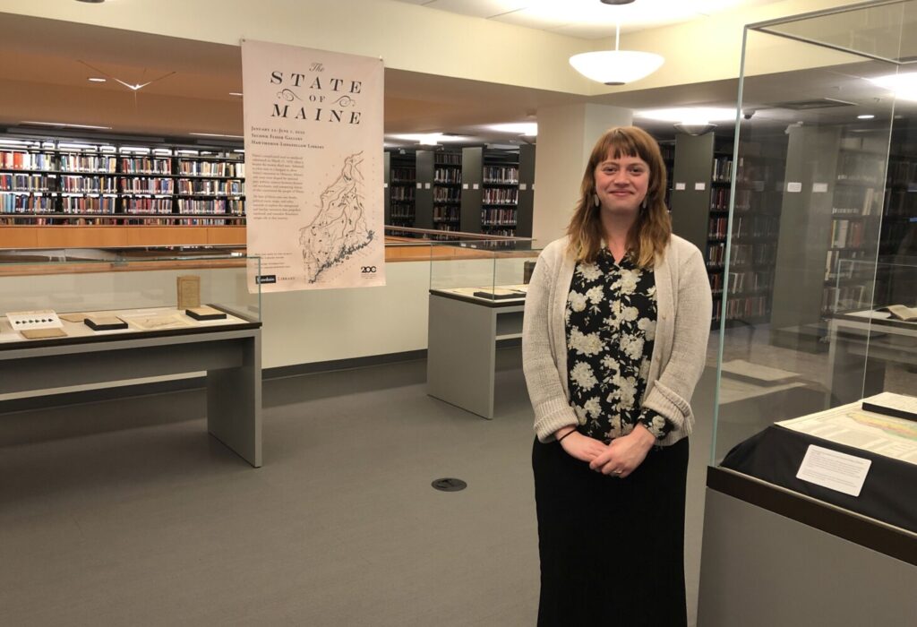
Marieke Van Der Steenhoven, special collections education and outreach librarian at Bowdoin College, curated “State of Maine,” a new exhibit at the school’s Hawthorne-Longfellow Library. Alex Lear / The Forecaster
BRUNSWICK — Maine had a long and complicated path to statehood, and becoming the 23rd state 200 years ago brought its fair share of growing pains.
“State of Maine,” an exhibit on display through this spring at Bowdoin College’s Hawthorne-Longfellow Library and at sca.bowdoin.edu, explores those triumphs and tribulations with maps, books and other rare and historic items culled from the college’s archives.
Maps are particularly fascinating to Alex Kogan, a Bowdoin senior from New York majoring in history and mathematics.
The exhibit’s broad variety of maps, Kogan pointed out, include “political maps that show voting behaviors, county maps, a map of New England that all but omits Maine altogether, and, perhaps most importantly, maps that simply show Maine as different than it is today. Maine’s history goes back further than 200 years, of course, but this bicentennial provides a rare opportunity for Maine’s residents to collectively reexamine how Maine has evolved over time and the role Mainers have played in enacting that evolution.”
Marieke Van Der Steenhoven, special collections education and outreach librarian at the college, curated the second-floor gallery exhibit. The story is told through a series of display cases, each with its own theme, the first of which is separation.
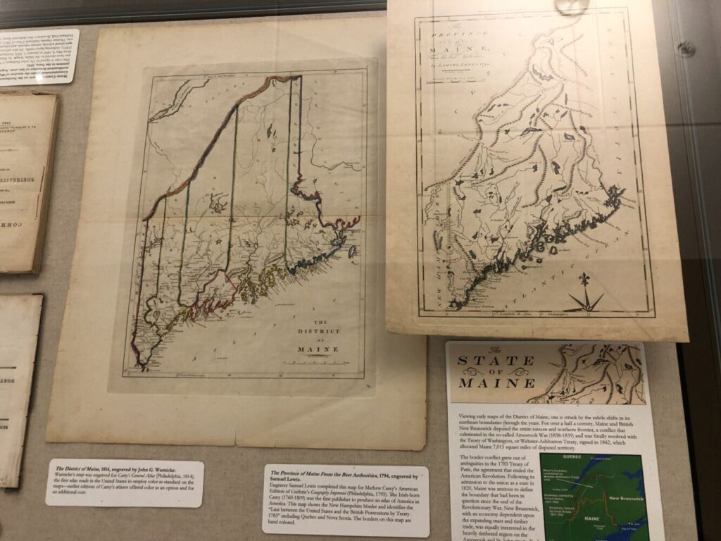
These maps, on display as part of Bowdoin College’s “State of Maine” exhibit, demonstrate the unclear state of Maine’s northern boundary line in its earliest years.
Attempts to secede from Massachusetts began in the early 1700s, with an increasing number of residents feeling that their representation in Boston was lacking. Allegiances were split along geographic lines, the exhibit notes, with inland farmers seeking independence to settle disagreements over land claims, while coastal commercial traders were bound to Massachusetts via the Coasting Law of 1789.
That federal ruling stipulated that ships sailing up and down the coast had to port and register at each state it did not border. Maine, being a district of Massachusetts, didn’t have to port until it reached New Jersey. But as a separate state its vessels would have to pull into Massachusetts, Rhode Island, Connecticut and New York, according to the Maine Memory Network. Repeal of that law in 1819 helped unify more Mainers behind statehood.
Six elections for separation were held between 1792-1819, and the final vote was 17,091 to 7,132 in favor of independence, according to the network. Maine was admitted as a free state in return for Missouri’s admission as a slave state through the Missouri Compromise. Since Massachusetts, and therefore Maine, had abolished slavery in 1793, the bargain raised ethical and moral debates among advocates of separation. And being anti-slavery did not necessarily mean one was pro-equality.
“Just because the state was predominantly for the abolition of slavery doesn’t say anything about people’s attitudes toward the equality between races,” Van Der Steenhoven said. “What I wanted to tease out with this exhibit are some of the complicated narratives that you really have to dig into.”
Maine’s Constitution, displayed in book form, was written by delegates from 236 municipalities, many of which had connections to Bowdoin, Van Der Steenhoven said.
Another display case focuses on the shape of Maine. While the southern border with New Hampshire was concrete, the northeast boundary with New Brunswick, then a British Canadian province, was left unclear by the 1783 Treaty of Paris that had settled the American Revolution. Maps from 1794 and 1814 show differing views on where that line between the two countries should be drawn, and a handwritten letter on the issue from Samuel Smith, Maine’s 10th governor, to Edward Kavanagh, the 17th, is also on display.
The ongoing dispute led in 1839 to the Aroostook War, also known as the “bloodless” or “pork and beans” war, at which Maine and New Brunswick troops were dispatched to opposing sides across the St. John River but did not fight. The border was finally settled in 1842, and Maine’s shape was finally established.
Learning more about Maine’s history through such exhibits has made the state feel more like home for Ian Ward, a Bowdoin senior and history major from Washington, D.C.
“I’ve tried to make an effort to learn about the state and its history as a way to feel at home here and to forge some sort of connection with Maine residents,” he said. “The college really encourages students to cultivate a ‘sense of place’ during our four years at the school, and exhibits like this one go a long way toward giving us a sense of Maine’s 200-year-long history and Bowdoin’s place within it.”
Copy the Story LinkComments are not available on this story.
Send questions/comments to the editors.
