

A hiker on the summit of Bald Pate Mountain in Bridgton. Photo courtesy of Loon Echo Land Trust
Southern Maine isn’t known as a hiking hot spot, especially compared to the destinations that surround it, from the Western Mountains and the Whites in New Hampshire to the Bigelow Range and Baxter State Park.
But you don’t need to bag a 4,000-foot peak to enjoy the serenity of the woods, get some exercise and take in a scenic view. Here’s a sampling of rewarding uphill routes, some more of a workout than others, where you can get your nature fix.
If you want to stretch your legs, and then some:
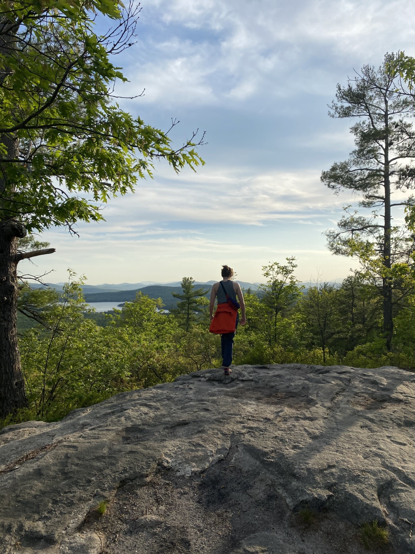
Bald Pate Mountain
Route 107, Bridgton
This kid-friendly network of 6.7 miles of trails – but much shorter routes right to the top – traverses woods and meadows, leading to a scenic summit with pitch pine forest and plenty of space among the granite slabs to sit and have a snack while enjoying the view.
Bauneg Beg Mountain
Fox Farm Hill Road, North Berwick
A pleasant, well-marked network of trails leads to the 870-foot middle peak of this mountain, pronounced “Bonny Beg.” Summit views range north to the White Mountains and Mount Washington. Follow Bauneg Beg, Ginny’s Way, Linny’s Way and North Peak Loop for a fine 1.5-mile circuit.
Bradbury Mountain
528 Hallowell Road, Pownal
Hiking trails total more than 5 miles, with routes of various length to the 484-foot summit, where sweeping granite ledges reward hikers with easterly views to Casco Bay and the Portland skyline.
The view of Crescent Lake from Pismire Bluff in the Raymond Community Forest. Photo by Jerry Monkman
Pismire Mountain
Raymond Community Forest, Conesca Road, Raymond
From the Spiller Homestead Loop, take the Pismire Bluff Trial another mile up to a scenic overlook with views of Crescent Lake. One you’re back down, you can extend your time in the woods by walking the flatter trails on the other side of the community forest, including over bog bridges.
If you want to get your heart rate up a bit:
Douglas Mountain
Douglas Mountain Road and Spring Ledge Road, Sebago
Take a mile-long trail up to the summit and back, extend your hike by connecting to a loop at the top, or take quicker routes from a secondary trailhead further up Douglas Mountain Road. Climb up the 16-foot stone observatory built in the early 1900s at the summit to improve your views of Sebago Lake and the Presidential Range.
Sawyer Mountain
Route 117, Limington, or Sawyer Mountain Road, Limerick
The 3.6-mile round-trip route from Limington will take you by a historic hunting camp, a 19th-century cemetery and over the town line into Limerick and back. A sign indicates the former site of a lighthouse at the top, where there are benches for enjoying the view. Shave off a mile by summiting from the Limerick side.
The view from Pleasant Mountain in Bridgton. Photo courtesy of Loon Echo Land Trust
If you want to burn some serious calories:
Pleasant Mountain
Mountain Road, Bridgton
This will be the most challenging hike you’ll find here, reaching just over 2,000 feet. Four trailheads each offer options for accessing the summit. Take Bald Peak Trail to Sue’s Way to see the mountain’s ski area in a different light.
Copy the Story LinkSend questions/comments to the editors.

Success. Please wait for the page to reload. If the page does not reload within 5 seconds, please refresh the page.
Enter your email and password to access comments.
Hi, to comment on stories you must . This profile is in addition to your subscription and website login.
Already have a commenting profile? .
Invalid username/password.
Please check your email to confirm and complete your registration.
Only subscribers are eligible to post comments. Please subscribe or login first for digital access. Here’s why.
Use the form below to reset your password. When you've submitted your account email, we will send an email with a reset code.