

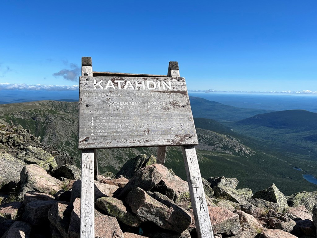

Proudly atop Katahdin’s Baxter Peak, the sign welcoming hikers is weathered and worn. Photo by Carey Kish
Gray and weathered, the brown paint long gone from constant exposure to the harsh elements, one of Maine’s most iconic signs sits proudly atop the state’s “mile-high” apex. Overlooking 209,644 acres of precious wild country forever preserved as Baxter State Park, it reads simply: “Katahdin. Baxter Peak. Elevation 5,267 feet. Northern Terminus of the Appalachian Trail.”
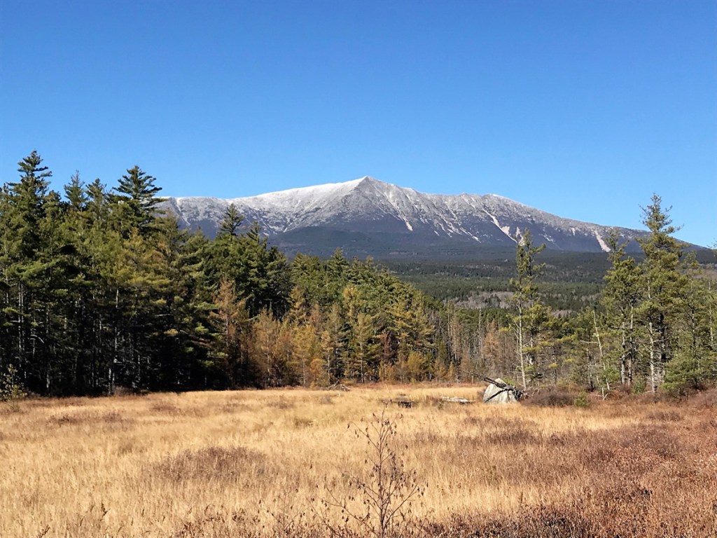
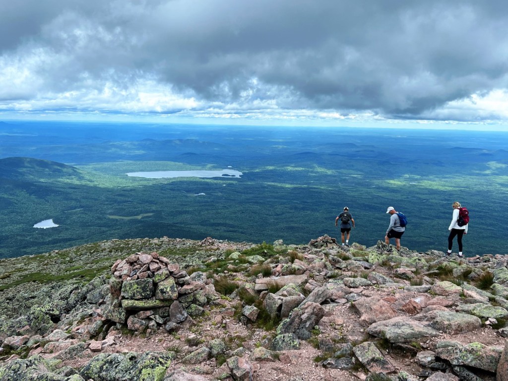
For thousands each year, a hike to the panoramic summit of Katahdin is a pilgrimage, a regular goal for some, a once-in-a-lifetime challenge for others, and for northbound thru-hikers of the Appalachian Trail, it’s the culmination of a 2,192-mile journey from Springer Mountain, Georgia. The perennial allure of “K’taadn,” Maine’s “Greatest Mountain” for hikers from near and far is understandably real.
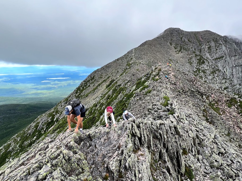
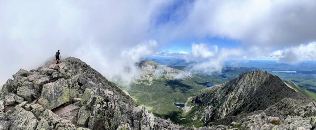
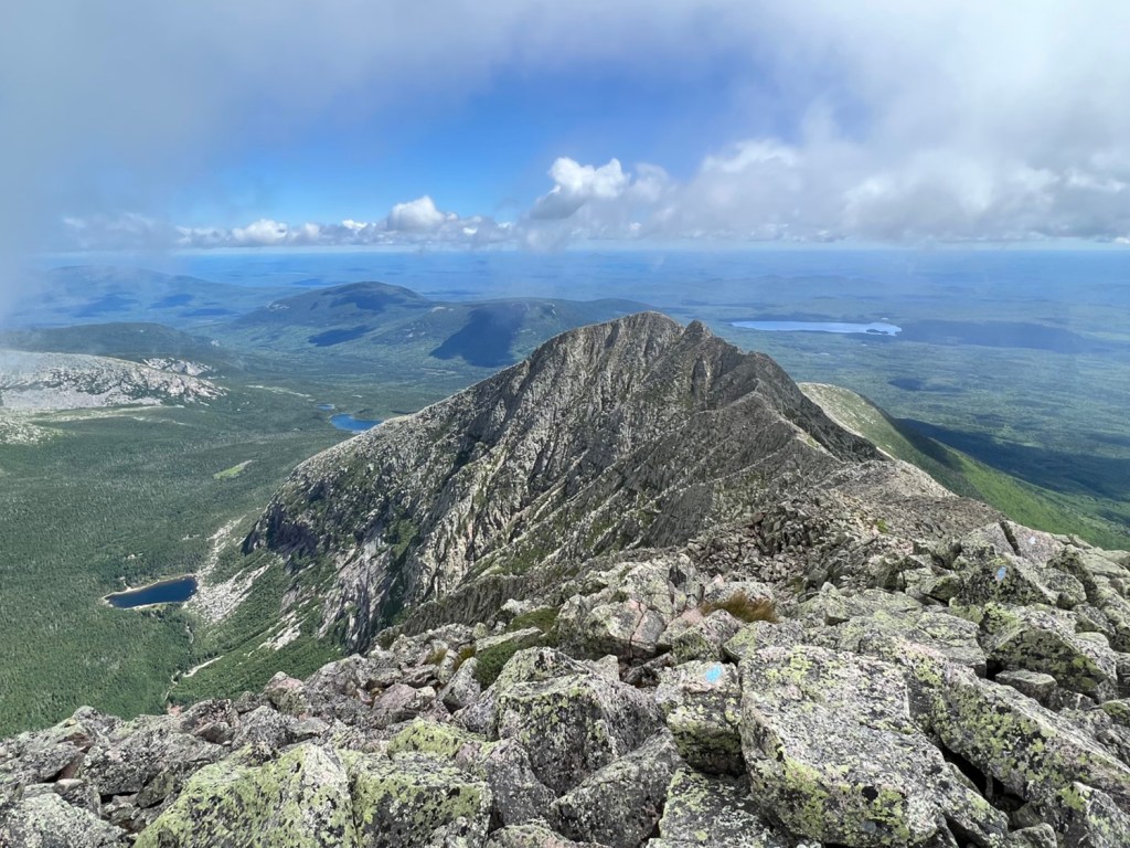
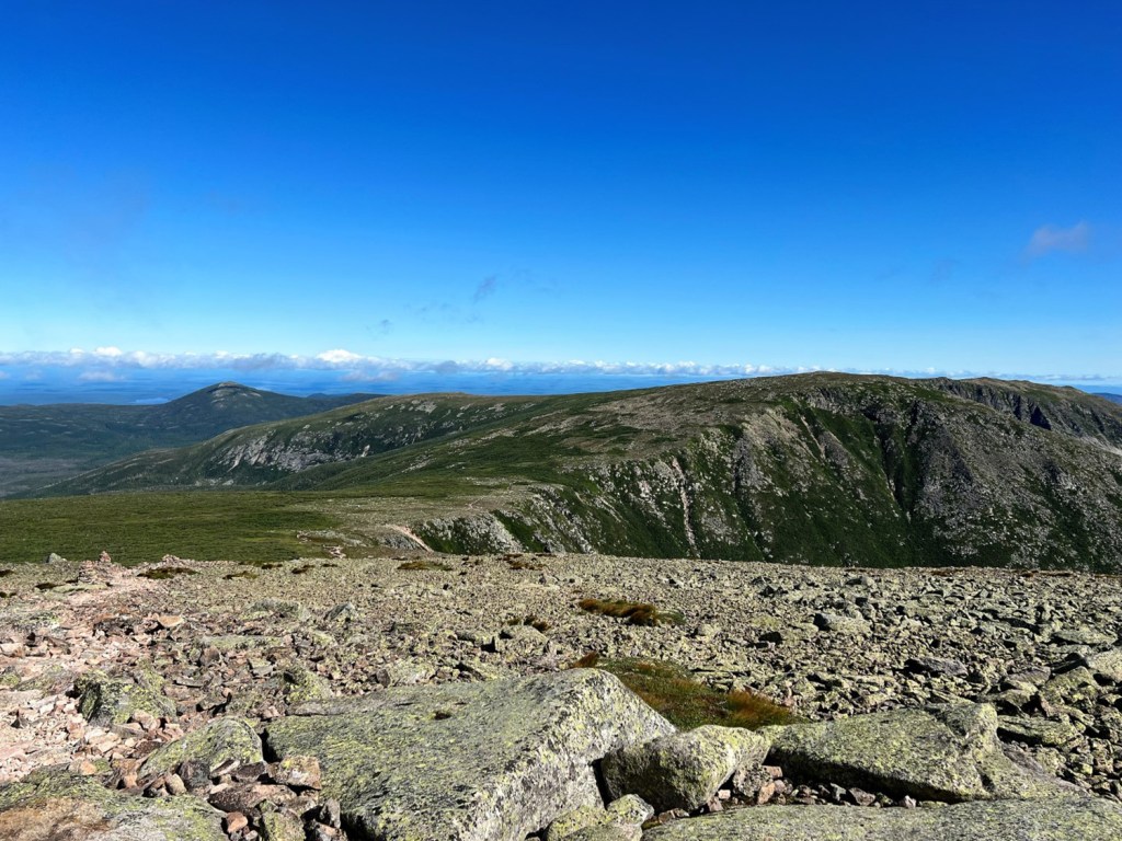
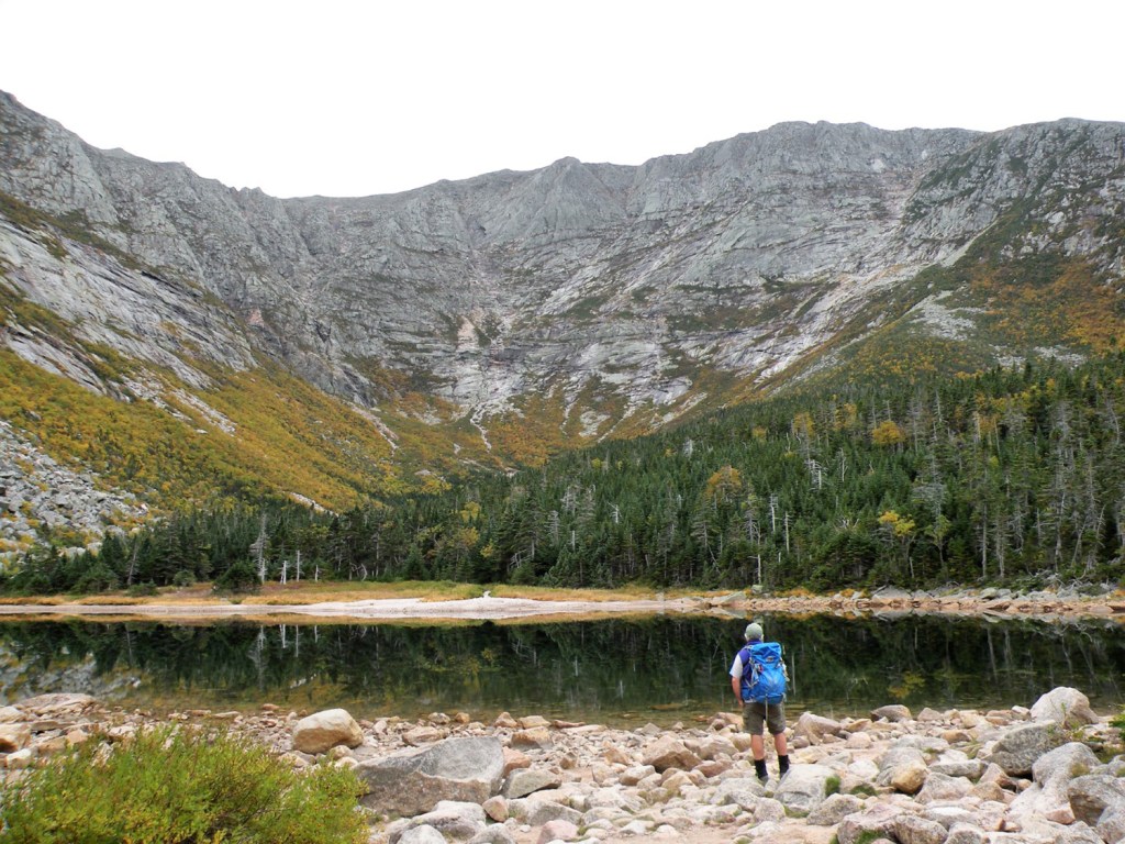
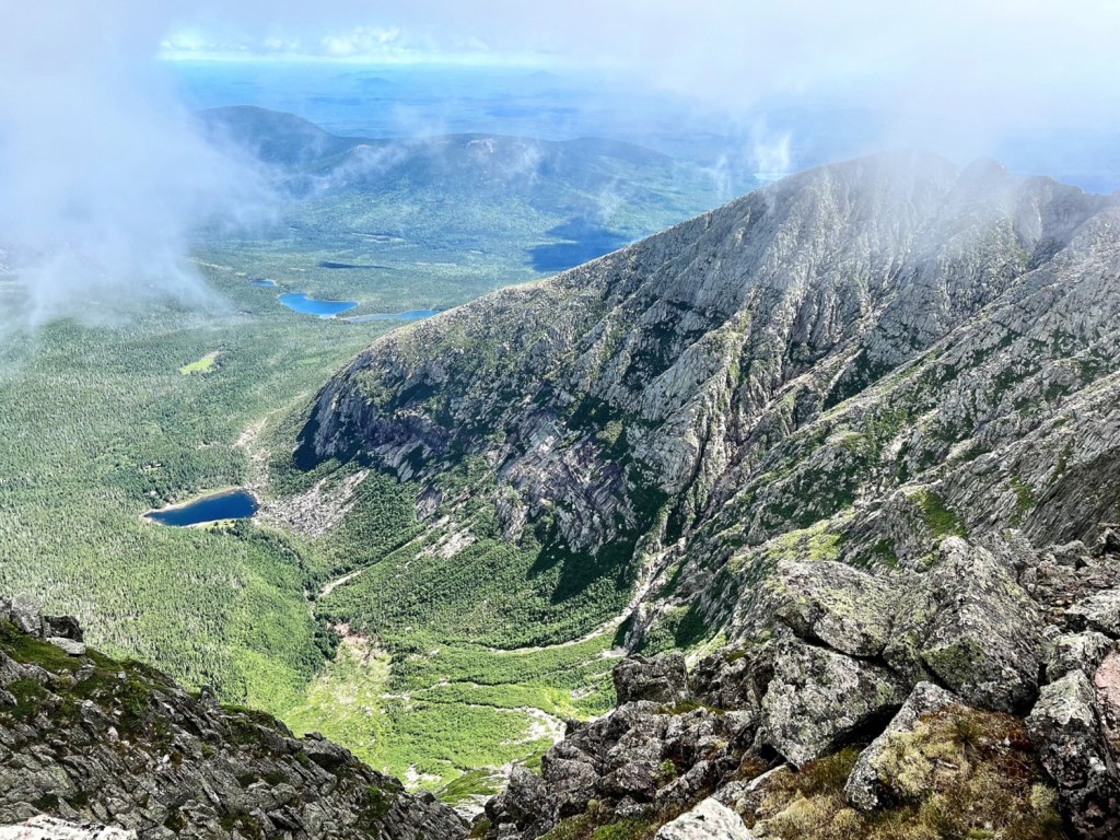
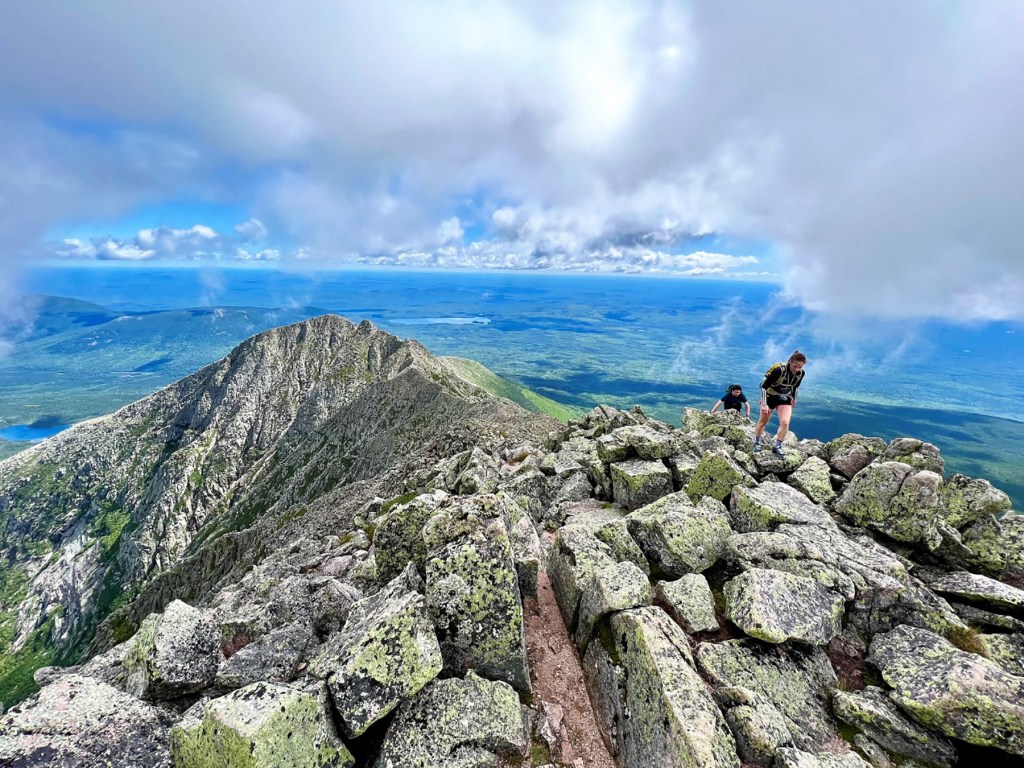
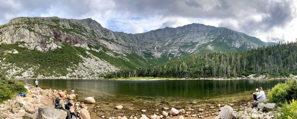
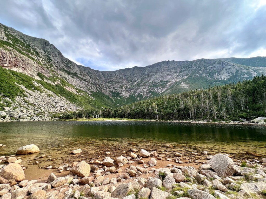
To the north, the mountain’s steep walls drop away in a dramatic sweep to Chimney Pond, the sparkling jewel of the Great Basin 2,350 feet below. Beginning with Pamola and Chimney Peak, a series of precipitous ramparts outline the famously serrated ridgeline of Knife Edge, which as its name suggests, narrows to just several exhilarating feet in places on its way to South Peak.
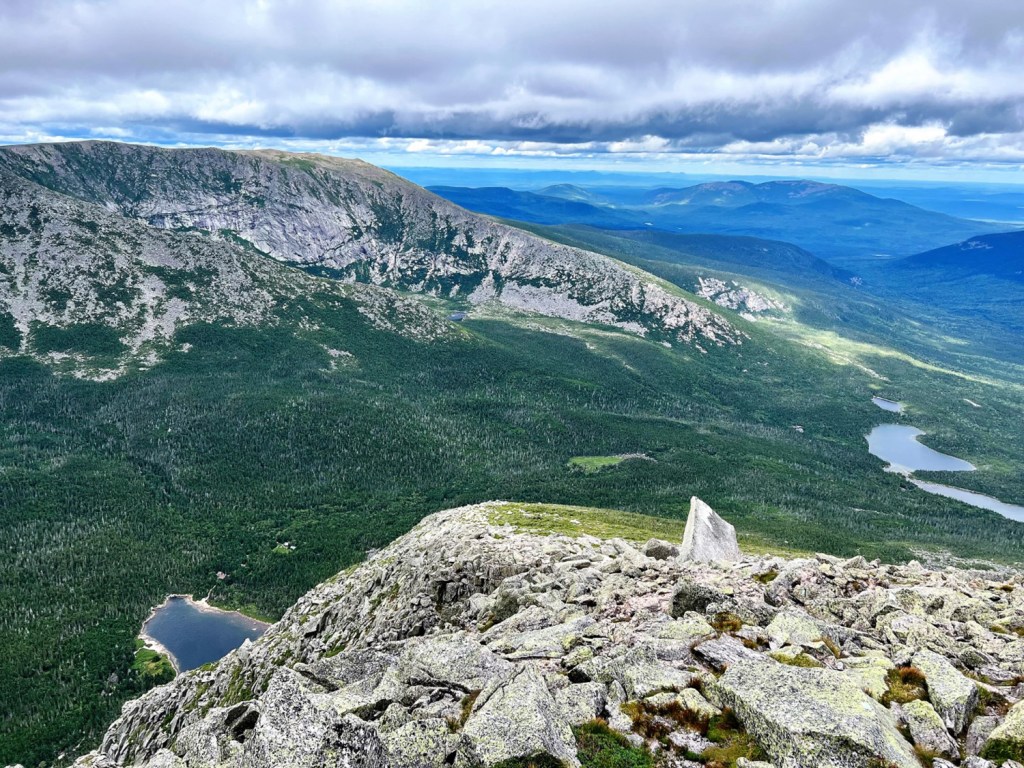
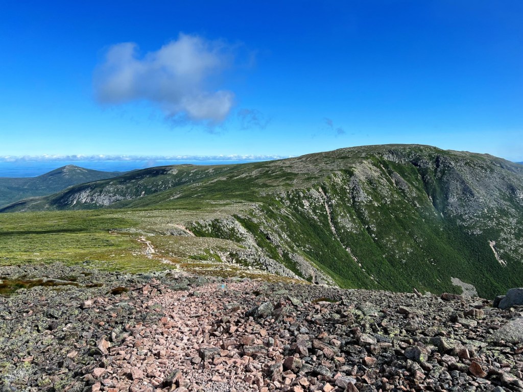
On the far side of the Saddle, Hamlin Ridge meets Hamlin Peak, and beyond are the Howe Peaks and Northwest Plateau. To the west, the mountain slopes gradually away from Baxter Peak to meet the Tableland, the heart of Maine’s largest expanse of Alpine zone. Looking south, Katahdin gives way to the West Branch of the Penobscot River and the 100-Mile Wilderness.
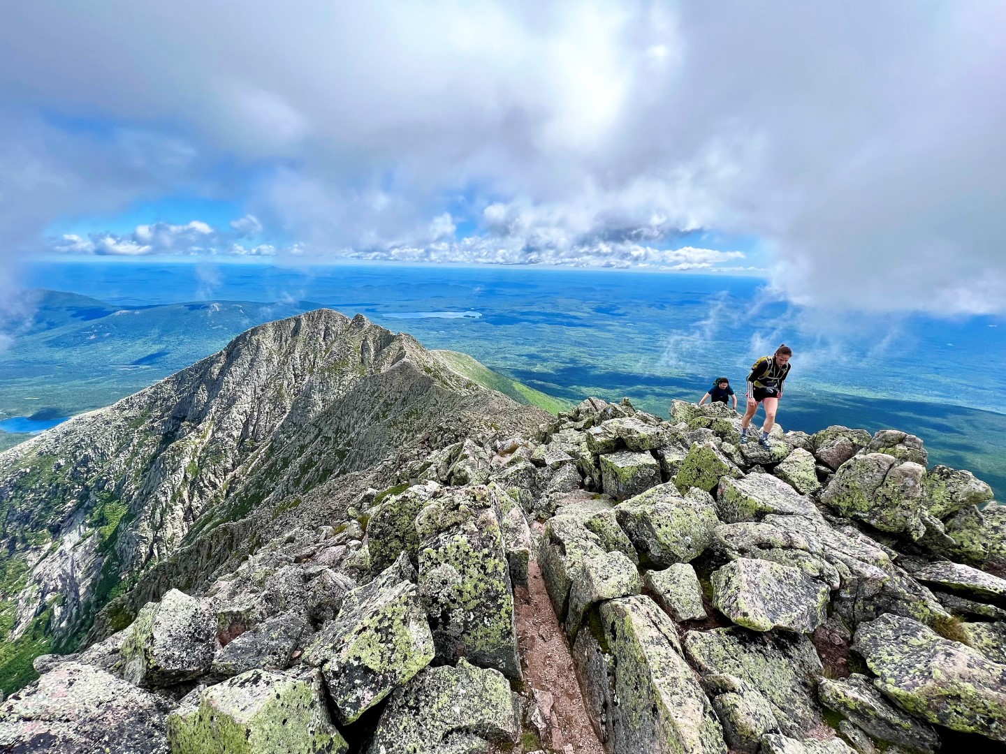
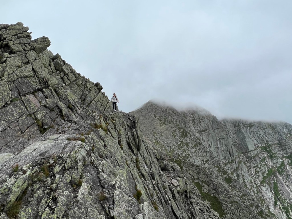
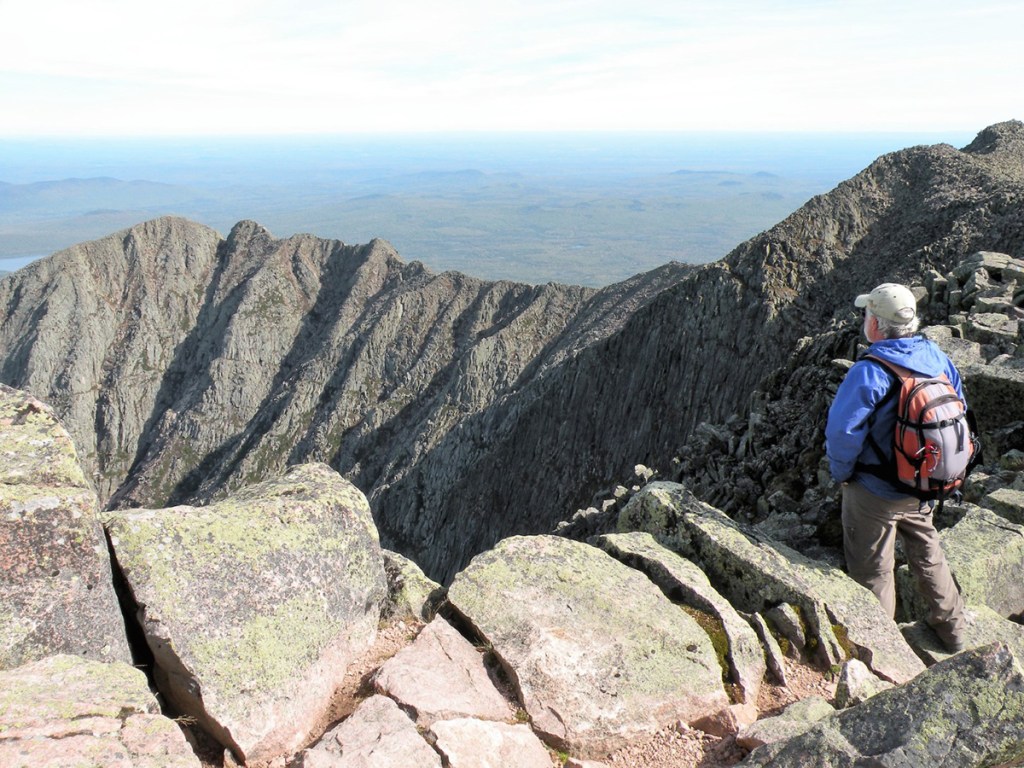
Hikers on the Knife Edge, not far from Katahdin’s South Peak. Photo by Carey Kish
Proper advance planning and preparation are essential for a safe and enjoyable Katahdin climb. Fortunately, Baxter State Park offers a wealth of helpful hiker information at baxterstatepark.org. Friends of Baxter State Park is also a good reference. Pore thoroughly through each website and take good notes.
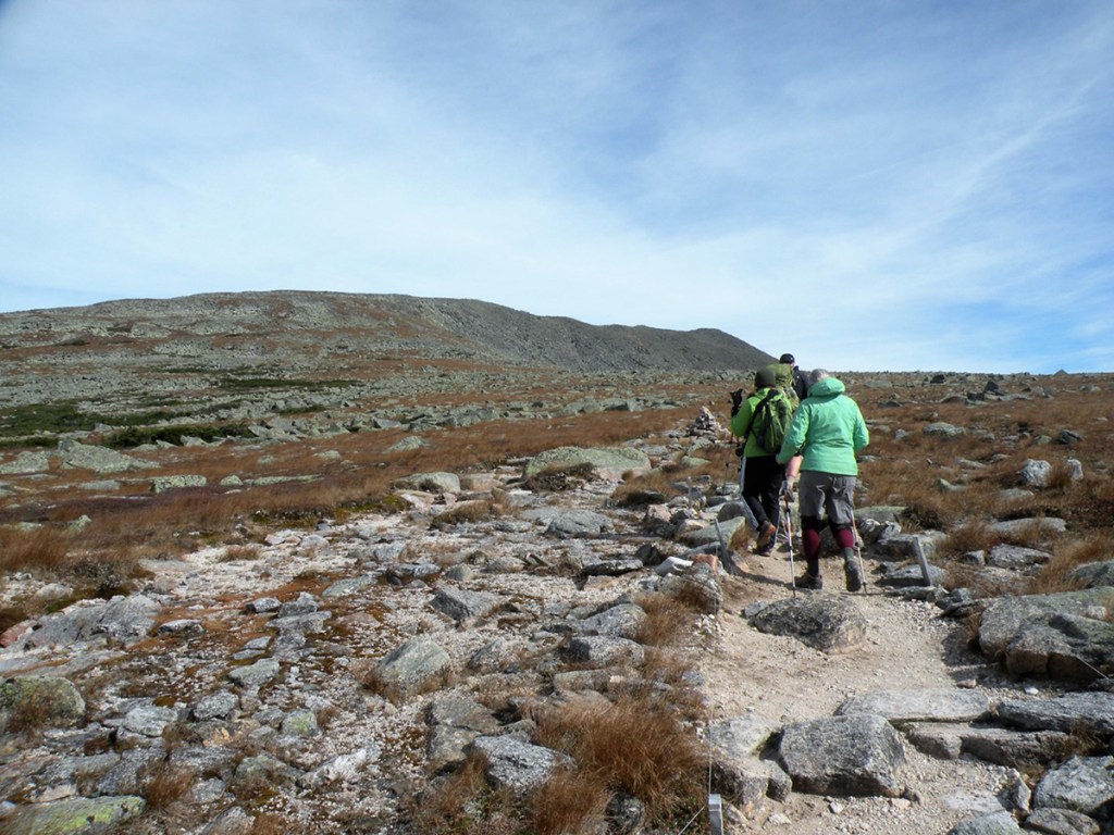
Select and research your hiking route. The “AMC Maine Mountain Guide” and the park’s own “Katahdin: A Guide to Baxter State Park” are excellent resources for the task. For day hikers, there are three primary trailhead access points: Katahdin Stream Campground and Abol Campground on the mountain’s west side, and Roaring Brook Campground at its eastern base. Each hiking route has its own particular character, difficulties, views and history. None of them is easy. Rather, all should be considered serious, strenuous undertakings in high, rugged, exposed terrain.
Parking is very limited, so you’ll want to obtain a day-use parking reservation for any of the three Katahdin trailheads to avoid disappointment. These are $5 and can be made online. You’ll need to arrive at the park by 7 a.m. to claim your parking reservation; otherwise it will be forfeited and released to others onsite who may need one (something to consider if you’ve arrived without a reservation). You may also want to reserve some alternate days and have a lower elevation hike in mind as a backup plan, as not every day is a good day to hike Katahdin.
Get in shape for the big climb, both physically and mentally. Consider that your hike will take eight to 12 hours over 9 to 11 miles round-trip and gain anywhere from 3,800 to 4,200 feet of elevation. Every step is over rocky ground, and the descent will take roughly the same amount of time as the ascent. The best way to get ready is to hike, so do lots of it in advance to build your stamina and help reduce fatigue and avoid the possibility of injury. You are responsible for your own safety on Katahdin, as help can be many hours away.

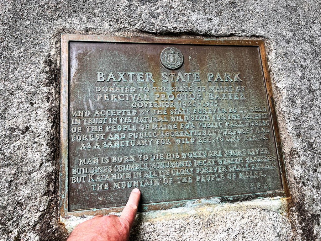
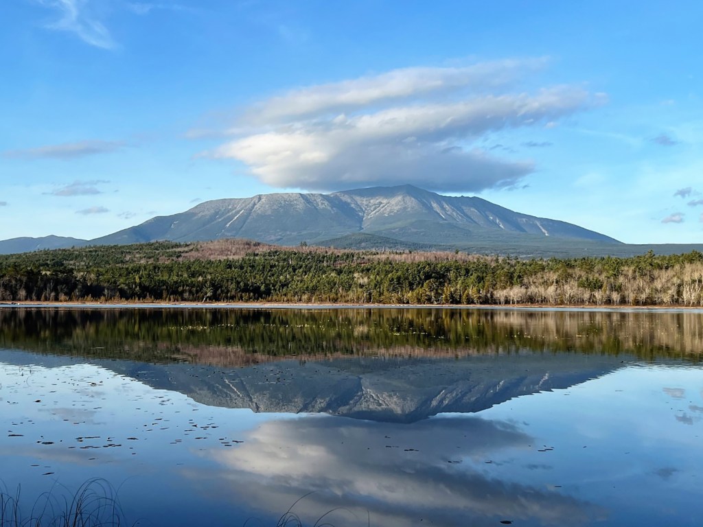
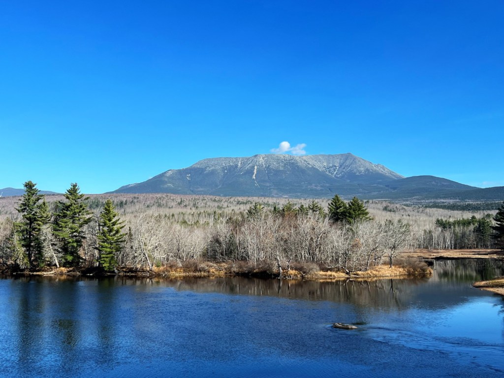
Thanks to former Maine Gov. Percival Baxter, 209,644 acres of precious wild country are forever preserved as Baxter State Park. Photo by Carey Kish
On hike day, pack the “Ten Essentials,” to include (among other items) warm, weatherproof clothing, plenty of food and water, a headlamp (required) and a trail map. Bring a trash bag for packing out everything you carry in, including biodegradable waste. While it may be warm and sunny down below, high above the weather will be much different. Check the forecast, ask the advice of a ranger and be sure to sign the trail register.
Set a turnaround time and stick to it. Don’t stray from the trail, as the Alpine environment is fragile and errant footsteps can do a lot of harm. Remember the old climber’s adage, that getting to the top is optional, but returning safely to the trailhead is mandatory. There’s no hike quite like Katahdin, so enjoy the adventure, take lots of photos and have fun!
Carey Kish of Mount Desert Island is editor of the “AMC Maine Mountain Guide,” a two-time AT thru-hiker and a veteran of more than 50 Katahdin hikes. Follow more of Carey’s adventures on Facebook and Instagram.
Copy the Story LinkSend questions/comments to the editors.

Success. Please wait for the page to reload. If the page does not reload within 5 seconds, please refresh the page.
Enter your email and password to access comments.
Hi, to comment on stories you must . This profile is in addition to your subscription and website login.
Already have a commenting profile? .
Invalid username/password.
Please check your email to confirm and complete your registration.
Only subscribers are eligible to post comments. Please subscribe or login first for digital access. Here’s why.
Use the form below to reset your password. When you've submitted your account email, we will send an email with a reset code.