

Get the plows on and the shovels ready – snow is coming to (most) of Maine starting Sunday and lasting into Monday.
The heavy, wet snow will make for messy morning and evening commutes. Travel will be difficult, if not impossible, at times late Sunday into early Monday. There could even be some power outages thanks to gusty wind in the higher terrain and pasty, wet snow on tree limbs.

The jackpot for this storm will be the western mountains of Maine heading up into the central highlands. I also expect the White Mountains in New Hampshire to get hit pretty good, with 6 to 10 inches of snow. The highest terrain in those areas will get around a foot of heavy, wet snow.
Less snow will fall elsewhere because the temperature will be closer to freezing.
Even less snow will fall along the coast near the I-95 and 295 corridors, where I expect mostly rain due to the above-freezing ground temperatures.
Winter storm watches are in place for the areas that the National Weather Service believes have the best shot at significant snow. This won’t be a major storm or a nor’easter, but we will get significant snow away from the coast.
The snow starts midday Sunday and ends Monday afternoon (early evening Down East). It will cause travel problems for nearly all of Maine, except for the southern coast and the immediate Down East coastline.
Here’s the radar at 11 p.m. Sunday…

… at 5 a.m. Monday …

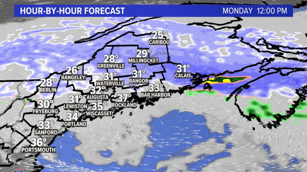
… and at noon Monday.
This storm won’t go down in the record books, but I hope you have your snow tires on – winter always arrives early in Maine, and this year is no different.
Send questions/comments to the editors.

Comments are no longer available on this story