Passadumkeag Mountain is an isolated mountain mass ranging nearly the entire breadth of Grand Falls Township in a remote corner of Penobscot County about a dozen miles east of the Penobscot River. Rising high from a vast green sea of commercial forestlands, the mountain is a worthy goal for adventurous hikers seeking a good measure of off-the-beaten path exploring.
Multi-summited Passadumkeag Mountain tops out at a modest 1,471 feet, but it nonetheless constitutes the highest point between Acadia’s Cadillac Mountain and Katahdin in Baxter State Park. This factoid is even more interesting because that’s exactly the enormous panoramic arc you’ll enjoy from a spot just west of Passadumkeag’s main peak.
Passadumkeag Mountain has been described in the AMC Maine Mountain Guide for more than six decades. The original approach was from the north, from Route 188 in Saponac on the Passadumkeag River. The fire warden’s trail in the Upper Sand Brook drainage was obliterated by logging at some point in time, however, turning that hike into a bushwhack.
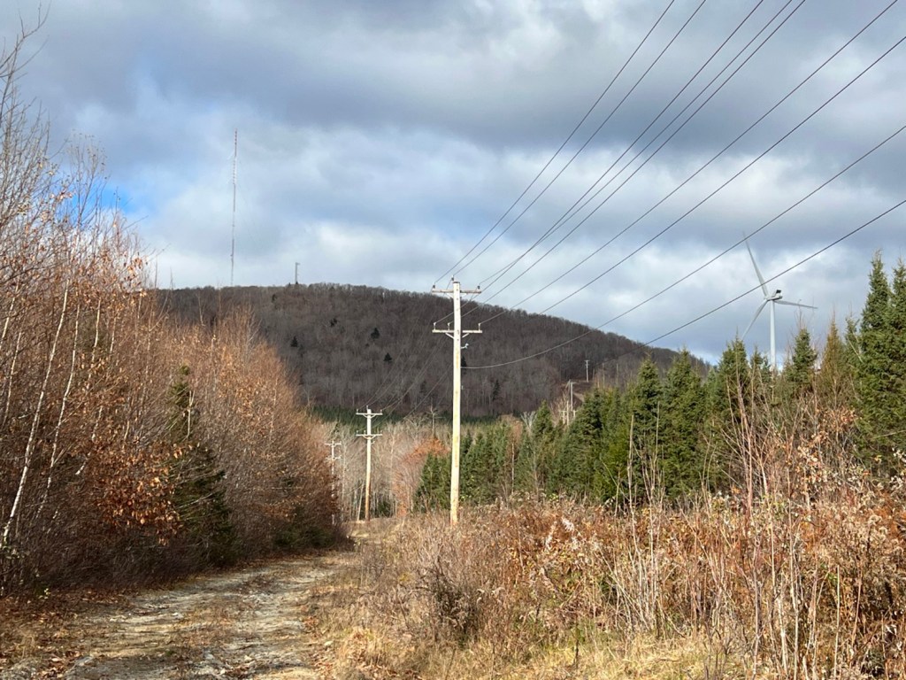
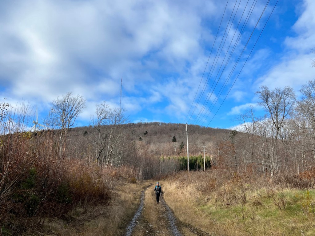
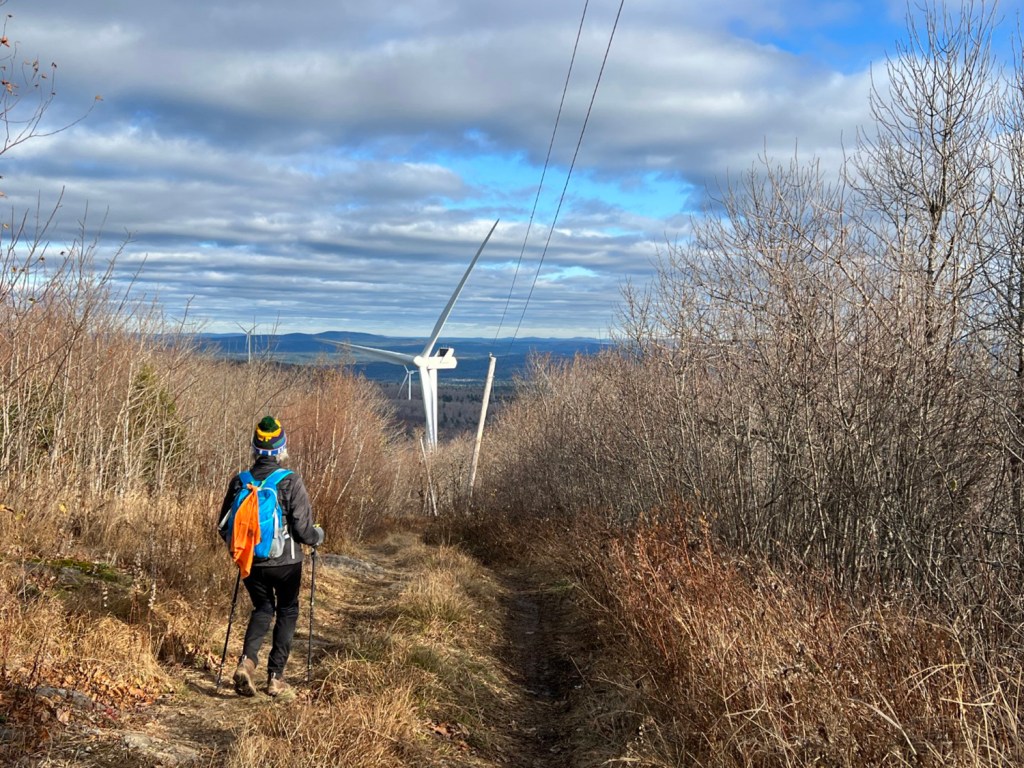
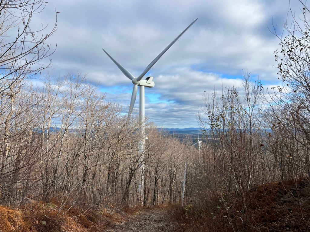
On the south side of Passadumkeag Mountain, the Maine Forest Service maintained a Jeep road to the summit fire tower until 1970, and this is the route hikers still follow today, a distance of 2 miles one-way. Power poles line the old road and the ridgeline is adorned with two communications towers and 13 wind turbines, but it’s a beauty of a walk just the same.
The scenic drive into the Passadumkeag trailhead via the Greenfield Road is worth the price of admission. The first 11 miles from US Route 2 in Costigan are paved, then you’re on gravel the rest of the way. County maintenance ends at the 13-mile mark, and although it’s a little bumpy after that, prudent driving should get you to the yellow gate and roadside parking.

The hike up Passadumkeag Mountain begins from a yellow gate on Greenfield Road at a point 17.7 miles west of U.S. Route 2 in Costigan. Please do not block it. Carey Kish photo
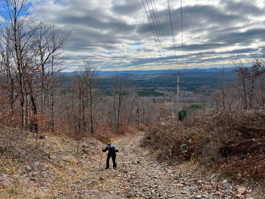
The top of Passadumkeag is in view for most of the hike, while behind you the big views to the mountains around Donnell Pond and in Acadia National Park open up the higher you climb. It’s a gentle grade to the old fire warden’s cabin and an outbuilding, both in serious disrepair and slowly being reclaimed by the forest. Here, too, is where the original warden’s trail from the north once entered.
Fed by a spring just uphill, the tiny pond in front of the cabins shows clear of evidence of new residents at the site. A family of beavers has been busy cutting down trees, building up the dam and constructing a nice lodge at the pond’s berm. The handiwork of these industrious critters is remarkable, and it’s worth poking around here some.

The abandoned fire warden cabin and a tiny pond are located part way up Passadumkeag Mountain. Carey Kish photo
Beyond the cabin, it’s a steady, steep climb to the ridge and the first wind tower. The track soon turns west to reach the top of Passadumkeag Mountain, which has grown in and offers no views. A weathered log shelter, the old fire warden’s lightning shack used as a safe haven when warranted by dangerous conditions, marks the summit.
The rusted hulk of the downed fire tower is just behind the lightning shack. The 30-foot tower was erected in 1919, and a man named Jesse Harriman served as the fire warden here from 1923 to 1953 during the heyday of mountaintop tower use for forest fire protection. The Passadumkeag tower was abandoned in 1970 and cut down a few years later.
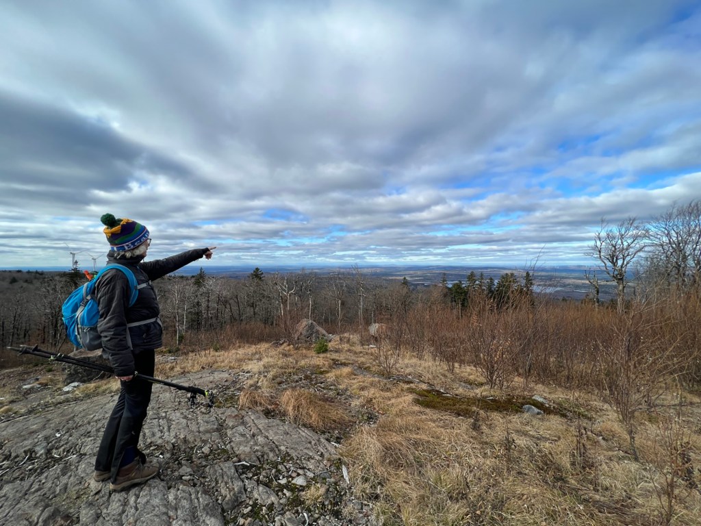
You could now check the box on your Passadumkeag summit and head back down; but don’t. Not yet anyway. Instead, continue on the Jeep road, pass a comm tower on the right, and at the next comm tower complex, bear left around it and head for the obvious wind turbine. Angle right, out into the open, where there’s an iron pin in a low rock pile. Welcome to the glorious 180-degree panorama!

The summit ridgeline of Passadumkeag rewards hikers with a 180-degree panorama that ranges from the coast to Katahdin. Carey Kish photo
Looking north over Saponac Pond and the Passadumkeag River, majestic Katahdin is 60 miles distant. From there, trace the route of the Appalachian Trail over the mountain peaks toward New Hampshire, then drink in the vista of the coastal mountains 40 miles away. Excepting the nearby towers, there’s little in view but woods and waters. This is what you’ve come for. Fix it firmly in your mind’s eye and revel in the moment, as the scene is nearly impossible to digitally capture.
Carey Kish, of Mount Desert Island, is the author of Beer Hiking New England, AMC’s Best Day Hikes Along the Maine Coast, and the AMC Maine Mountain Guide (the new 12th edition is now available). Follow more of Carey’s adventures on Facebook and on Instagram @careykish.
Copy the Story LinkSend questions/comments to the editors.





Success. Please wait for the page to reload. If the page does not reload within 5 seconds, please refresh the page.
Enter your email and password to access comments.
Hi, to comment on stories you must . This profile is in addition to your subscription and website login.
Already have a commenting profile? .
Invalid username/password.
Please check your email to confirm and complete your registration.
Only subscribers are eligible to post comments. Please subscribe or login first for digital access. Here’s why.
Use the form below to reset your password. When you've submitted your account email, we will send an email with a reset code.