A beautiful creekside canyon campsite in the Saddle Rock Riparian Area south of Silver City.
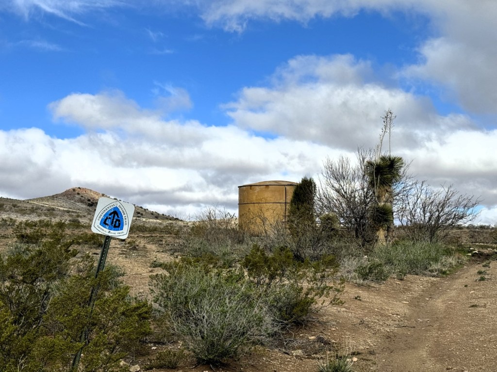
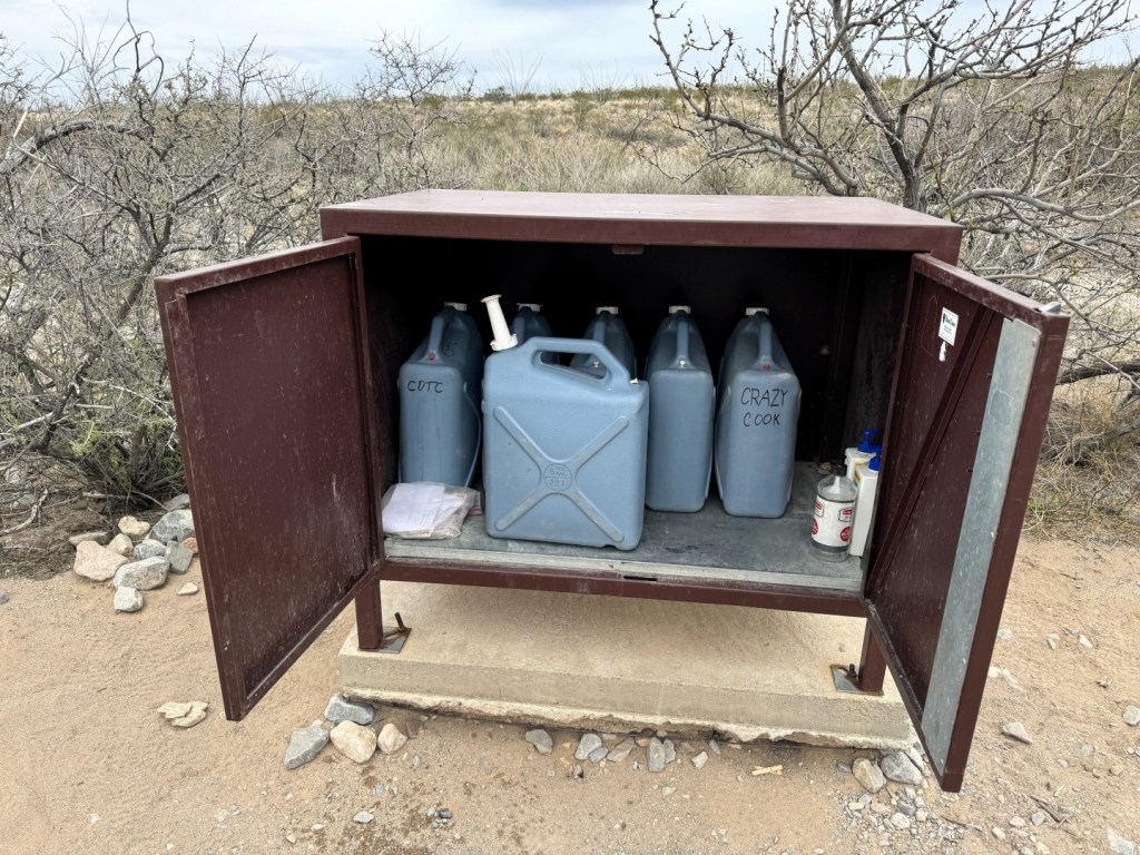
Besides water caches in the first 84 miles, CDT hikers must rely on water tanks and windmills.

Campsites on the CDT are pretty much where you make them. Finding protection from the wind is not easy.

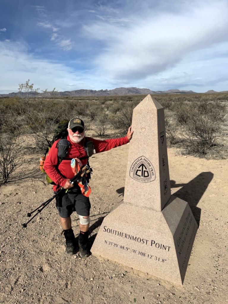
Carey Kish at the Crazy Cook Monument, the southern terminus of the CDT in New Mexico's Bootheel.

Carey Kish on the CDT in the Big Hatchet Mountains.
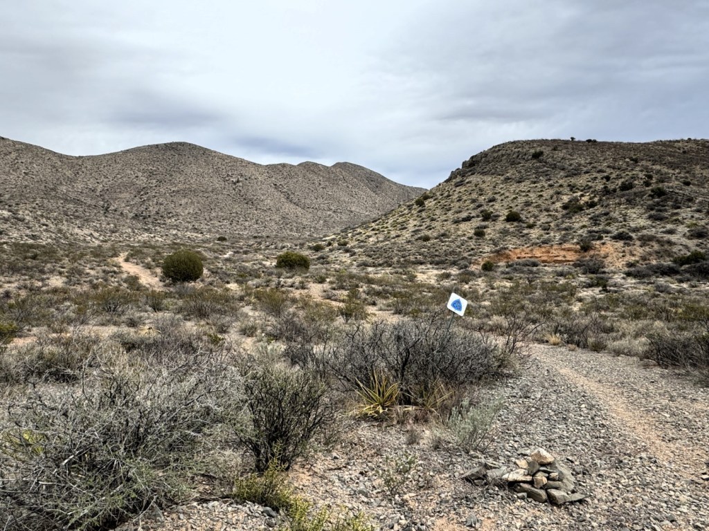
From the Mexican border, the CDT leads north into the Big Hatchet Mountains.

North of Lordsburg, the higher elevation terrain features oak, juniper, pinyon pine and ponderosa pine. (2)
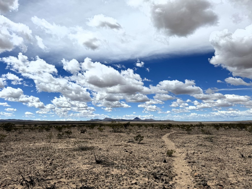
On the CDT through a wide, flat valley heading for the Pyramid Mountains.
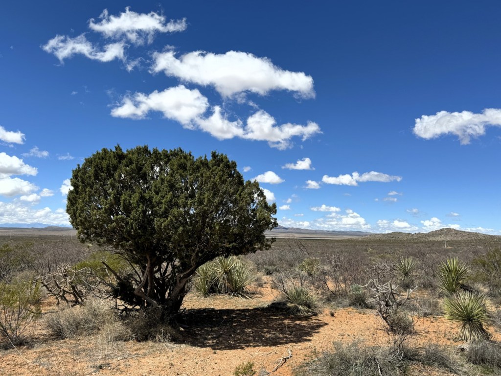
Only the irregular juniper provides shade in the first 84 miles of the CDT.

Satisfying the hiker hunger at Burro Mountain Homestead near mile marker 121.
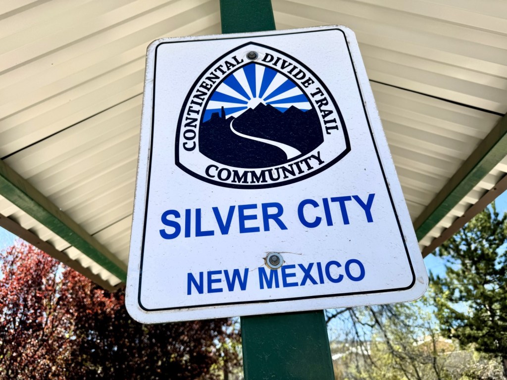
The CDT gateway town of Silver City is reached at mile marker 158. (2)

The border fence between Mexico and New Mexico at the start of the CDT in the state's Bootheel.
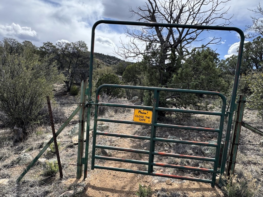
The CDT threads through cattle country, so there are numerous gates and stiles to negotiate. (2)
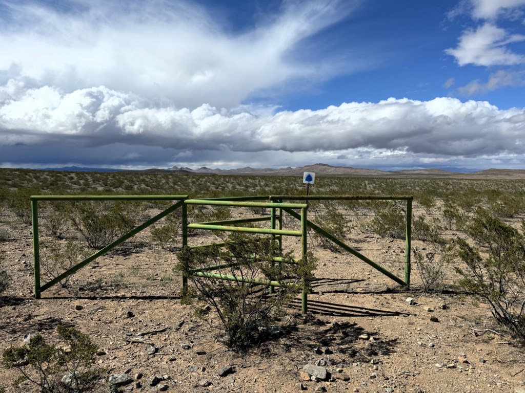
The CDT threads through cattle country, so there are numerous gates and stiles to negotiate.
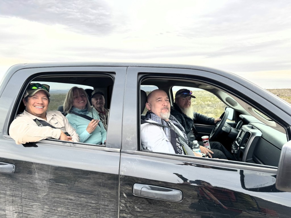
The CDTC shuttlle to the Crazy Cook Monument takes three hours, the last half over rough roads.

The incessant winds along the CDT have necessitated coooking inside the tent.
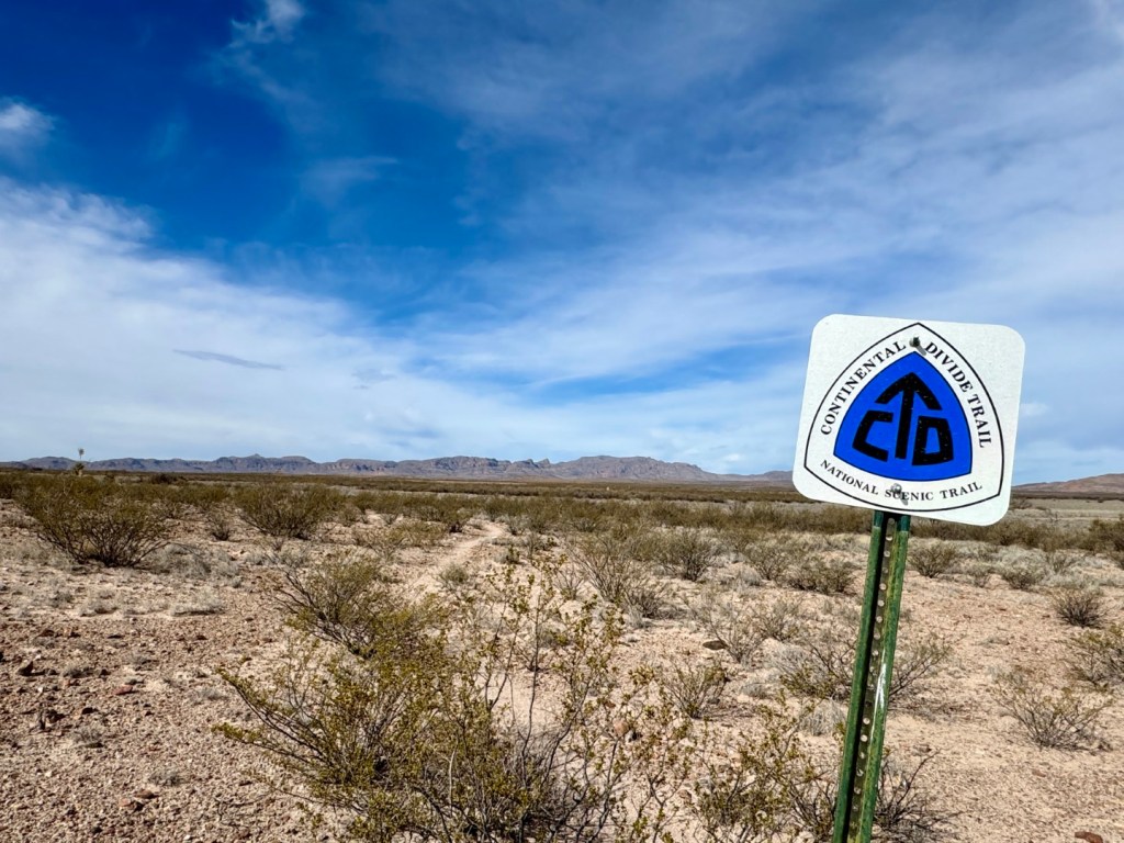
The first 100 miles or so of the CDT lead through dry, dusty, desolate Chihuahuan Desert terrain.
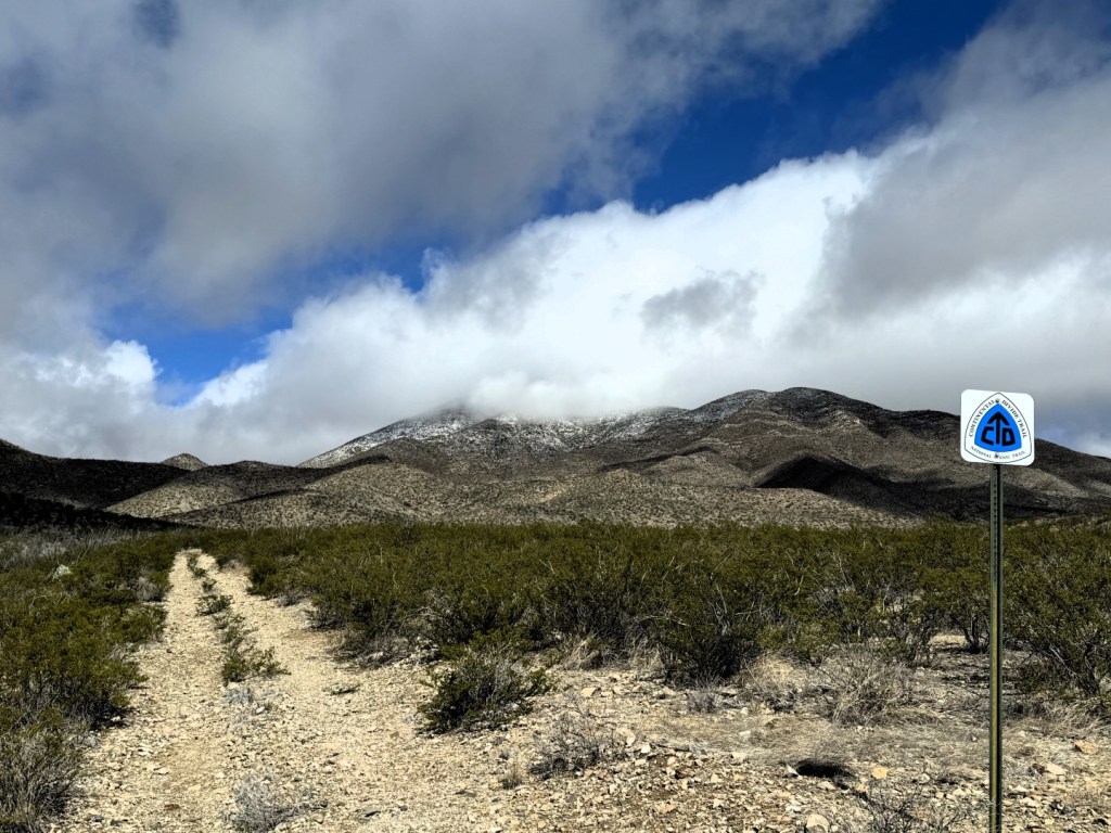
To date on the CDT, the weather has been wild, with hot sun, high winds, rain, sleet, hail and snow flurries.

Trail angels, like Radar, pictured here in the middle, help stock water caches and offer rides to hikers.